Keekwulee Falls

4.0 out of 5, (1) Mt. Baker National Forest-Snoqualmie, WA Easy 1 trip report · 42 photos
Round trip
4 mi
Elevation gain
1,250 ft
High point
3,500 ft
Difficulty
Easy +
Pass
None
Dogs
Allowed usually
Trip report

January 18, 2003

Easy + 4 hours Verdict: Good
★★★★★ 4.0 out of 5 from 1 vote · log in to vote

Directions: Directions: From. Seattle drive east on Interstate 90 to Exit 47/ Asahel Curtis/Denny Creek. Turn left over the overpass and proceed to the stop sign. Turn right and travel one-quarter mile to Deer Creek Road/Forest Service Road 58.Turn left, drive 2.5 miles, turning left on the paved road just after the Denny Creek Campground trailhead is at the roads end. Do not block the driveways when you park here.

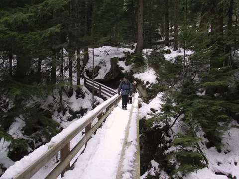
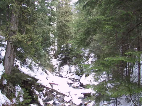
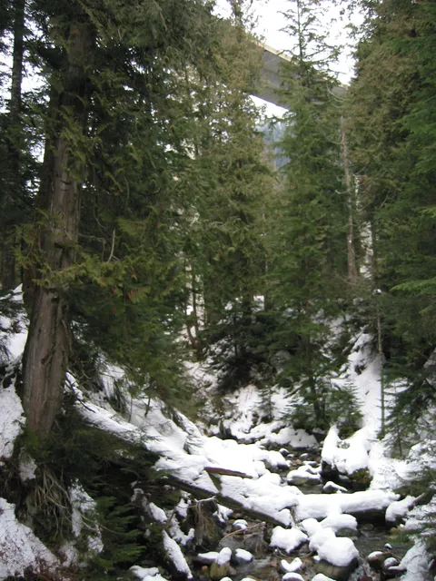
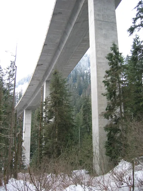
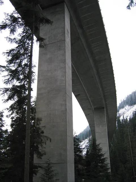
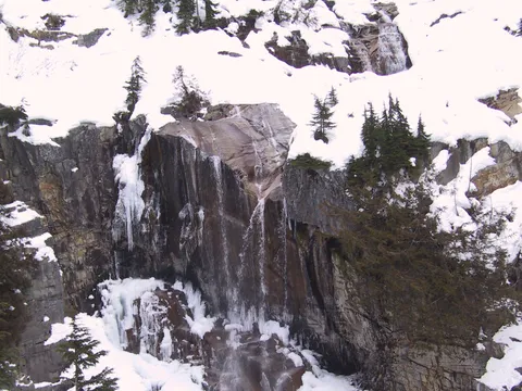
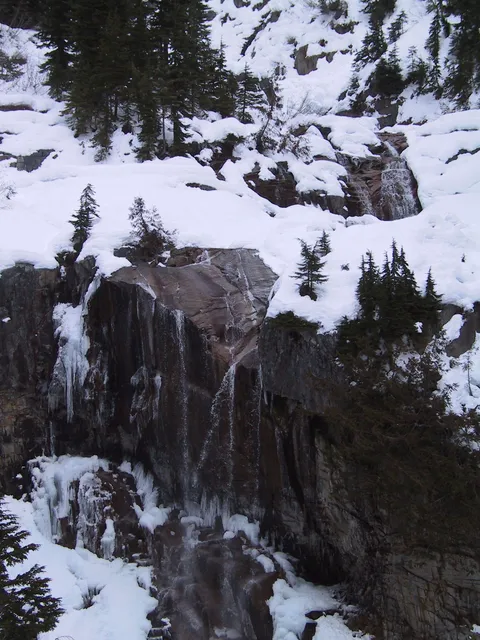
Trail notes: Denny Way. Denny Park. Denny Creek Trail. Which one would David Denny a prominent Seattle settler, be glad to see memorialized by his name? If you are stuck in traffic Denny Way and can see Denny Park, you correctly answer "C," Denny Creek Trail. The route bearing his name is one of the most spectacular in the Snoqualmie Pass area, with several waterfalls on Denny Creek-most notably Keekwulee Falls--providing the highlights. The trail turns up under Interstate 90 and climbs gently, reaching lovely Keekwulee and Snowshoe Falls at 1.5 and two miles.

Photos 42

Highest rated first

Reviews 4

Great time in the snow

★★★☆☆
Anonymous · Nov 20, 2010 · Easy +

Went up to the falls today, with my 7 year old. Great time! Lots of snow, but trail was clear.

Falls to Lake

★★★☆☆
AbePuckett · Feb 21, 2010 · Easy +

Snow filled but easy trek to the falls. Snowshoe falls is barley running and not worth it, though if you have the day (and the lungs) head to Mekwala lake a few miles past this fall. Reviews for lake on this site. Low rating just due to low water volume off falls this time of year, surrounding areas breathtaking

Rain Covered

★★★★☆
Abe · Nov 13, 2008 · Easy +

Great afternoon hike I would reccomend to many. I didn't have the time today to make it all the way to the lake so we hit just these two falls. Becasue of all the recent rain there is a good portion of the trail completely covered in water so be prepared.  Keekwulee Falls actually looked really powerful and unlike any picture I'd seen so it's deffinitly worth it. Great surrounding views once you hit about 3,000 ft.  Actually started to snow right around Snowshoe falls and it was freezing. Franklin Falls is a beautiful fall in the same Denny Creek area so search it out if you have the day

snow-covered, April 2 2005

★★★☆☆
Eli · Apr 24, 2005 · Moderate

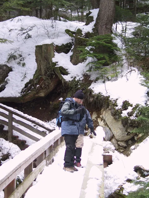
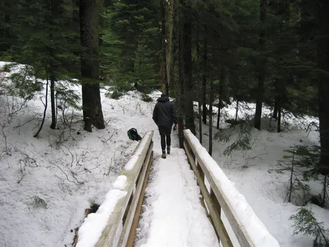
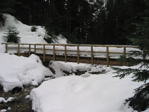
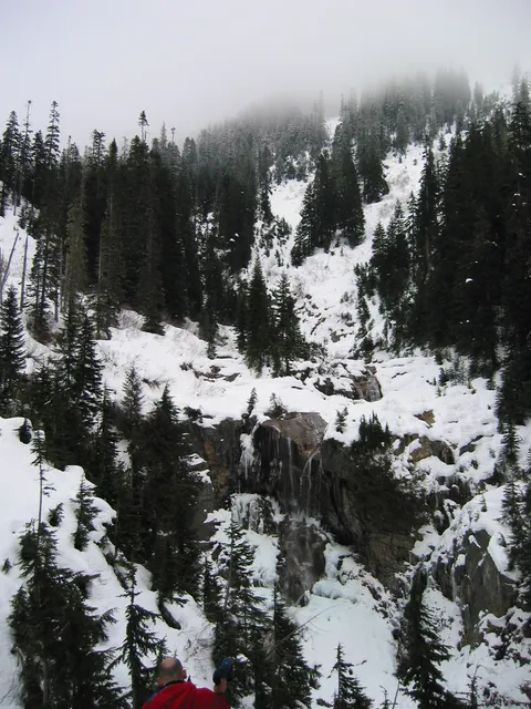
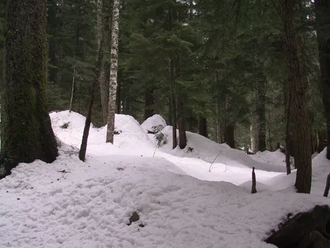
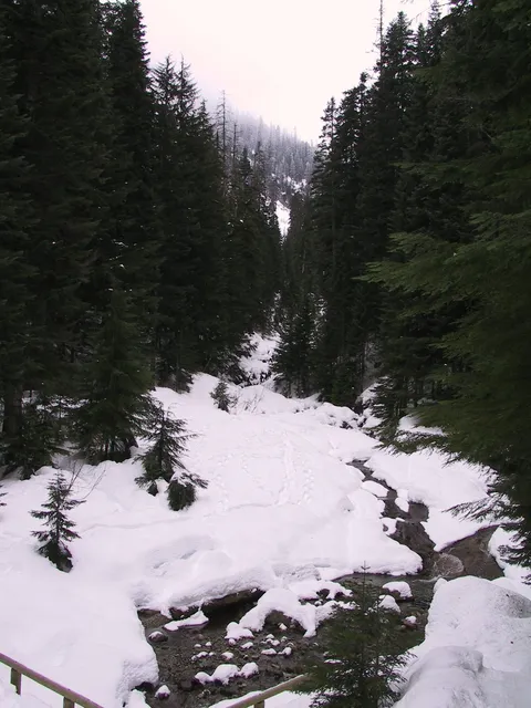
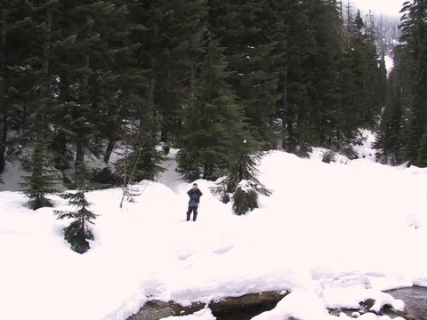
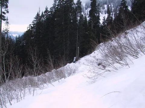
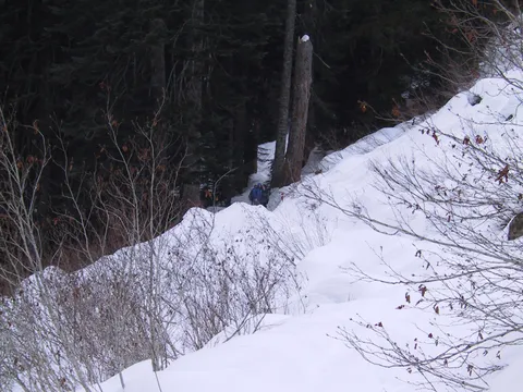
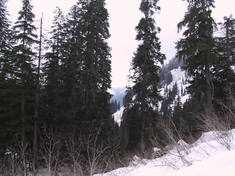
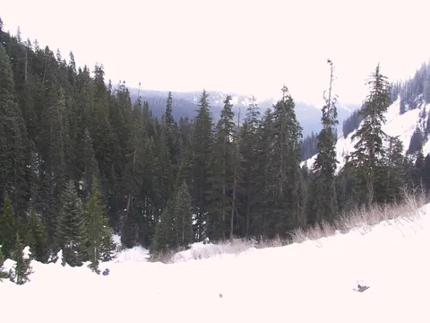
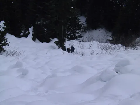
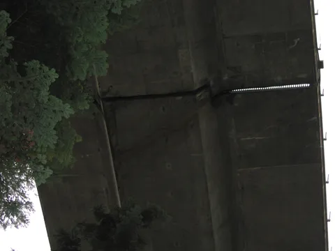
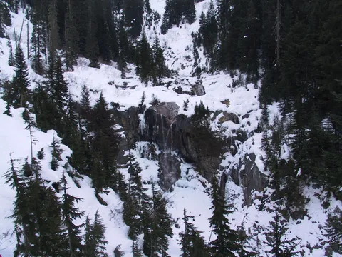
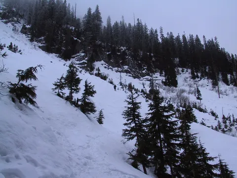
The first lowland stretch of this hike is nothing out of the ordinary, except for going under I-90, and it gets a lot of traffic noise; to my taste, the good part is once you gain some height and especially get into the open (nothing against trees -- I love trees -- but I'd do a different hike for serious trees), so I think I'd rather try this with better traction and an earlier start, and go on to Melakwa Lake. Still, it was good to get out in some snow. Hike time was three hours. April 2, 2005: snow on USFS 58, only wheel-tracks clear, a single set. Don't miss the turnoff from 58 to the little lollipop spur road, because it's no fun trying to turn around in the snow. Back at the fork, I just pulled off and parked and walked up the lollipop spur to the trailhead. It turned out the spur was no worse, and probably could have driven up it, but it also wasn't very far extra to walk. Mostly raining, mostly lightly. Trail covered with packed wet snow, the kind that feels solid until it gives way and your boot skates off or punches through. In the deeper stuff, out of tree cover, there's a very fine line between planting your foot on the snow for traction, and plunging into it up to the knee. Walking under the arc of I-90 high above does make you think how driving on a highway is the worst of all ways to appreciate the engineering that went into it. The trail crosses Denny Creek and heads gradually uphill, until it comes out onto an open slope, cleared by landslide or avalanche I can't tell. The mountain across the creek, Denny Mountain, comes clear sometimes through the clouds, towering above me. On my ridge, Low Mountain?, the snow line looks to be only a couple hundred feet further up, but I never got past the drizzle. Cross one open stretch, through a patch of trees, across and switchbacking up another. Came to Keekwulee Falls. I ate another sandwich here, and headed back into the trees. I was tired from this snow surface, and I could tell my feet were going to be soaking wet in not very long. Back at the car I found that the clearing I was by was a picnic spot, with table and grill. Snow pressed down through the grill, in two rows of fingers, for some reason each curving inwards, so like a ribcage.

Log in or sign up to write a review.