
Directions: From Seattle drive east on Interstate 90 to Exit 52/West Summit. Turn north beneath the freeway and immediately head right on a spur road to the Pacific Crest Trail parking lot.
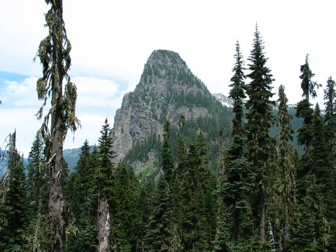
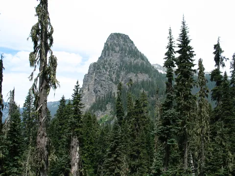
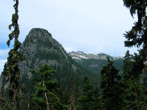
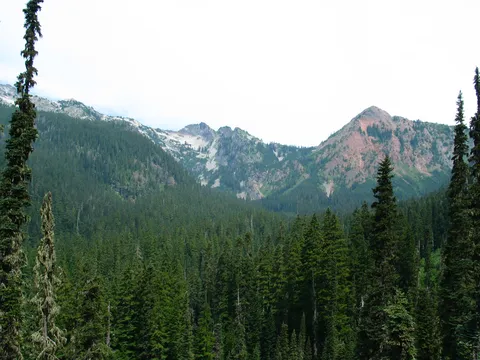
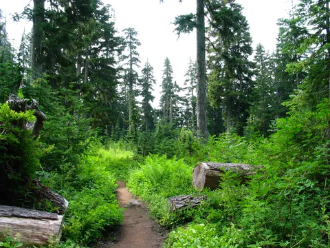
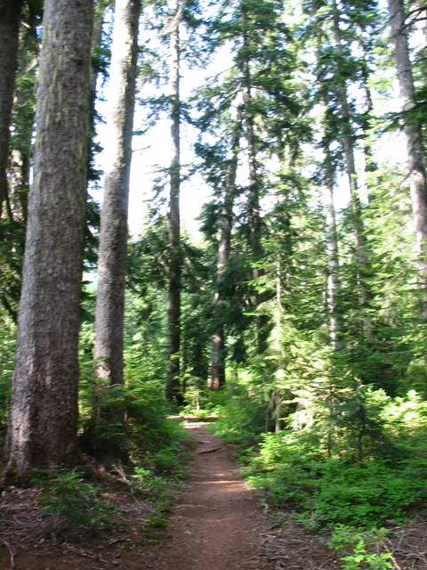
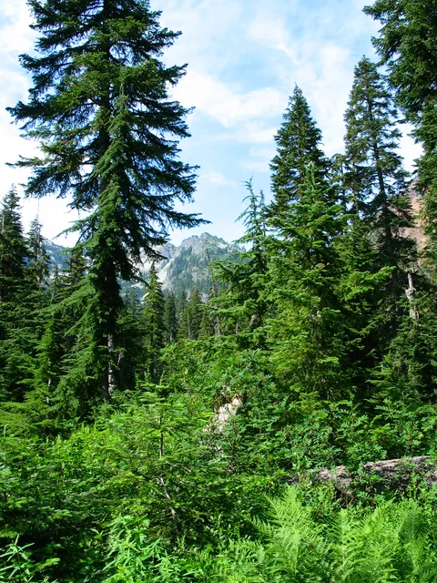
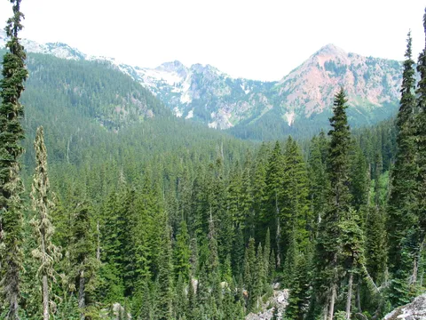
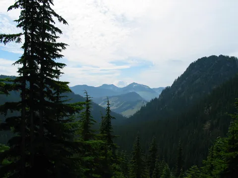
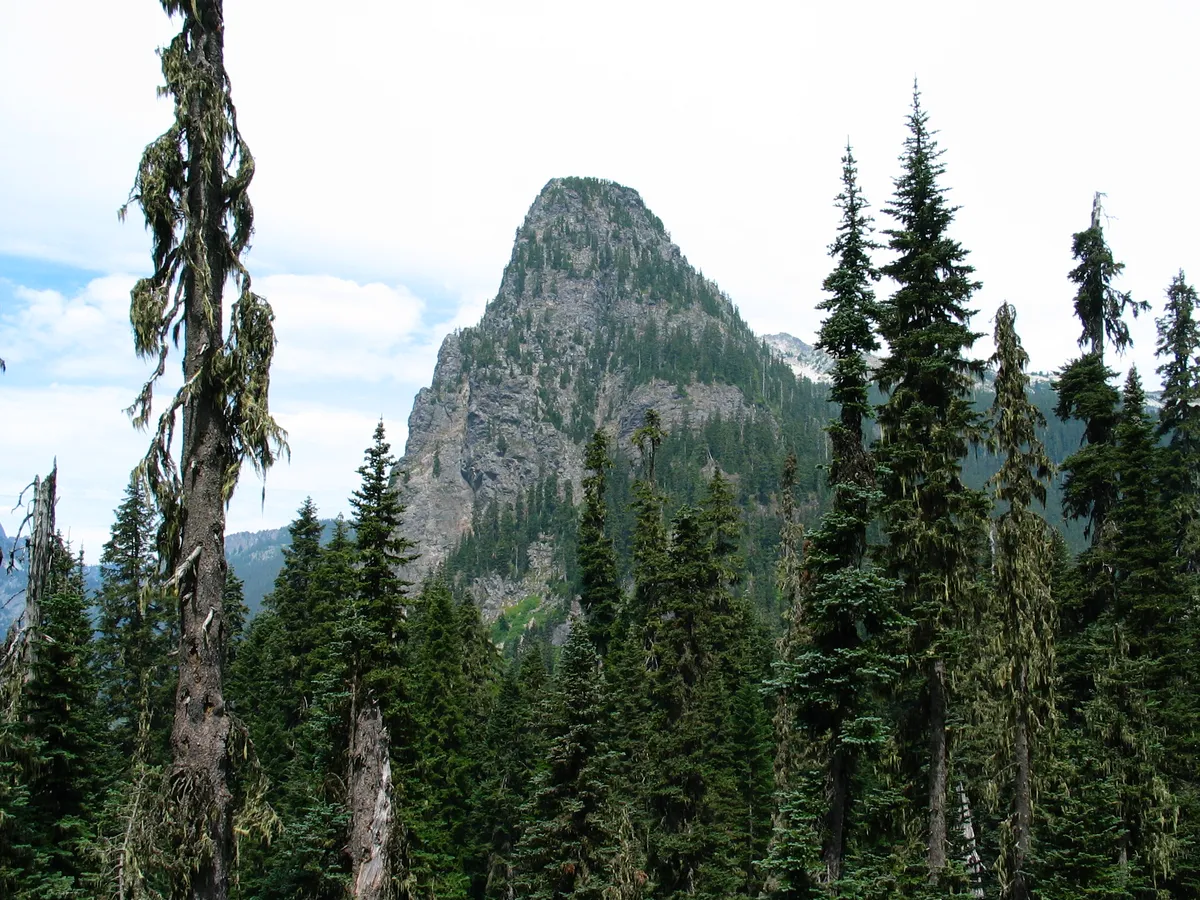
Trail Notes: For the first hour or so this trail is quite easy gaining maybe 750 feet of elevation. The grade of the trail is easy enough to not be terribly difficult for anyone, which is probably why this is a very well traveled path. Don't think you are going to have any solitude for the first little bit!. The first hour or so that you hike up the trail you travel on the Pacific Crest Trail traveling up the Commonwealth basin. For the last half of the hour or so it takes to get to the Commonwealth basin Kendall Katwalk spur you get excellent views of Guye Peak and the Commonwealth Valley itself which is quite picturesque. Along the way there are also several small streams one crosses and one relativly large waterfall. The waterfall is without name as far as I know but drains the South side of Red Mountain. The trail itself runs under the waterfall esentially. During the dry part of the year one probably won't get hardly wet at all, but during the melt expect some water to be a falling. It actually is pretty welcome especially on this warm day.
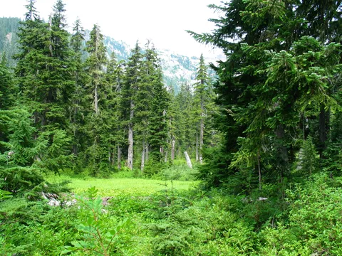
After about an hour you come to a fork in the trail with one fork going towards Commonwealth Basin and the other the PCT headed up to Kendall Katwalk. Take the Commonwealth fork. The trail gradually loses some elevation going down into Commonwelth basin proper. The lose isn't significant the open meadows dotting commonwealth basin make it well worth it. Once down into the basin proper the trail travels along very flat for about 20-30 minutes. Do stick with the main trail rather than taking the hairpin turn onto the old abandoned trail leading down the valley. However, if you have anything less than a full tank of gas it might be worth consideration as the remaining part of this hike gets difficult.
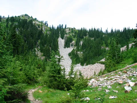
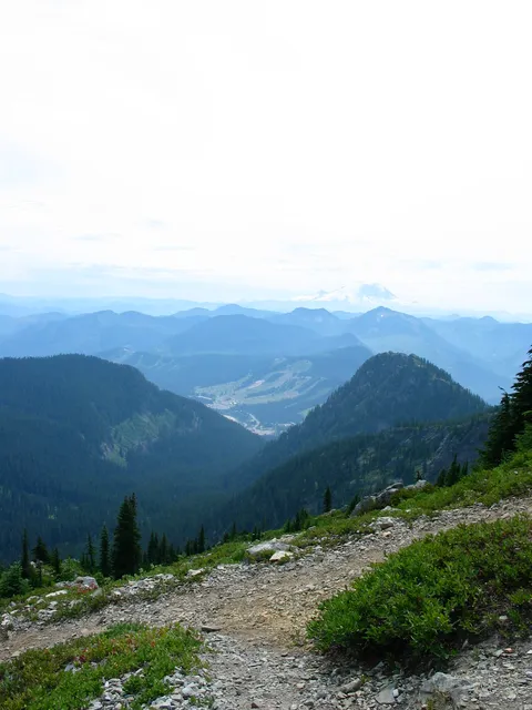
On this day I am happy to keep moving after realizing that the melt hasn't been over sufficiently long enough to dry up the water that Black Fly's, mosquitoes, and Horseflies seem to love. After crossing Commonwealth basin the trail takes on a more aggressive nature as it climbs the spur of Red Mountain. During this time there are many short switchbacks offering views back down into Commonwealth Basin. The views were enjoyable, but I knew I only had about half a minute until the bugs found me and I would need to move on. I should clarify that the bugs here aren't worse than anywhere else it is really a matter of available water. In a month there would be none. It all has to do with the available water.
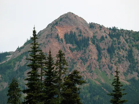
After what seems like quite a while but is actually only about 45-60 minutes you get to a cirque below Red pass. At this point I noticed I was no longer being harassed by insects :-). This makes for a nice resting spot, though as Cirque lakes go this is nothing special. Also I believe this is the common spot for those who wish to climb Red Mountain itself to leave the trail and head directly for it's face. I wasn't so I didn't.
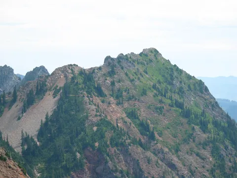
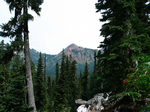
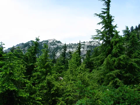
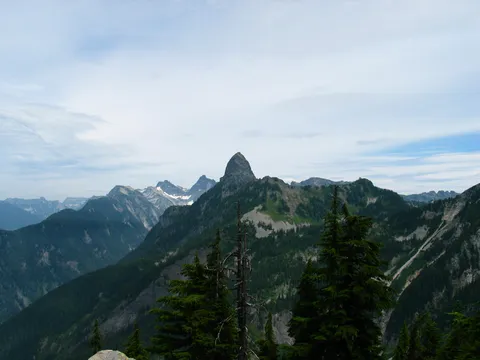
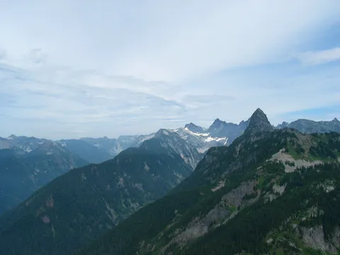
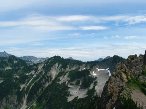
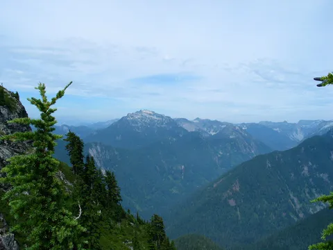
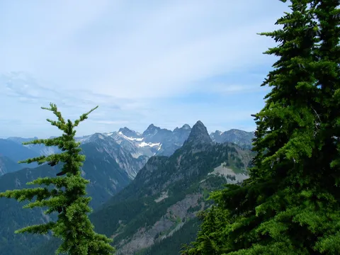
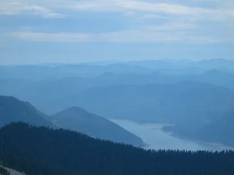
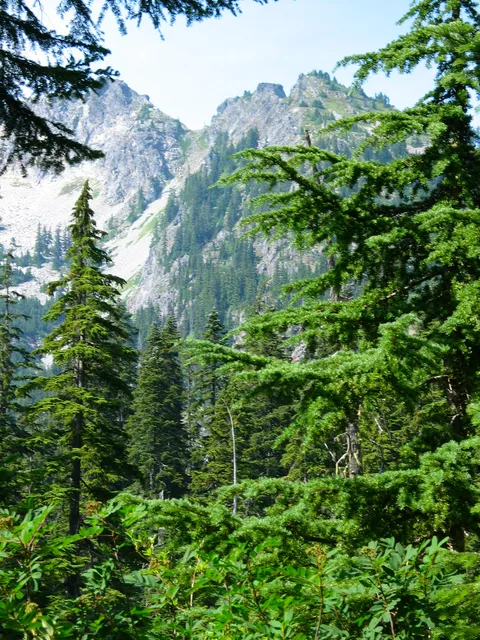
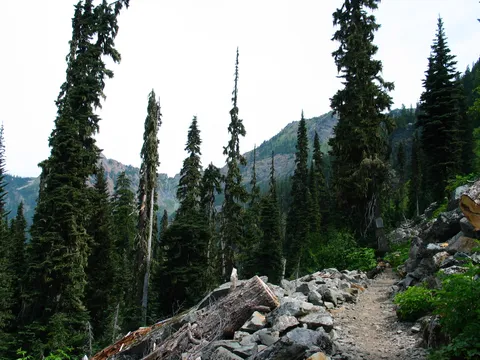
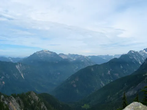
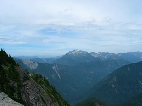
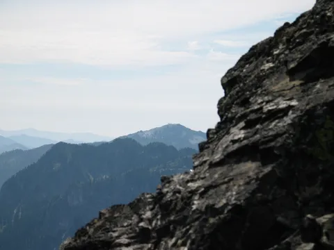
Instead I headed up the trail towards red pass. From here things are clearly alpine as the trees shrink noticeably and thin out. The trail itself is not much friendlier than the climb up the spur to the cirque lake, though it somewhat better. The trail is mostly made up of talus and takes a couple switch backs through some treed areas en route to the ridge. After about 30-40 minutes you gain the ridge and are rewarded with views to the North East and the unbroken wilderness. Very worthwhile!
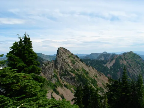
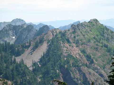
Traveling along the ridge is not very difficult and eventually leads to some very nice resting spots with views. Shortly thereafter there is a noticeable trail down the North East slope which apparently was the Cascade Crest trail which descends to the Middle Fork of the Snoqualmie River. It also appears this is the way one would go if the destination was Lundin Peak (though climbing gear is definitely required for that). Shortly thereafter a "Trail Abandoned" sign presents itself though the path beyond it is commensurate with what is behind it.
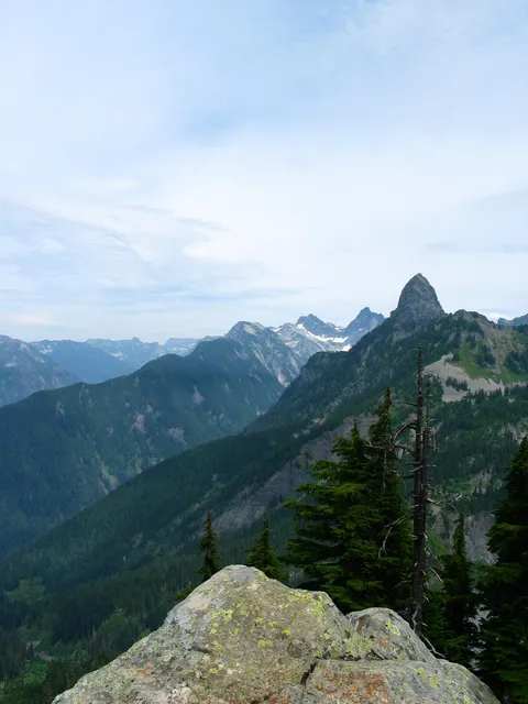
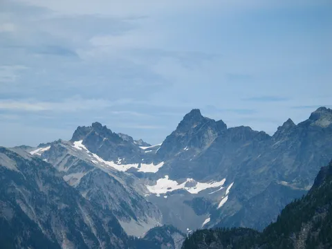
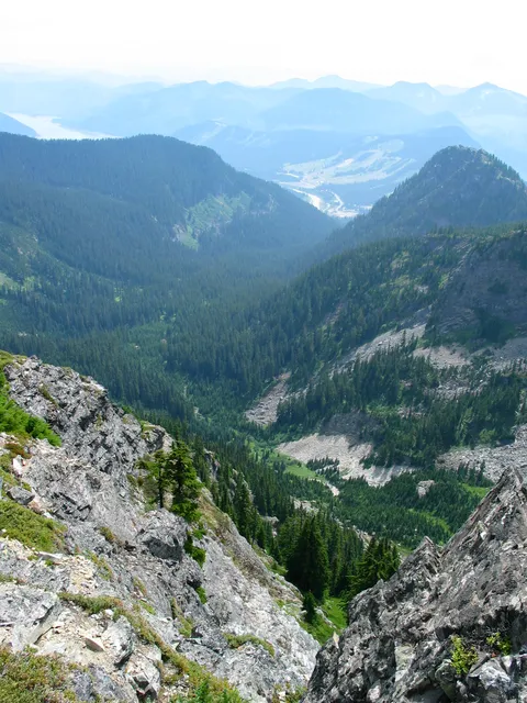
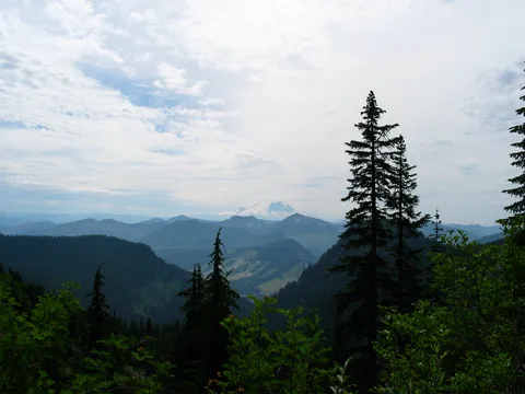
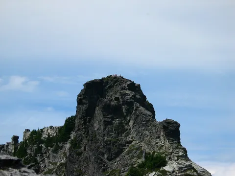
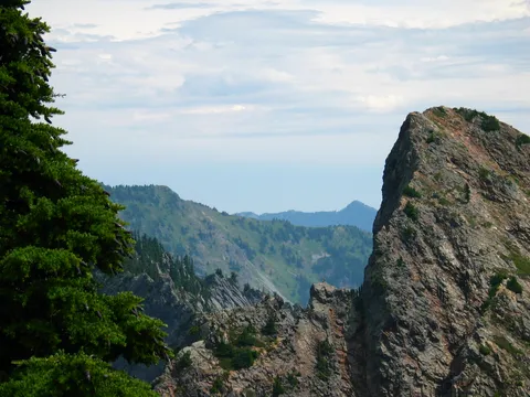
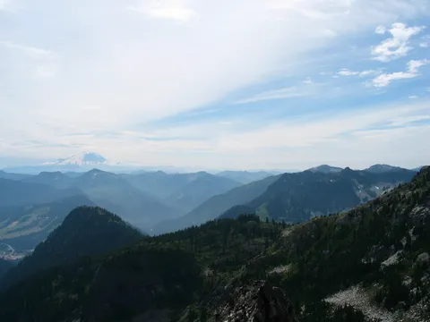
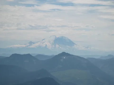
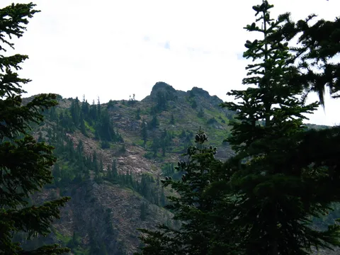
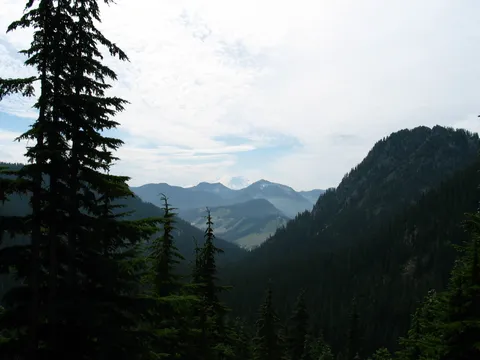
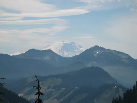
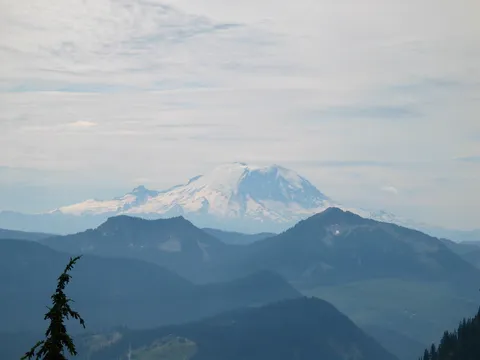
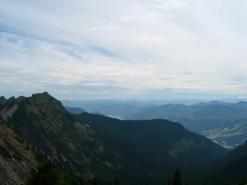
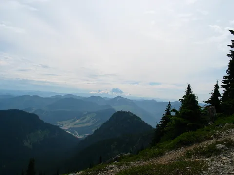
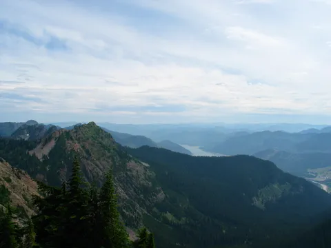
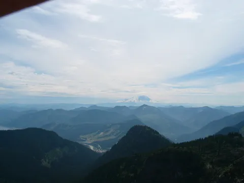
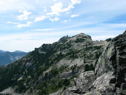
As you move past the sign the trail gets progressively steeper but one doesn't mind as the top is within view. After about 20 minutes you get to the top proper and are rewarded with a nice perch to eat lunch etc which enjoying the views down into Commonwealth basin, over towards Snoqualmie Pass, and if you climb the boulder to the North the NE cascades as well.
A worthwhile hike though, it is quite a tiring one. If you don't think you have the gas to make it to the top I would probably be inclined to enjoy Commonwealth Basin proper as the lead up to the top doesn't offer much in the way of a payoff.
Photos 55
Highest rated first