
Trail notes: Old maps show a "Lake Dorothy Highway," a shortcut from Seattle to Stevens Pass via the Taylor River, Snoqualmie Lake, and Miller River. After World War II major steps were taken toward implementing the plan; roads were built up the Miller to within 2 miles of Lake Dorothy and up the Taylor to within 2 miles of Snoqualmie Lake. One would suppose that the establishment of the Alpine Lakes Wilderness would have put the quietus to the highwaymens pipe dream, but as late as 1999 public officials were speaking of it as a plan still afloat. (Note the sign at the split in the Middle Fork Road pointing to Lake Dorothy!)
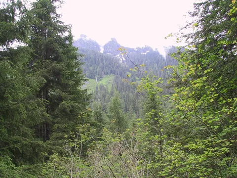
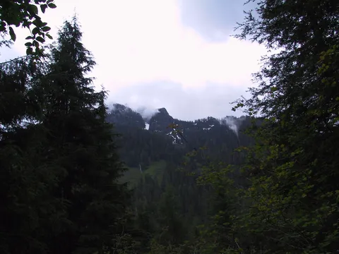
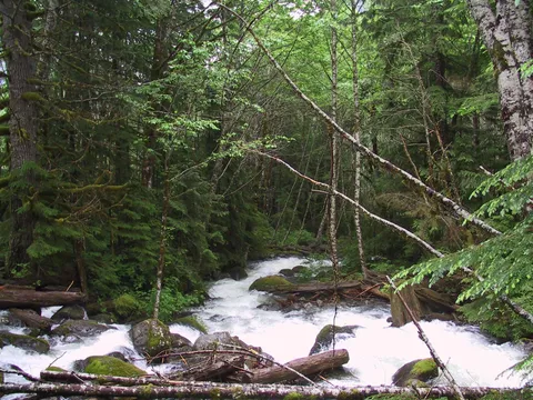
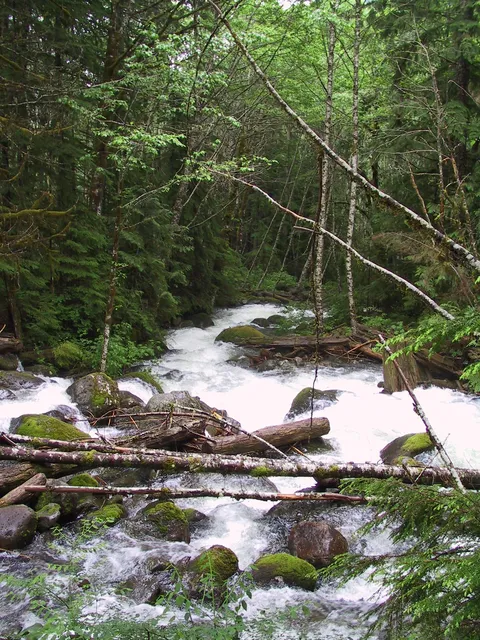
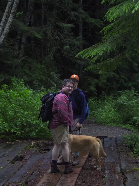
We do not think so. The loggers having long since gone away, their Taylor River road is mellowing into a delightful foot trail through green shadows of new forest. The river tumbles close below. Peaks of Garfield soar sharply high. The varied thrush trills, the winter wren twitters. The forest floor is carpeted with deer fern, elkhorn moss, teaberry, and bunchberry. Massive granite blocks invite scrambling.
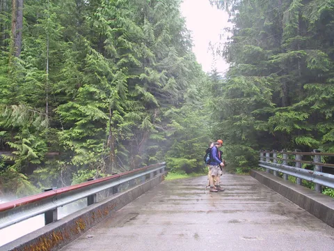
Drive the Middle Fork Road to the Taylor River (Hike 16, Middle Fork Snoqualmie River: Downstream from Gateway Bridge to Rainy Creek Pool). Cross the Taylor bridge and turn left 0.4 mile to the gate at the second bridge, elevation 1100 feet.
Walk the Taylor River road-trail1f3 mile to a Y. Where Quartz Creek goes left, go right. The tributary creeks are the stars of the show, which is why the trip is best taken from late April to early June when the creeks are flushing winter down to the sea.
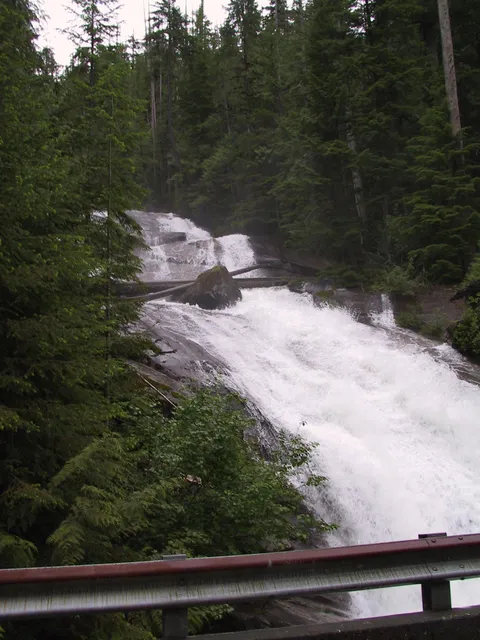
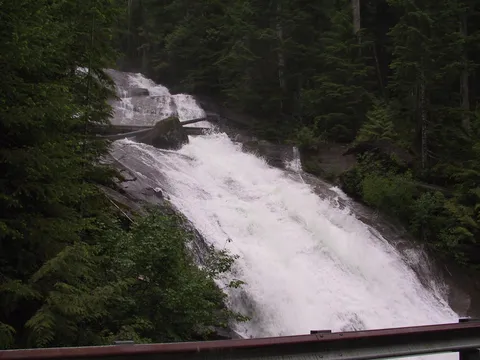
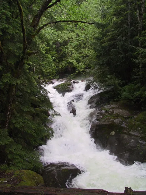
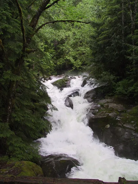
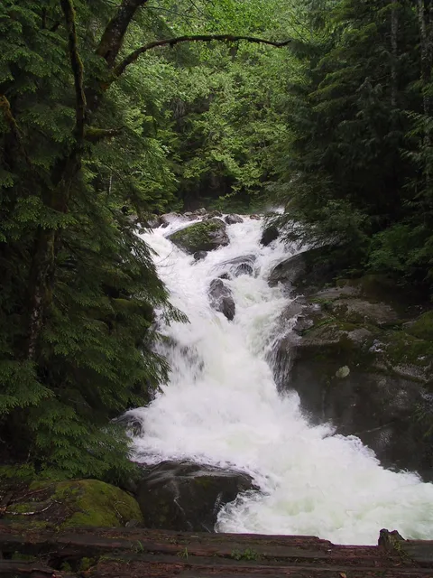
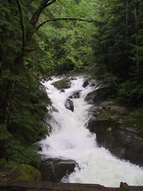
At 3 miles is the first of the big waters, Marten Creek, the falls churning a pool of limeade. A mean little old trail 100 feet short of the plank bridge climbs to awesome ancient cedars, some more than 12 feet in diameter.
Beyond Marten, several loud creeks tumble through culverts. There is also a rockslide that must be carefully crossed, and jackstraw jumbles of avalanched logs where passage has been made possible by a lot of chainsawing. At 1114 miles from Marten is Otter Creek, flowing through a particularly large culvert. Several hundred feet beyond, find a distinct though unsigned trail. Thats the way to go. Ira and Pat started up too soon and left bits of torn shirts and pants and quantities of blood in a thicket of slide alder. As for me, I never did find the trail, which climbs 100 feet and drops to Lipsy Lake.
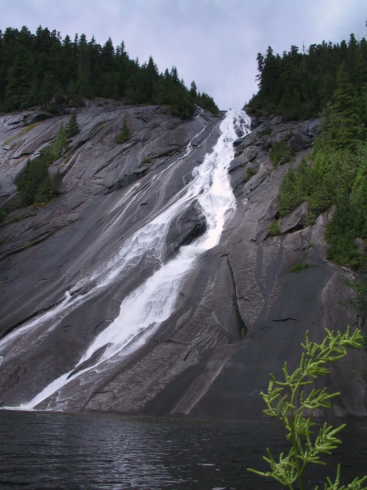
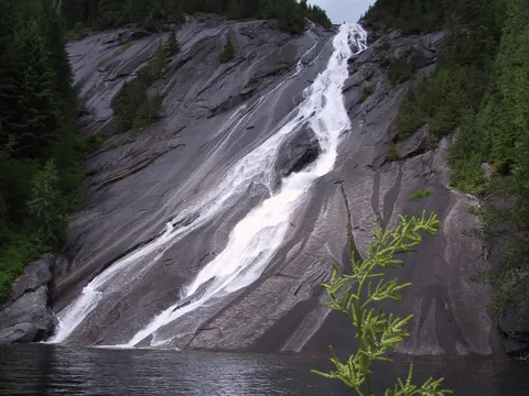
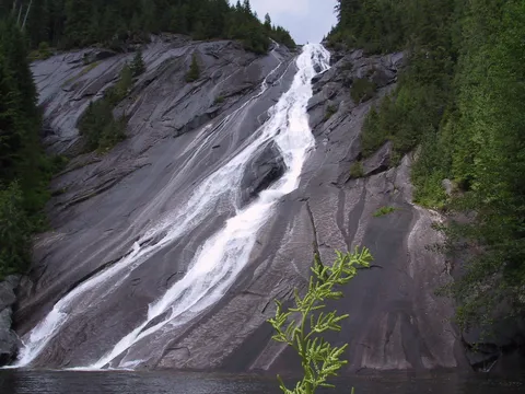
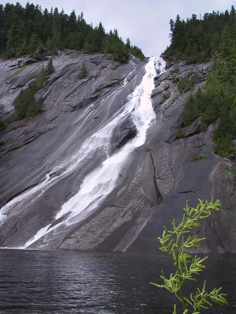
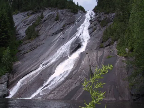
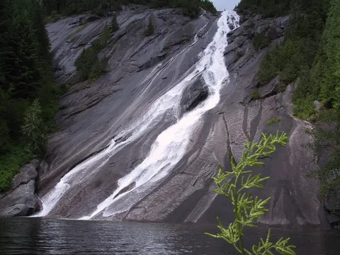
Lipsy Lake! Whats that all about? Whatever; Ira shot a ton of film of the gem of a pool below a SOO-foot granite slab down which Otter Creek plunges in one waterfall after another.
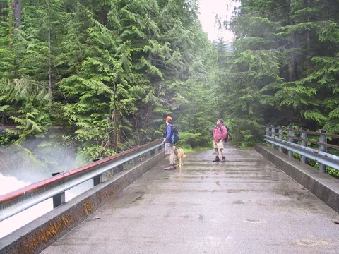
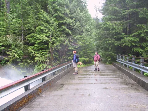
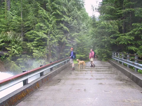
Beyond Otter Creek 314 mile is Big Creek, 1700 feet, crossed by a massive concrete bridge. (Why here? For that shortcut highway?) Snow-water sheets down smooth granite, by far the finest otter slide of all. I lingered long at lunch, waiting, but they never showed up.
For a person wanting more exercise, Snoqualmie Lake is a couple of long, steep miles away at 3147 feet in the Alpine Lakes Wilderness. Its a lake, so you know there will not be solitude
Photos 21
Highest rated first
d
waterfall
tall stream
carl kent
f
bridge1
g