

Directions: From Seattle, drive east on I-90 to Exit 34. Turn left onto 468th Avenue North and drive .6 mile to Middle Fork Road. Turn right and drive 3 miles to Forest Service Road 56. Turn left and drive 11 miles to Middle Fork Snoqualmie Trailhead.
Trail Notes: So we started off today keen to avoid the Memorial Day crowds and avoid traveling on snow. So having done a little research I was thinking Stegasorous Butte would be the way to go. Alas, when we reached the trailhead I was a bit confused about exactly how to get to the trail itself.
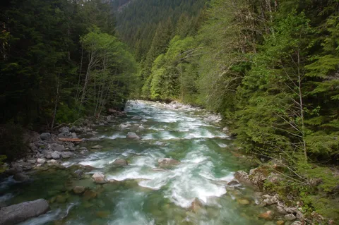
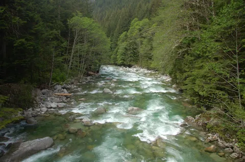
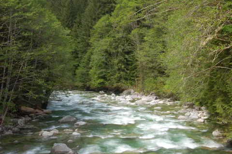
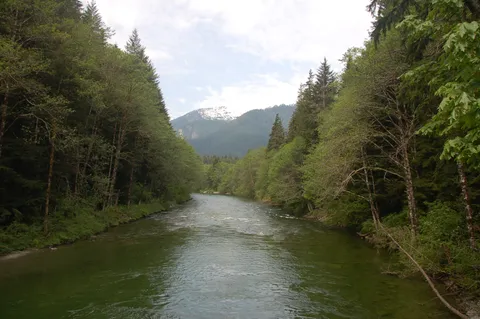
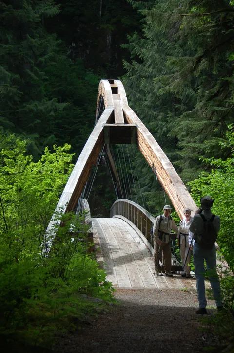
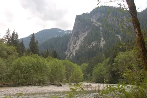
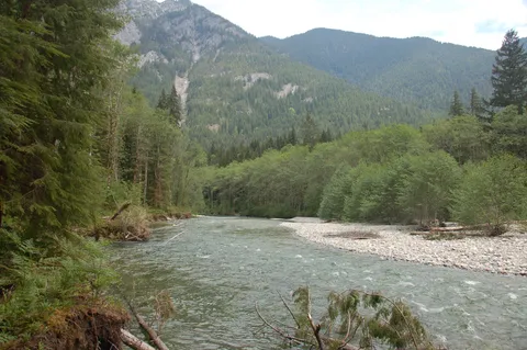
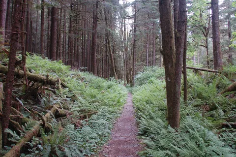
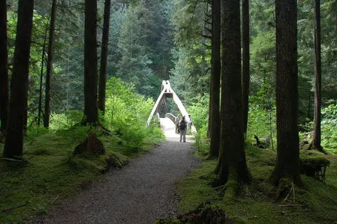
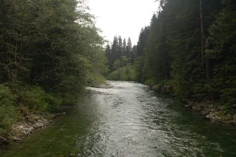
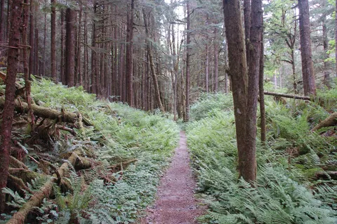
Instead we decided implicitly to travel up the Middle Fork of the Snoqualmie River. The hike starts off by crossing the Middle Fork of the Snoqualmie on Gateway bridge. Once across the river the trail parralells the river upstream for about 5 miles. The first thing you will notice this year is just how many trees have blown over since last year. There must be 20-30 trees which have fallen along the trail as well as several areas where the trail has been washed away by the river. Traversing these obstacles isn't bad and boot have done most the working to you through.
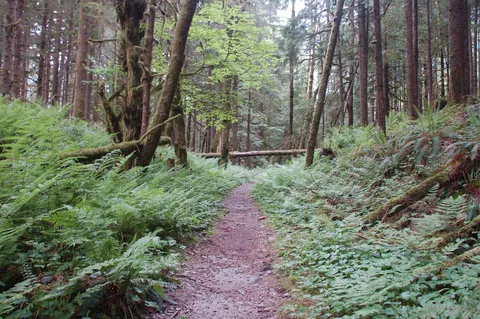
The trail itself is pretty level and undulates a bit here an there. The environment feels almost rain forestish as you make your way up the trail. Surprising there weren't any bugs to speak of on this hike. Really quite amazing given the humid demeanor of the hike. So things were good.
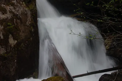
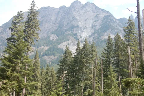
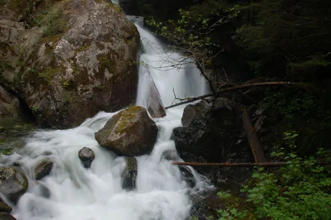
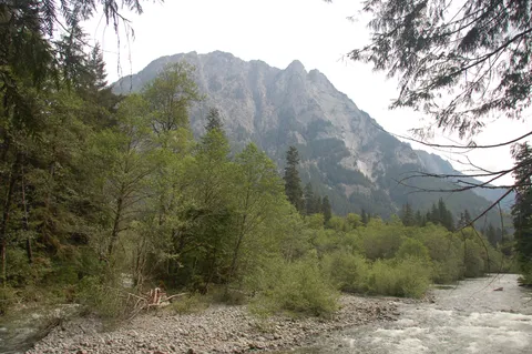
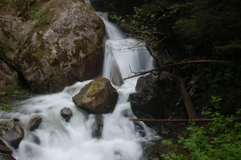
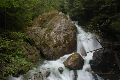
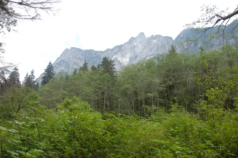
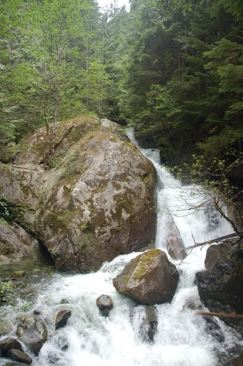
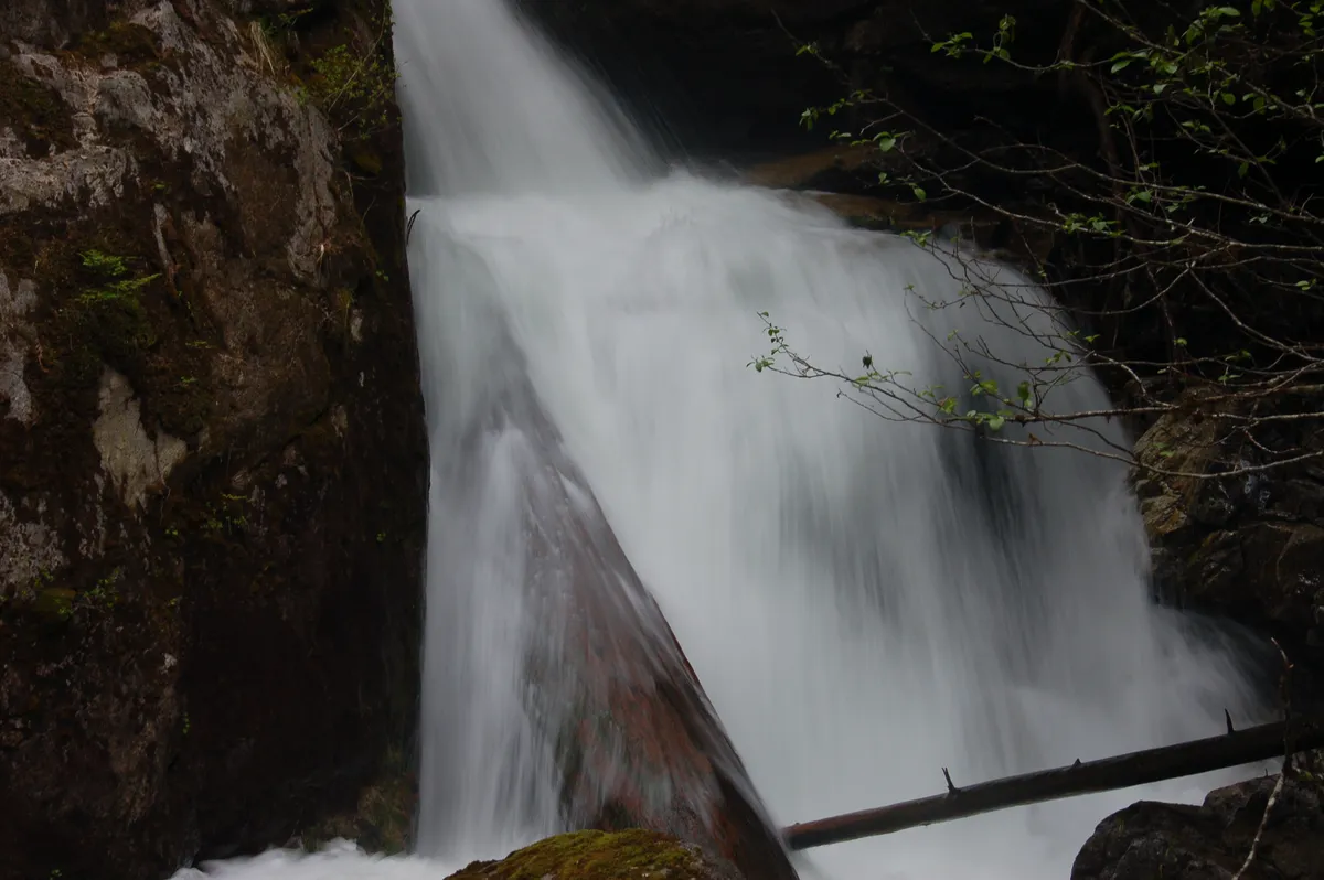
There isn't much to say about the trail itself other than you will get many chance to be close the river with occasional views of Mt. Garfield. across the way. At about 1.5 hours you will come to a large creek which I mistaken thought was Dingford creek. The waterfall was very nice, and the cooling it emparted was wecome.
About a half hour beyond this you come to a fork in the trail. One fork leads up to Snow lake via Wildcat and Gem lake. The other fork leads across the MIddle Fork of the Snoqualmie River. We went across the river and had lunch figuring this was a nice turn around.
On balance I think this is a really pretty cool hike, and is one which can be done almost year round. Also, there are options to extend your trip up towards Snow lake in a circuit and Patty Go Easy Pass. Something I will have to check into later in the season. A very nice hike and a particular winner if you are going with a full pack as the going isn't too difficult and the scenery pretty darn relaxing.
Photos 21
Highest rated first