*Directions: Hamma Hamma River Rd. is located 24 miles south of Quilcene, or 14 miles north of Hoodsport on Hwy 101. Trailhead is located at end of road approx. 13 miles*
Trail Notes: This trail is listed as unmaintaned. That is NOT an understatement!**
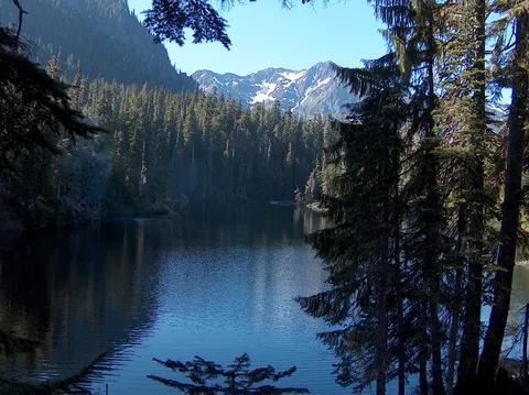
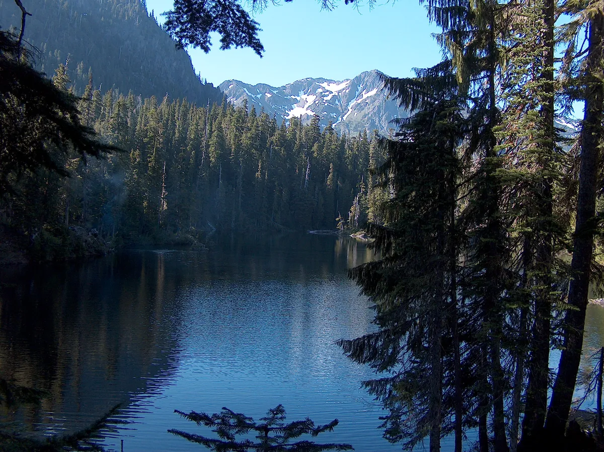
We chose this hike because we wanted to get away to some place that would not be crowded on a beautiful 4th of July weekend. Boy did we choose right. The trail takes you to a beautiful alpine bowl in the Sawtooth Range of the Olympic Mts. where we encountered a mere 8 other hikers ( 4 of them from a distance across the lake) even though it was a holiday weekend with clear blue sky forcast and temps in the high 70's. The only downside was getting there.
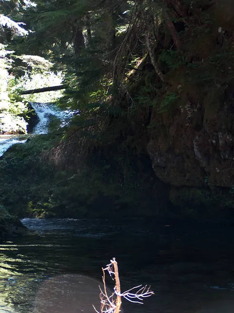
The warnings of this being an unmaintaned way trail seemed undeserved in the first mile and a quarter. Yes it was rugged and little effort was wasted on anything as civilized as a switchback. The trail just made a more or less direct route up the ridge. Relatively steep, but nothing to be concerned about. After gaining the first ridge, the trail descends into a valley and crosses a rather large creek. The trail down to the creek gives you the first hint of what is to come as it steepens and becomes more of a climb than a walk. This point, a little less than 2.5 miles in, could be considered a nice turn around spot for less hearty hikers. Not knowing what was to come, we paused only for a moment to view the falls and take a few swigs of water, eager to get on to the lakes. But this would make for a great lunch spot and there are even several campsites. The creek here is wide and shallow, running through a large clearing and gravel bars with a couple of small waterfalls to explore. It is spanned by a few logs for easy crossing, but is also shallow enough in places to quickly splash through in your boots.
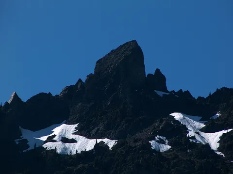
From here on the true nature of this trail takes over and it steepens into a boulder and tree root scramble. Very reminiscent of the old Lake Serene trail before it was re-directed, following tree roots and boulders steeply up the next ridge with a purpose. In the next mile and a half you gain about 1600 feet of elevation, much of which you gave up on the descent down to the creek. Up, up and up it went with rarely more than a wide spot for to take a much needed breather. Views are sparce between the trees, but what you can see of snowfields and rugged basalt ridges urges you on to reach the top of the ridge that you are working so hard to obtain. When the trail mercifully tops out you are treated to a spectacular view of the skyline of the Sawtooth Range rimming the cirque that holds the still unseen lakes. The view to the north of The Castle Spires, The Needle , Mt. Cruiser and Alpha, seemed very out of character for the Olympic Mts. A knife edge of spires, fins and pinnacles. A drastic contrast of black basalt between brilliant snowfields and a cloudless blue sky ( also out of character for the Olympics). To the south loomed the hulks of Mt. Stone and Mt. Pershing. Here we took a much needed break to rest our now noticeably out of shape thighs and lungs. It was at this point, seeing that we still had a considerable descent down to the lakes, followed by the repeating ridge gain and descent on the way back, there would be no easy coasting on this hike. It was also from this point that the trail becomes less and less a trail and more and more of a search for a trail. Often climbing up or down to the next scrap of surveyors tape or cairn to scan for the next. As we approached the first still unseen lake, the trail became more or less a bushwhack. We followed the contour of the first small lake hoping to find a route to the larger lake above. Although we had dropped back down to about 3200 feet, the lakes, tucked deep within the valley were still fully surrounded by snow right down to the shoreline. I am not sure whether this made the going easier or more difficult. We often thought that we had lost the trail and that there must be and easier way around the lake. When we finally reached the outlet stream of the upper lake (right at the spot where the trail ended on the map) with the realization that it was not our route finding that was poor, simply the trail. We lunched on an outcropping of boulders in the snow at the lake shore looking up at the Sawtooth Range, making plans to come back to attempt Mt. Cruiser but we would definitely approach from the longer, flatter Flapjack lakes trail. I could not imagine making this hike with overnight supplies and climbing gear. This had been work with little more than a daypack. I guess I am just getting old. Speaking of getting old, I would highly recommend bringing along a pair of trekking poles if you have them. I wish I had, they would have helped immensely on the numerous, steep down climbing sections.
All in all this was a very worthwhile hike and I would recommend it to anyone more interested in getting away from the crowds and willing to pay the price to do so. And although I am not a fisherman, the trout were very plentiful in the outlet streams of both lakes. I would say that it would be worth while to bring a pole along if that is an interest to you.**
Photos 3
Highest rated first