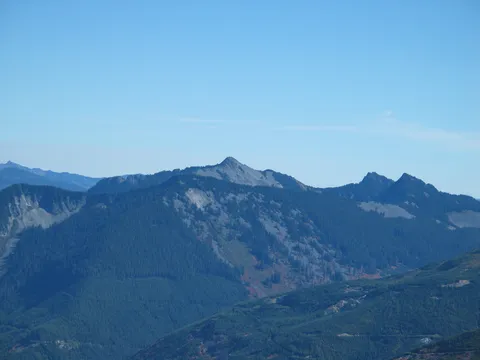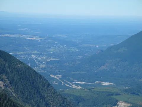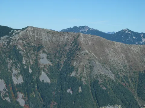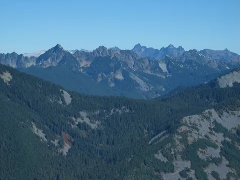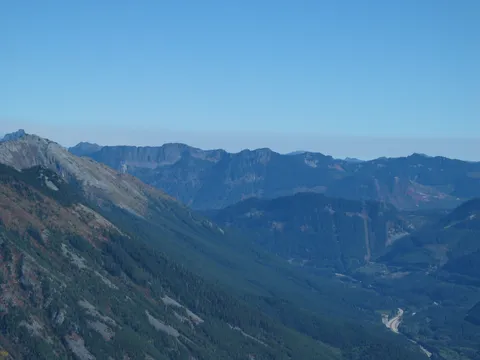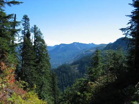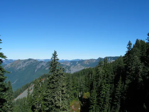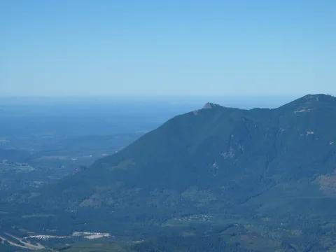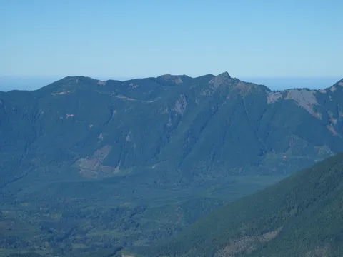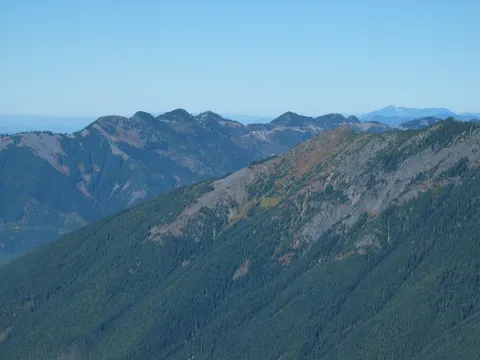

McClellan Butte

4.7 out of 5, (24) Mt. Baker National Forest-Snoqualmie, WA Strenuous 1 trip report · 89 photos
Round trip
9 mi
Elevation gain
3,700 ft
High point
5,200 ft
Difficulty
Strenuous
Season
Jul – Oct
Pass
None
Dogs
Allowed usually
Trip report

September 26, 2003

Strenuous 5 hours Verdict: Great
★★★★★ 4.7 out of 5 from 24 votes · log in to vote

Directions:From I-90 take Exit 42 (Tinkham Road) and turn right. Cross the South Fork Snoqualmie and follow the signs a short distance to the new trailhead, restroom and parking area, 0.2 miles off a spur road to the right.

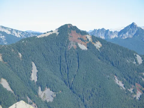
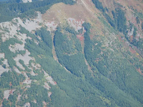
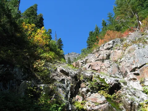
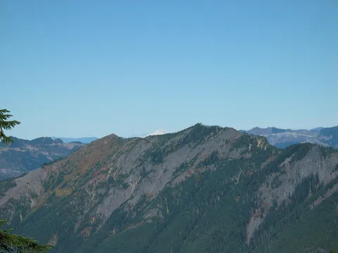
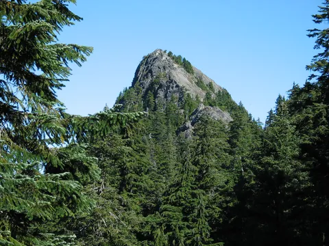
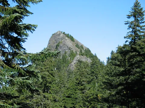
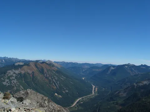
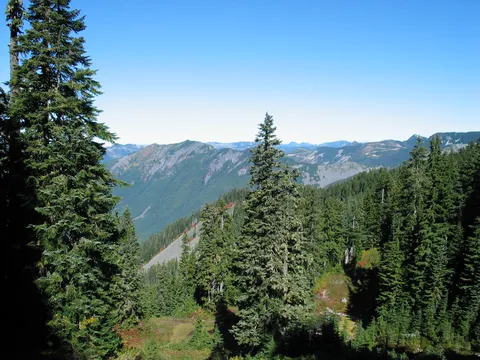
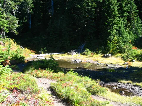
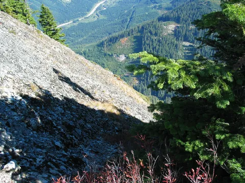
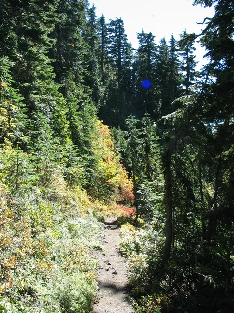
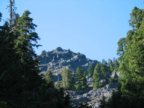
Trail Notes: A user has noted that McClellan Butte was named after a Civil War general who came out after the war and did surveys in the area and that McClellan Butte was also once the site of an airplane beacon.  The trail itself begins from the parking area and climbs a gentle quarter mile through the forest until it intersects the Iron Horse Trail. The trail turns west (right) and follows the Iron Horse Trail for a half mile, passes Alice Creek, and continues on as the McClellan Butte Trail, which begins to climb again through forest. The trail crosses a road at about 2,200 feet and begins a steep climb up the north face of the butte before rounding the east side of the butte. The trail sidehills below cliffs and reaches the south ridge of the peak at 4,500 feet. The trail follows the crest and goes around the east side of the mountain before dropping 100 feet to a small tarn (dry in September). Stay on the main path to the end of the trail, 100 feet from the summit.

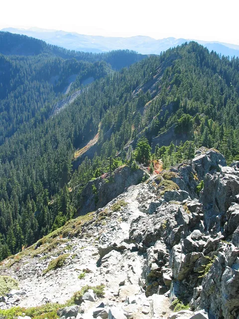
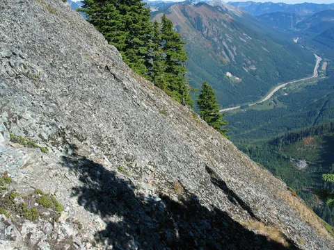
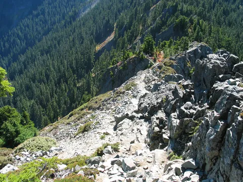
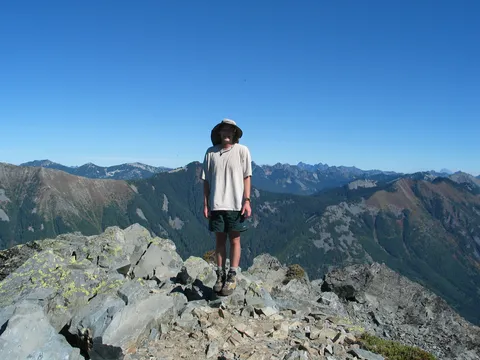
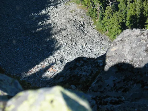
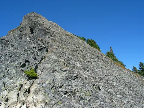
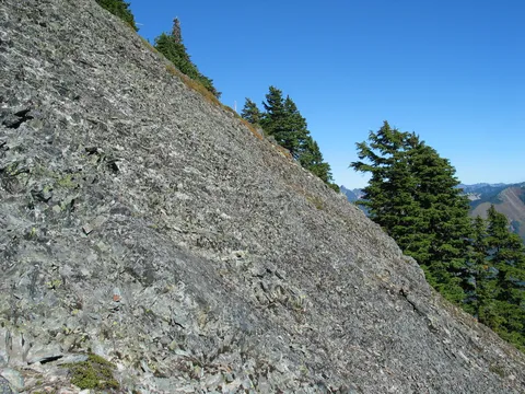
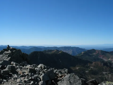
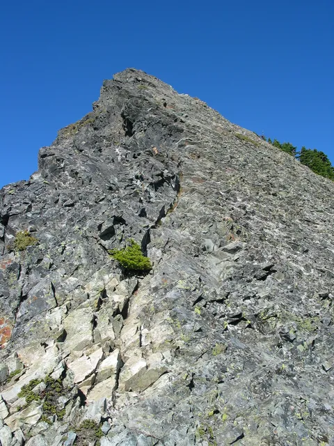
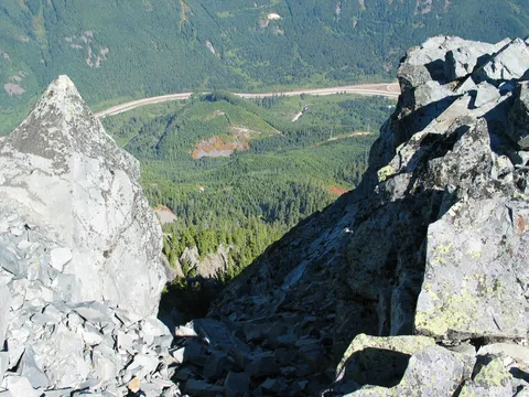
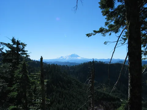
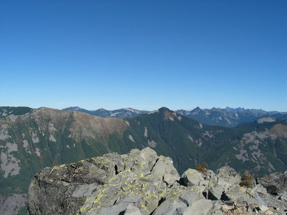
Many will tell you to stop at the 100 foot mark. This however would be to deny one a super cool view and to always have to wonder what the top looks like. I would advise doing this hike during the summer when dry. It is true that the last 100 feet are dangerous, no doubt about it. However, if you just use common sense and face the rock you will be fine. It does appear that at some time there was a cable which ran from the tarn to the top but has been since removed. Also it appears that at the top there was a weather station or some other scientific instruments at some point too. There is a very nice place to spend some time and take luch up on the butte too. I would be reluctant to do the last 100 feet if the rock was wet. You make the call, if you choose not to go to the top you can always enjoy the pictures on the site!

Photos 89

Highest rated first
Reviews 20

Winter Wonderland

★★★★★
Neil Voit · Apr 8, 2010 · Strenuous

Did this hike a few times before we finally got to the top. Definitely a VERY strenuous hike in the winter. Make sure that you have your snowshoes ready to ride...

After a couple of failed attempts to reach the top, we finally had the gear and the supplies to last the day and make it. Took us 7+ hours of snowshoeing to reach the base of the scramble. A very difficult feat in the winter. Unsurprisingly, our tracks from a few days prior were the only signs that life was ever up there. Our second attempt was the first clear day after a late winter storm at the end of March. Over 4 feet of fresh powder is challenging, so we had to turn back about 2/3 up the butte. Our third attempt came a few days later after only small snow falls, so our previous channels through the snow saved much time and energy. After the chutes we ran into very large and deep snow drifts, and we decided to switchback up the treelines the best we could to avoid the sliding snow in the chutes. Definitetly would have been a dangerous route on a warm sunny day with the steep slopes and sliding snow. We got to the scramble area, but couldn't make it up to the true summit... we were exhausted and couple that with the 70 degree slopes and deep snow covering some of the rock, it was time to turn back. I guess that the mountain was laughing at us so hard for not doing the scramble, that it rained the whole way down. Made it back to the car soaked and in just over 10 total hours of hiking. Great training run for our Rainier attempt later this summer!
Labor Day Drizzle

★★★★☆
Kammernator · Sep 8, 2009 · Moderate

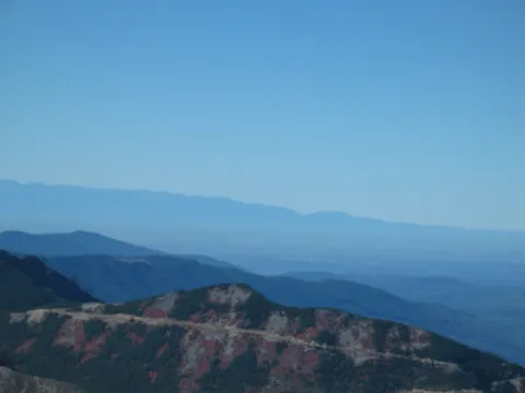
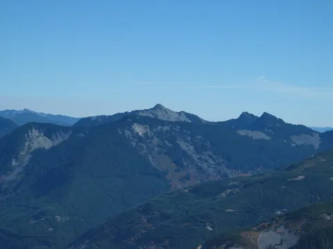
This hike took me by surprise.  I didn't think I would be crossing 3 forest roads or walking under buzzing power lines or hear car traffic and gun shots (from a firing range?) as I made the approach, but that is exactly what it was like at the beginning.  It was bit frustrating to hike miles with hardly any altitude gain and through tree cover but the top made it all worth it.  Even if I wouldn't have attempted the summit, I felt great being up there on that cloudy day - the mist was snaking and flowing throught the valleys and up cliff faces like running water and towards the west the sun was shooting sun beams through the cloud layers.

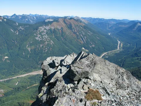
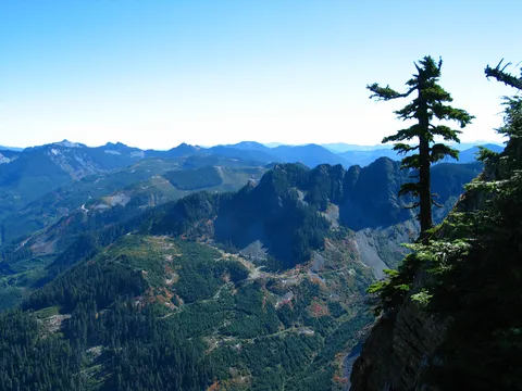
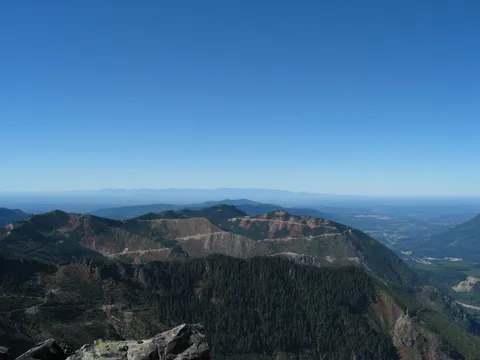
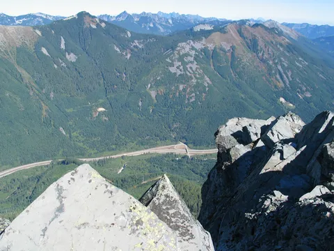
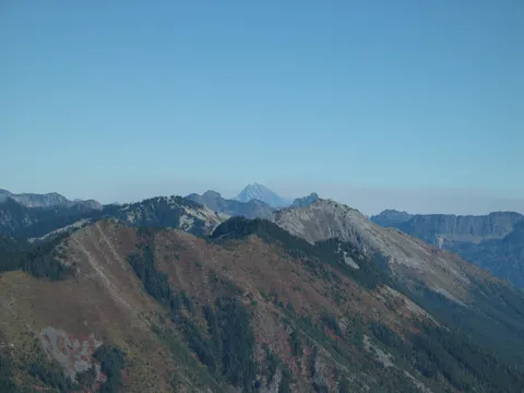
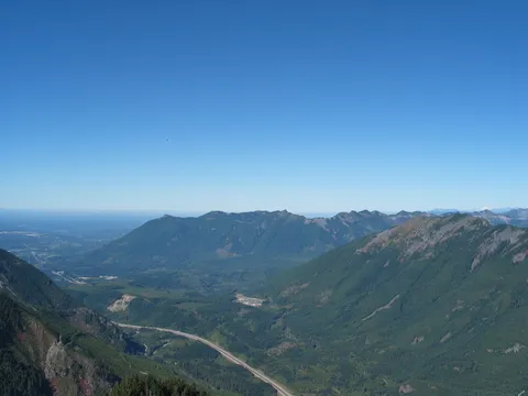
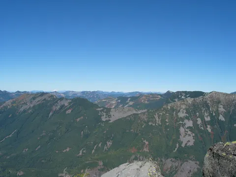
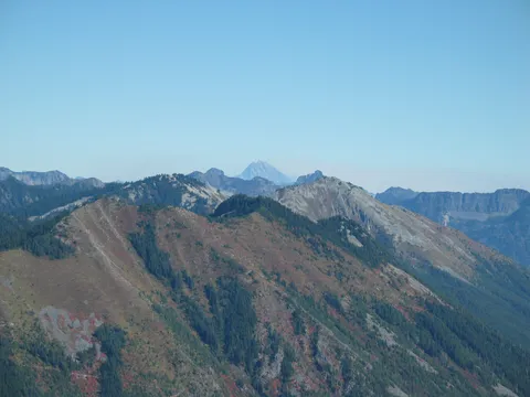
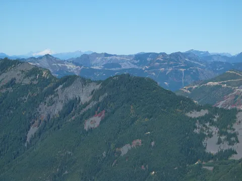
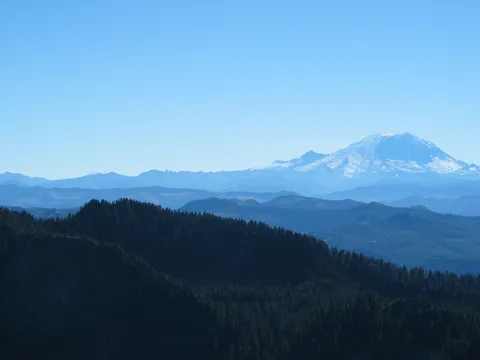
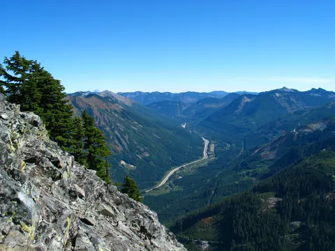
The summit is definitly worth the effort.  It can be intimidating but really.. its more like a 20 foot scramble and then onto a trail that would be very difficult to fall off or fall off and hurt yourself.  And sure the summit of the butte looks over I-90 to the north but just turn your head a bit and see what beautiful mountains are around us in the PNW.  It's a great contextual hike in that sense; it's easy to point out Bandera, Granit, Si, Mailbox, etc given a cloud break.

I recommend this hike for those who have an overcast day to work with - I wouldn't waste a sunny day on it.

RE: Car Theft

★★★★☆
Craig Mifflin · Oct 15, 2007 · Moderate

Kathy:  I'm sorry to hear your car was broken into.  I 'm the bald guy that was a little ahead of you.  It probably doesn't help, but when I got back to my truck around 12:45 everything looked fine and nobody was around that I noticed.  This kind of thing always makes me really angry.  I now wish I would have paid more attention to who was in the parking lot, but I didn't see anybody roaming around.   One thing I did notice that seemed a little strange was a grey Chevy S10 parked on the other side of the freeway bridge.  When I arrived I drove over there thinking that I might go up to Bandera from there, but I changed my mind.  When I left, the truck was still there and the guy was still sitting behind the wheel.  That was a long time to just sit there.  If you think more info on this guy would be of any help, give me a call:  206-694-6216.

McClellan Butte/Car Broken Into

★★★★☆
KathyD · Oct 15, 2007 · Strenuous

Did this hiki on Saturday, 10/13/07 and not having done a hike this strenous in a very long time, by the time we got to the top I wanted to pass out and sleep for a few hours.  The weather was fabulous and the scenery was gorgeous.  I didn't do the scramble as I'm quite a chicken when it comes to doing stuff like that, so I left that up to the guys to do.  We hit permafrost coming up the backside of McClellan Butte and lots and lots of mud.  The only major bummer was that when we got back to the trailhead, found out my car had been broken into and my purse had been stolen.  Several other cars were also broken into.  I've learned my lesson.  Never, ever leave valuables in the car.  Apparently trailheads are hit quite often by burglers.

Snow's gone

★★★★☆
The Angry Hiker · Aug 15, 2007 · Strenuous

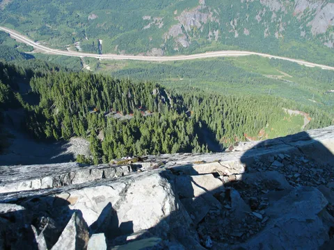
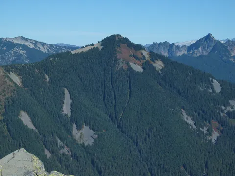
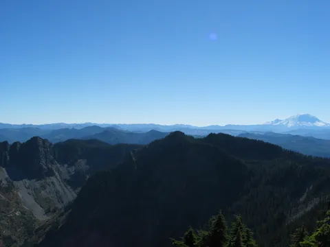
Went up in early July and there was still snow in the gullies, though melting fast and very unstable. I didn't have the  equipment to get across so I turned around. Went up again last weekend (8/11) and all the snow was gone. The trail has been greatly improved and the fallen trees have been cleared. Still, I think this hike was more strenuous than Mailbox because it's longer, and every time you think you're close to the top you probably have another mile to go.  Then when you get to the summit, the views are so-so. All you can really see is Mt. Kent on one side and Mt. Si on the other. Then again, I didn't go up the scramble - but unlike the reviewer I'm not going to risk death for a better view of I-90.  One wrong step on that crumbly rock and it's 600 feet straight down.

McClellan Butte

★★★☆☆
July 25, 2007 · Jul 26, 2007 · Moderate +

Have done the hike a number of times but last night saw something I have never seen on an I-90 hike - mountain goats! A mother and two youngsters were grazing several hundred feet above the last gully.  Didn't linger as I was directly in the path of any rockfall they might have dislodged but it was good to see that they have made the Butte their temporary home.  Hopefully they won't catch a bullett from one of the target shooters who were, once again, heard on my way down.  I noted that OR has adopeted the trial - maybe someone at OR can lodge a formal complaint about the gunfire.

work in progress?

★★☆☆☆
Dylan · Jul 22, 2007 · Strenuous

Based on the review prior to mine I am hoping that this trail is temporary.  Once you get into the open and can see the summit is where the trail gets particularly annoying.  You can see the summit and it's about 500 feet away but instead of heading towards it you turn away from it and head downhill on a roundabout way to the summit that is at least twice as long as it should be.  There are other parts of the hike that just feel roundabout as well.  I am curious to know how long the trail actually is now, it took me 2 hours to get to the top (for comparison, Bandera and Mt. Si took me about 1:20).  Also, the mosquitos are particularly bad here, be sure to bring your bug spray.

Invigorating with Peak finish!

★★★★★
Rich Willard · Jul 19, 2007 · Strenuous

July 17, 2007  Three of us in late 50's headed up at 2:45 pm for a training hike in prep for Mount Adams next month.  Arduous, very steady challenging trail, lower part through interesting old growth fir and cedar.  Trail under redevelopment especially near top 20%.  Four trees had fallen or were dynamited across trail, making for a low under pass, and pack removal for lowest.  Last vestiges of snow in one shady ravine.  Wildflowers just starting to come out as snow has recently receded near top.  Muddy portions of trail with wash out, needs trail work at Alpine fiord near top--hikers must yield elevation, then regain it in this section.  Forest service personnel were in process of marking the rerouting of the trail in this section to avoid the fragile and overrun sensitive area of the flattest section where water stands--with the aim to make the trail more direct without elevation loss to the summit.  With short stops to catch a breath, we arrived at summit rock in just under three hours.  Part of the reason the rest stops near the top were short is the deluge of insects, mosquitos were incessant and thick.  Bring repellent and long pants or shirt, even scarf to liner head under hat.  The rock part at summit is an exposed scramble that is very doable with good handholds and solid footing, but only if you are not intimidated by extreme exposure.  Only attempt if confident and somewhat agile, backclimbing down is recommended.  Once at top, the views are amazing, we were above the clouds and just missed rain by a half day.  We were all invigorated by the rush of adrenaline after being up top, then headed down with satisfaction to the trailhead, which we reached at 9 pm.  Total time round trip was 6 hours, 15 minutes.

After Work(out)

★★★★☆
Rob Sims · May 30, 2007 · Moderate +

Male, age 53, main outdoor interests are hiking, backpacking and fishing.  Reasonably good shape, can hike uphill all day without being out of breath but am overweight.  People ask me why I like to hike.  I say it is because I like to eat.

Pulled off I-90 at the Tinkham Rd exit with no idea I was going to hike this trail.  I had Sissy with me.  She is a trail wise lab/golden retriever companion and at about 4 yrs, in the prime of her life.  She and I have done a lot of extreme hiking and backpacking.

I saw the trail head and as it was only 4:30 with 4 hours of daylight still remaining, said, "why not"?  Wow.  Energizer bunny territory to say the least!  The first section of trail up to the Iron Horse trail crossing was a delightful stroll.  Just to the right of the junction, there were well laid campsites - though no water.  .4 miles on the Iron Horse and then off into the woods again on a meandering, Alice Creek paralleling, rocky, root bound and steep (not quite vertical) trail.  What a great conditioning trail.  Plenty of water first half of the trail but sketchy thereafter.
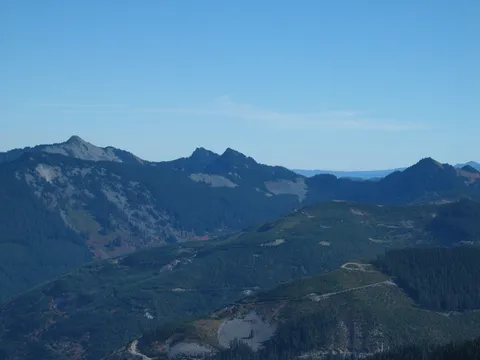
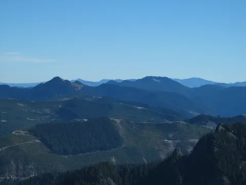
Two gravel road crossings.  Lots of target shooting and one huge explosion... like someone playing with dynomite.  Enough to make me put distance between myself and the shooters as quickly as possible.  (also enough to make me cell call 911 - the explosion was too much and with today's environment, just not smart at all).

On to the top, read other's descriptions, nothing to add.

Ran all the way down.  Fun trail to run.  Got down in just under one hour.  It was 7:45 when we drove away. This trail is about an hour from my home in Cle Elum.  Would do it again just for the conditioning aspect but there are so many others close to home that I don't know when.  Did not do the last 100 ft.  Worried about time constraints - dinner was waiting.

Happy hiking.  See ya on the trail if you're not too frail.  Say hi to the guy with the friendly yellow/orange dog.  She'll take your petting  and ask questions later.

Butte

★★★★☆
Dave · Aug 19, 2006 · Moderate +

Haystack was definetly a harder scramble.  Butte's scramble although deadly was relatively easy and less steep.  The hike was awesome and the views from the top were amazing.

The Dragons hike McLellan

★★★★☆
SDAF · Oct 23, 2005 · Moderate +

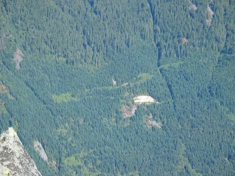
We hit the trail at 8:30.  The weather was looking nice, in the 60s F and partly sunny.   The trail is well taken care of, mostly soft  surface, with occasional roots and rocks.  There is one fallen stag that has blocked that path.  It is easily passed with a little hoist .   We made it to the top in 120 minutes.  The last  hundred or less feet to the top is a scramble along a 45-50 degree slope.  It is not too scary, but worth taking your time with.  The view at the very top is rewarding; we were lucky that on this rainy day in Seattle we had a clear view.  There was no snow, but there probably will have been had we hiked a week or two later.   This is probably one of the most difficult hikes in the area, save maybe Mailbox Peak.  Be ready for some exertion.  There were also reports about bears, and goats near the top of the mountain.

We saw a hunter on the way up as we were heading down, so be weary of this danger.  He said that hikers are required to wear 'hunter orange' during hunting season.  I don't know this information first hand though.
McClellan Butte

★★★★☆
Jim · Aug 31, 2005 · Strenuous

The oldgrowth on this hike was a pleasant surprise. Lots of hiking in the dim woods. I will do this again after they repair the trail. They have the trail all surveyed for repair. Way to many roots and rocks in the trail right now for me. I enjoyed the hike, but cloudy at the top and wet, so didn't do the scramble.

Worth the climb

★★★★☆
tahlkee · Jul 26, 2005 · Moderate +

My wife and I dragged my younger brother up the McClellum Butte on Saturday. We enjoyed ourselves, cant say much for my brother though. He was in extreme pain and exhausted. This is not the trail to start hiking on. The bugs were out in full force and have a few bites to show for it. As long as you kept moving it wasnt too bad. The view from the top is worth the scramble even though my wife kept asking me if my life insurance was up to date. Coming down was the worse descent I have ever experienced. It seemed to go on forever and my knees are still sore. Trail was in good condition other then the one tree that decided to fall across the trail. Not too busy and only passed a few folks.

watch for bugs!

★★★★☆
law_girl · Jul 26, 2005 · Moderate +

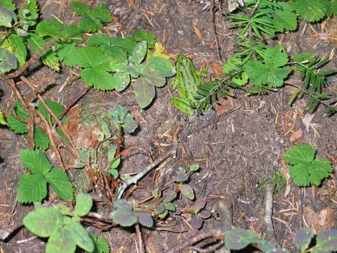
Did this hike on Saturday, and woke up with about two dozen mosquito bites on Sunday. We were swatting at them for about a third of the climb. Still, it was a nice hike. The elevation dip just before the summit threw me at first, but it's a pretty area. The swamp had a bunch of tadpoles just turning into frogs. Not too many people on the trail, which was in good shape, except for a decomposing tree that fell over the trail, blocking a section of switchback. I was carrying a 40 pound pack, so scrambling over it wasn't a good option, but there's a makeshift trail that cuts up the hill to the next switchback. If it's still there, be careful, as it's more slippery than it looks. fun climb. Bring bug repellant.
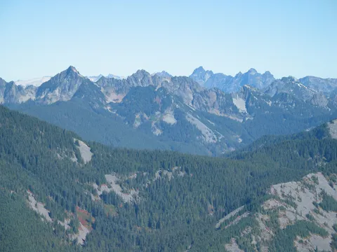
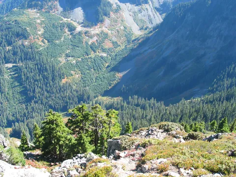
Great workout and beutiful views

★★★★★
Lulu Garcia · Jul 5, 2005 · Strenuous

It is definitely a strenuous hike, when you think is almost over there is another switchback or climb that your have to go through. The summit is pretty cool, although this last climb is kind of spooky; the views from the top are priceless.

The view from the top.

★★★★☆
Bob · May 27, 2005 · Moderate +

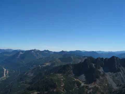
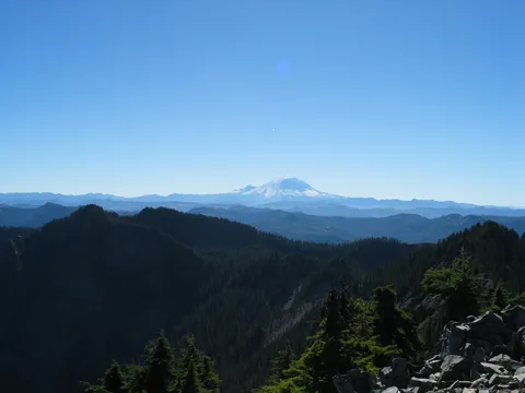
The view at the top was one of the best. It looks like you are on one of the tallest peaks around. The weather helped as well. There was not a cloud in the sky and the air was crystal clear. I debated climbing the rock scramble to the summit at the very end. It is not vertical by any means, the rock is solid and there are plenty of handholds. However, if you fall off of this, you will die (300+ foot roll and drop). I was almost to the top and a raven drifted in on a warm air current and landed on a small tree above. I'm not superstitious, but it did make me pause. Getting to the top was worth the risk and, really, it was a thrill. If you are surefooted, not acrophobic and it is not raining I would encourage going all the way to the top.

McClelland Butte

★★★★☆
shinobi · May 14, 2005 · Moderate +

What a fantastically steep hike... There is no let up until very near the top, then a 100' stretch thats pretty steep... It was foggy the day I went, so we had no view at all, but it was really peacefully quite through all the mist... The scramble to the top is not bad at all... There was a lot of snow on the last bit and a couple of interesting snow bridges... Overall an interesting hike, but knee jarring on the way down... It took us longer to come down than go up!!!

McClellan Butte

★★★★☆
akunlisted · Dec 23, 2004 · Moderate +

Tried the trail for the first time on Wednesday and had a great time. The weather began to clear just as I made the summit and things definitely warmed up as I descended. The trail is still good because the few inches of new snow lay on a hard, frozen base that kept me from sinking in. I met a few people on the way down and I wonder if that base held during the warmer afternoon. I would recommend that you plan to make the top by eleven at the latest to ensure that you have a nice trail the whole way. We're supposed to get a bigger dump of snow in the next few days so I would keep that in mind if you're planning a trip. By the way, if anyone has done the North Couloir route I would love to hear about it. I'm planning to go next week and if we have enough snow, try to ski it.

McClellan Butte

★★★★☆
Cuatthetop · Aug 1, 2004 · Moderate +

Good hike, not very scenic until you get about 15 minutes from the top. Scramble provides great views, and a reprieve from seeing lots of other people. I was there two weeks ago and was the only one on top. How Little Si and Mt. Si are rated as high as this one, I'll never know. It's a solid 4 as hikes along I-90 go.

Log in or sign up to write a review.