

Directions: Drive US 2 east from Everett to milepost 27.9 in Gold Bar. Turn left (north) at the Wallace Falls State Park sign. From there it's 1.7 miles to the trailhead.
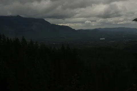
Trail Notes: This hike begins from a large paved parking lot in Wallace State park. Overhead you will hear the crackling of high voltage power lines. The first though you might have beyond that you wouldn't want a house right here is that the hike is probably not going to turn out that well. Au contrare. The hike is actually quite nice, particularly if you are the type of person who likes waterfalls, are just getting introduced to hiking, or haven't been in a while such as myself.
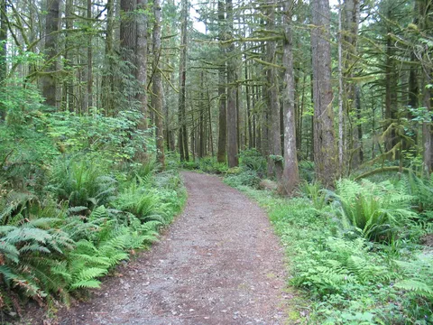
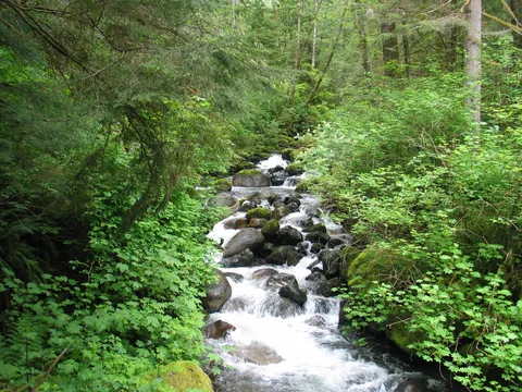
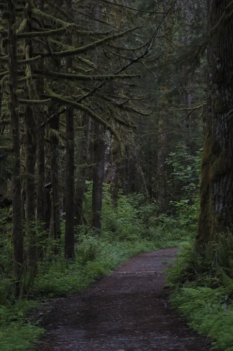
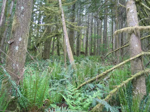
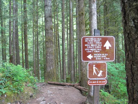
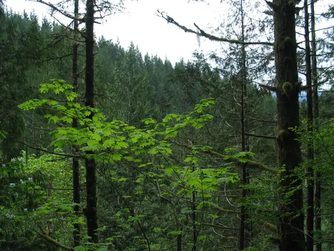
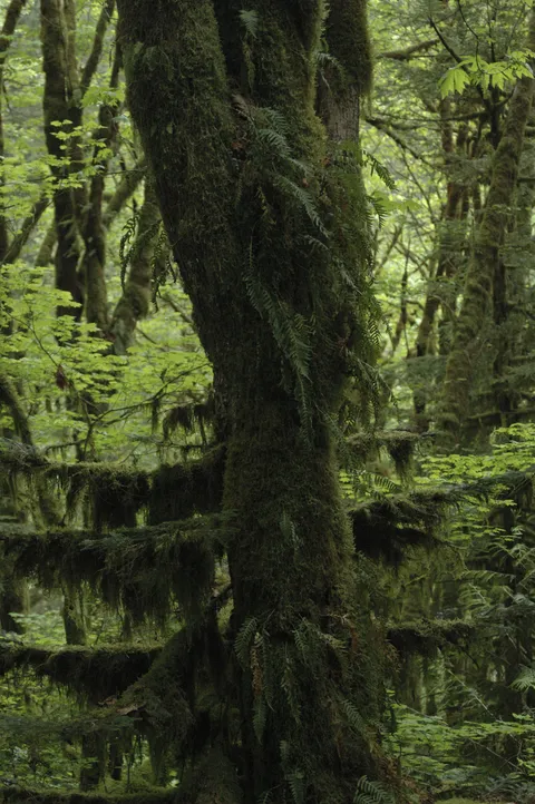
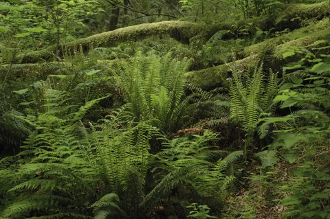
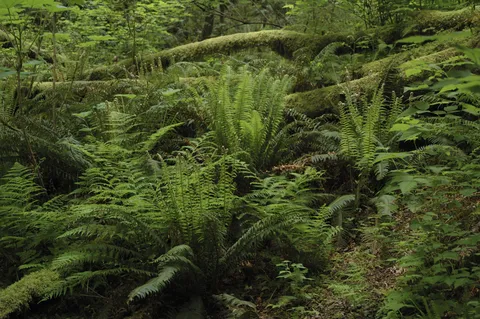
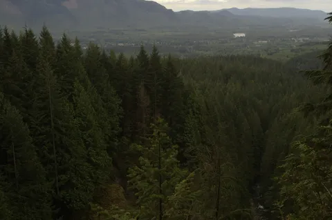
That said the hike begins along an access road to service the powerlines, but within 10 to 15 minutes enters the trees. The contrast is quite stark and happens so quickly as to make you do a double take on the change. The trail itself is very kind for the first couple miles. Along the way there is ample time to suck in the history of the area, and there are several signs outlining what has happened here in years past.
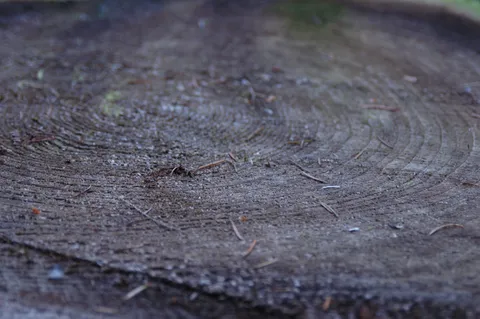
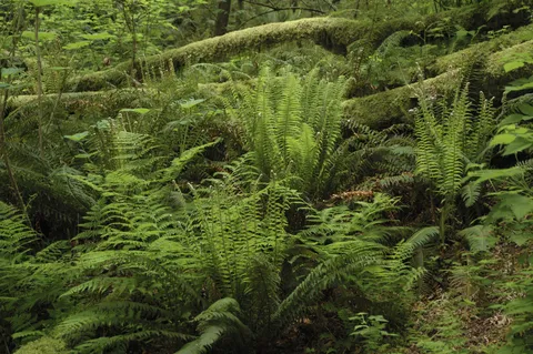
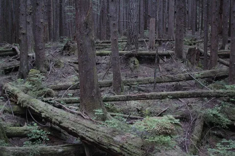
Turns out this area was formerly logged around the turn of the century and the evidence of this activity can still be seen today in the form of notches cut out of old growth tree stumps that acted as platforms for loggers in search of fresh timber. Also there are signs indicating remnants of a former rail grade can be found here though we were unable to spy them.
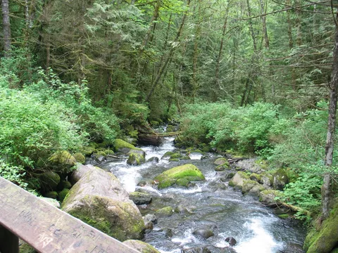
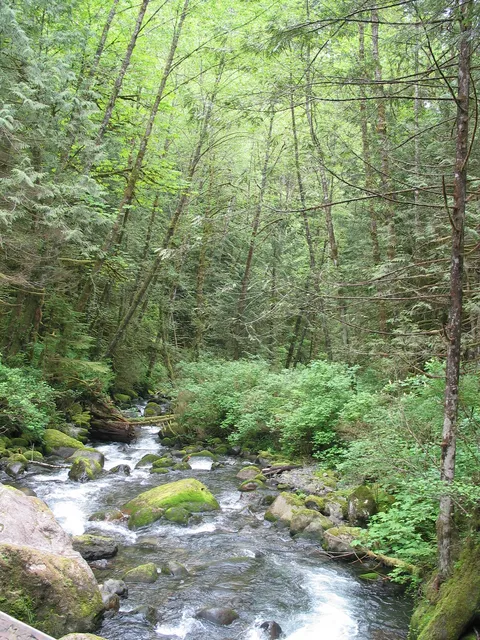
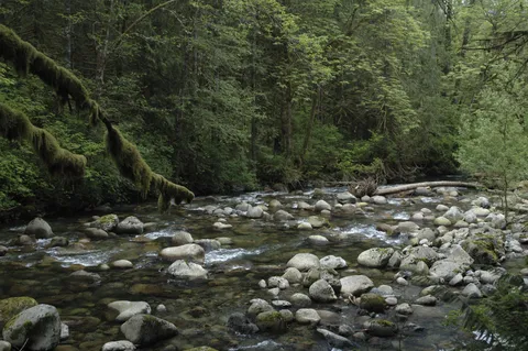
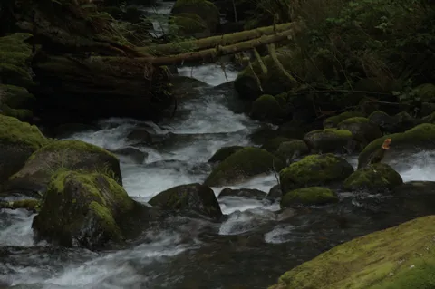
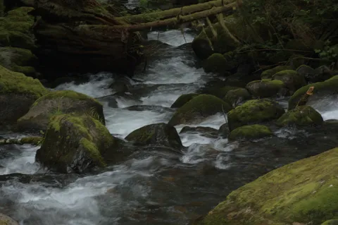
In a short while the trail reaches a fork offering two paths to Wallace Falls. One path winds along the river and another goes up through the trees. We opted to follow the path through the trees on the way up and take the river trail on the return. Selecting the path through the trees is a good idea if you are looking for some alone time. The amount of traffic this area sees is considerable as evidenced by both the parking lot and built structures you see along the way.
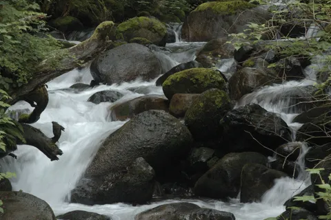
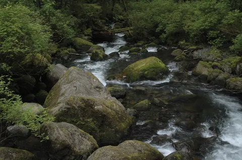
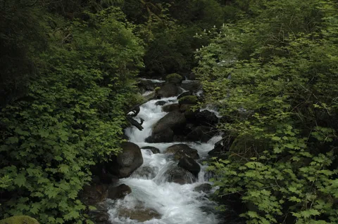
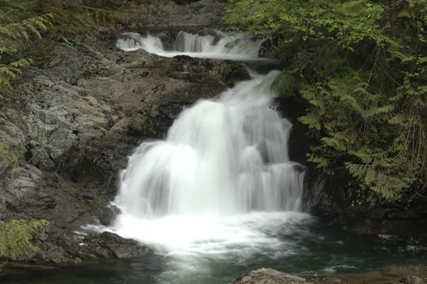
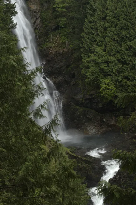
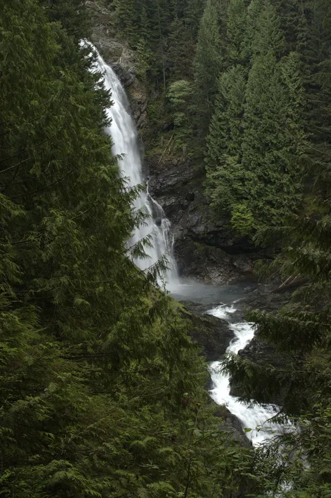
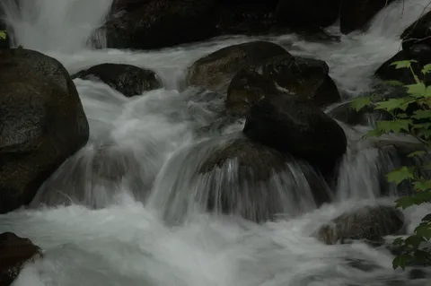
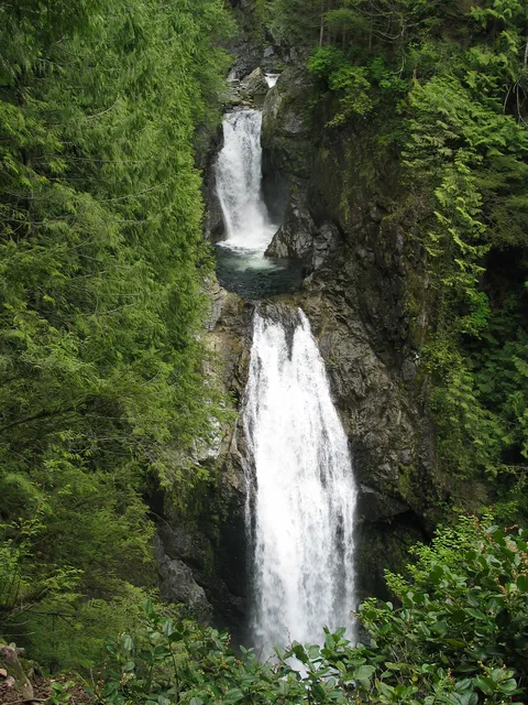
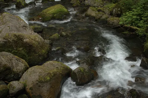
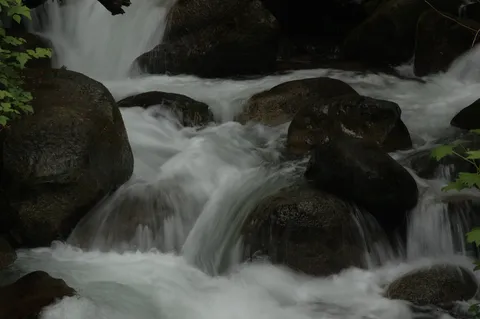
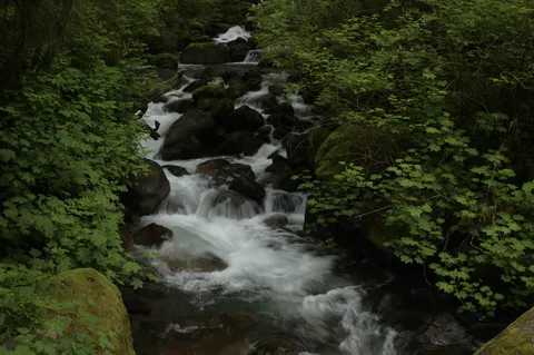
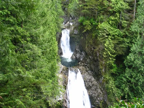
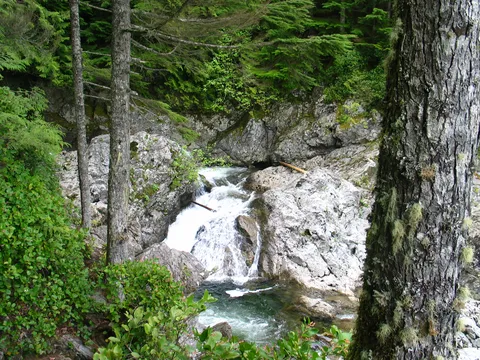
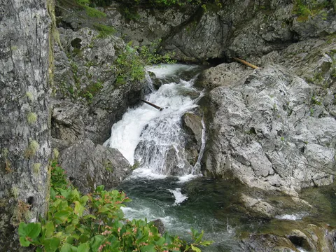
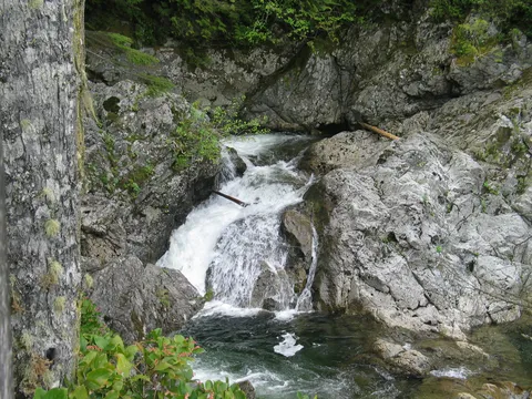
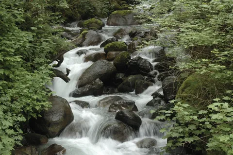
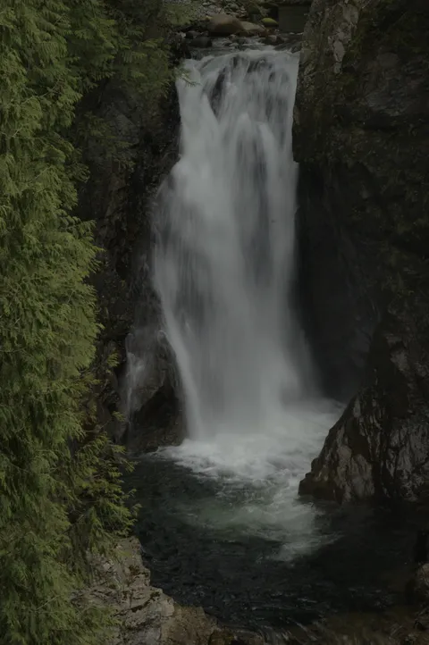
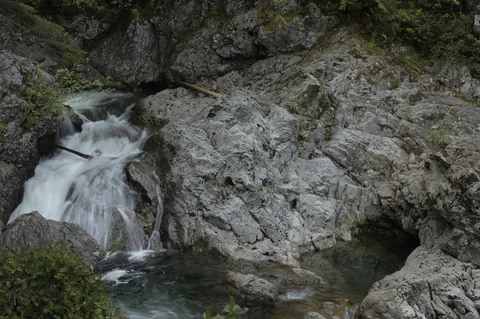
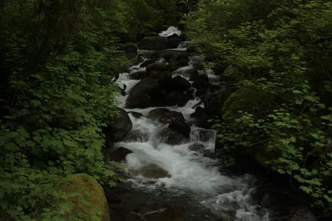
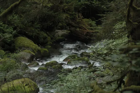
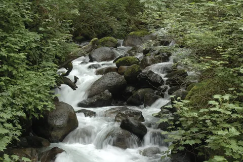
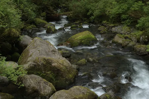
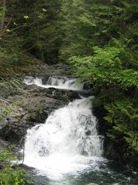
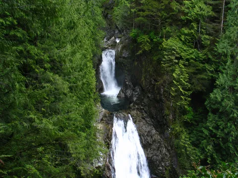
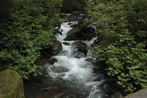
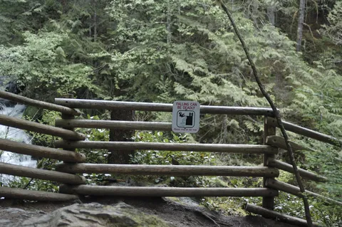
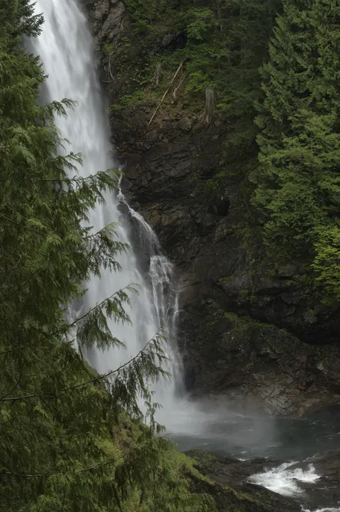
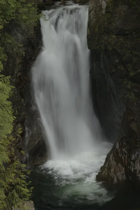
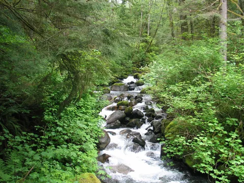
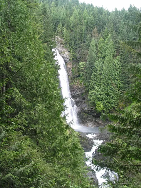
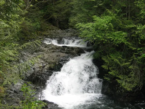
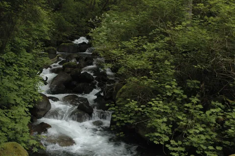
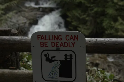
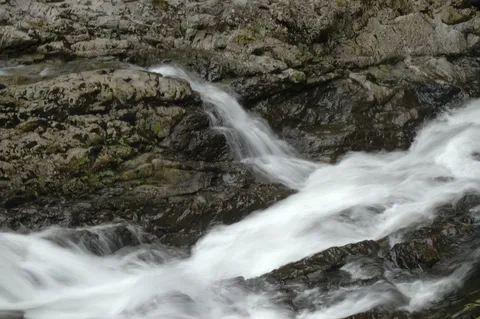
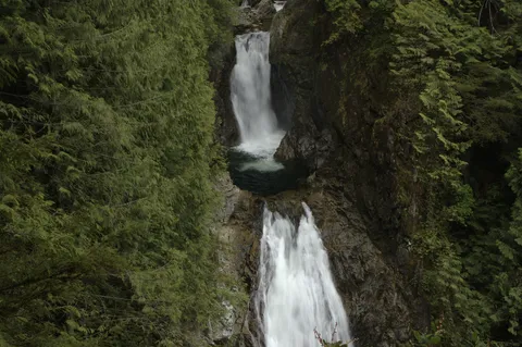
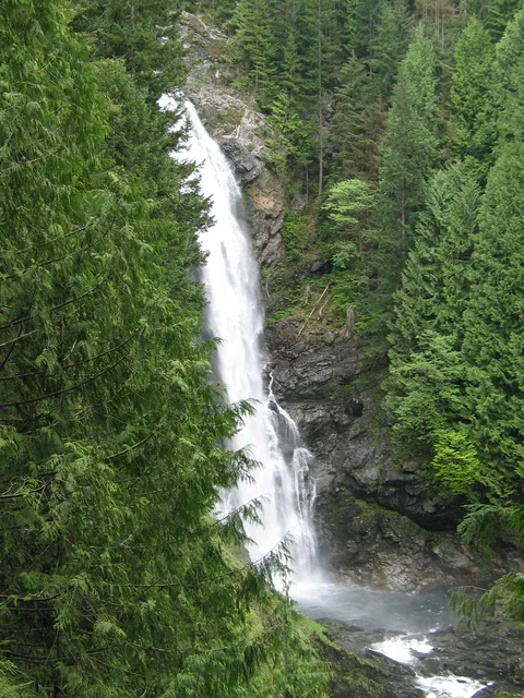
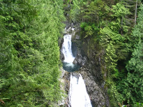
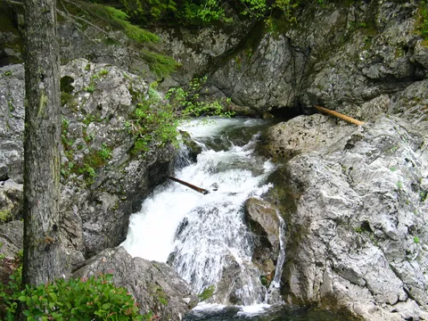
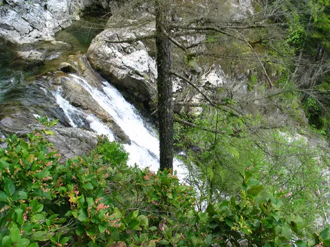
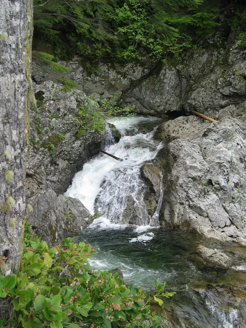
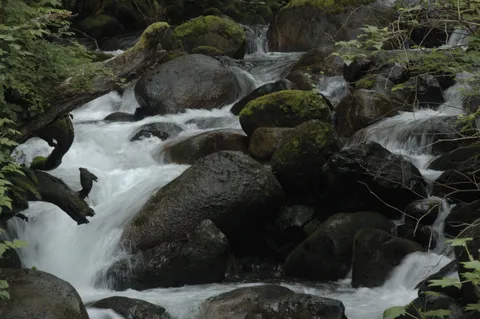
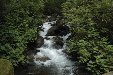
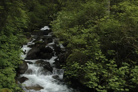
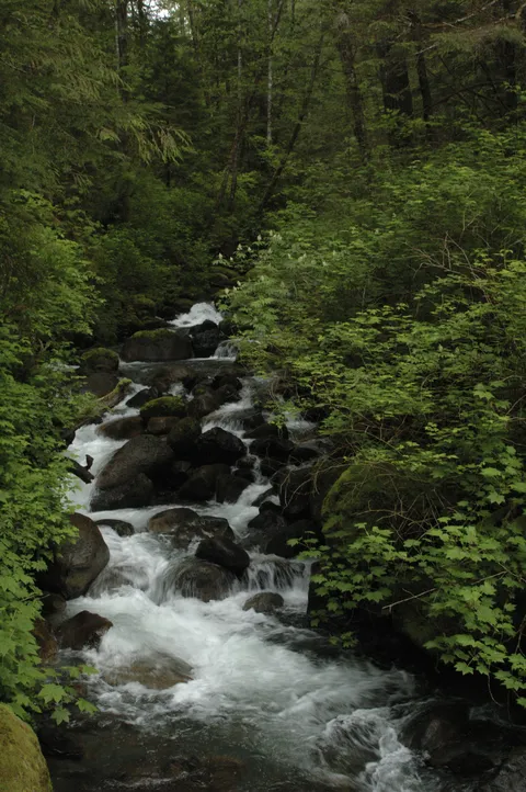
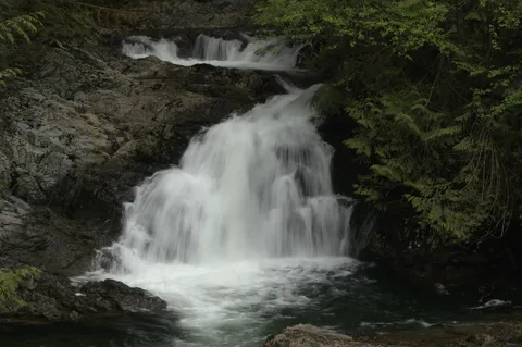
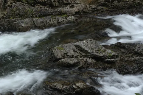
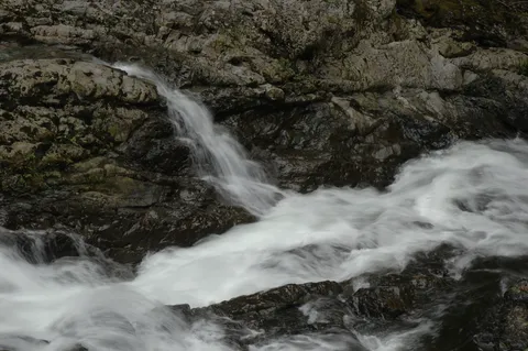
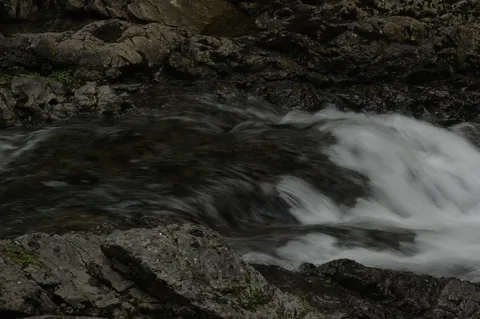
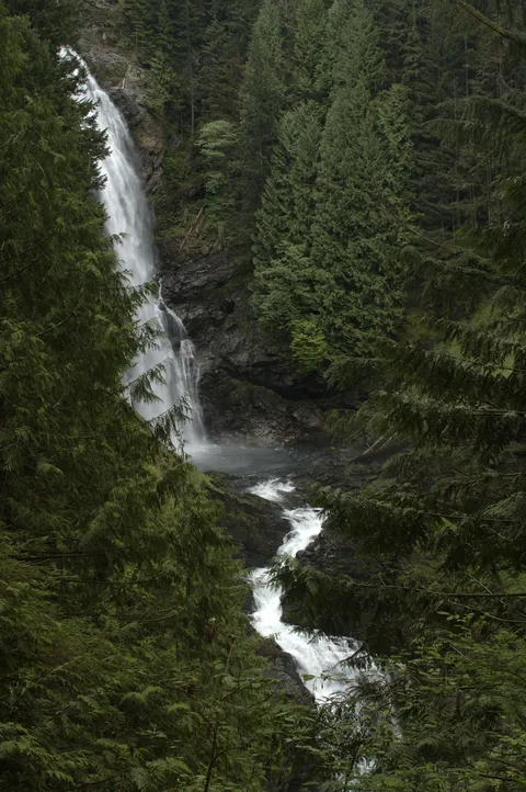
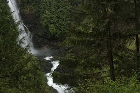
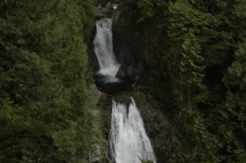
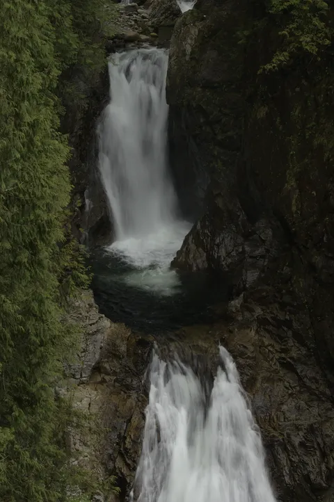
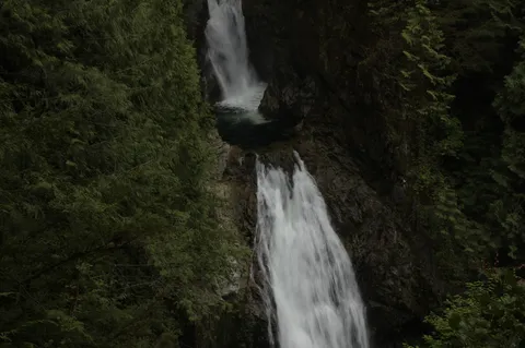
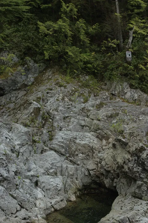
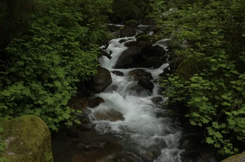
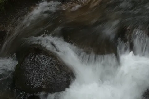
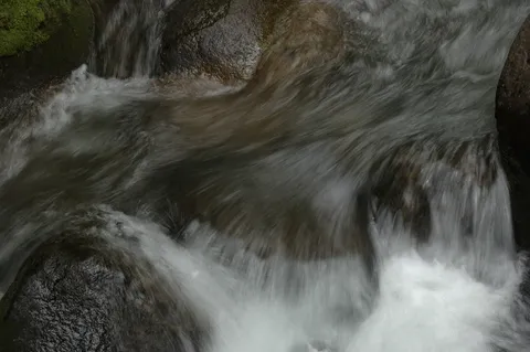
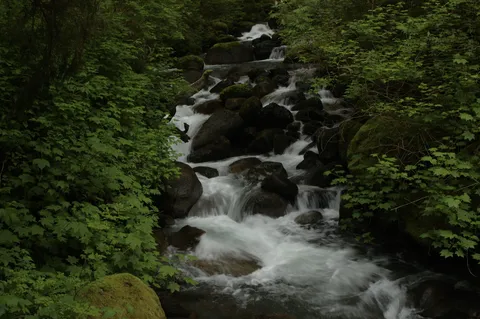
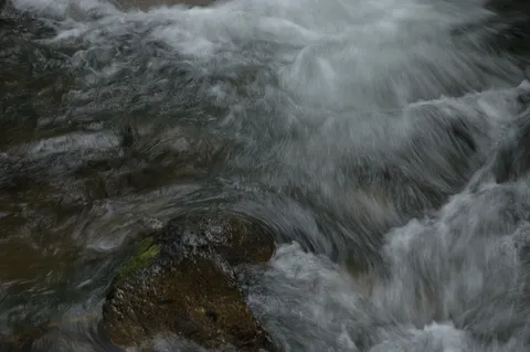
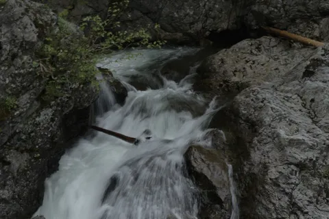
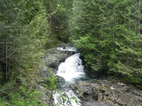
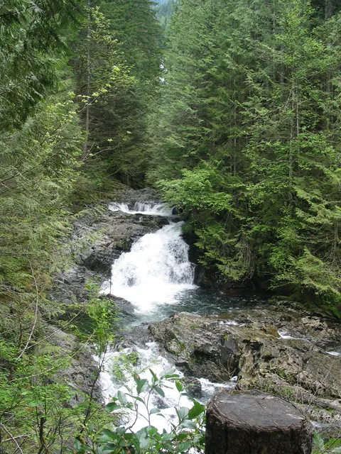
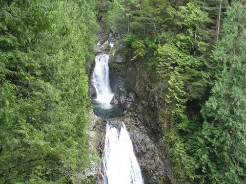
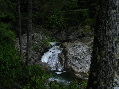
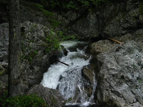
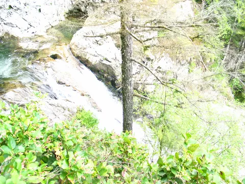
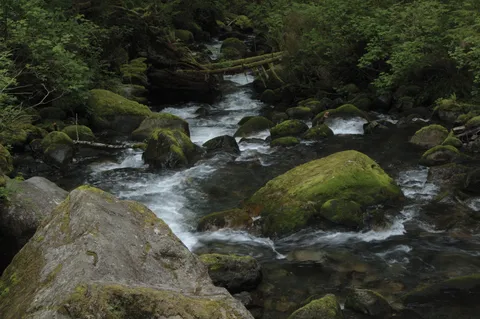
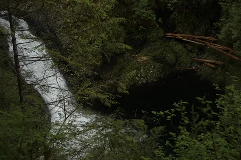
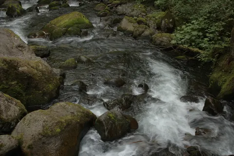
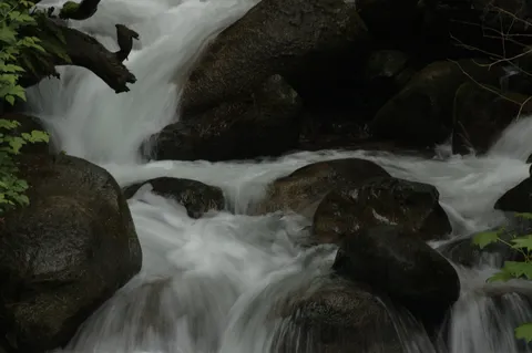
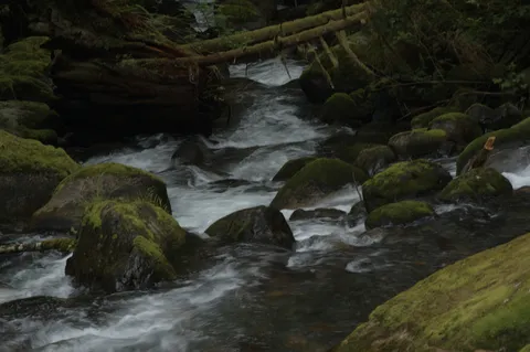
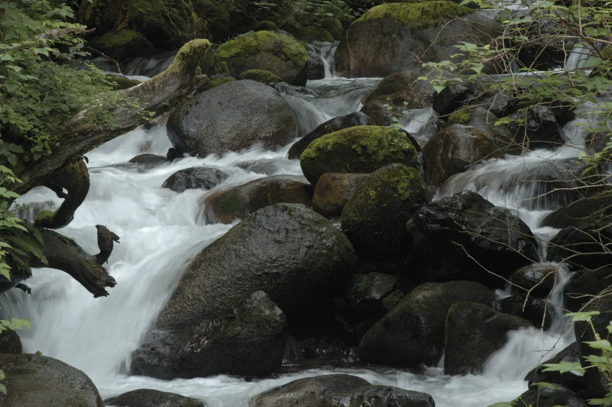
There are several waterfalls along the way, so many that honestly they blur together. The first couple are rather small, as you cross the first log bridge, but the next two of size are relativly large and grow longer ultimately culminating in the larges - Wallace Falls itself. The views of the waterfalls vary, and you really aren't able to get close to them since the canyon walls are deeply cut. Still they are quite pleasant.
The trail does get a little steep en route to Wallace Falls itself though the shortness of this stretch shouldn't be pause for concern. Beyond Wallace Falls there one can travel to Wallace Lake and double back, or choose the DNR road. There is a sign pointing out that people get lost in this stretch and care should be taken. The trail does seem to get lost in the underbrush, but I doubt it is that tricky to follow. Still if you have any doubt about your navigation skills etc. it is probably wise to turn around here. We did, but that was more of a time interest decision than anything else.
Overall, I would say from an effor to payout ratio this is a nice hike to do, and if you have guests from out of state I would definently consider taking them here. It isn't difficult.
Photos 113
Highest rated first