
Directions: From Granite Falls, drive the Mountain Loop Highway east to Forest Road 4030 just before the red bridge. Turn right and drive 1.5 miles, then turn right on Forest Road 4032. Drive to the end at 5.7 miles, elevation 3,080 feet and the Walt Bailey trailhead.
Trail notes: The Cutthroat lakes trail begins on very narrow logging road. Parking is scarce and turning around can be a real bear. Personally, I think the best place to park is a large loggin landing located about 5-10 minutes from the end of the road. From here you can even spy Bald mtn if you look up above.
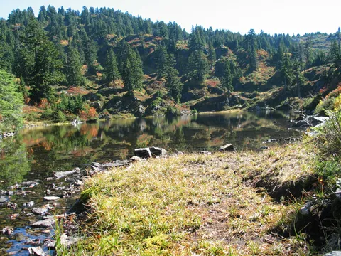
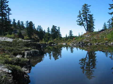
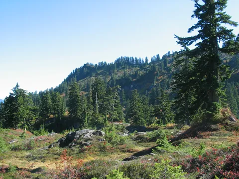
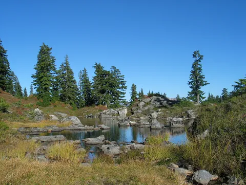
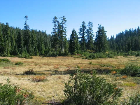
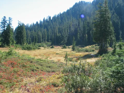
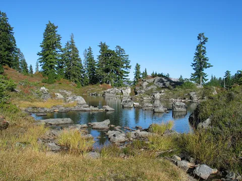
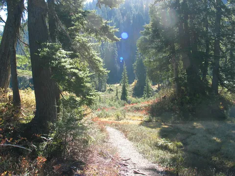
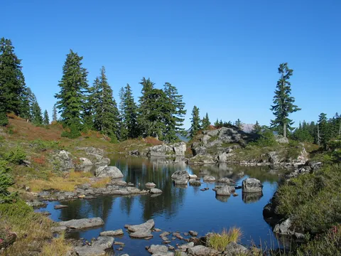
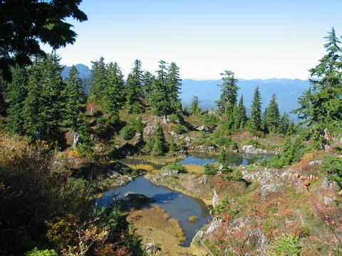
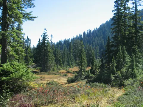
The trail itself starts off through mixed oldgrowth forest. The underbrush is dense and mostly is made up of fir and some cedar. The trail undulates for about the first 30 minutes and gradually enters more open terretory. As you march along the opening begin to become more and more prominent until ultimatly you begin running into small ponds an lakes.
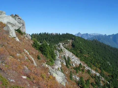
About this time you see a ridge to the south and a gradually rising ridge moving to the west. The trail continues along open meadows for about 20 minutes before deciding to switchback it's way up the ridge. There isn't anything too appealing about the switchbacks and the trail becomes ever more rough with large amounts of loose rock on the trail.
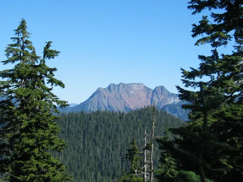
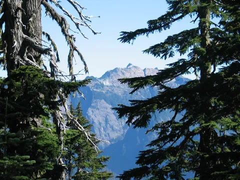
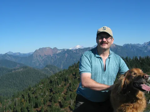
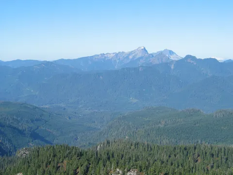
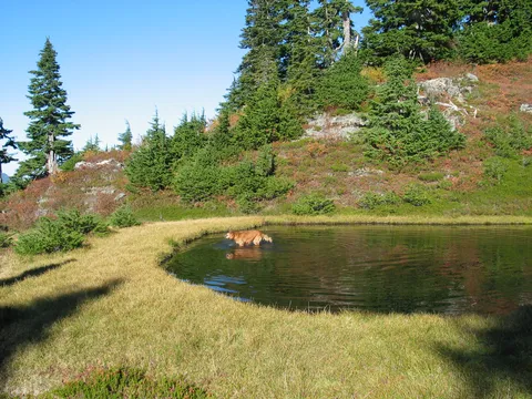
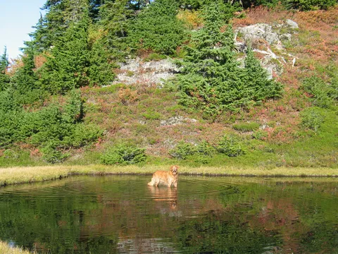
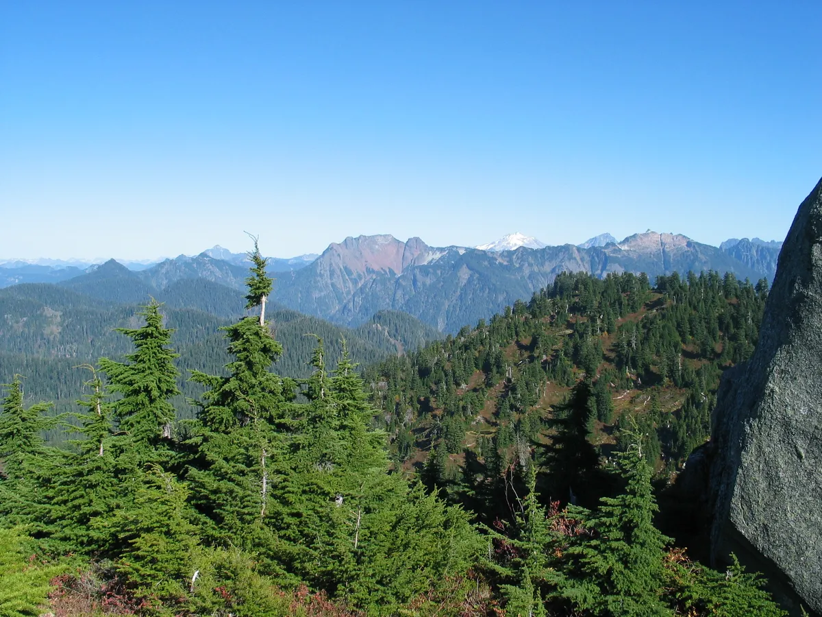
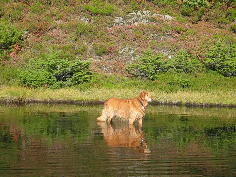
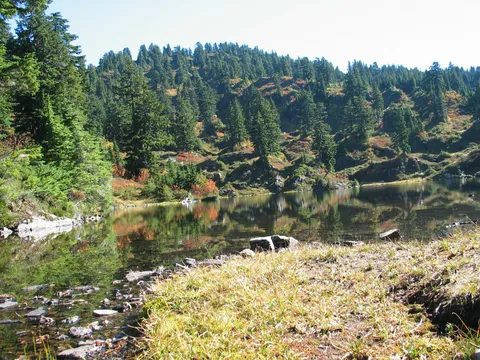
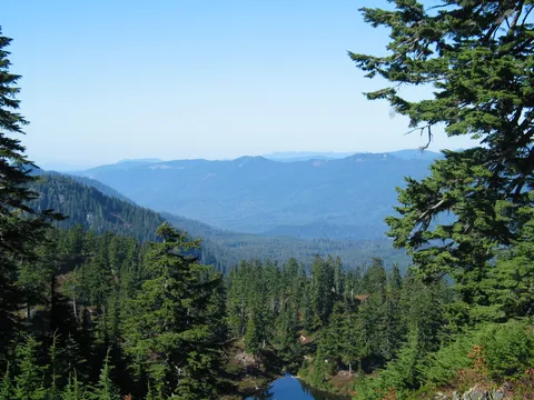
As you climb the switchbacks you have a pretty good sense of how far you are climbing and there as you near the top you can look across the valley (your first view) and spy Big 4 mountain and Vesper Peak. Continuing along another 5 minutes delivery you to the beginning of the Cutthroat lakes and provides a nice place to stop and have some food. In our case the dog was the happiest one to reach this point since it meant a well deserved swim. Note the net gain on this hike is 2800 but the realized gain is closer to the elevation listed
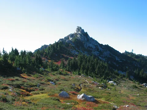
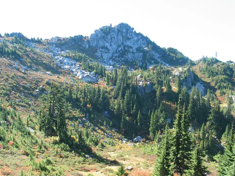
From the crest of the ridge you can see Bald Mountain in th distance - the large exposed rock face and trails go off in all sorts of directions. Some clue as to where to go can be determined from the relative usage of any trail, though it wasn't a certainty. If you are going to Bald Mountain it would be best to head northeast along the low slung valley's left wall. As you proceed along you will find the trail leading up towards Bald Mountain. If this is your end destination there are plenty of lakes to discover on the relativly flat area.
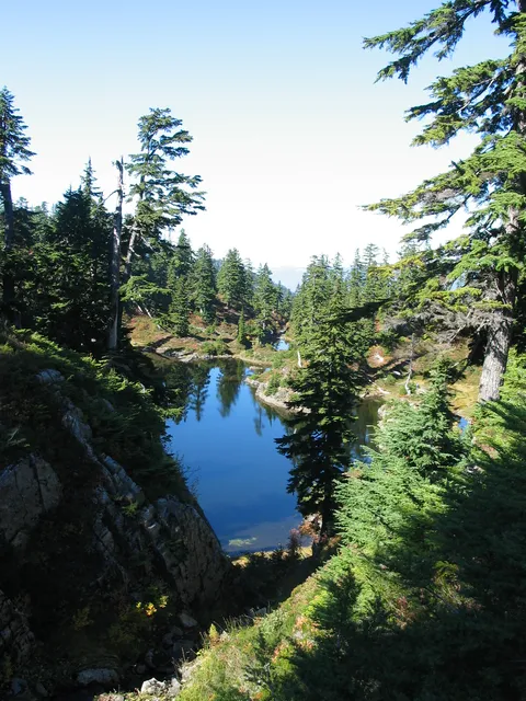
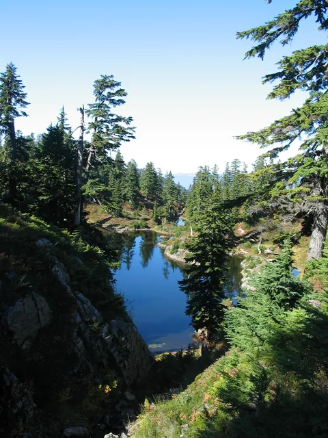
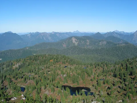
As you make your way along the trail en route to Bald Mountain you will have ever nicer views looking down to the Cutthroat lakes which you begin to realize are even more numerous than first thought. The trail itelf just contiues up the ridge until it meets another trail with a sign clearly indicating the trail to Bald mountain. The distance isn't marked.
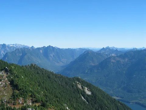
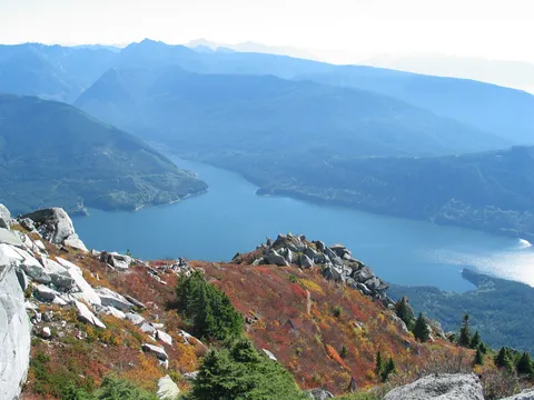
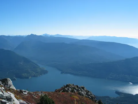
Once you are on the Bald Mountain trail you hike another 20-30 minutes working your way along the ridgeline. It is here you get some wonderful views of Spada Lake, which is really very nice in the sun. As you make your way behind (eastern side) of Bald Mountain you will see a spur trail leading up towards Bald mountain. The trick here is to work your way to the right, or easter side of Bald Moutain so you don't have to get really crazy with the climbing, though you can take the chute straight ahead of the spur without too much difficulty.
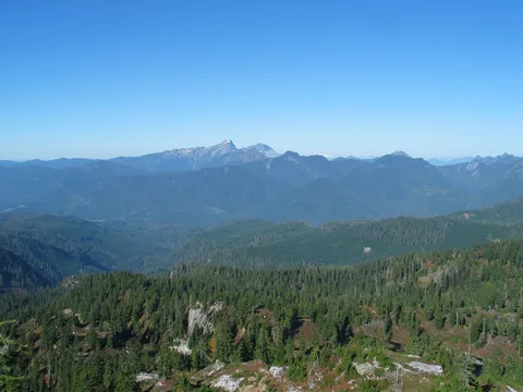
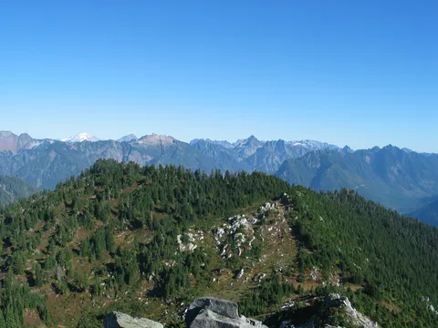
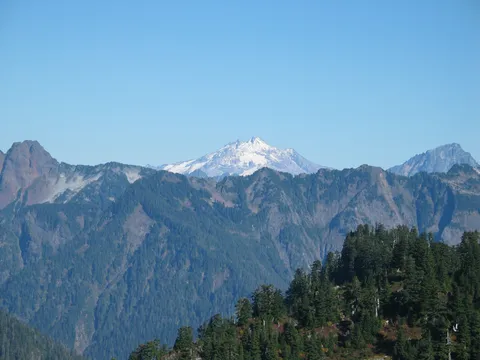
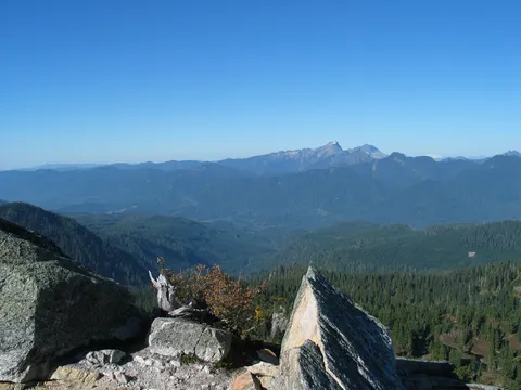
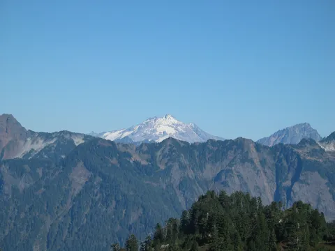
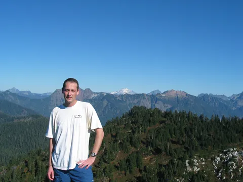
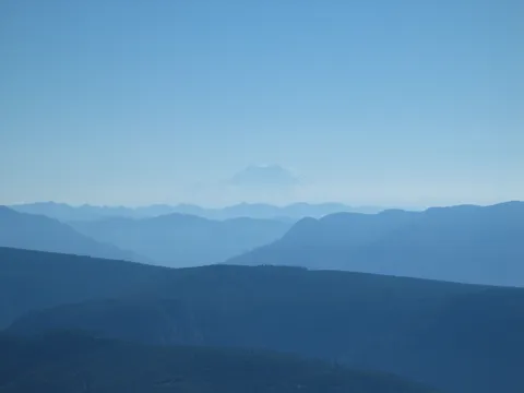
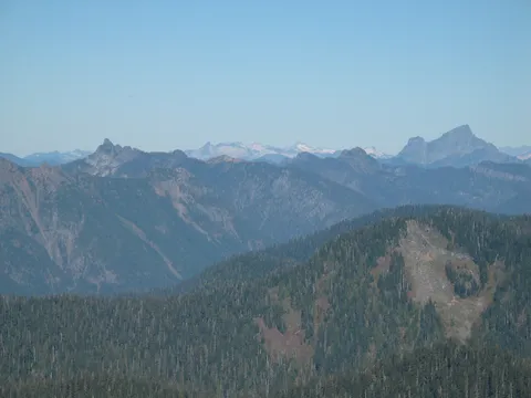
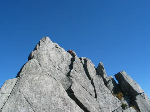
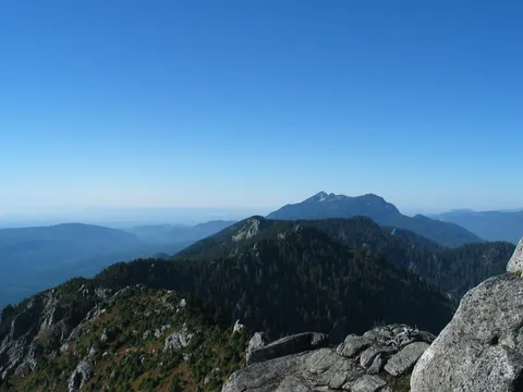
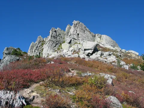
Once you are on the eastern section of Bald mountain a couple cairns will help guide you up to the very top. It is pretty steep, and I would feel a little sketchy doing this on wet rock, but overall if you take your time you should be fine. Shortly thereafter you are on the top and enjoying a 360 degree view of all the surrounding peaks such as Sloan, Pugh, Vesper, and even Glacier Peak in the distance. We were also able to spy Mt. Shuksan and Mt. Rainier and the Puget Sound in the distance. Over all this is a very nice hike, and not very difficult for what it delivers. If you are looking for an easy hike, you might just want to stop at the Cutthroat Lakes and enjoy yourself there, if you want the ultimate view contiue on to the top of Bald Mountain - definently worth the effort!
Photos 43
Highest rated first
a