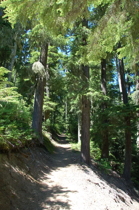
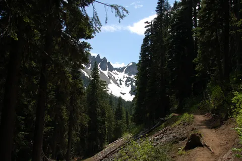
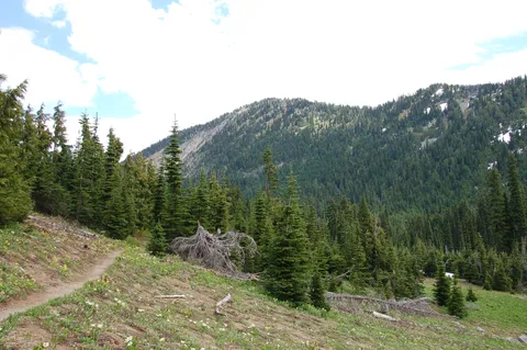
I really didn't want to go on this trail. After passing the trailhead sign for it many, many times on the way to Sunrise, I thought I'd do it just check it off the list. It seems that the trail books just mention going to Owyhigh Lakes from the Sunrise road and then heading back the same way. The map says that the Owyhigh trail keeps going another 4-5 miles and connects to highway 123. We decided to do the one way route. We dropped one car off at the highway 123/Owyhigh trailhead. There is no parking lot here, just a turnout for about 5 cars. We then took my car back around to the road to Sunrise and then parked at the north end of the Owyhigh trail. After triple checking to make sure we had car keys to our car at the end of the trail (we are not walking back!), we were off. The first two miles of this trail is amazing. Four foot wide and nary a rock or tree root to trip over. This grade "A" trail could almost be considered wheelchair accessible (it's that good). Good trails don't last forever and this trail started getting ragged around the edges the last mile and a half to the lakes. There is a campground and toilet before the lakes.
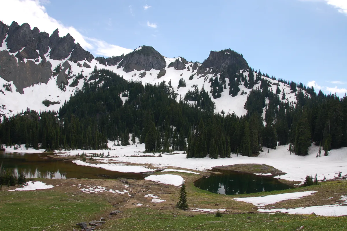
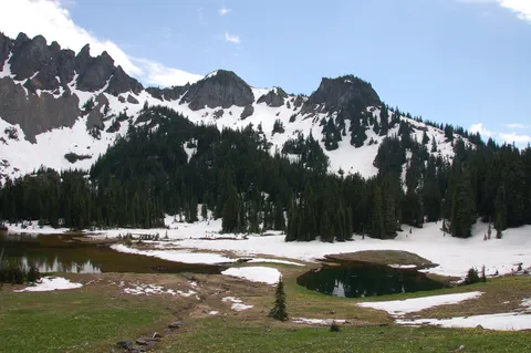
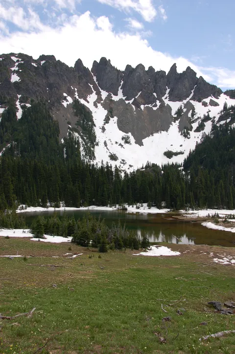
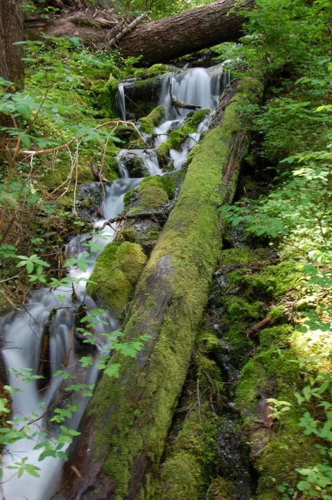
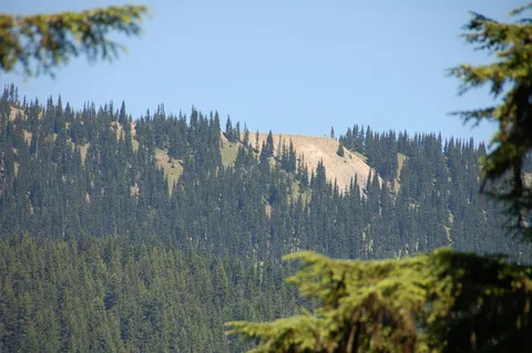
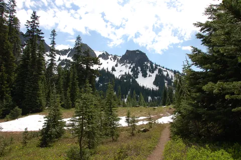
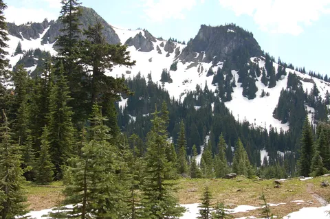
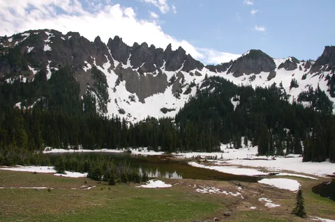
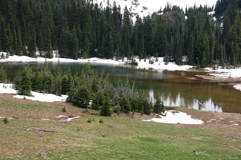
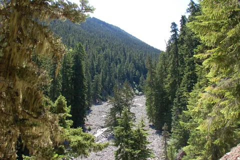
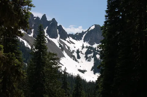
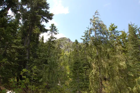
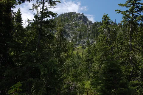
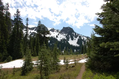
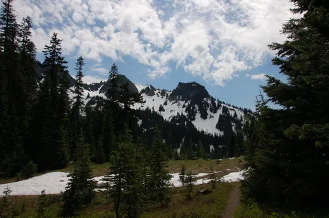
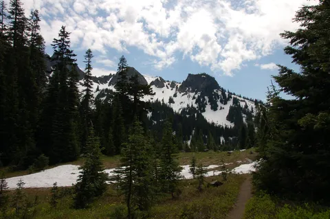
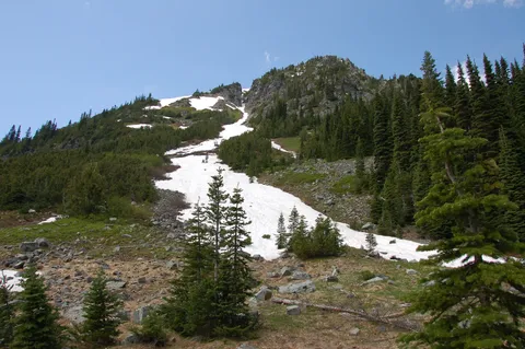
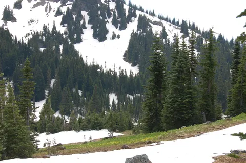
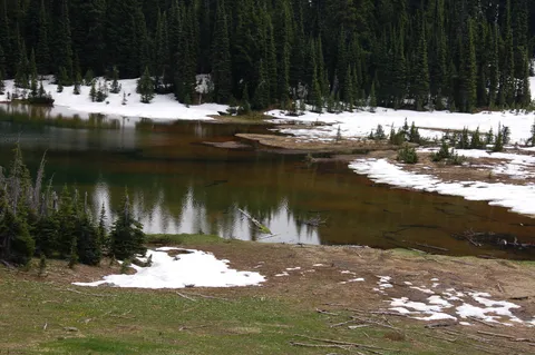
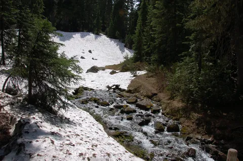
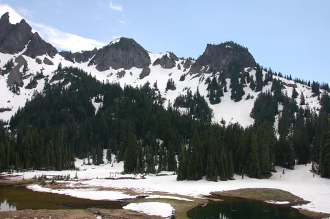
The weird thing about the trail is that there are hundreds, if not thousands of falled trees. They are everywhere. Broken trees, shattered trees, snapped trees and pleanty of rotted out trees of all kinds. Very strange. We finally got to the lakes. They were very shallow and surrounded by several high peaks (just like Crystal Lake to the northeast). The trail did not go directly to the lakes. It just arched its way arounded them from a distance. We could not see a trail to them at all. We found out farther down that the trail to the water is on the very south end of the lakes. Most people at this point would have turned around, but we were going one way to highway 123. This is where the trail gets really nasty. It's totally unmaintained for almost a mile and a half. At times we were wondering if we were on a trail at all. Lots of deer/elk footprints in the mud as we hiked through tall bushes and grass. The trail cuts through a mountain pass (very windy) and passes an unnamed falls which had no trail to it. :( Then, to our surprise, the trail started looking like an actual trail again! We hit the afterburners to make up for lost time and took a break at a viewpoint high above some falls that looked pretty spectacular (no trail to them though). If you knew where to look, you could also see the Shriner Peak lookout off to the southwest. The last mile of the trail was a jackpot of three creeks running into each other with waterfalls at every turn. The very last half mile was all uphill to the highway. We were tired and burnt out by then. When we got to the highway and looked at the trail sign, it said that it was 9.7 miles to the Sunrise road. Wow, I thought it would be around 8 miles one way, but 9.7 is not what I wanted to see. Anyway, if you want a quiet, lonely trail to spend an entire day on, then do the two car shuttle. Either way, (hiking N to S or S to N) you will get a workout.