
Directions: From Puyallup drive 13 miles east on Highway 410 to Buckley. Turn right (south) onto Highway 165 and proceed through Carbonado. Just beyond the Carbon River Gorge bridge, bear right onto Mowich lake Road. Follow the road about 17 miles to its end; the trail head is at the far end of the Mowich lake Campground.
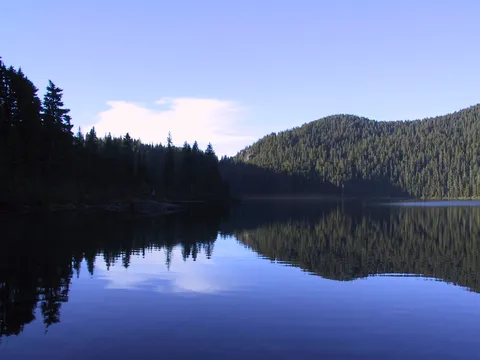
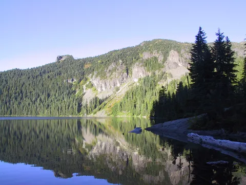
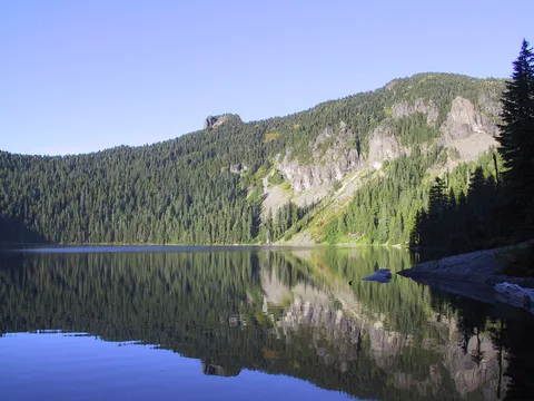
Trail Notes: Wow has Spray Park become a popular destination - that was my first thought upon reaching Mowich Lake. A quick count of the cars at the trail head yielded a number of over 100. I noticed only one car nearest the Tolmie Peak trail head and was tempted to do this hike rather than Spray Park fearing the crowds would be unbearable. However, not having done this hike in a couple years thought better or it...that combined with my last experience on Tolmie Peak. Not a bad hike at all, just a bad personal experience.
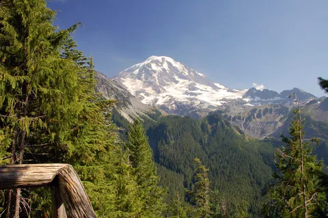
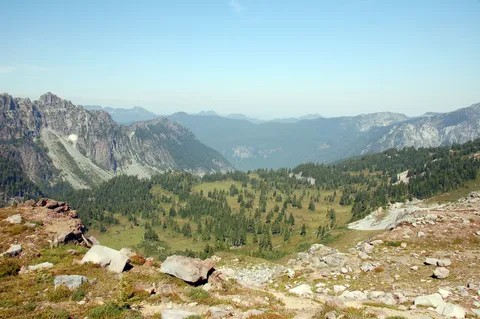
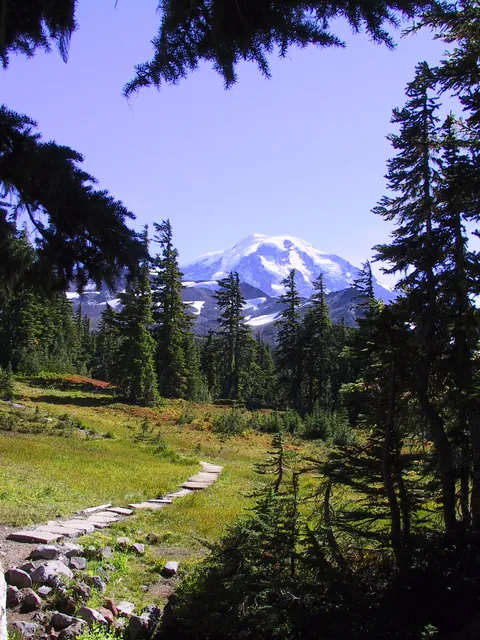
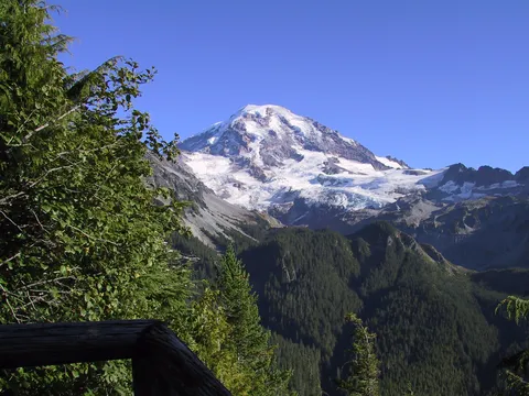
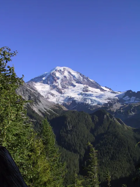
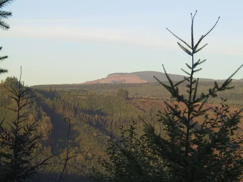
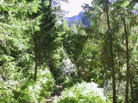
So I started off doing the decent to get around Hessong rock. Almost immediately I ran into quite a few people, and even more bugs which surprised me given the lateness of the season. At any event, the bugs were mostly black flies which while bothersome don't seem to bite very often. Also the occasional horse fly which are equally impaired when it comes to taking chunks out of you. After about 30-40 minutes I reached Eagles Roost lookout which is the spot I have taken my favorite picture of all time. I highly recommend stopping by this on the way back since the light it better then.
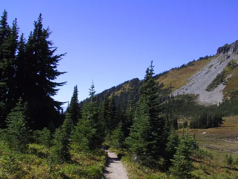
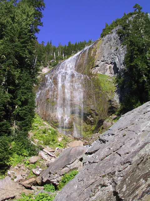
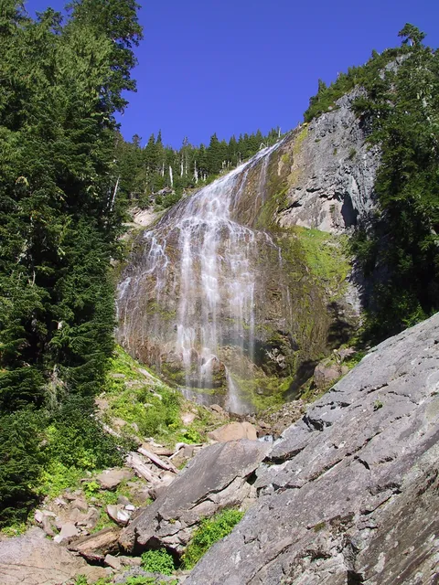
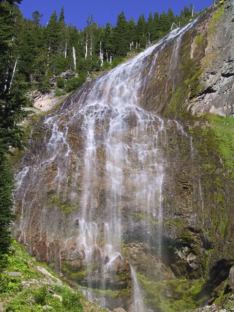
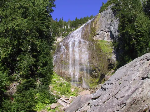
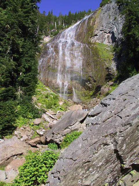
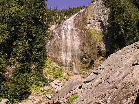
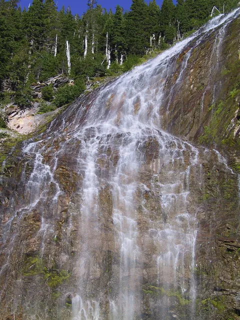
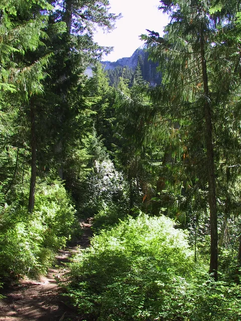
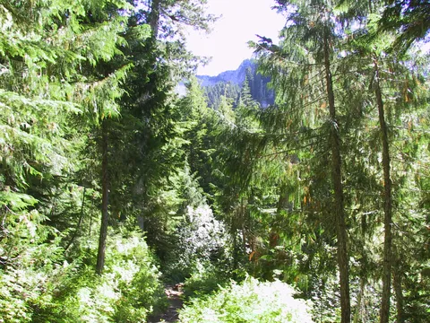
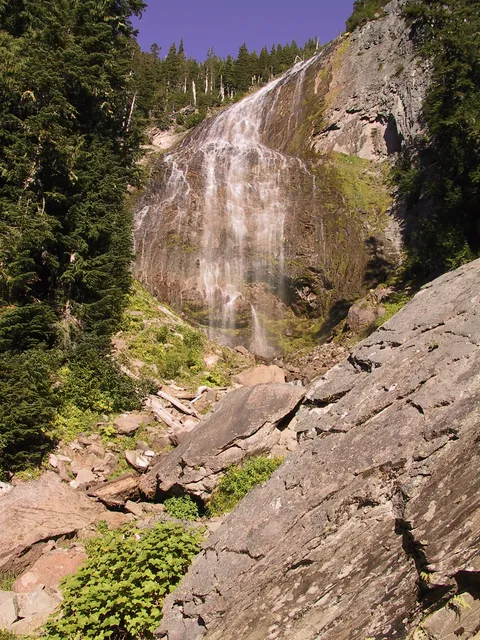
So I opted to continue along enjoying the relatively level part of the trail which abruptly comes to an end right past Spray Falls which is a worthwhile couple minute jaunt. I similarly didn't stop here on the way up, instead opting to get the uphill out of the way... with hopes of some wind at the top to knock down the bugs. I don't know what happened on the uphill, but for some reason found the going very tough. I woke up dizzy this morning so maybe that was it...or maybe it was the Taco bus from the day before. Regardless I continues on up to Spray Park. The sign advertises it as .8 miles from Spray Falls, though it isn't clear to me where exactly Spray Park begins. To my way of thinking it is just past the fist footbridge where you enter the park.
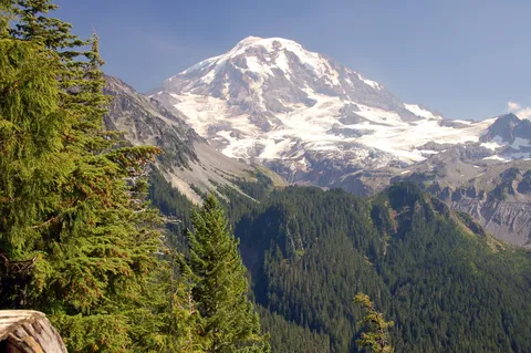
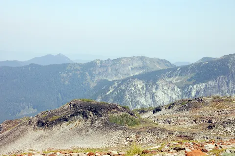
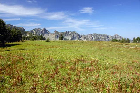
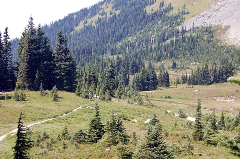
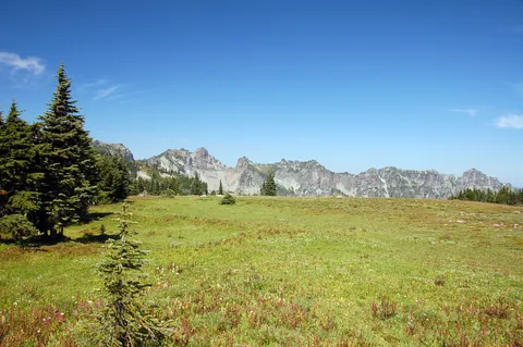
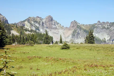
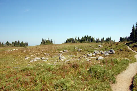
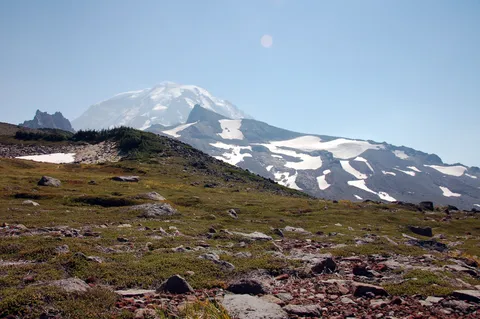
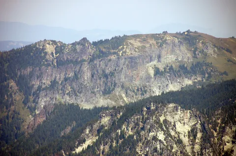
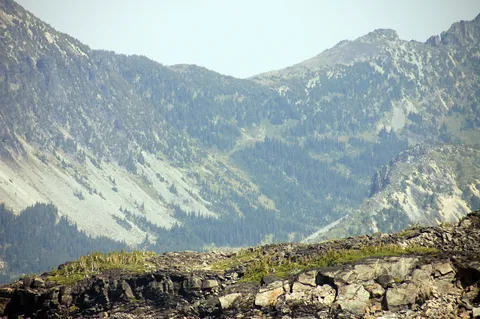
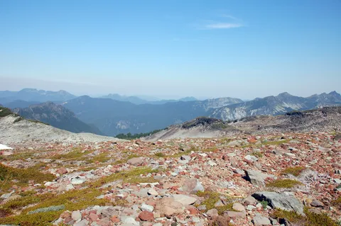
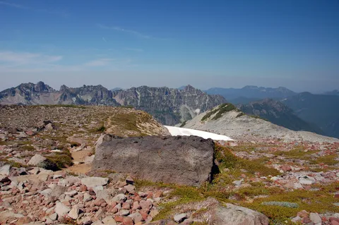
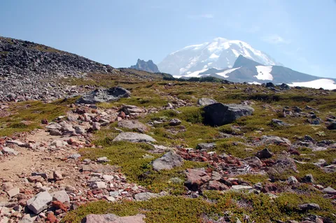
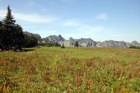
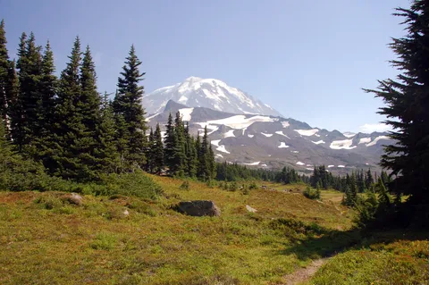
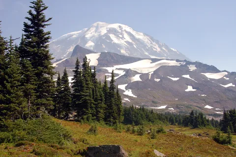
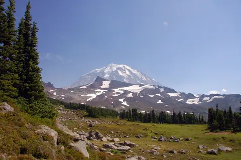
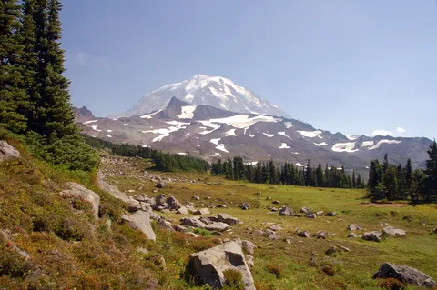
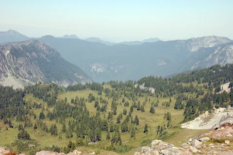
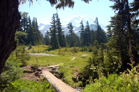
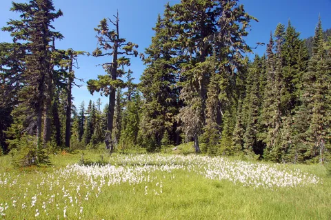
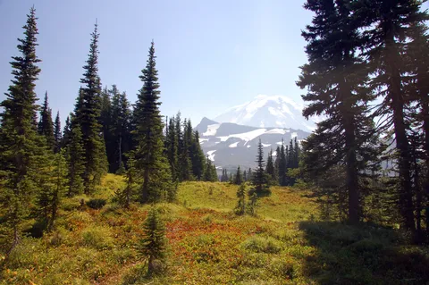
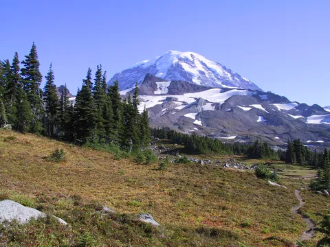
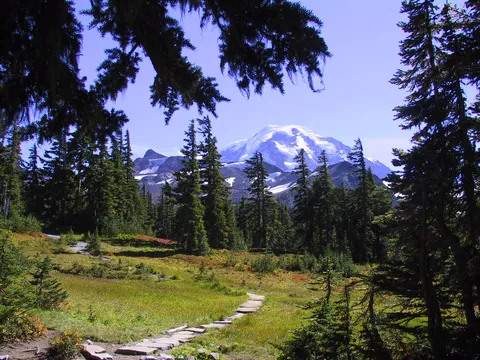
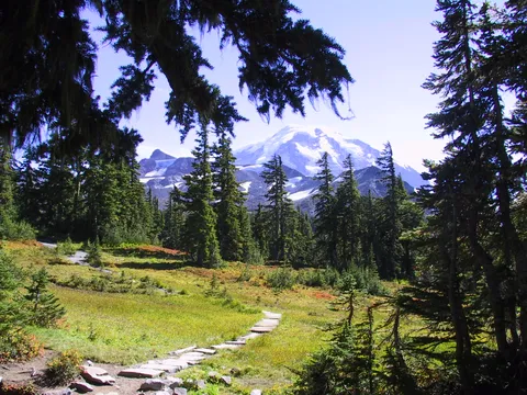
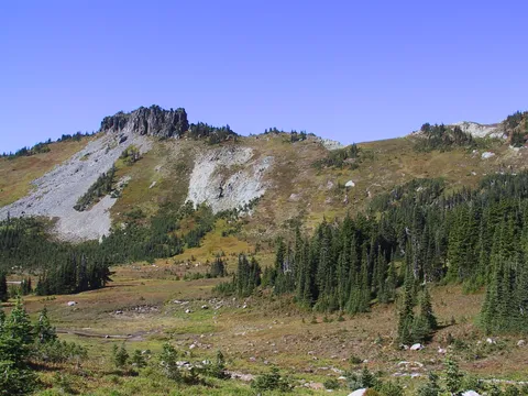
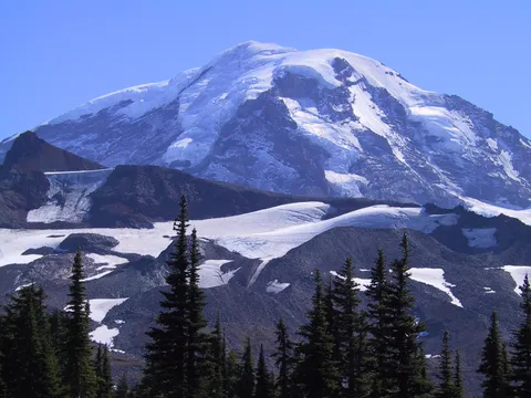
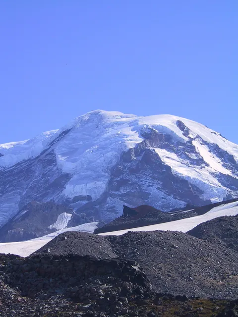
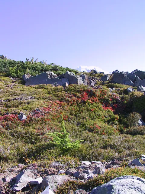
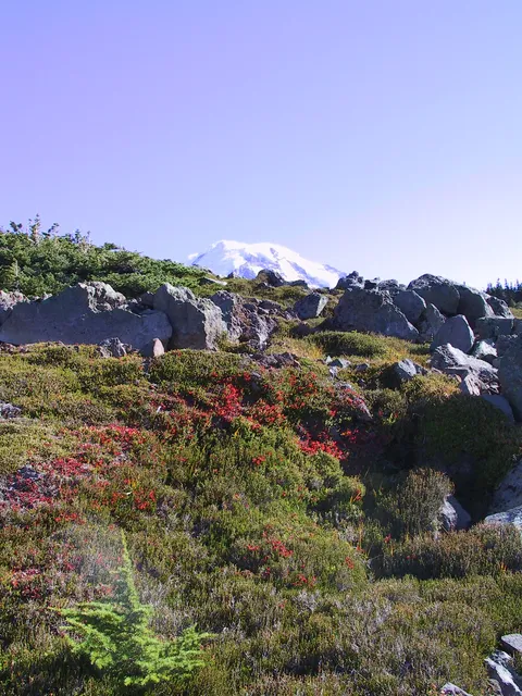
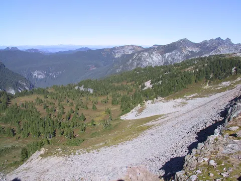
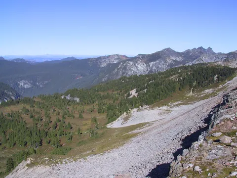
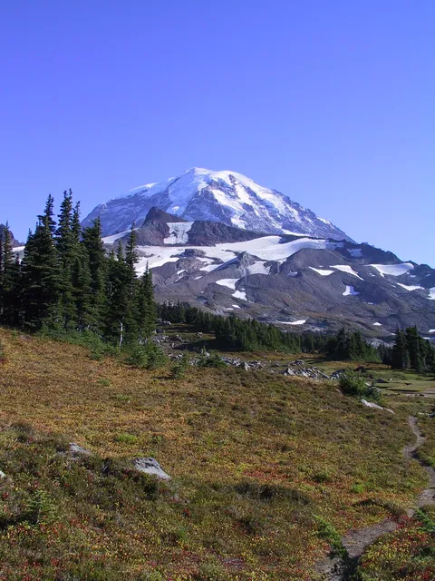
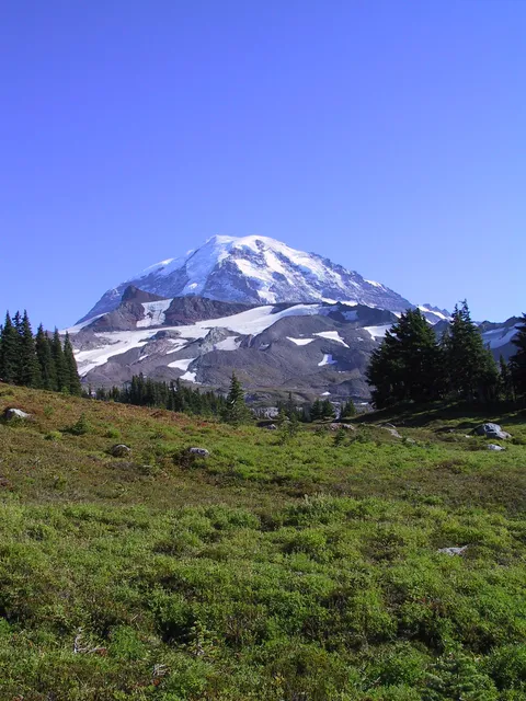
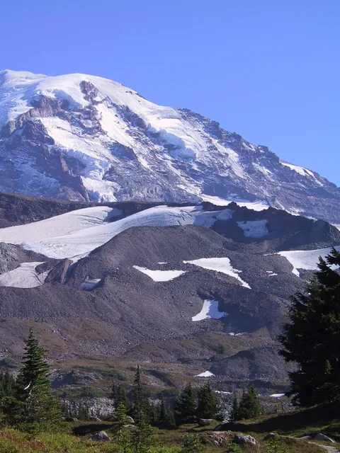
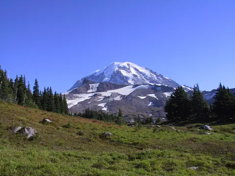
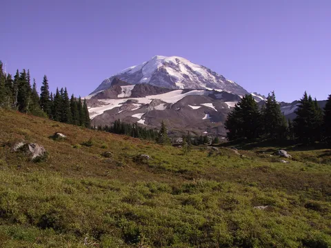
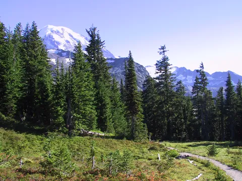
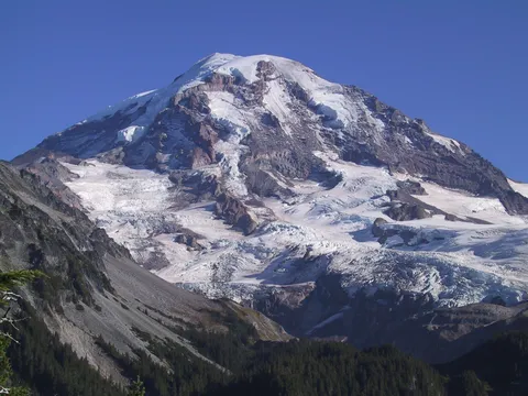
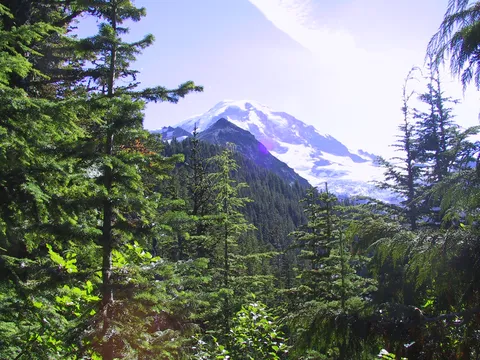
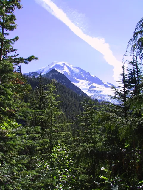
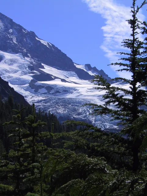
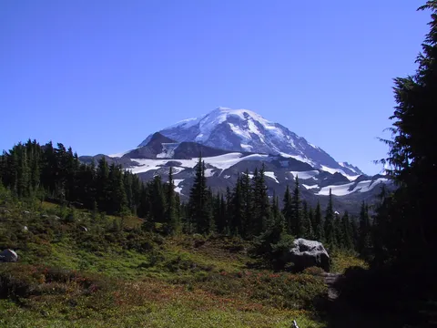
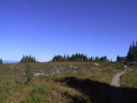
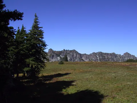
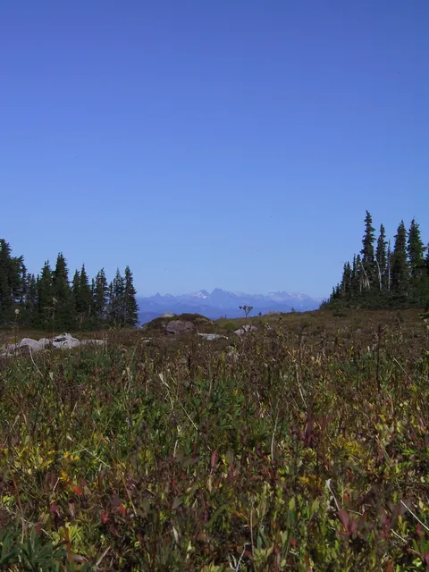
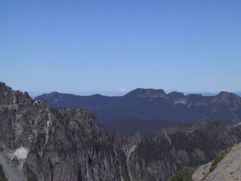
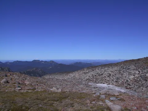
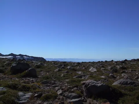
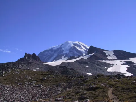
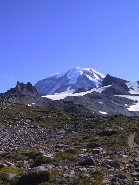
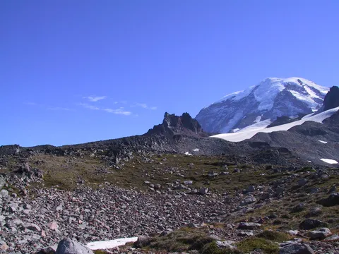
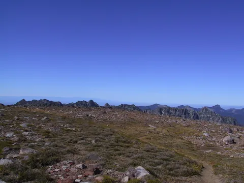
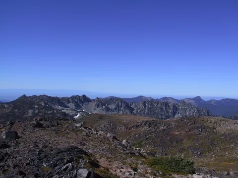
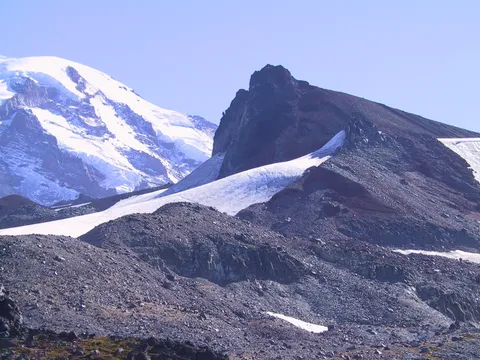
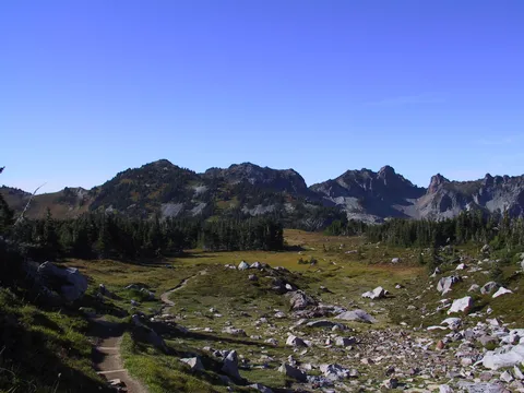
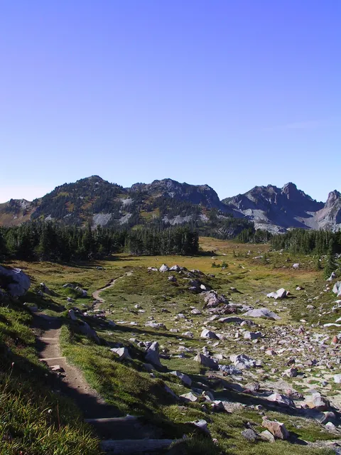
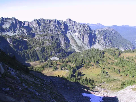
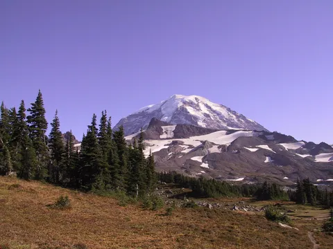
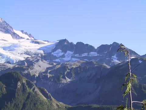
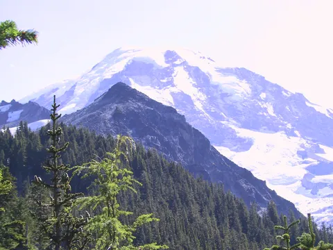
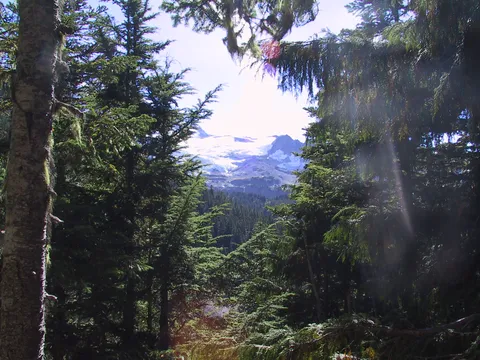
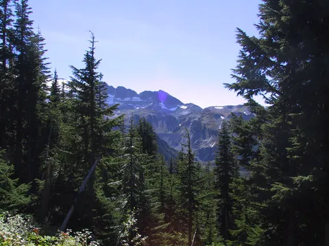
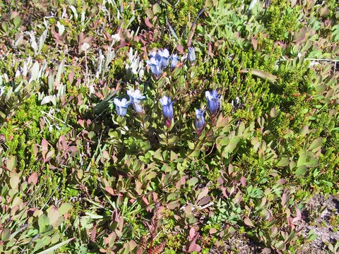
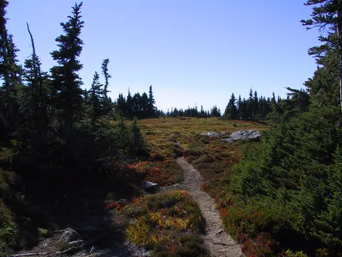
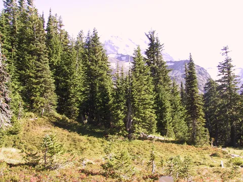
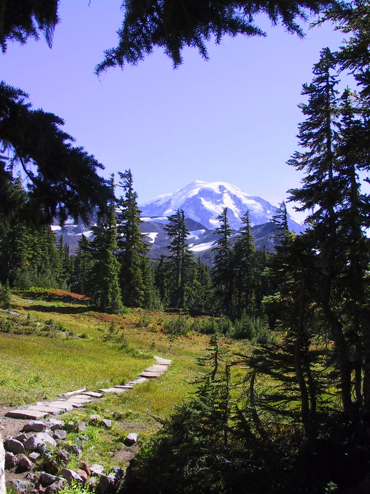
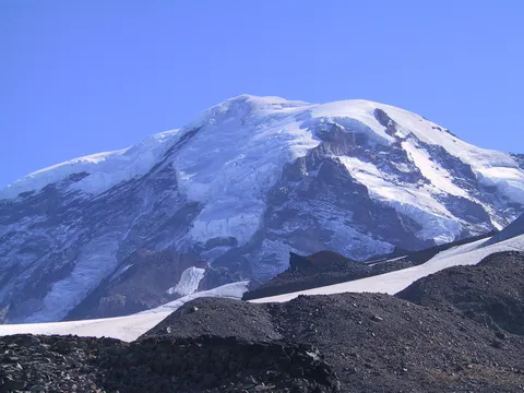
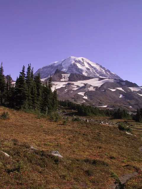
For some reason the sky was very hazy today which made for hazy pics... Even being only a couple miles from Mt. Rainier the pictures were hazy. And the wildflowers too are well beyond their prime. So without much adew I continued on up through the park. As I hiked along I notice several groups of people taking their leisure along the trail. It looks like a goodly amount of people get to the first part of Spray park and call it good. Continuing along the populations of people continued to diminish until at the crest of Spray and Seattle Parks I found myself alone. First time that has happened at the crest...and with 100+ cars in the parking lot. Go figure
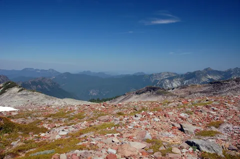
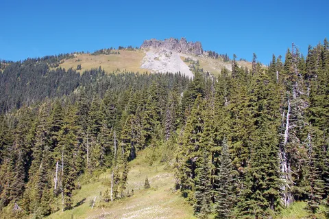
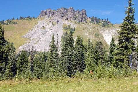
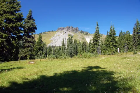
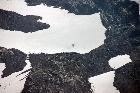
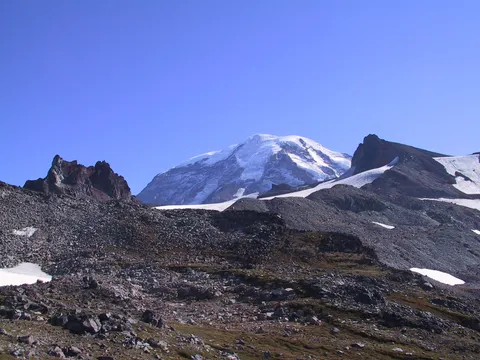
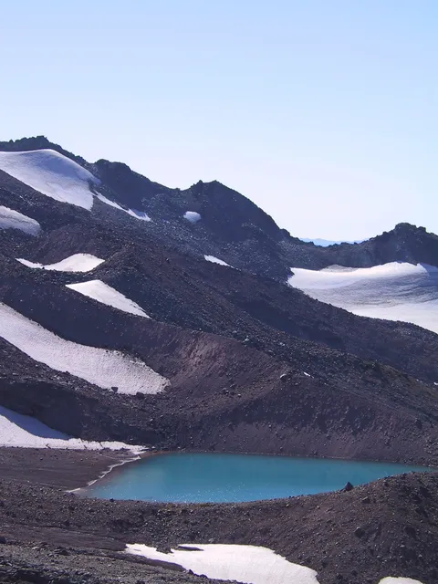
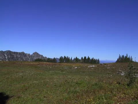
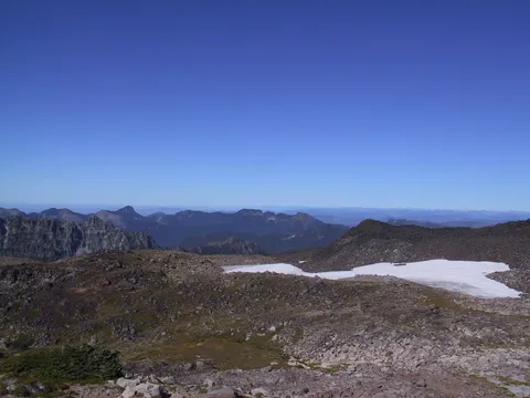
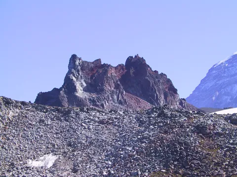
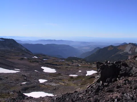
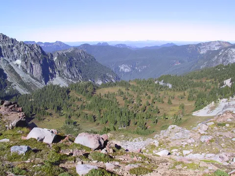
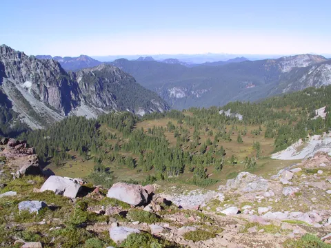
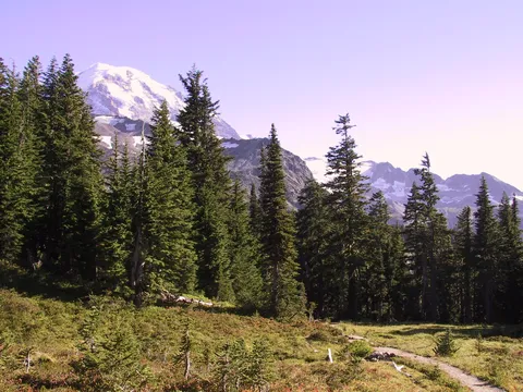
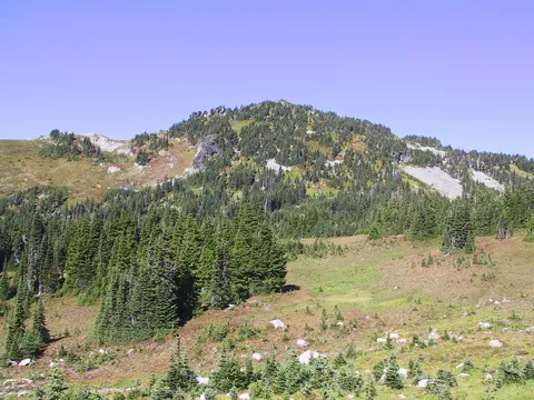
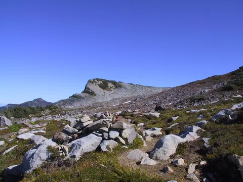
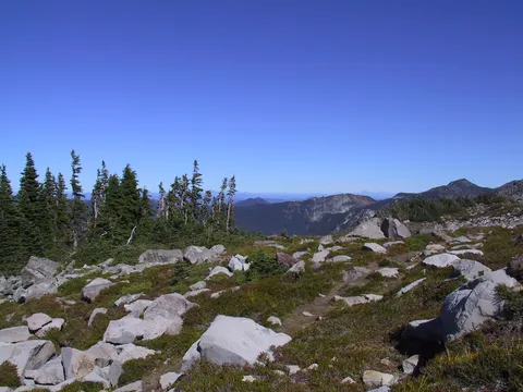
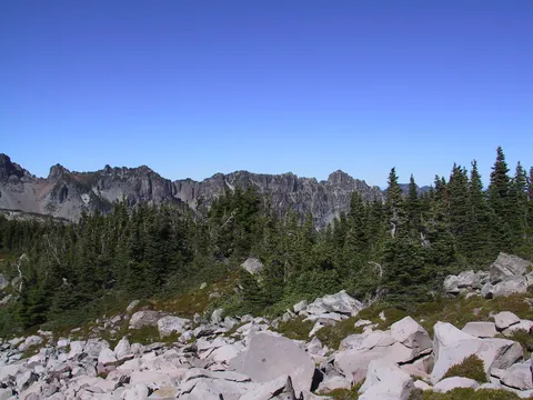
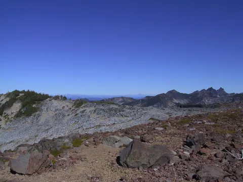
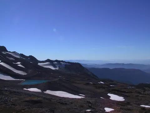
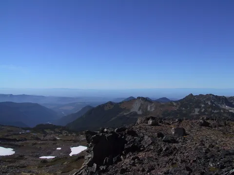
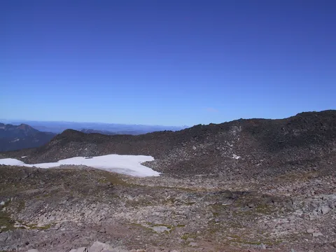
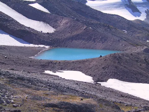
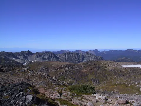
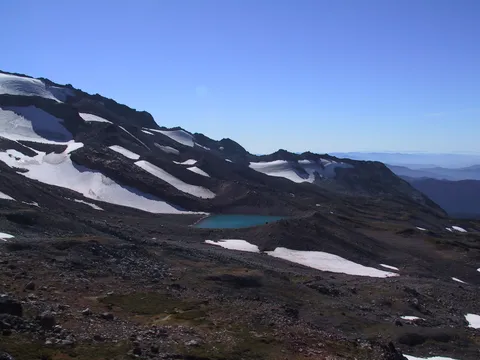
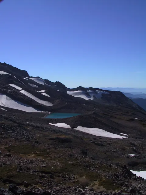
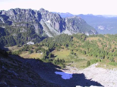
The wind did pick up as I progressed up the meadows in Spray Park. At the crest I opted to go up the spur trail which ultimately leads to Echo and Observation rocks albeit crossing snow fields is required. After about 15 minutes or so along this trail I picked a nice spot to pull off enjoy the scenery and have lunch. Surprisingly even on this warm day the wind was strong enough to make me feel cold after a while.
So I started my return, not much to report. I did stop off at Eagle Roost and did get a couple nice pictures there. The flies seemed pretty bad there, I maybe it is the continued meal ticket at that spot which makes them so numerous. And another 30-45 minutes later I was back to the trail head. A nice hike. The people weren't as numerous as I had initially thought they would be, however the flies were more numerous.
Photos 30
Highest rated first