
Carbon Glacier

3.8 out of 5, (9) Mt. Rainier National Park, WA Easy 3 trip reports · 130 photos
Round trip
8 mi
Elevation gain
1,400 ft
High point
3,600 ft
Difficulty
Easy
Pass
None
Dogs
No usually
Trip report

May 20, 2006

Easy 5 hours Verdict: Good
★★★★★ 3.3 out of 5 from 3 votes · log in to vote

Directions: From Puyallup drive 13 miles east on Highway 410 to Buckley. Turn right (south) onto Highway 165. Proceed to the bridge over the Carbon River Gorge and then bear left to Mount Rainier National Parks Carbon River entrance. Proceed five miles to the trailhead at the roads end at Ipsut Creek Campground.

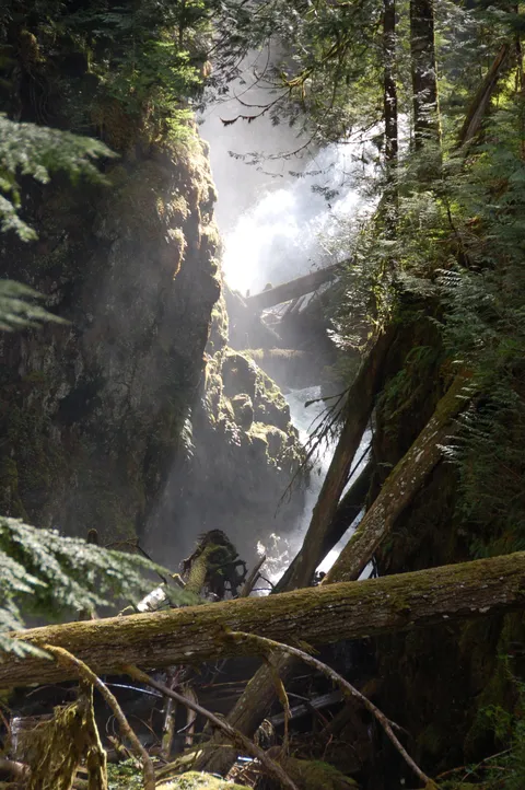
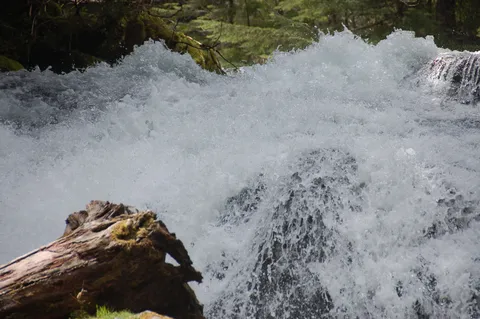
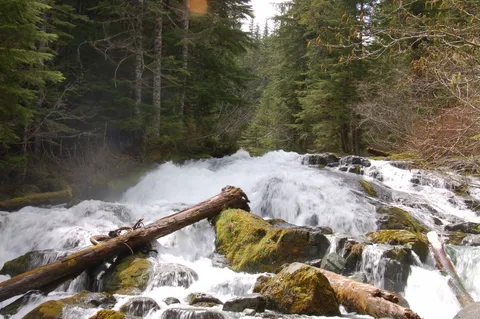
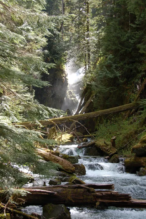
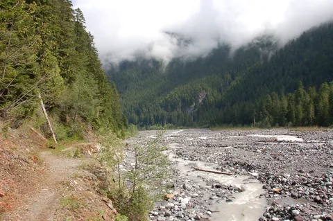
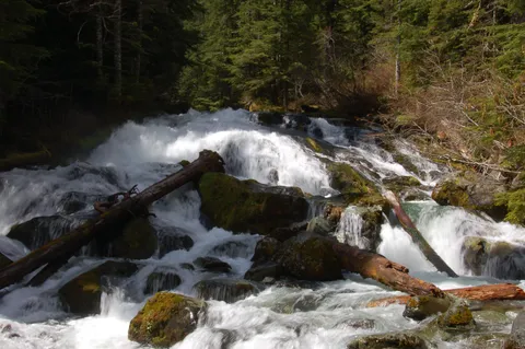
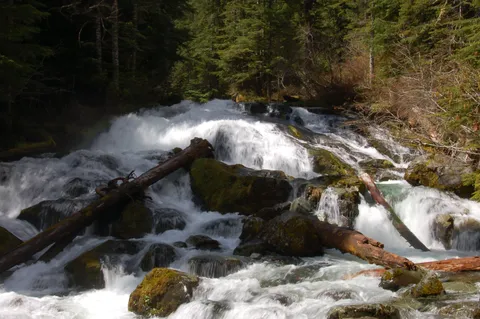
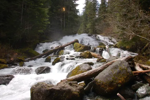
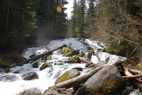
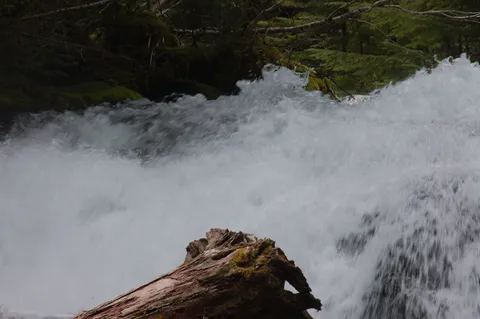
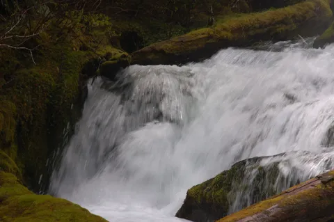
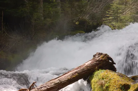
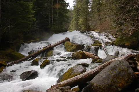
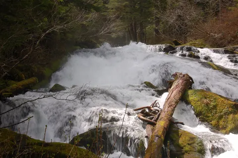
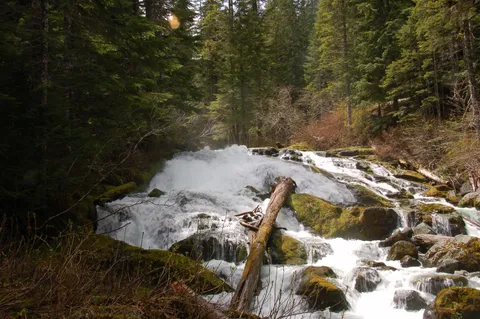
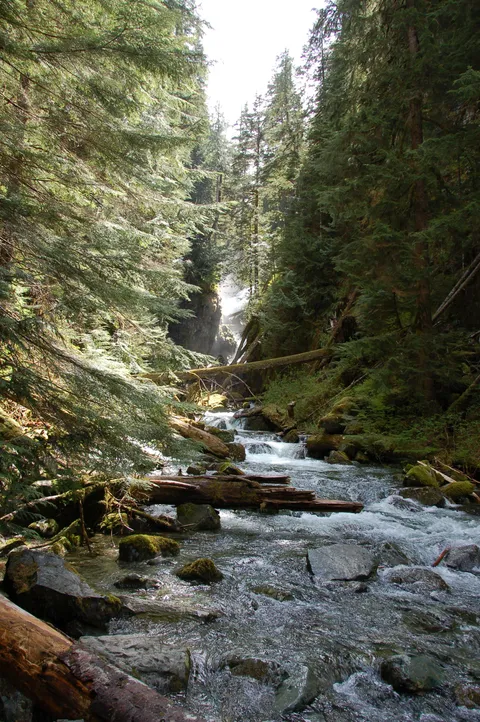
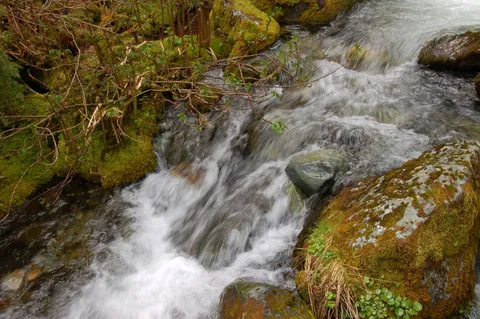
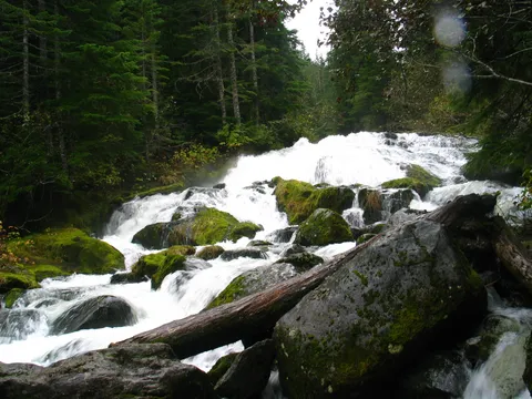
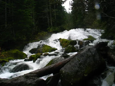
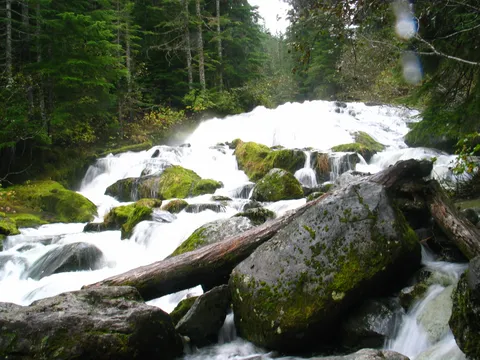
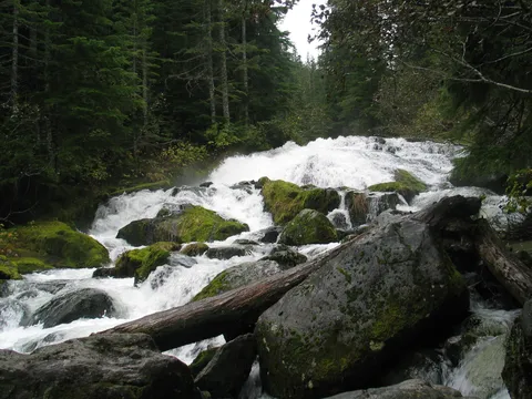
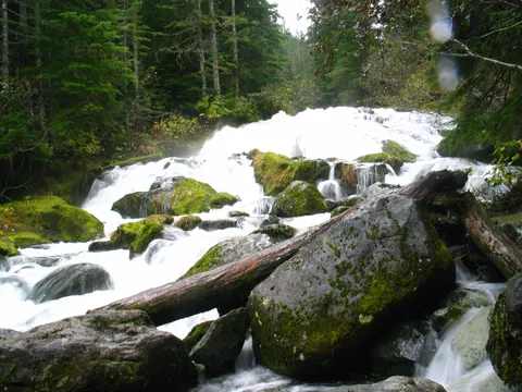
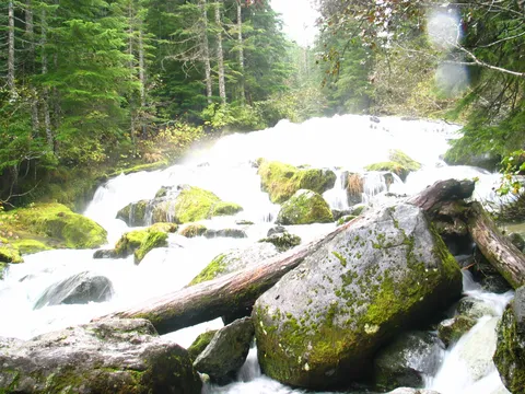
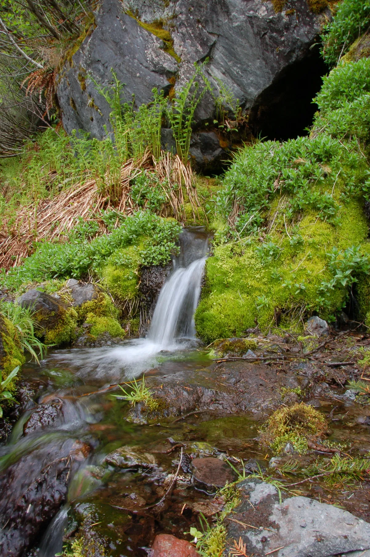
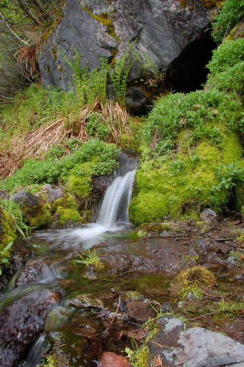
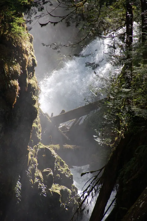
Trail Notes: So Kent and I hadn't been on a hike in a while and given the low elevation of the snow pack picked Carbon Glacier.  The weather for today predicted rain and I was hopeful that I could get a few time lapsed shots of Ipsut Falls with good cloud cover.  Happily or not so much so, it turned out that that we got mostly sun for the balance of the day.

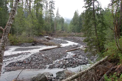
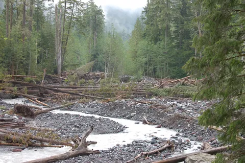
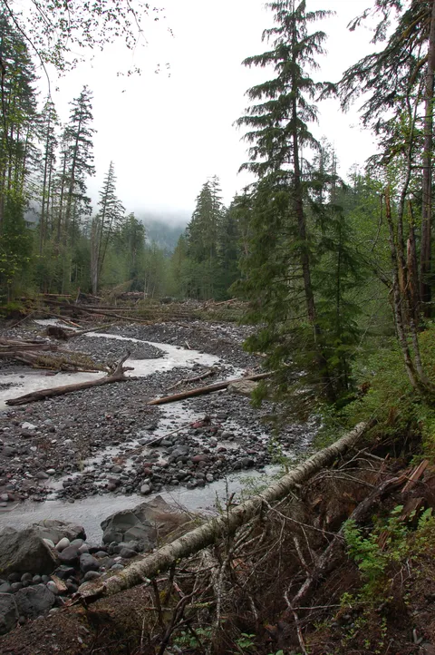
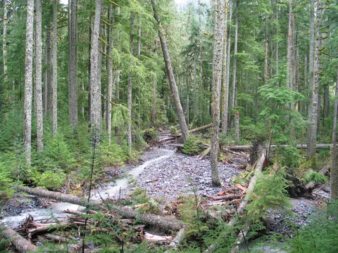
The trail appears to have been washed out in a couple sections but there were trail crews hard at work repairing the dammage.  Nothing to be worried about. I guess there were a couple highlights on this trip.  One was the prospect of seeing a bear, past the glacier, and the other was using my new camera.  As far as the bear goes, we didn't actually get any first hand experience, but there were several reports from others that the bear was near Dick Creek Camp.  I have heard reports in years gone by that there is a bear which lives up at Mystic Lake and wouldn't surprise me if this bear was in fact that bear.

On the camera front, it was a blast, and I am certainly excited about advancing my photography skills.  The only down side is the new camera is about 2-3x times as heavy as my old canon g3.

Photos 65

Highest rated first
Trip report

October 17, 2004

Easy 4 hours Verdict: Okay
★★★★★ 4.0 out of 5 from 1 vote · log in to vote

Directions: From Puyallup drive 13 miles east on Highway 410 to Buckley. Turn right (south) onto Highway 165. Proceed to the bridge over the Carbon River Gorge and then bear left to Mount Rainier National Parks Carbon River entrance. Proceed five miles to the trailhead at the roads end at Ipsut Creek Campground.

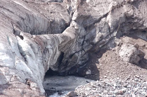
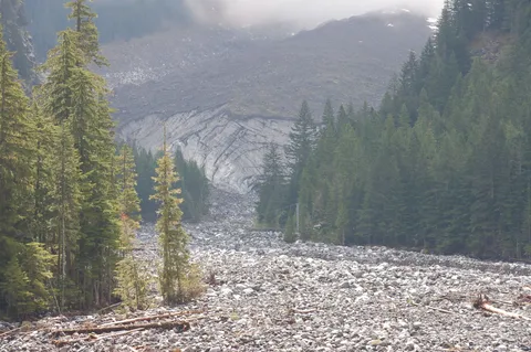
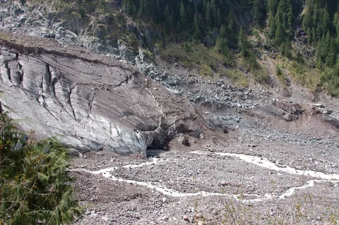
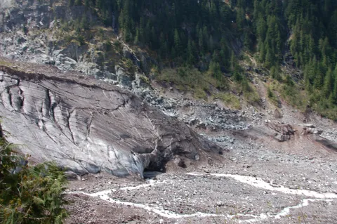
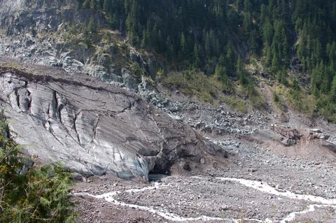
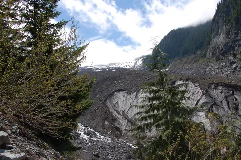
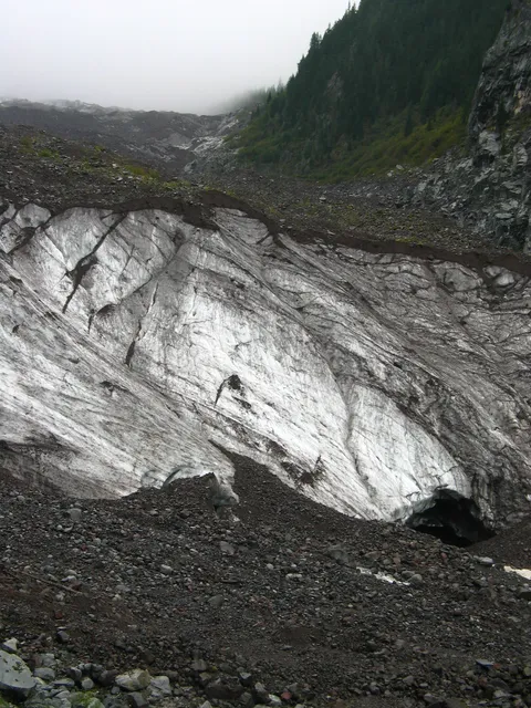
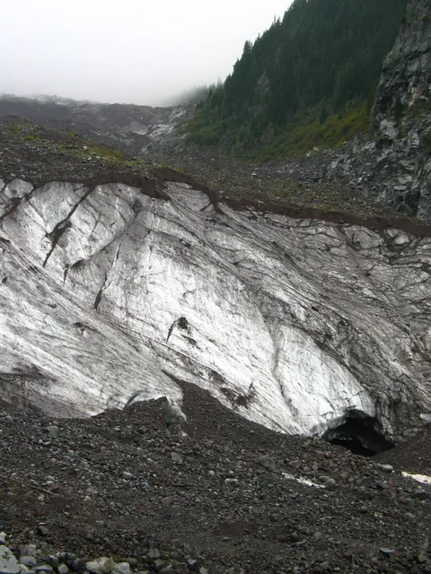
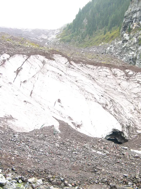
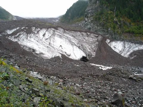
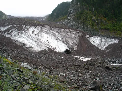
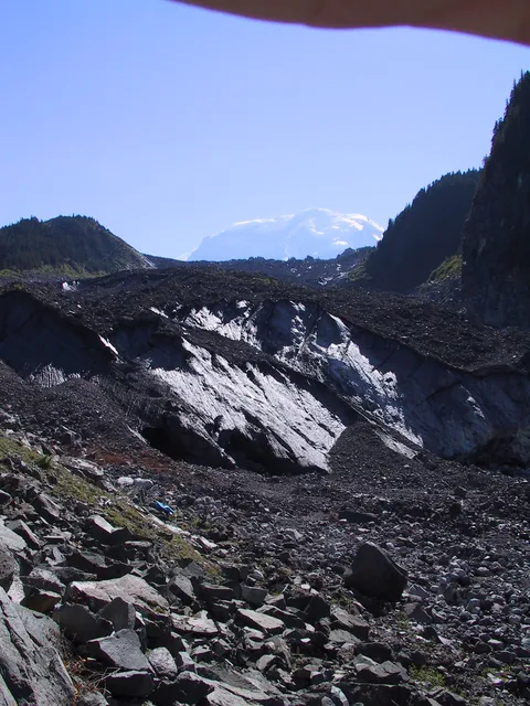
Trail notes: Decided to take a quick hike today and hadn't been to the Carbon Glacier in a while so thought we would make a go of it. The Carbon Glacier is the lowest glacier in the Continental United States.

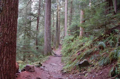
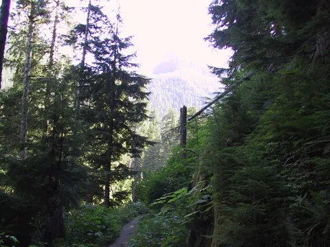
The trail itself is quite level and the going is very easy. There is only one section which isn't very easy, and still it is not even moderate. The total time to the Glacier is about 1.5 to 2 hours depending on the pace. Overall this is a good hike for the shoulder season, and for times you are really looking more to enjoy the surroundings than climb up the scenery.

Photos 18

Highest rated first
Trip report

September 21, 2002

Easy 5 hours Verdict: Good
★★★★★ 4.0 out of 5 from 5 votes · log in to vote

Directions: From Puyallup drive 13 miles east on Highway 410 to Buckley. Turn right (south) onto Highway 165. Proceed to the bridge over the Carbon River Gorge and then bear left to Mount Rainier National Parks Carbon River entrance. Proceed five miles to the trailhead at the roads end at Ipsut Creek Campground.

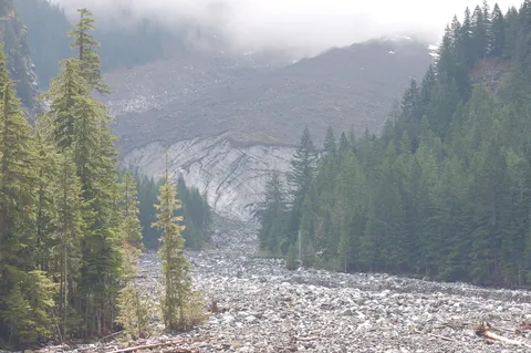
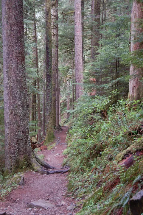
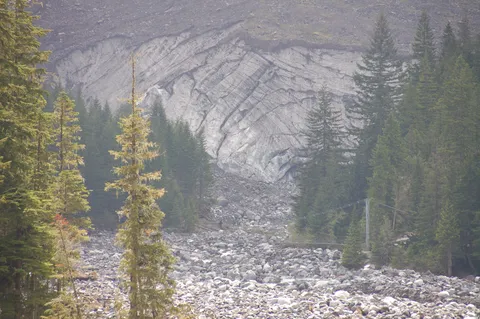
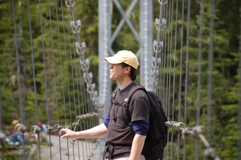
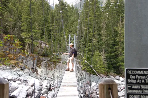
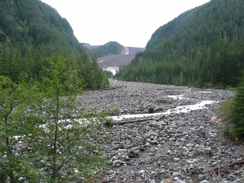
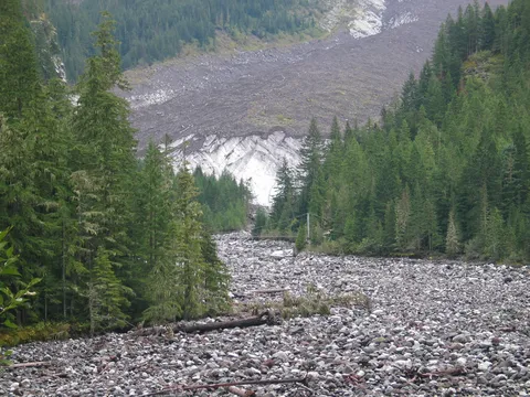
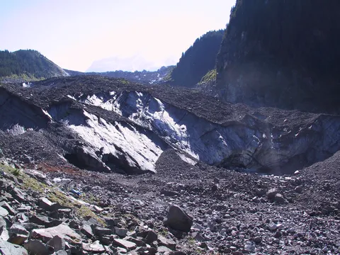
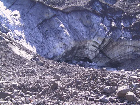
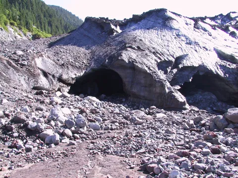
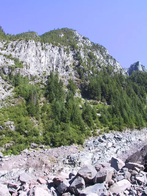
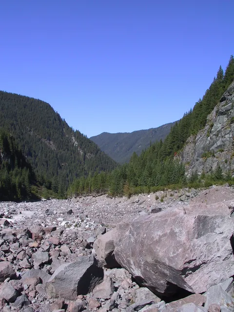
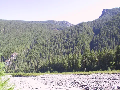
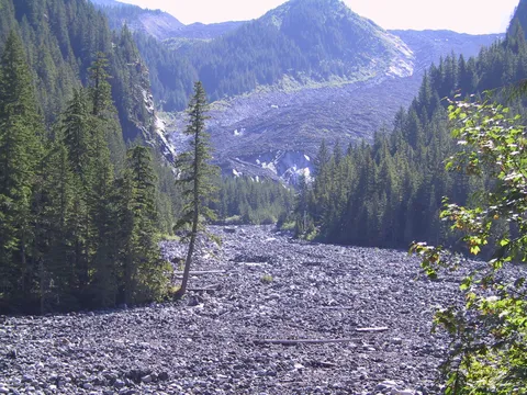
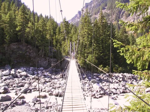
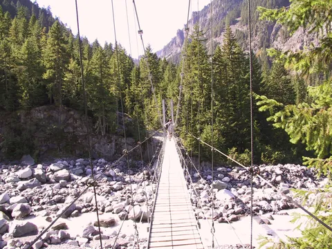
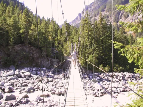
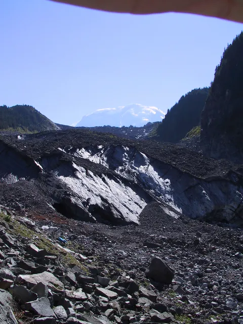
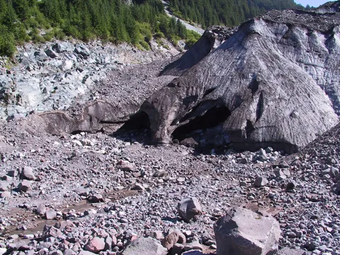
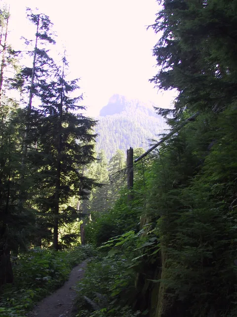
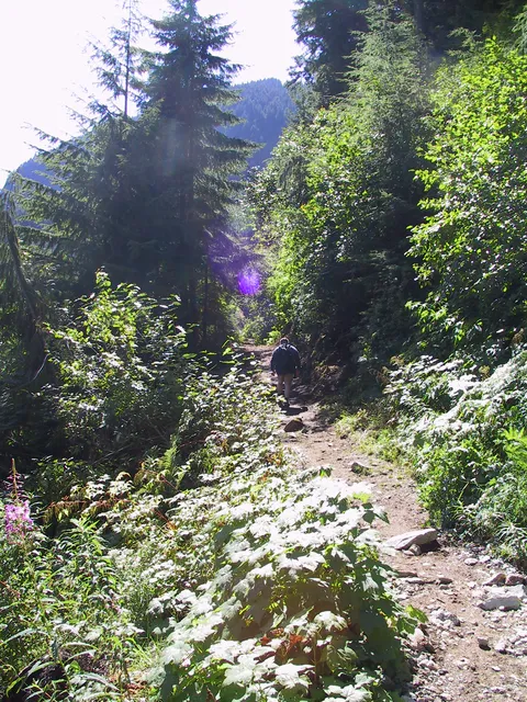
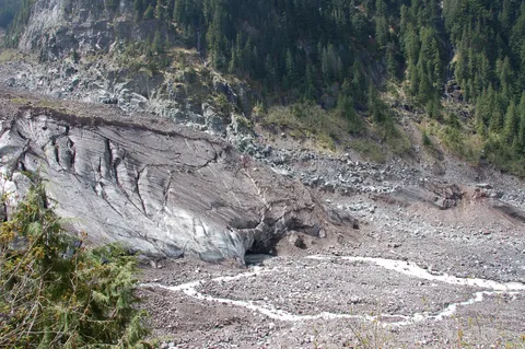
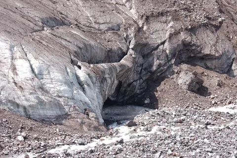
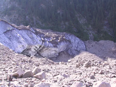
Trail notes: Many a North westerner got his or her first close rub with a glacier here, on a trail that can be an easy day hike to the Carbon Glacier or an overnight trip/exhausting day hike to Mystic Lake. The Carbon Glacier Trail, actually part of Rainiers Wonderland Trail, leads gradually upward two miles from Ipsut Creek Campground to a junction with the Northern Loop Trail and then turns upward along the Carbon River to a junction with the Spray Park/Seattle Park Trail at about three miles. Just beyond here you come to a rather lanky suspension bridge over the river. The bridge is not for the faint-hearted, who can bypass it by backtracking, hiking east OJ mile on the Northern Loop Trail, then turning right and proceeding up the other side of the river on the Mystic Lake Trail. Once safely across, turn right and follow the moraine steeply upward to an excellent viewpoint of the glacier, the lowest-elevation glacier in the Lower 48 states and one of the more melt-resistant ice fingers on Rainier. Most people stop here at about 3.5 miles; the trail beyond shows why, as it gets steep, rocky, and downright ornery for approximately the next mile up to Dick Creek Camp.

Beyond, you enter the delightful Moraine Park area, where wildflowers and views collide to leave you spellbound. Continue onward and upward on the Wonderland Trail toward Curtis Ridge and you find yourself at Mystic Lake, so named because early explorers noticed an unexplained whirlpool in the water. Look for it yourself by plunging your head into the icy water, removing it, then screaming quite loudly. Shake your head and close your eyes. See the spinning water? We thought you would. When you recover, gaze south at to-die-for views of Rainiers extremely handsome north face, marked by the unmistakable, 3,500-foot rock face known as the Willis Wall. You also find a summer ranger camp here and, rest assured, the ranger will remind you to camp in designated sites one-half mile farther down the trail, not at the lake. Heed the advice.

Photos 47

Highest rated first
Reviews 5

carbon glacier

★★★★☆
Nick B. · Aug 25, 2007 · Moderate +

Beautiful hike, but a long day.  The road to the trail head is closed because it was washed out in the Dec. storm, and looks pretty impossible to fix, so don't wait for it to open anytime soon, if ever.  This means you have to walk 5 miles to the trailhead, which adds 10 miles roundtrip to your hike.  Don't do this hike unless  you are in good shape.  Bring more than one bottle of water along with lunch and snacks.  Once you get to the trailhead, it's a beautiful hike thru lot's of lush vegitation.  Elevation is not high, you go up, but gradually.  The hike to the suspension bridge takes longer than it looks on the map, as well as what other hikers will tell you.  But the payoff is great.  A terrific view of the glacier and a fun walk over the bridge. (If you are very afraid of heights, don't go over the bridge).  If you choose not to do the bridge, walk only a 1/2 mile staight up to a magnificant view of the glacier and Mt. Ranier.  Going back is an easy hike, but by the time you get to the trailhead, and have another 5 miles to go back to your car, you will be very tired.  Total hike took 8 hours,  for a total of 17-18 miles round trip, so start early.

Still a good hike

★★★☆☆
WhoNut · Jul 16, 2007 · Easy +

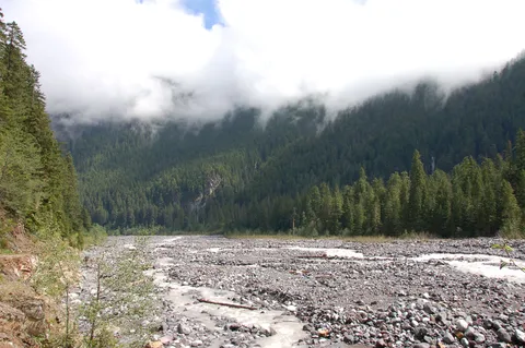
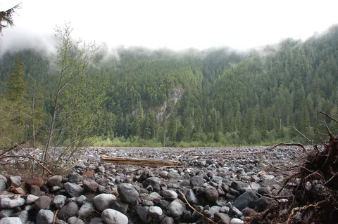
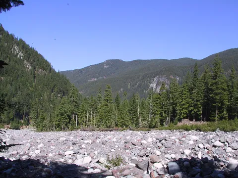
My son and I hiked this on Saturday.  The road from the Ranger station to Ipsut CG (about 5 miles) is closed due to last December's floods, and I can't imagine it being rebuilt.  Chalk one up for Mother Nature!  Anyway, we rode our bikes up the old road, and hiked from the described trailhead.  Make sure you get updated maps, as the floods have also changed the glacier approach.  The hike itself is fairly mundane, with only a couple of brief glimpses at the mountaintop.  Some of the river crossings are interesting, including one log bridge without a handrail.  Be careful...I seem to remember a fatality here recently.   The glacier is a nice payoff, with some great spots for lunch.  Bottom line for me: 10 miles biking + 7 miles hiking = No Crowds!

Carbon Glacier

★★★☆☆
carol · Jun 17, 2006 · Easy +

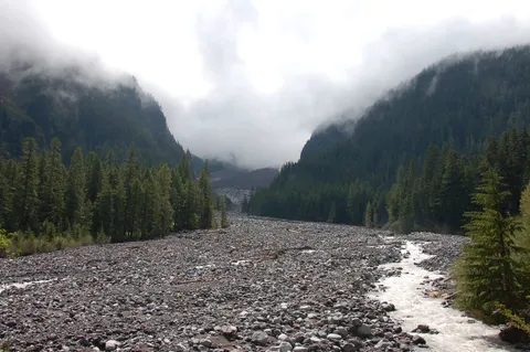
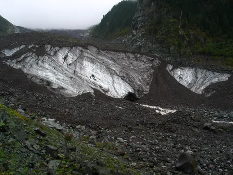
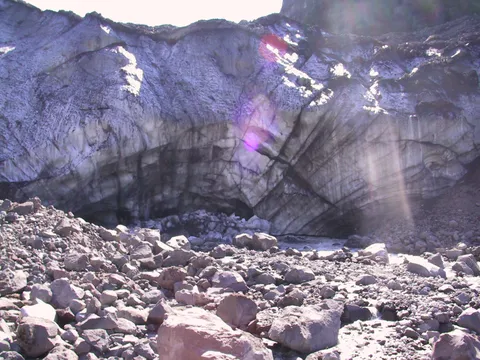
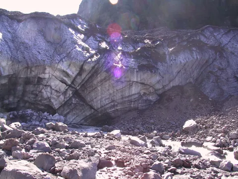
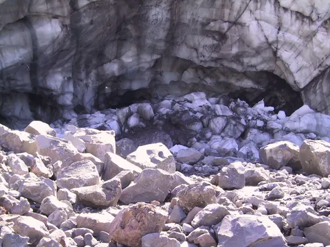
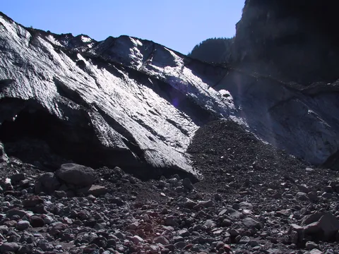
Lots of vehicles at the trailhead and lots of people on the trail today!  The trail is flat, wide, and in good condition.  What I liked most was the suspension bridge on this trail.  The glacier itself does not look like your typical glacier, it looks dirty!  This trail has lots of options, if you continue past Carbon Glacier, it goes to Moraine Park and then to Mystic Lake.  Or it branches off to Spray or Seattle Park.  1.25 hrs up and 1.5 hrs down.

★★★★☆
Akela · Mar 30, 2006 · Moderate

The journey in to the trailhead was a difficult one on the vehicles, and it saddens me that the subsequent erosion is going to lead to the eventual inaccessability of this point by vehicle travel.  We did this trail in June, and even at that time of year foot traffic was not all that heavy.  I rated it a difficulty of 3 because there are parts that are definitely a workout.  Other parts are quite easy, and in all the trail provides quite a variety.  It's a very doable hike for educated novices, as I took a group of 10-year-old Webelos Scouts on this one for their first *real* hike.  Very few complaints from the kids.  The length of the hike and the variety of grade (as well as use of this site!) allowed for ample pre-hike planning by the kids, as well as plenty of good views to look at and keep their interest.  Wonderful views of the glacier at the end provided a great reward.   There is plenty of devil's club growing along the lower half, so that's also a good opportunity to teach kids what to look for and avoid.
See it now, while you can

★★★★☆
beth elliott · Aug 16, 2004 · Easy +

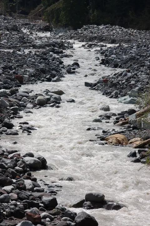
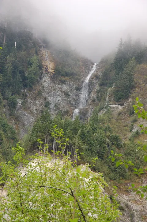
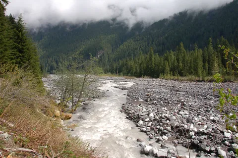
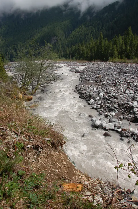
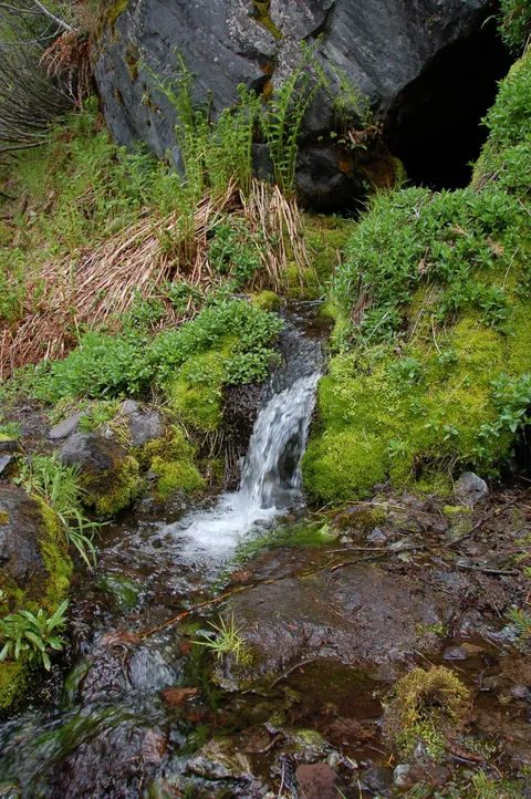
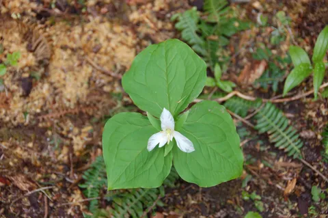
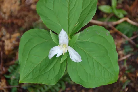
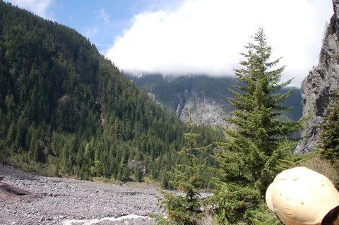
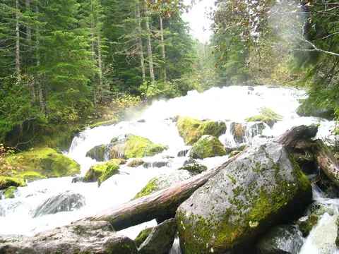
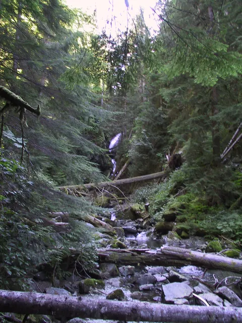
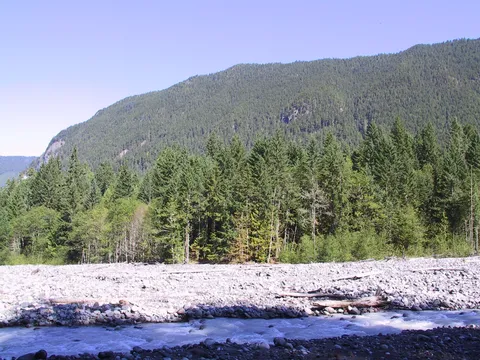
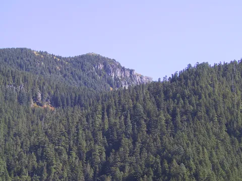
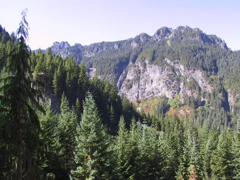
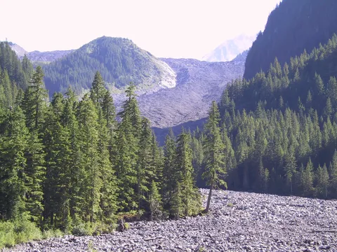
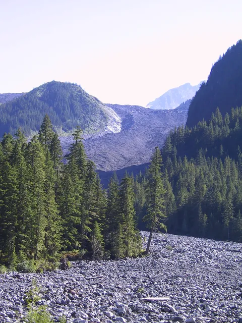
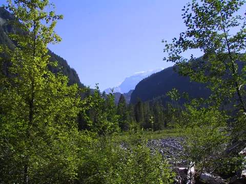
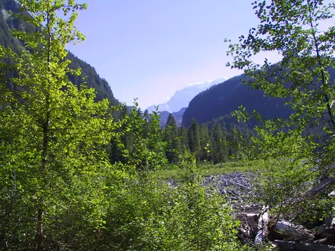
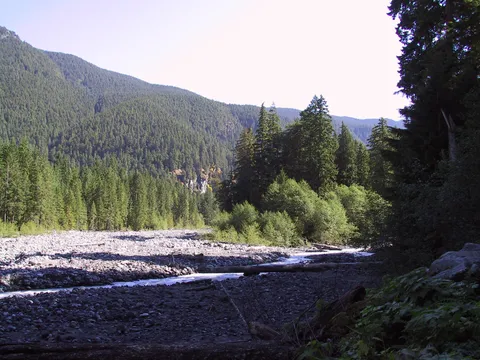
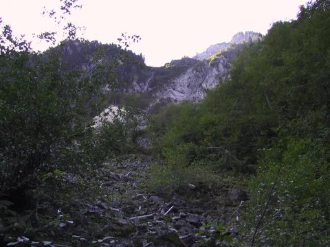
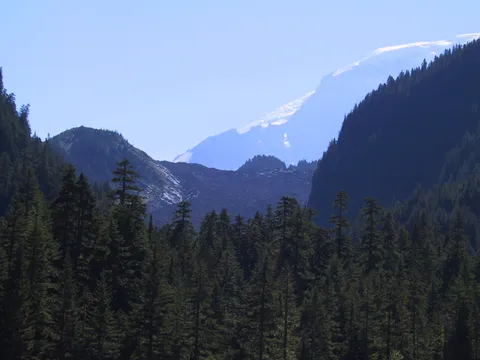
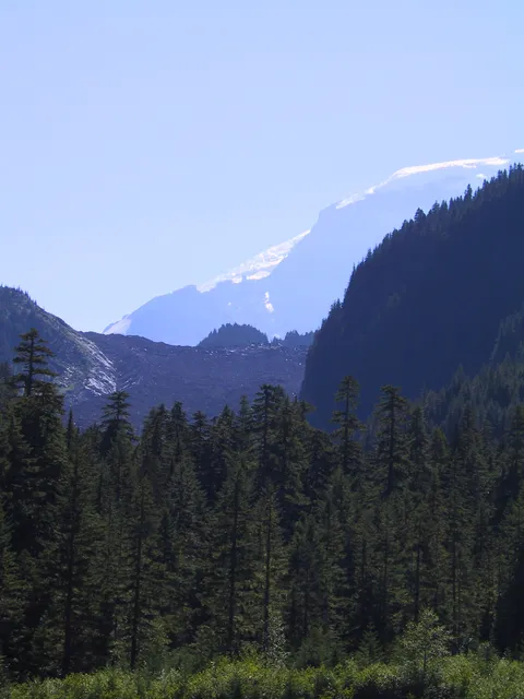
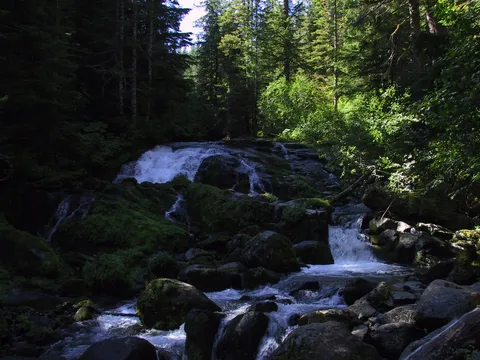
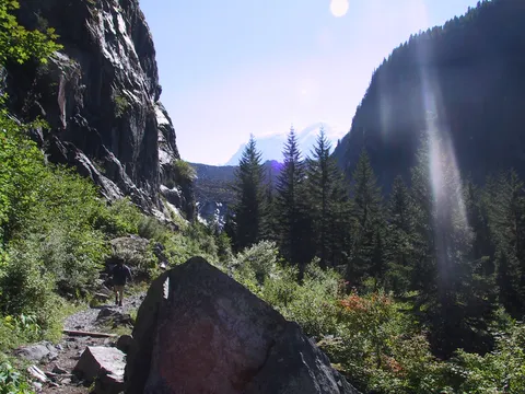
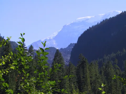
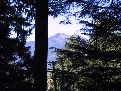
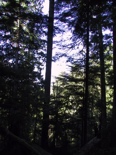
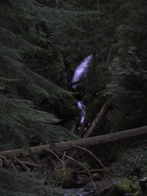
At some point, the road to this trailhead will get washed out beyond repair, and there will be no detour cut in the small temperate rain forest through which it passes. Bummer. The view of the glacier with Rainier's peak above it is something you won't get this close to an urban area anywhere else, and any endorphins left unreleased by climbing 1400' in 3.5 miles will certainly kick loose at the sight. Most of the trail is forest floor, with stretches of it along the rushing, milky Carbon River. There's another view upward to a craggy peak along the trail, which is dotted with wildflowers here and there. The suggested counterclockwise loop takes you over a quaint suspension footbridge before you head onto a steep stretch for the best glacier view (or to continue further for a serious rear-end-kicking hike). Overall, this is a good workout in very pleasant surroundings (at least during the brief NW sun season), with a couple of breath-taking views, river and bird sounds, and a short spur to a pretty waterfall. There were a fair number of people on the trail on a weekday, but it wasn't a freeway. I'm told, though, that this is a popular trail and weekends may be a different story. Two hiker rating: It's very doable, but 7 mi R/T and 1400' climb is more than a Sunday stroll. Four star rating: The visual payoff may not be sudden Deity-invocation level, but the glacier view is both a rarity and a cool sight in its own right. A hike on this trail makes for a day that's exhilarating, both physically and aesthetically, one that's worth checking out while the road from ranger station to trail head holds in that one iffy spot (August 2004: take care with the rocks and dips in that one stretch; nothing really treacherous for the non-stupid).
Log in or sign up to write a review.