
Directions: From Enumclaw drive 43 miles east on Highway 410 to the Mount Rainier National Park White River Entrance Station. Follow the Sunrise Road 17 miles to the large parking lot and visitor center at the roads end.
Trail Notes: I have done the Borroughs Mountains hike before, but then it appears stopped short of going to the end of the trail. In total the Burroughs Mountain trail is about 10 miles long.
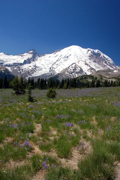
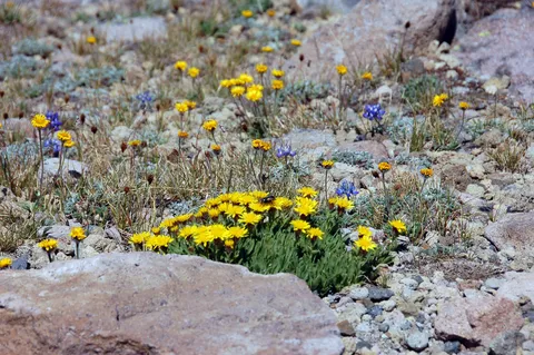
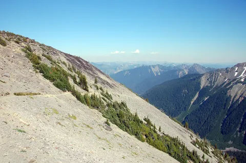
The hike starts out from the Sunrise Visitor center. For the first 30-40 minutes you walk along the Sour Dough ridge traverse which offerers nice views of Mt. Rainier, and to the north of Glacier Peak if it is a clear day. Alternatively you can do this hike by taking the Sunrise Rim trail up the South side of the Burroughs Mountains. If I was to do this hike again I would be very tempted to take this route on the way out, and come back on the Sourdough traverse on the way back. The upside to taking the Sunrise rim trail is that views or Mt. Rainier are nicer and the scenery is contains many more wildflowers. Since this is the best area for wildflowers on the hike I would choose to take this route alone. However, the downside to this route is that the trail is about 1/3-1/2 mile longer than taking the Sour Dough ridge. Also, the trail is a bit steeper than the Traverse first approach.
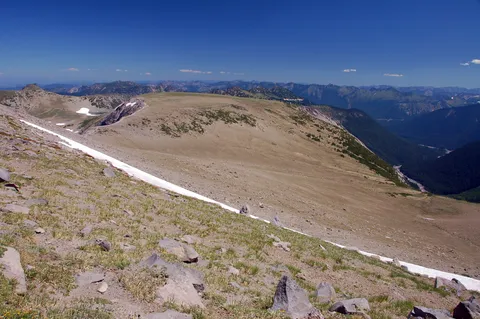
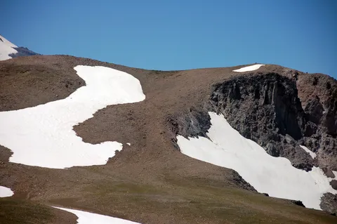
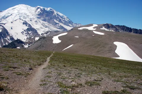
At any rate after making my way to Frozen lake I opted to take the left most trail and head up toward the Burroughs Mountains. In previous weeks I had noticed several snow packs on the north facing slope which the trail crosses. A sign still sits on the trail advising of the use of an ice Axe. Frankly I didn't feel risky at all on the sections of snow, and they should be melted out in a couple weeks.
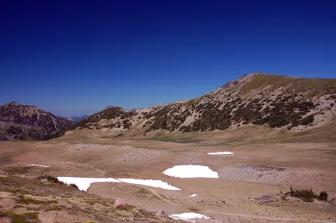
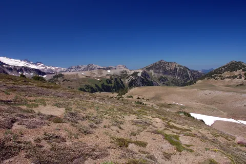
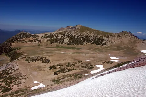
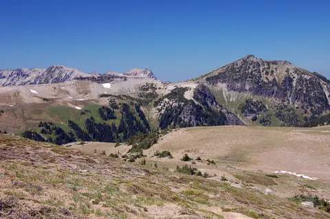
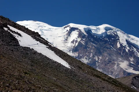
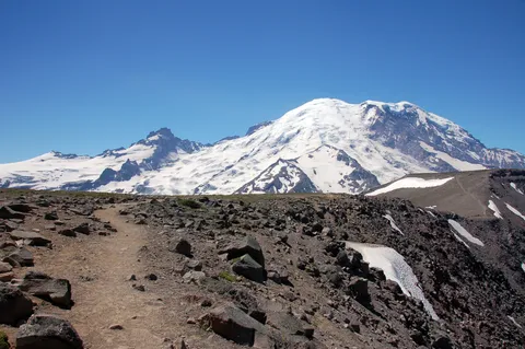
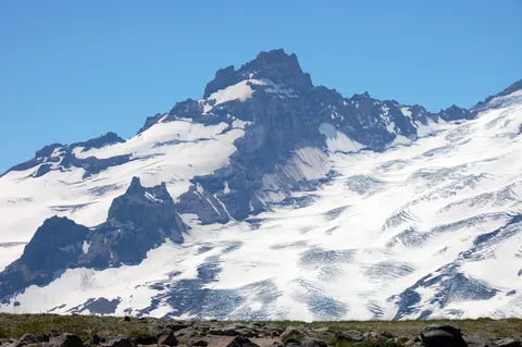
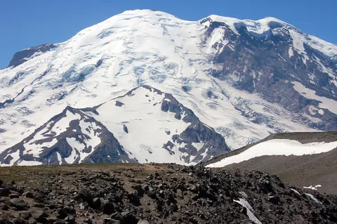
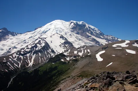
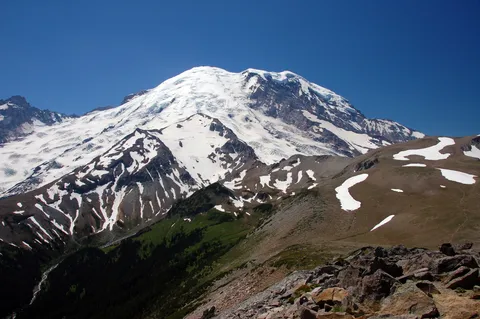
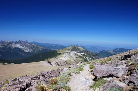
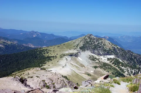
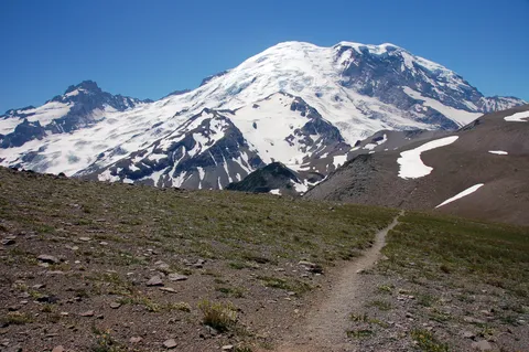
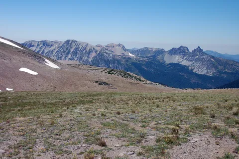
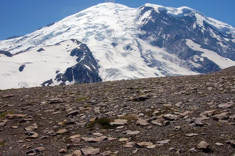
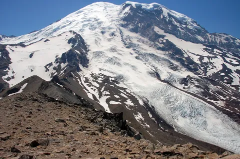
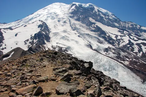
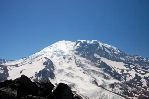
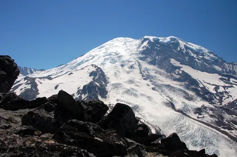
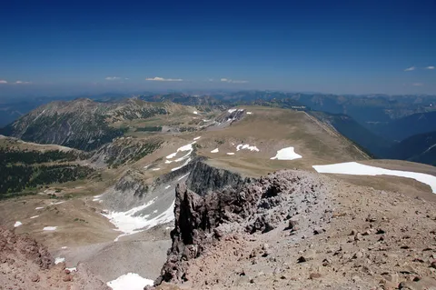
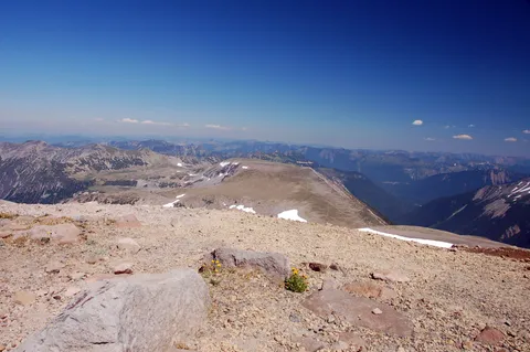
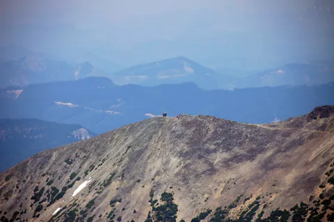
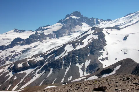
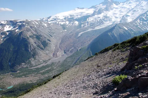
The first climb delivers you to a fairly level plateau with a super view of Mt. Rainier. The surroundings are devoid of trees and wild flowers grow close to the ground only. From here you can see the second Burroughs in the distance. As you move along the ridge, you will also have a very nice view to the north of the Fremont Lookout and Berkeley Park. After about 20 minutes or so you make your way up to the top of the second Burroughs which is where I had previously considered the end of the trail. However, this time I spied a trail to the west continuing on albeit down into a wide valley and then up beyond my present location by quite a bit.
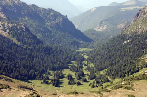
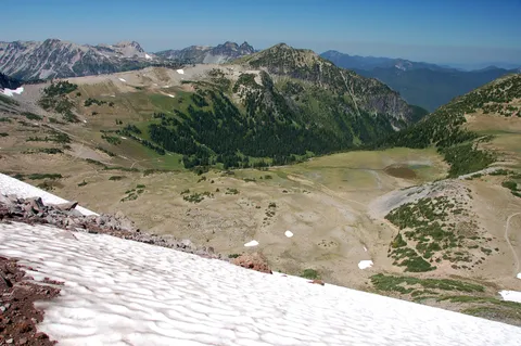
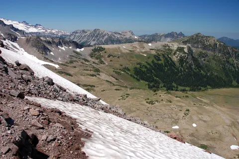
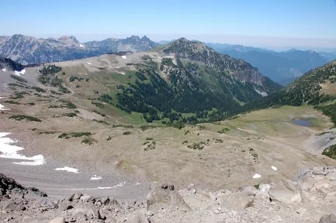
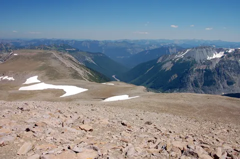
Being kind of early in the day I decided to go for it and am very glad I did. I ran into some people as I was headed down to the valley and asked how long it was. They told me 1.5-2 hours. In truth it was more like an hour or so. The trail from here gradually switchbacks down the slope to a junction where one might either head down to the White River campgrounds or continue on out toward the western most Burroughs. I chose the latter.
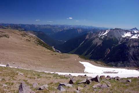
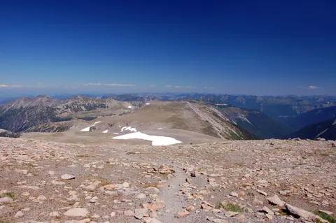
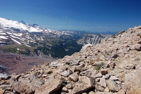
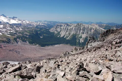
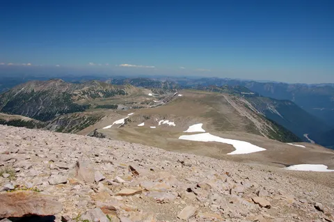
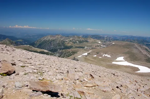
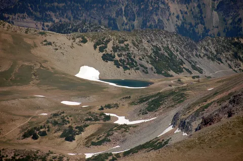
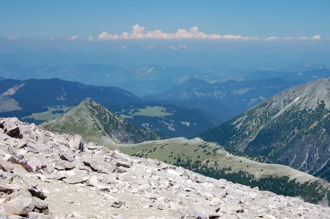
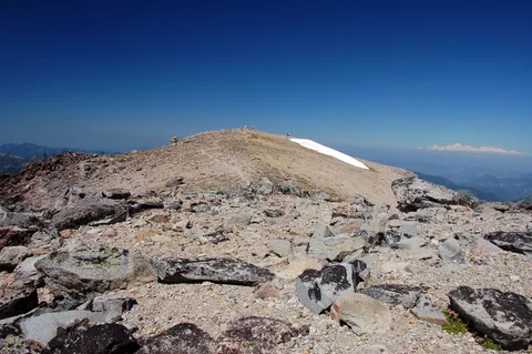
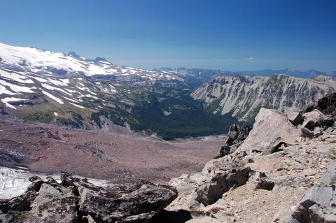
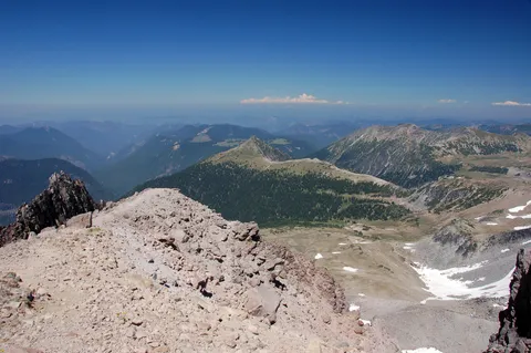
Ultimately you meet the bottom of the traverse and can look up in both directions to see rolling hills which from this location look quite steep. In truth it isn't too bad at all, and there is a nice snow field to cool down en route to the western most Burroughs. As I nerd the top, I noticed the air was a bit thinner but it wasn't really bad. Upon reaching the top of the Western Burroughs I had lunch and enjoyed the view.
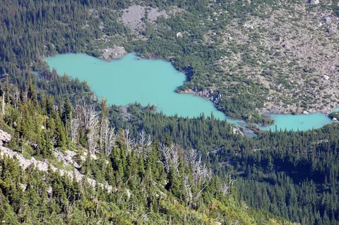
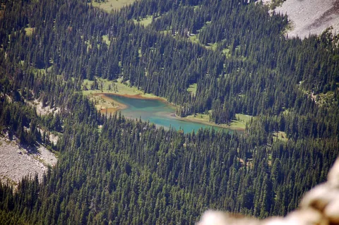
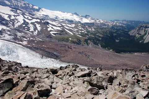
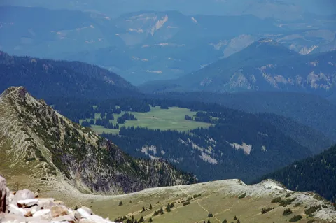
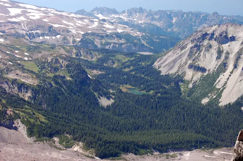
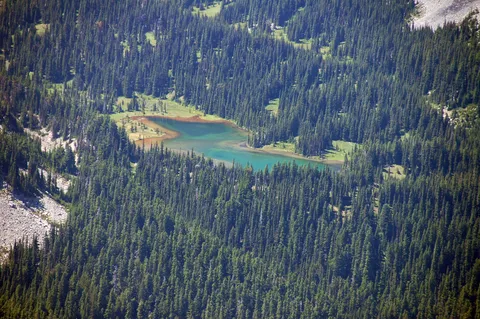
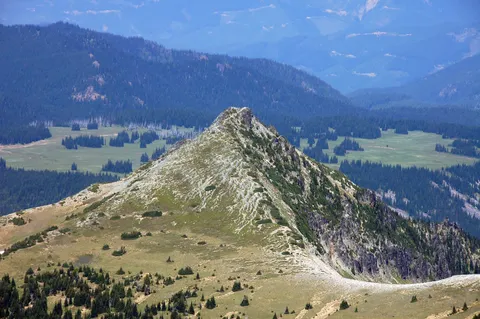
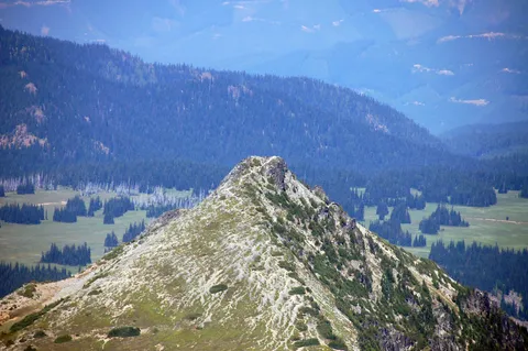
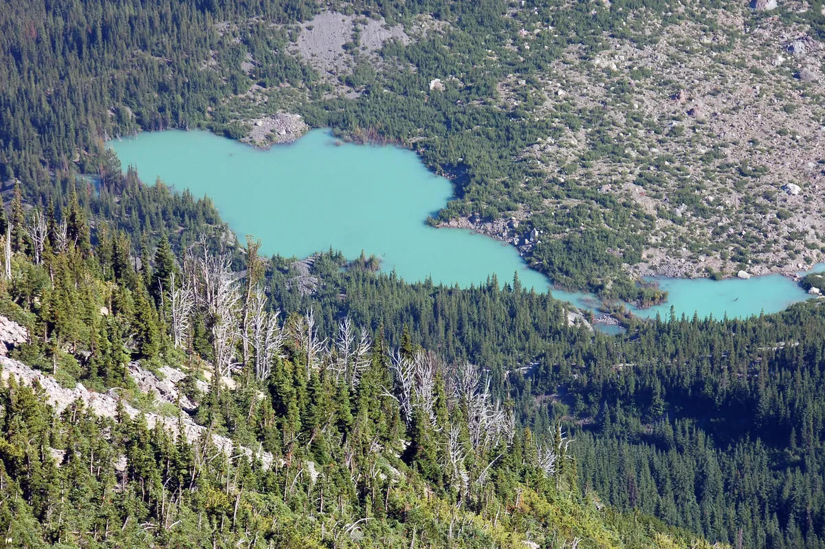
For me I was very surprised that I had such a good view of Mystic Lake which is right there across the Winthrop glacier. Also in the distance a bit behind you is Skyscraper Mtn which is also and excellent hike. After a while I was joined by some man who started talking to me only to later realize that I was not his son I guess the climb is more difficult for some people.
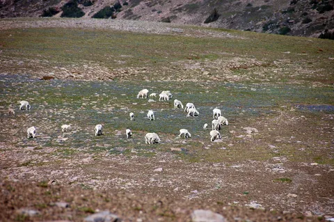
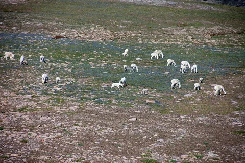
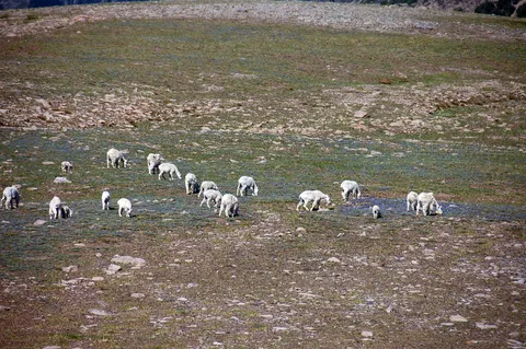
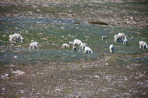
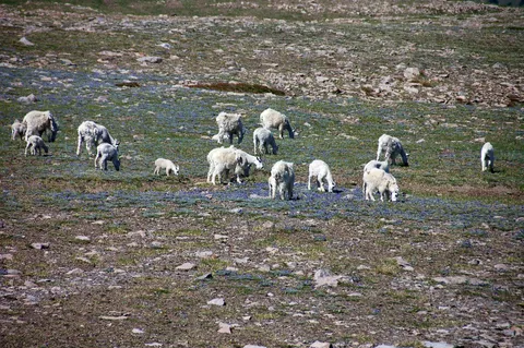
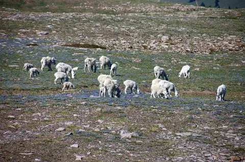
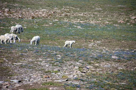
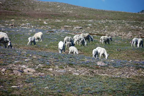
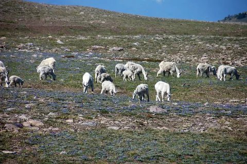
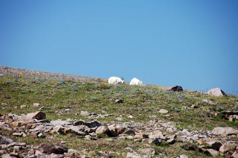
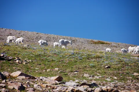
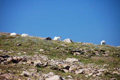
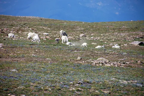
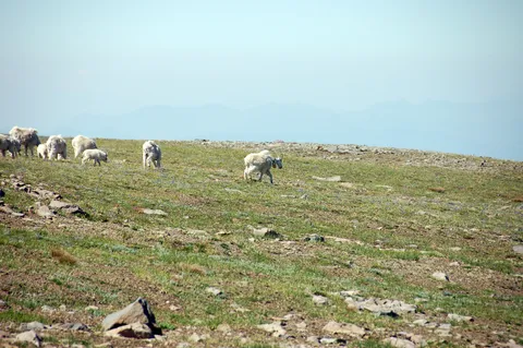
The highlight of the hike for me was the return trip where I was able to spy a herd of Mountain Goats. It wasn't the first time I have seen them, but it was the largest herd and the closest I have been. It was a wonderful experience, and I stopped waiting for the goats in hopes they would walk toward where I was on the trail. Just as I was convinced they wouldn't walk up that fate was sealed by two dopey teenagers who went off the trail and essentially chased the goats in hope of getting a close up picture with them. I have to admit, I was really hoping the goats would put their horns to use, but alas were content to simply move away from the kids. The wildflowers and ground they tread on unfortunately wasn't afforded this luxury.
So they returned from whence they came and I followed them after a while, still hoping the goats would walk my way. Not to be. Once I returned up to the second Burroughs I found the kids eating lunch and gave em a dirty look. Best I could muster, they were just clueless. I don't think they meant any harm, they were just stupid. The rest of the hike was nice on the return, and as I wrote earlier I took the Sunrise loop on the return.
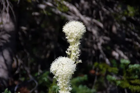
So I have to give this hike a big thumbs up. If you are looking for Mountain Goats I think this is your best chance of seeing them. I haven't seen them in any other area of the park. Also you can mate some nice wild flowers and views into a hike which can be trimmed to any length depending on how much gas you have in the tank.
Photos 72
Highest rated first