
Directions: Drive South from Seattle on I5 to N405. Follow 405 to S167 and continue down to Sumner, taking highway 410 east up to Chinook pass (about 60 miles). Once over Chinook pass continue about 10 miles taking the Fifes trail head turn out on the left of the road. It is about 1/2 mile east of the view point. I would park in the parking area immediatly off the road rather than following the road further unless you have 4 wheel drive.
Trail Notes: I did this hike by myself figuring I still had time to make it back to city for the fireworks in the evening. The Fifes trail starts off in decidious scrub with a few Pine trees thrown into the mix for good measure. The first part of the trail has nothing redeeming going for it save for the fact that the trail is relatively level. There is an occasional undulation to be sure, and enough that the hiker continually is wondering when the trail is going to get down to business.
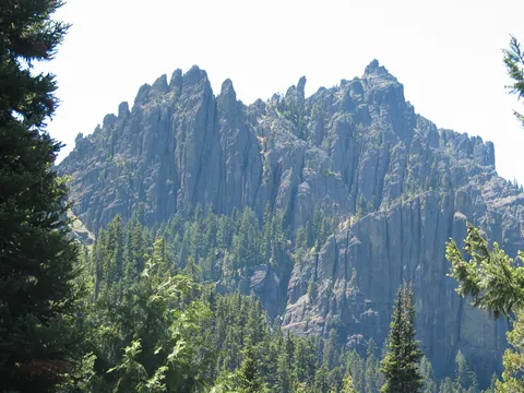
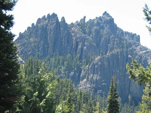
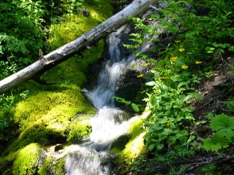
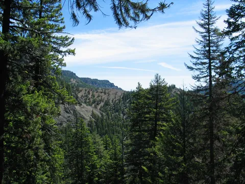
After about 40 minutes of so, one makes their way up Wash Creek and nears the headwall of the valley. Once here, the trail takes on a different demeanor spiking up the slope in no uncertain terms. At first the grade of the trail isn't too bad, but continues to steepen. Did I mention the views? Oh, yeah there aren't so many of those here. We'll after about a half hour you will begin to get spotlight views to the east of some of the Fifes ridge. About this time too the trail becomes steeper still. Fortunatly there are trees overhead so there is shade, however there was not wind. At any rate the trail continues on for about another 1/2 hour and ultimately begins to level out. By this point the undergrown has changes to more montain types and the forest understory has opened up.
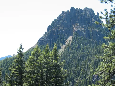
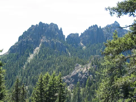
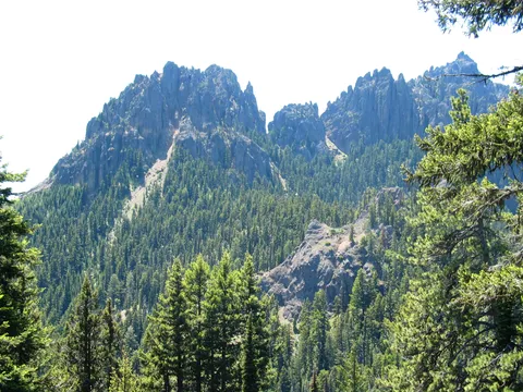
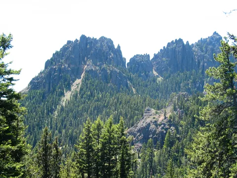
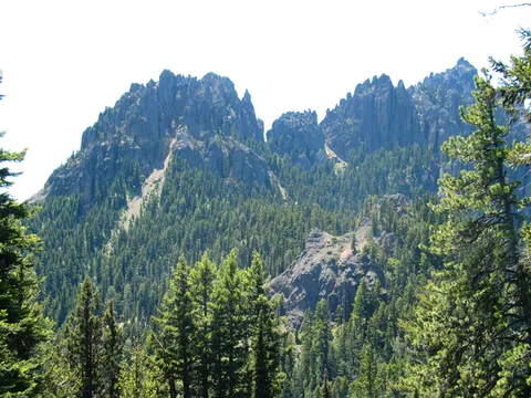
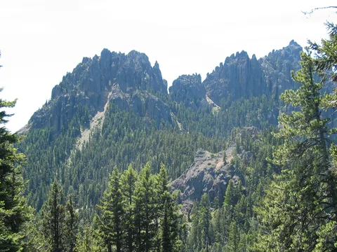
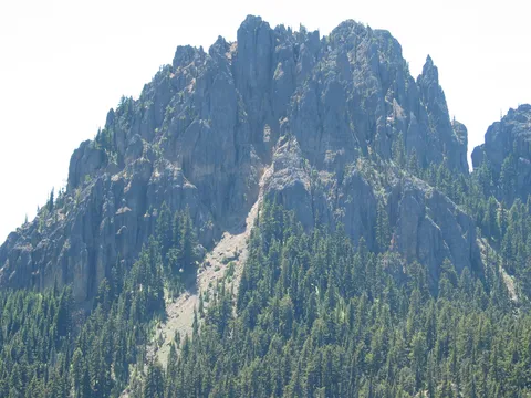
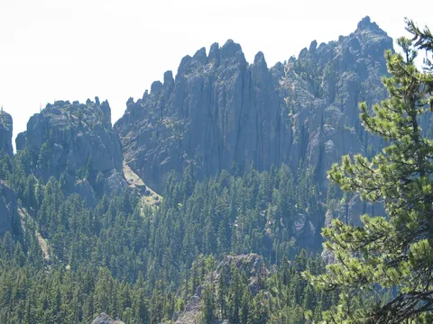
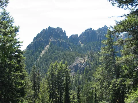
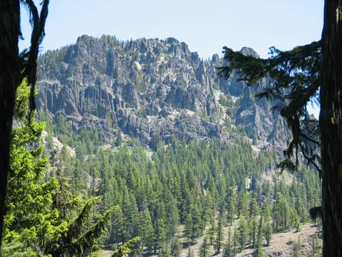
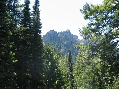
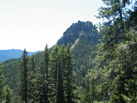
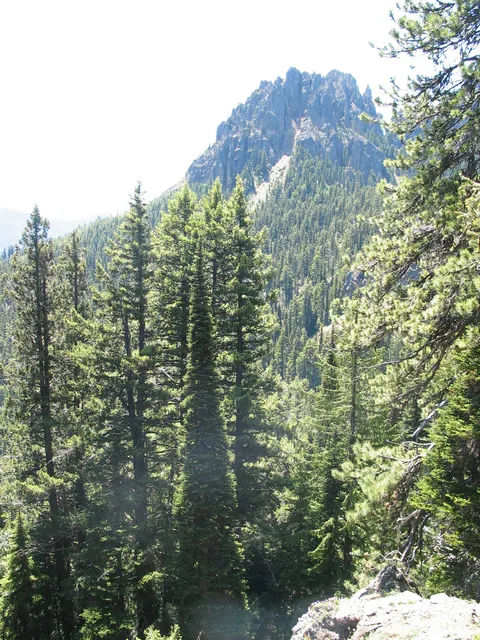
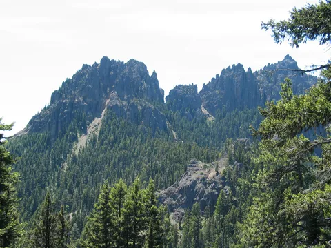
Shortly after the trail levels out, the trail takes a sharp turn to the east to gain the fifes ridge proper. From here the slop becomes again steeper and views to the west of the Fifes becomes possible. After about 15-30 minute one getts their first fairly unobstructed views towards the western Fifes which are quite beutiful near the ridge top where several camping spots are located. There is no water here so if you are considering camping best to bring extra water. I went up the trail some further, as this is a loop trail but the views weren't better than those located at the initial ridge camp, which immediatly below is perhaps the best spot on a denuded slope. This is where I had lunch.
The return was uneventful except my mind kept drifting towards rattle snakes which I was convinced were something I needed to make sure I didn't step on. This was perhaps precipitated by the fact that I was hiking alone this day, and that over the course of the hike I saw exactly no one! On balance I can't say this is a great hike, or really all that exciting or rewarding. However, as always I do place certain value on solitude which this trail has in abundance. Cheers.
Photos 19
Highest rated first