
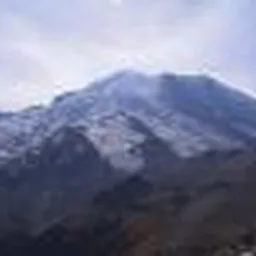
Directions: From Tacoma drive 40 miles south on Highway 7 to Elbe and go east 10 miles on Highway 706 to the Mount Rainier National Park Nisqually Entrance Station. Proceed 20 miles to the upper Paradise parking lot near Paradise Ranger Station. The trailhead is near the rest rooms to the left of the ranger station.
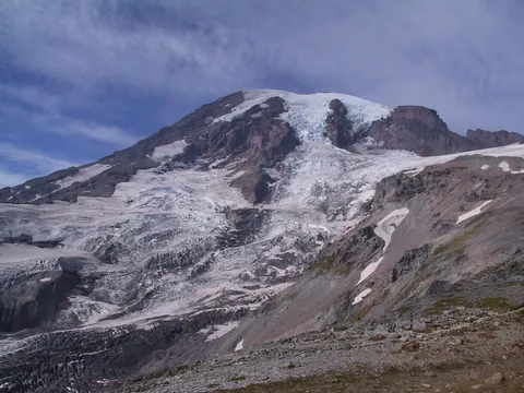
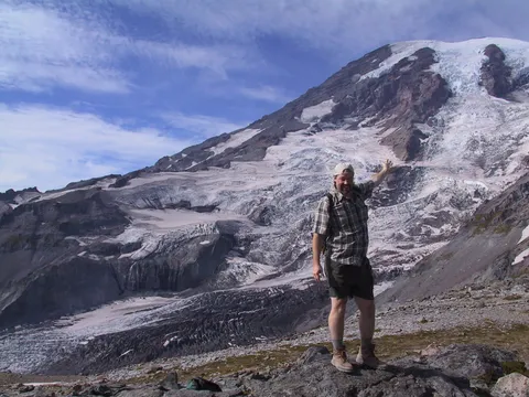
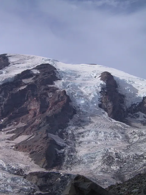
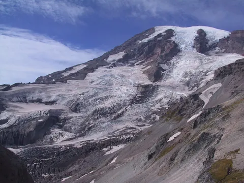
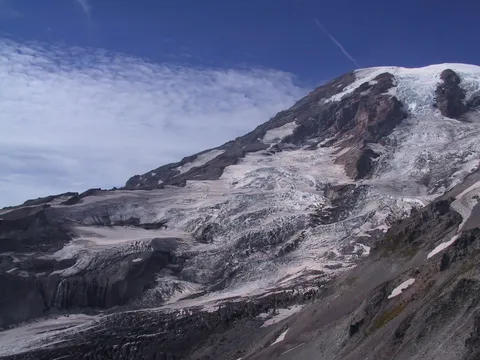
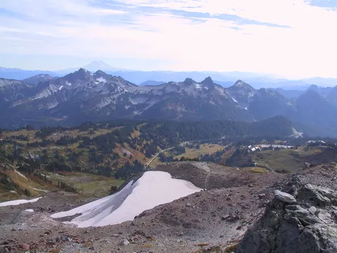
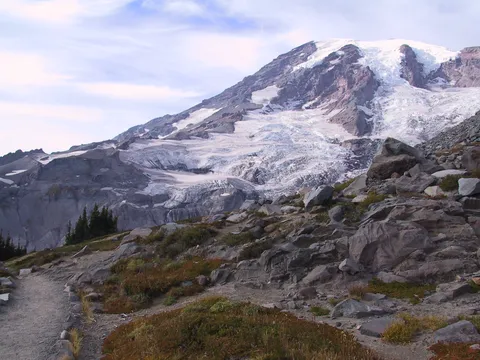
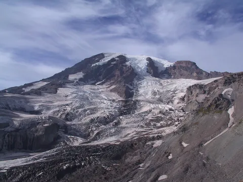
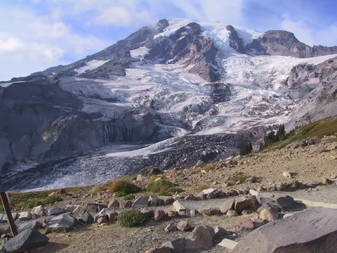
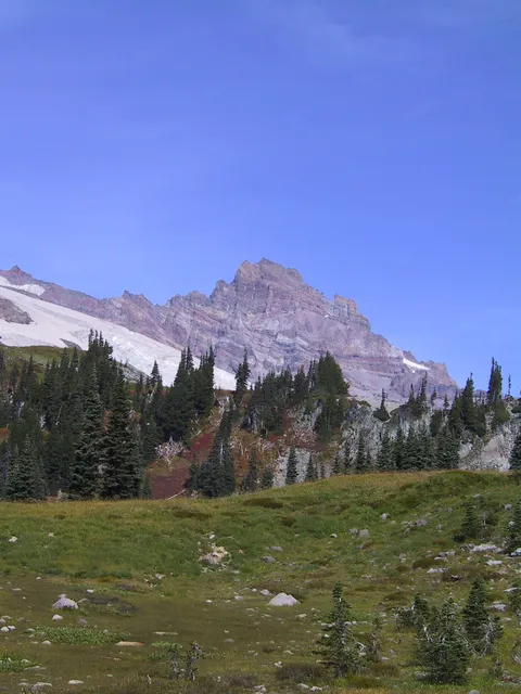
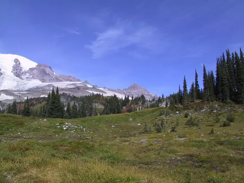
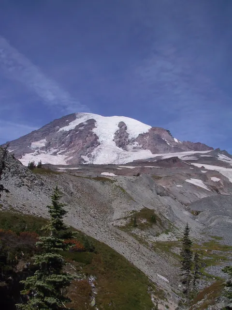
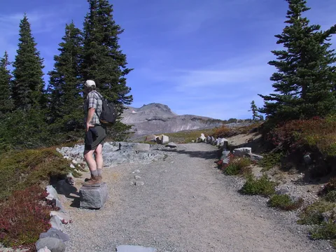
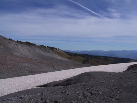
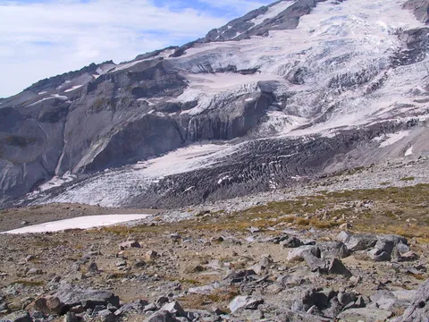
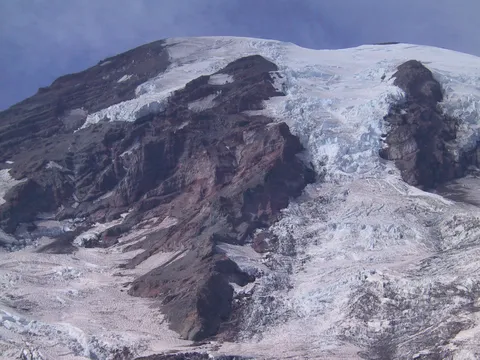
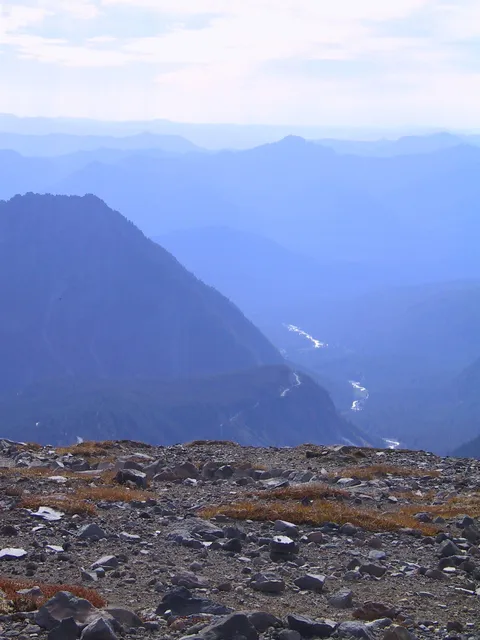
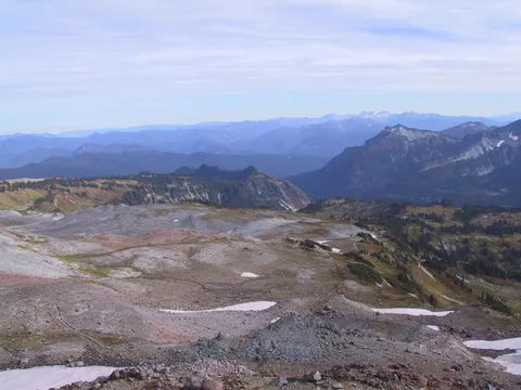
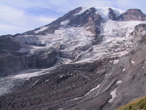
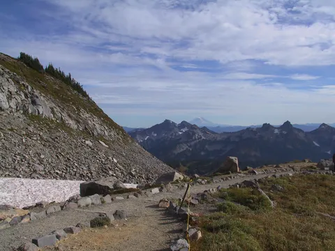
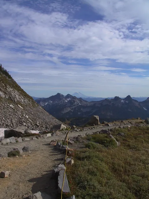
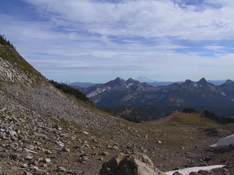
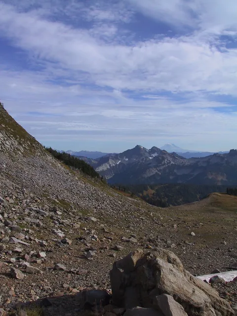
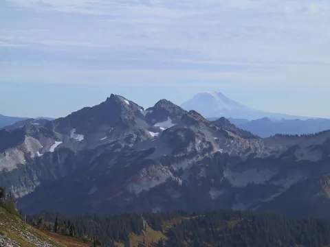
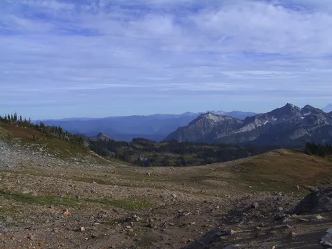
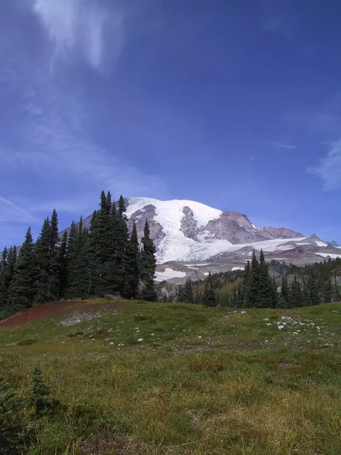
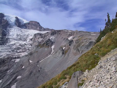
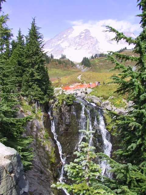
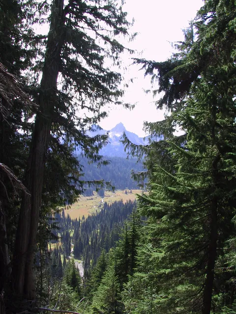
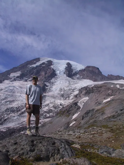
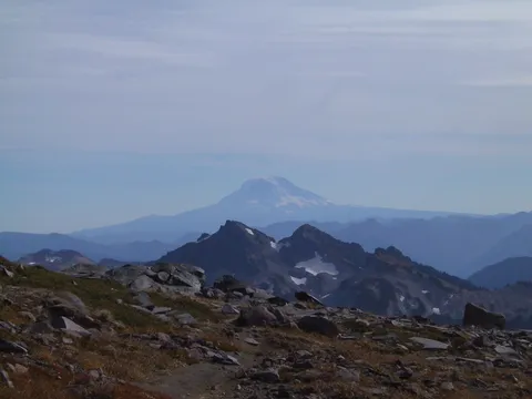
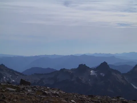
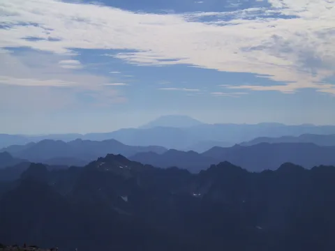
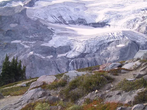
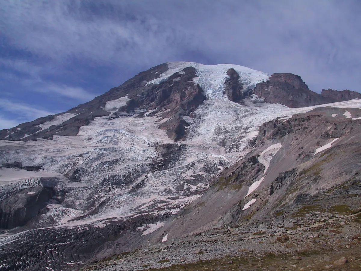
Trail notes Skyline Loop: Get in the mood for altitude. The Skyline Trail above Paradise takes you quickly to nearly 7,000 feet-about as high as you can get in a short hike from the car anywhere in Washington state. The loop trip is spectacular on clear days, with views to the Rainier summit above, wildflowers all around and a view south as far as Mount Hood below. Most people hike the loop clockwise, following the Skyline Trail north past the Alta Vista Nature Trail, then turning directly up the mountain, and passing the short Glacier Vista Loop, which offers prime views of the massive Nisqually Glacier. At about two miles you come to a split. Your direction might be dictated by the season and the weather. If its late in the year or a very warm day, the snowfield blocking the lower route should be well-stomped and fairly easy to traverse. If its early in the season or in the day, when snow is likely to remain hard, take the upper route and detour. That adds about three fourths of a mile to the loop, but youll be glad later. The lower route leads directly to aptly named Panorama Point, where views in all directions are magnificent When the upper and, lower paths meet, the trail turns south below i McClure Rock, leading in about half a mile to a junction with the Golden Gate Trail. For the quickest exit back to Paradise, turn right here for the 1.5 mile walk back to the parking lot Or continue straight toward Mazama Ridge and a 2.5mile return via the first portion of the lakes Trail. This trail is crowded on nice summer days. You might be more pleased with a hike very early in the day or in late afternoon. Carry water and note that no camping is allowed
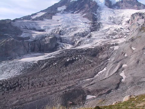
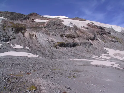
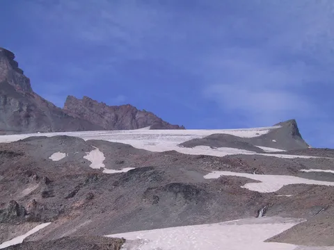
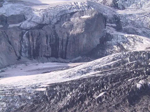
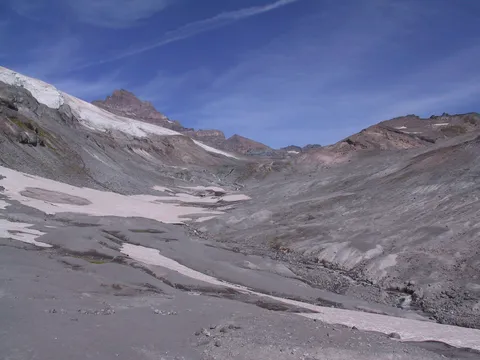
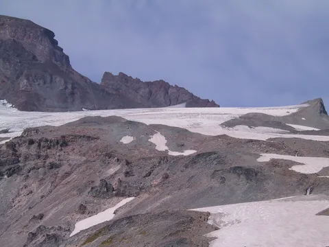
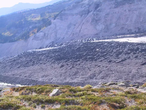
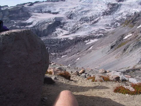
Trail notes Paradise Glacier: The Paradise Glacier hike provides a high-altitude refuge from the teeming summertime throngs at Paradise. From the parking lot trek up the Skyline Trail described in hike number 25. Beyond Myrtle Falls take a right (east) turn onto the Skyline Trail and then hike 1.3 miles uphill, over the Paradise River, up Mazama Ridge, and beyond the Stevens-Van Trump monument to famous (unsuccessful) 1870 Rainier climbers. Go right at the fork and climb 1.3 miles and 400 vertical feet to the toe of Paradise Glacier, 6,400 feet. The upper portion of the trail is an otherworldly experience. You rise and fall over an ancient moraine in desolate, tundra-like conditions. Depending on weather and snow pack, this upper stretch can be quite difficult, particularly if deep, sloppy snow lingers. (In spring and early summer, this is a popular backcountry ski destination.) Its tempting to wander off in this wide open country, but stick to the trail or to marker posts, whichever is most visible. Hazardous pitfalls await on either side of the trail. This trail became one of the most famous in the United States years ago as a route to the world renowned Paradise Glacier ice caves-massive, wind-carved caverns of deep blue ice that were widely photographed. But in recent years glacial movement has effectively destroyed or closed off the caves. Trekking on the glacier, parts of which are quite thin, can be extremely hazardous. This glacier keeps many secrets, however. From time to time an adventurous climber or telemark skier will return with tales of new ice-cave exploration. Leave it to the risk-takers and enjoy the view of the glacier, which is hard to beat.
Photos 48
Highest rated first