
Directions: From Enumclaw drive 43 miles east on Highway 410 to the Mount Rainier National Park White River Entrance Station. Proceed to Sunrise Road and follow it 17 miles west to the large parking lot and visitor center at the roads end. The trailhead is on the south side of the parking lot. Note: Sunrise Road usually doesnt open until early July.
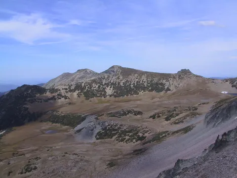
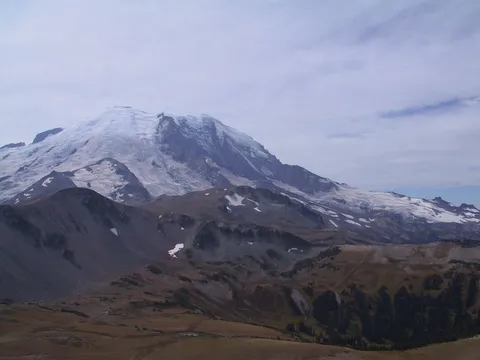
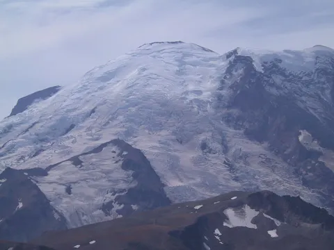
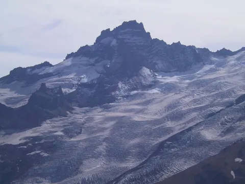
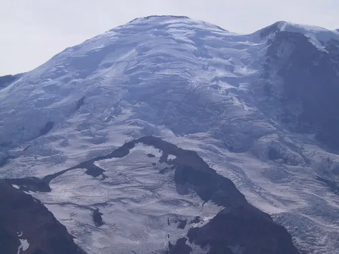
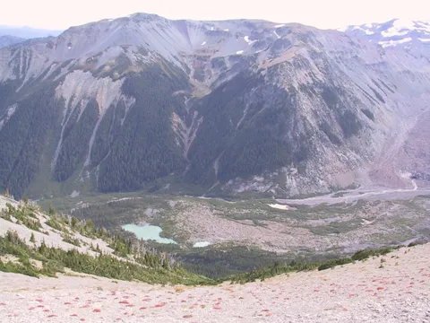
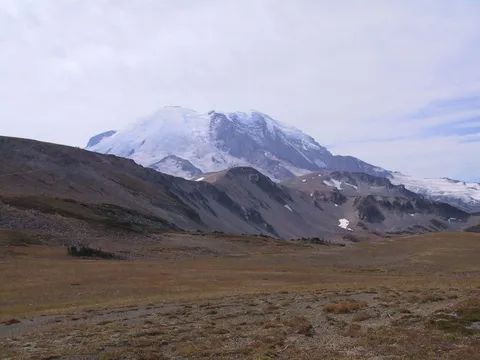
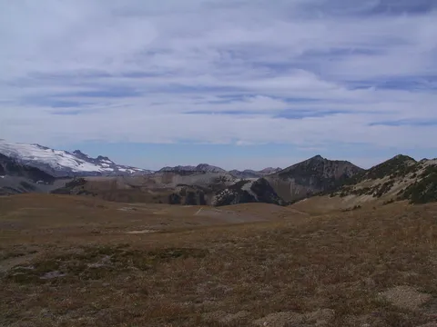
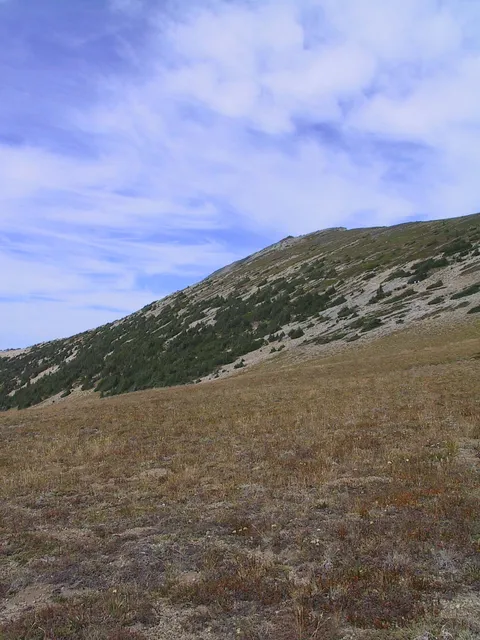
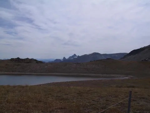
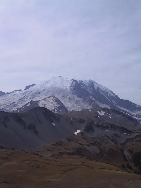
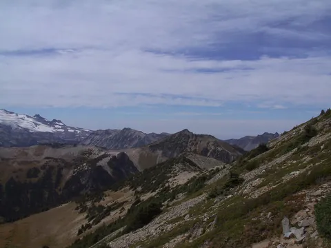
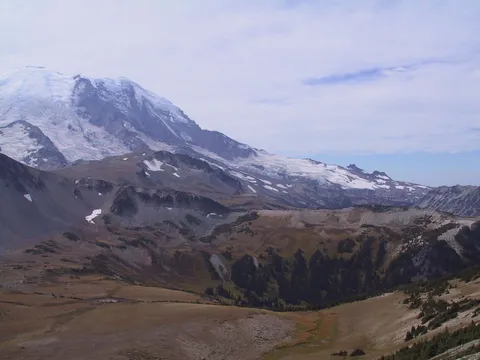
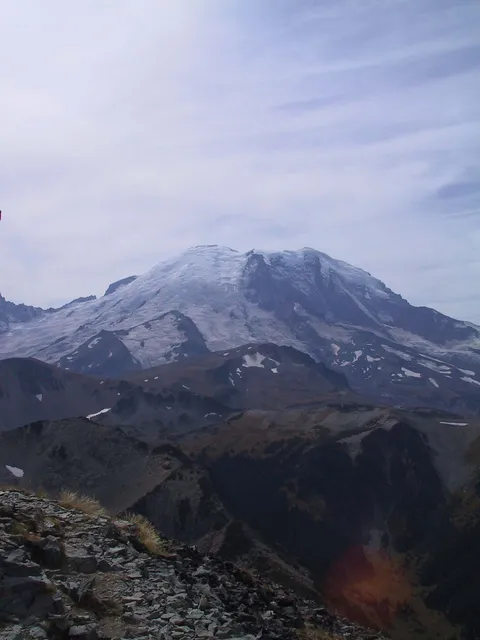
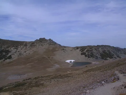
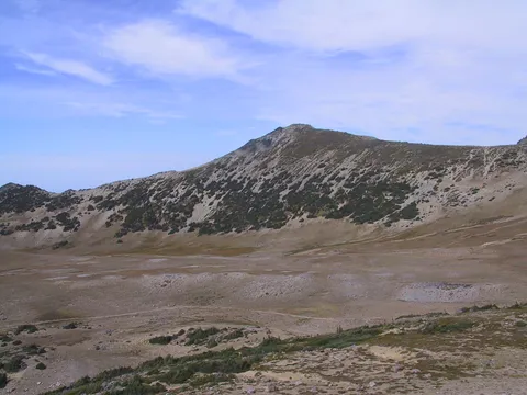
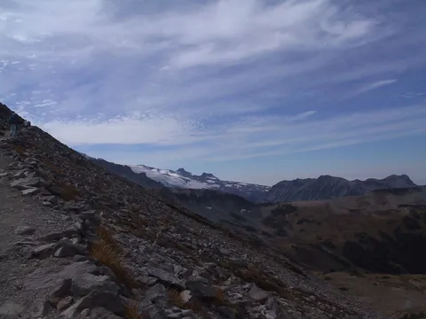
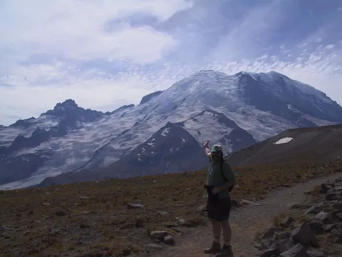
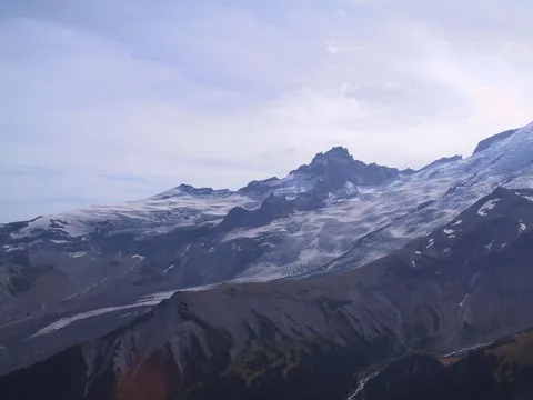
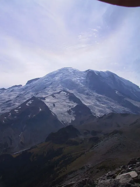
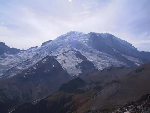
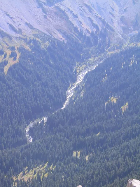
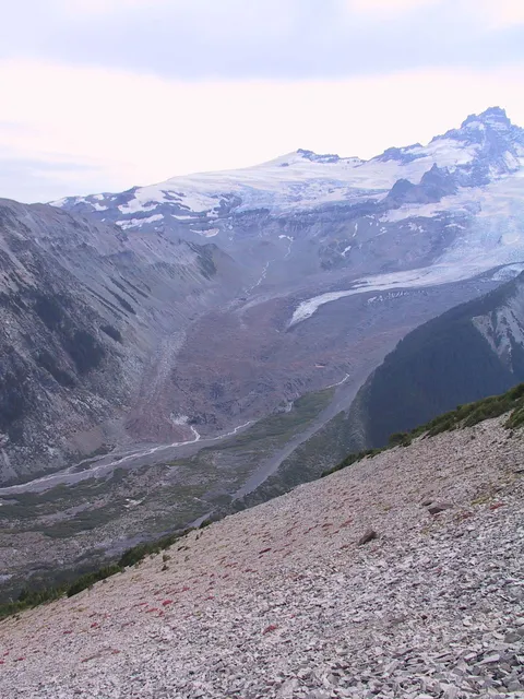
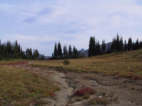
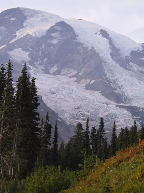
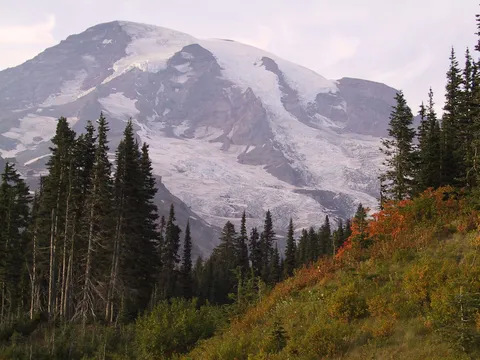
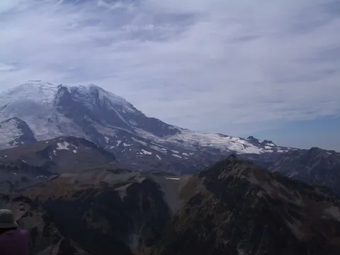
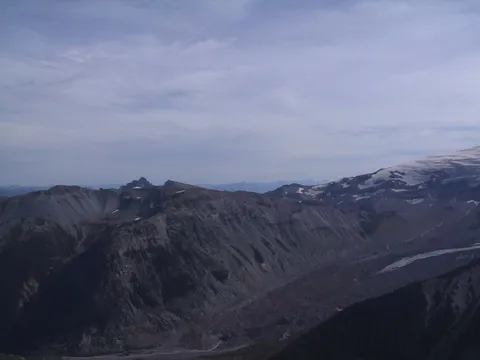
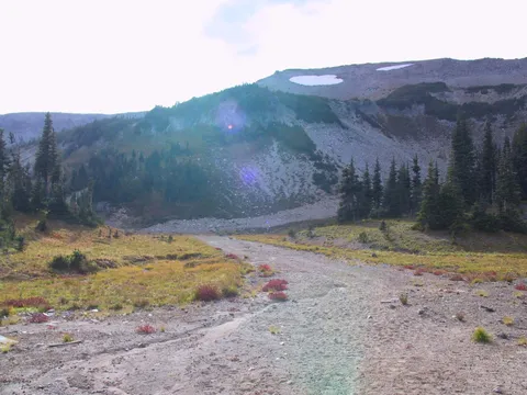
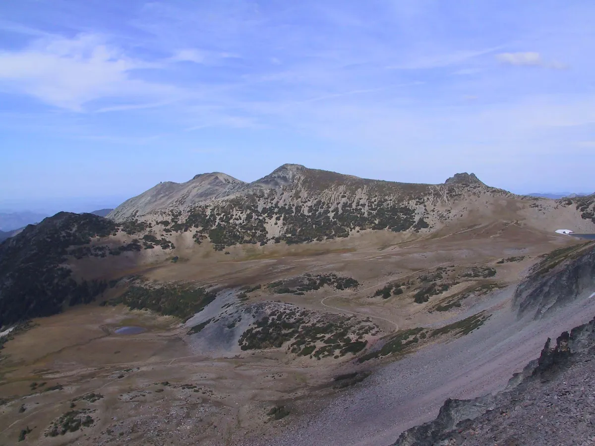
Trail notes Burroughs Mountain: Double Jeopardy. Burroughs Mountain is one of Rainiers most spectacular alpine walks. Its also the trail that is most-often underestimated by day hikers. The route crosses a large snowfield that usually does not melt until early August, if at all. You might consider an alternative if you are uncomfortable with crossing snow with an ice ax. The snow notwithstanding, Burroughs Mountain is a great experience. The trail begins by skirting Shadow lake to Sunrise Camp and then shoots up sharply to a viewpoint with an awesome vantage point of the Emmons Glacier and moraine. Continuing up the ridgeline, cross the snowfield and climb to First Burroughs Mountain (7,300 feet), where the trail joins with a path to Frozen lake at about 2.8 miles. Continuing upward, you find a magnificent, fragile tundra environment, considered the best of its kind in the Northwest Do not for any reason venture off the trail. The plants you stomp on will take as long to grow back as youll be alive, which might not be long, if youre spotted lurching through the meadows by a backcountry ranger. Second Burroughs Mountain (elevation 7,400 feet) is about half a mile beyond the first. The views are stupendous. For the return trip you have three choices: the way you came, the Frozen lake route via Sourdough Ridge or dropping sharply south to the Glacier Basin Trail and then walking a section of the Wonderland Trail back to your vehicle.
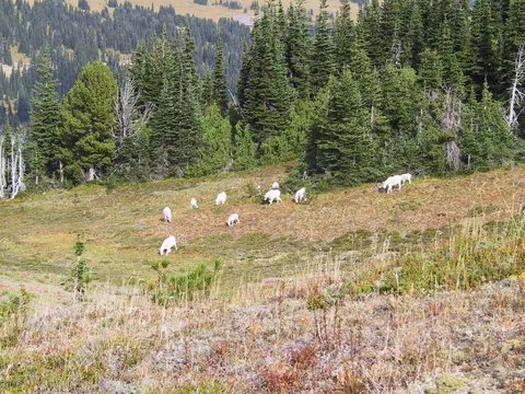
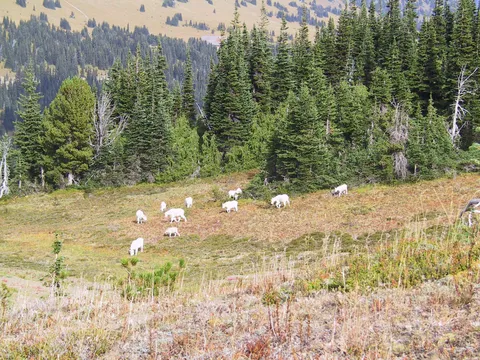
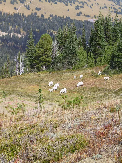
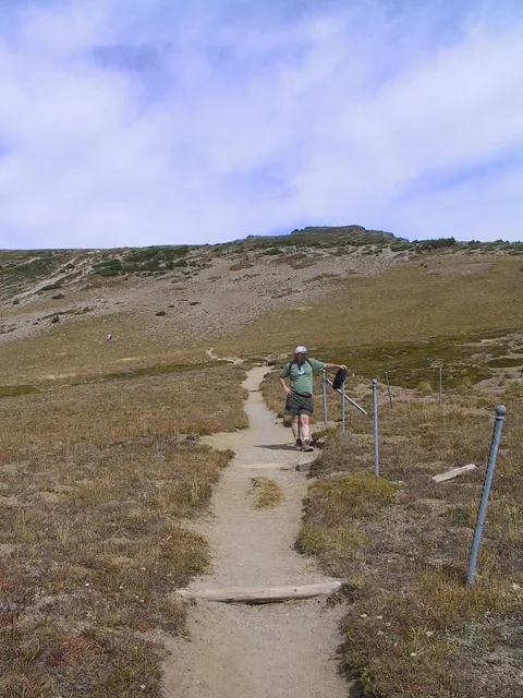
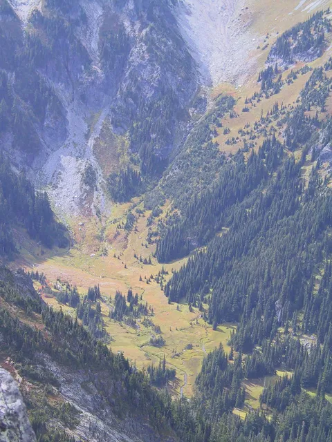
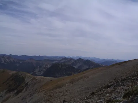
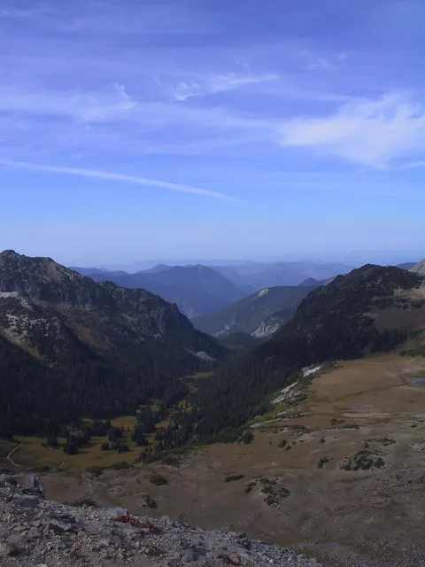
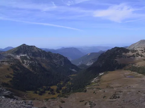
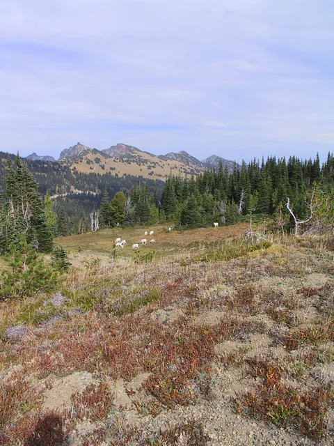
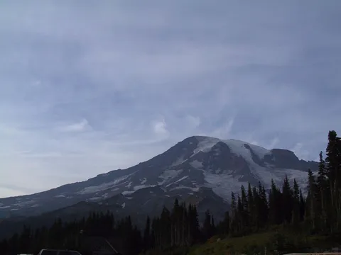
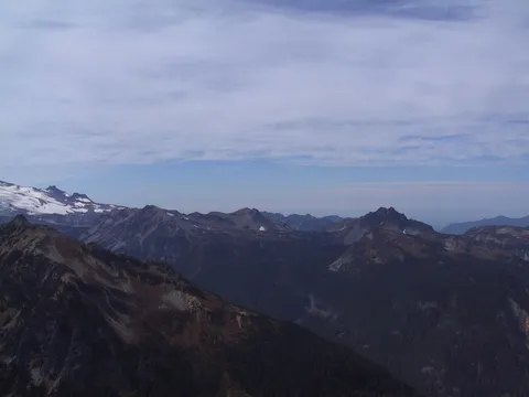
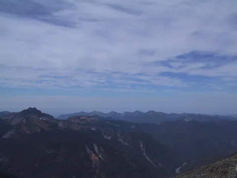
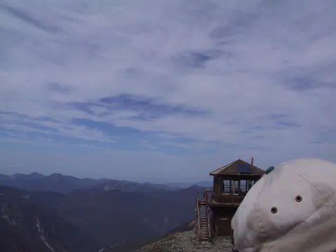
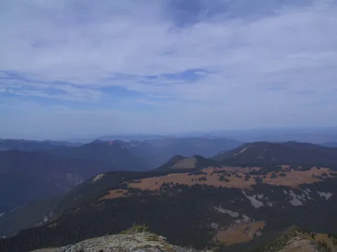
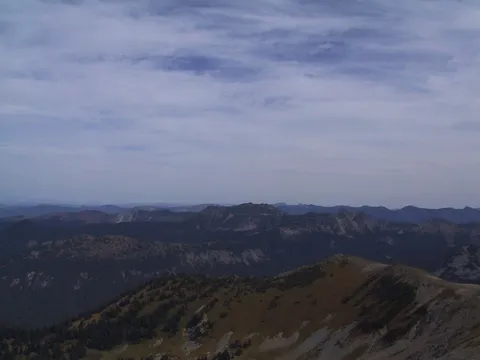
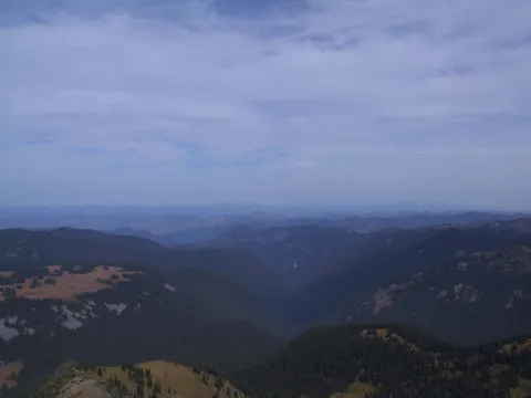
Trail notes Mount Freemont: The Mount Fremont Trail is an easy half-day hike from the popular (and spectacular) Sunrise area, is an extremely popular hike that can be combined with other Sunrise-area destinations for a full day of wandering among some of the most spectacular mountain and alpine parkland scenery in the United States. From its common trailhead at Sunrise, the trail climbs a third mile to the top of Sourdough Ridge, and then turns left (west) along the ridge top for 1.2 miles, passing small Frozen Lake. Watch for winking blond marmots in the rocks. At the lakes end is a three-way intersection. The left trail goes to Burroughs Mountain and the center trail to Berkeley Park and Grand Park. For Mount Fremont turn due north (right). It is an easy 1.3 miles through magnificent meadow and rugged rockridge terrain to the lookout, situated to keep watch on hundreds of miles of rolling green (or clear-cut) forest all the way to the Central Cascades and Olympics. If conditions are right, your binoculars might even find downtown Seattle. Look for the brown haze. Up closer if your timing is right, you might see mountain goats. Excellent Rainier views, of course, tantalize you all along the route. Expect heavy traffic (many, many gapers) on this trail (which gains 1,200 feet one way) all summer long. It is a good family hike-even if you are here without a family. Long-distance hikers can continue straight on the Huckleberry Creek Trail, which leads about 10 miles downhill to the northern National Park Boundary.
Photos 50
Highest rated first