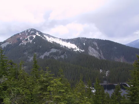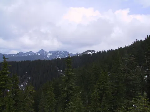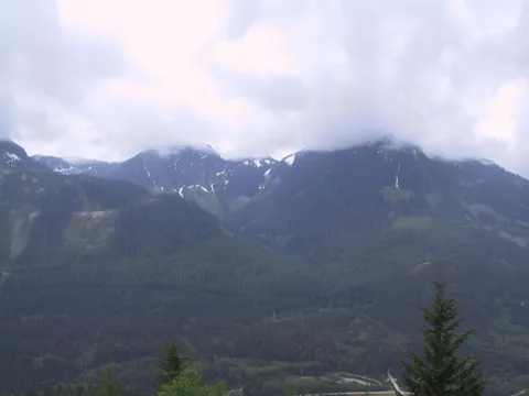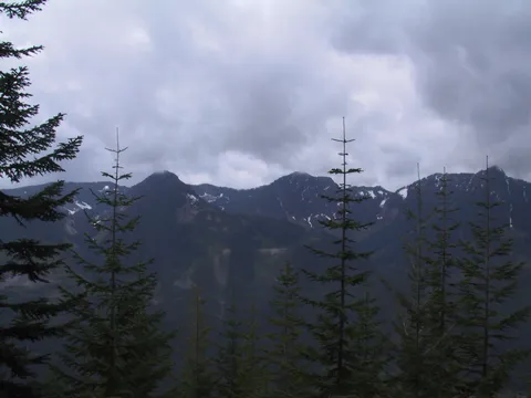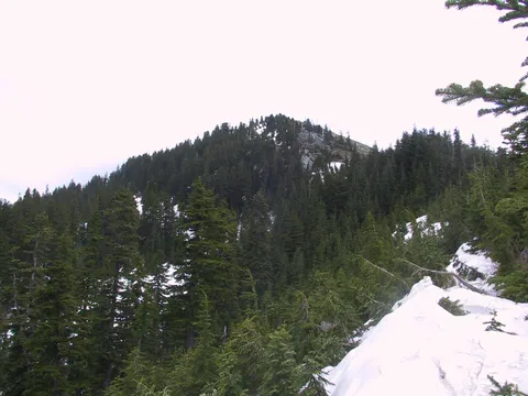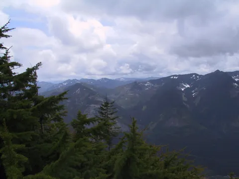

Driving Directions: Via the Mason Lake Trailhead: From Seattle, take I-90 E to exit 45. Cross over the freeway and take road 9030 to a junction about 1 mile down the road. Follow road 9031 to the left for another 3 miles until the trailhead is reached at the end of the road. Trail Notes: Bandera Mountain has enjoyed a certain reputation as a difficult hike to make. We set out today under somewhat mixed weather to give it a go. As things turned out today would be the day my Canon G1 gave up the ghost which explains a lack of trip reports etc for some time after this hike. The Bandera trail starts in the same location as the Mason Lake trail. At the time of this writing the new Mason Lake trail was still under construction and signs were on the trail indication blasting was taking place!
The first 30 minutes or so of this hike are not difficult following a former logging road on a easy grade through mostly deciduous trees. At about a half hour to the left is the Old Mason Lake trail. To get to Bandera you stick with the main trail, which at this point is still a logging road. Shortly thereafter the road stops and a trail of roughly similar persuasion presents itself. After about 15 minutes the trail takes a different grade steeper than before and somewhat difficult on the legs. Fortunately this grade doesn't last for more than 20-30 minutes. Unfortunately as I was about to find out it was going to get worse... After you have had your fill of this grade the trail to Bandera Mountain presents itself. Basically this trail (the old trail) travels directly up the slope. What this means is you are going up a 45 degree angle and have to take into consideration how fast you can go up it. On this day it took us about an hour and a half of climbing this to gain the ridge line.
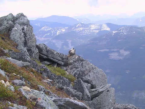
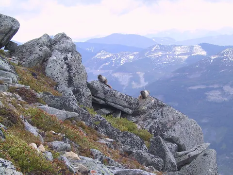
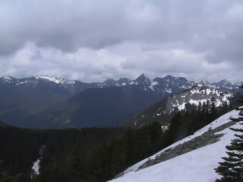
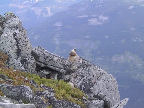
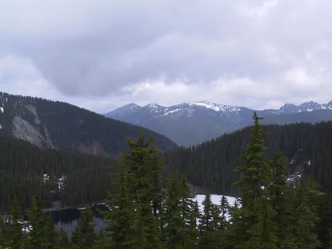
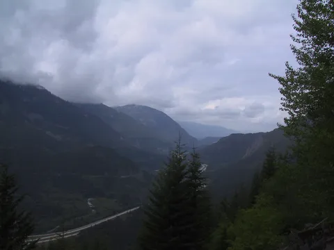
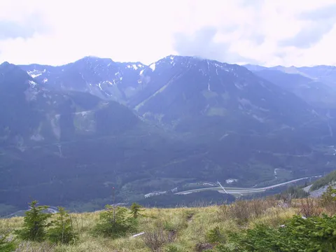
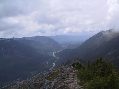
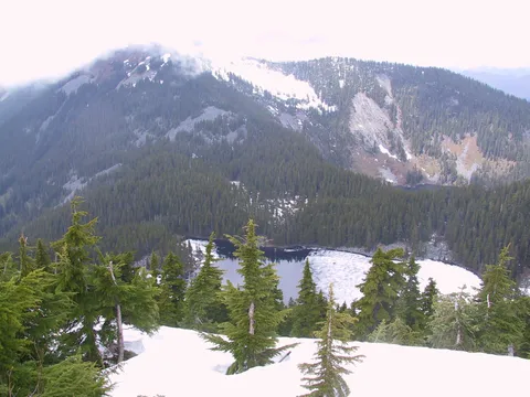
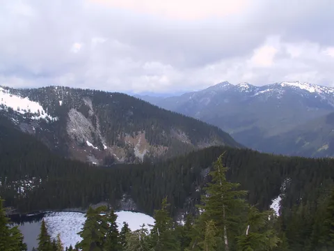
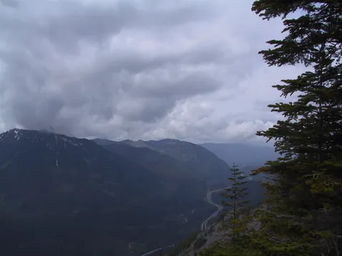
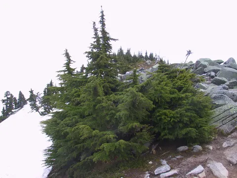
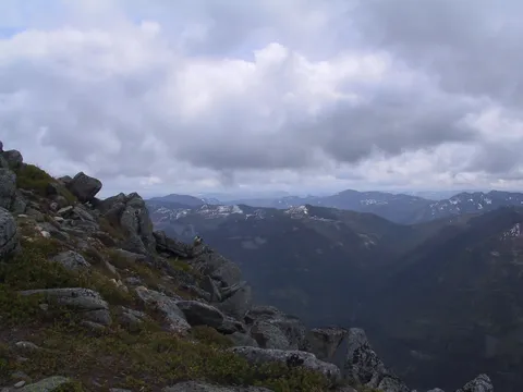
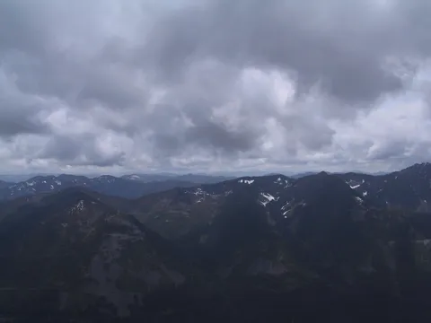
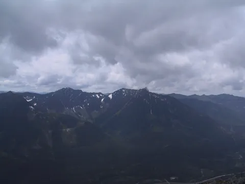
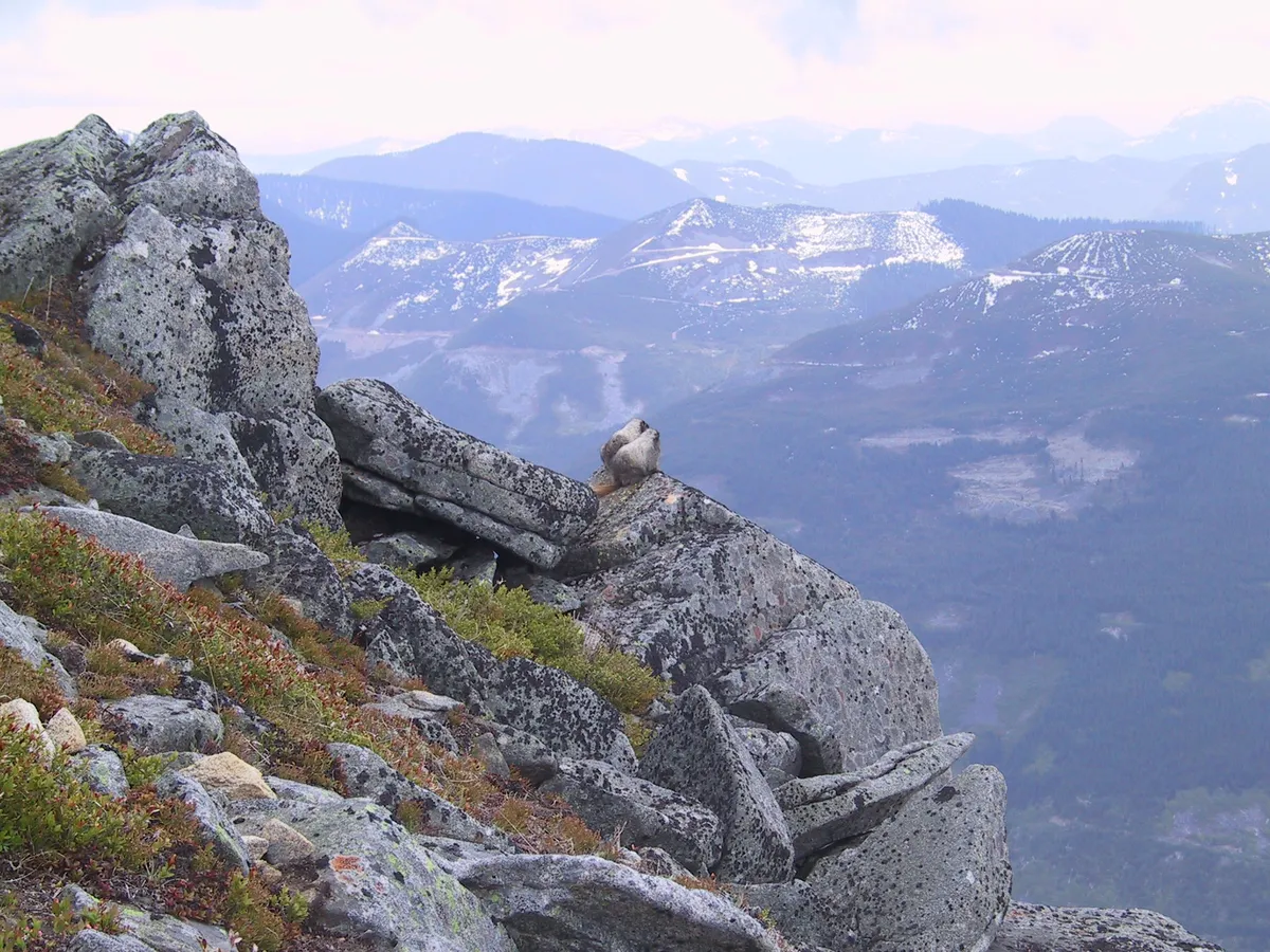
About two thirds the way up the goat trail the new trail is crossed. It is worth noting that when the new trail is in use one will still need to travel maybe 600-800 feet directly up the slope to get to Bandera. In any event that is what we did continuing on up the slope. Once the ridge is gained there are some patchy trees the trail goes through around which are open areas offering excellent view of the Snoqualmie pass area. The trail itself continues on for about 20-30 minutes along a milder grade to the true summit of Bandera. Near the top we encountered Marmots frolicking and enjoying the view. Sort of weird to see Marmots early in the season before they are properly plumped. The area at the very top offers a small depression to eat lunch in, but is still subject to winds coming up the valley. A better alternative and the one we chose was to eat lunch on the leeward slope overlooking Mason lake.
Unfortunately there are no pictures from this vantage as my poor G1 had now given up the ghost. On our return we opted to travel down the new trail despite the warning signs. It can be said that when the new trail is open it will significantly ease the difficulty of getting to the top of Bandera Mountain.
Photos 29
Highest rated first