Driving Directions: Drive I-90 east from Snoqualmie Pass 2 miles and go off on Hyak Exit 54. Turn right and then left into the large Pacific West Hyak ski area parking lot. Halfway through the lot, go left on a road obscured signed "Hyak Estates Division 3 and 4." Pass houses and go to the right of the wastewater treatment plant; here the way becomes road No. 9070. at 3.3 miles from I-90 is Cold Creek trail No. 1013, signed "Twin Lakes." Elevation 3029 feet. Stay on 9070 another 2 miles to the Pacific Crest Trail at Windy Pass, 3820 feet. You will know you are there when you gain the ridge and see the Pacific Crest Trail signed on the left side of the road.
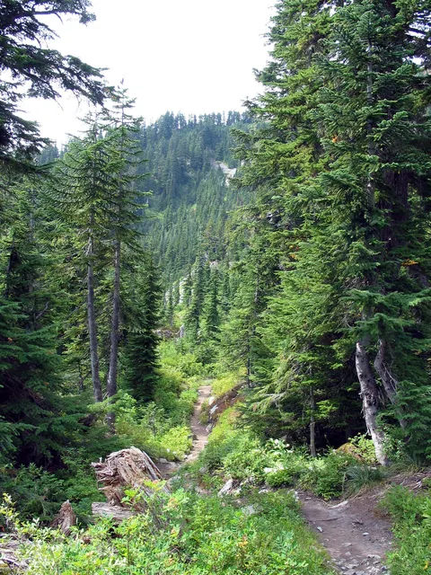
Trail Notes: The trail starts out in what was a clear-cut about 15 years ago though you only hike through this second growth for about 15 minutes. Once through the second growth the trees become very large for this elevation. The trail itself is quite pleasant gradually gaining elevation while providing occasional views to the East. There are several streams along the way which can provide water and also provide an opportunity to test your stream crossing skills. If you come during the early part of summer when there is still snow melting off the hills some of these stream especially the first you cross at about 20 minutes can be tricky to cross. Probably best to make sure you bring a change in footwear so if the crossing is deep you can still get across and enjoy dry feet!
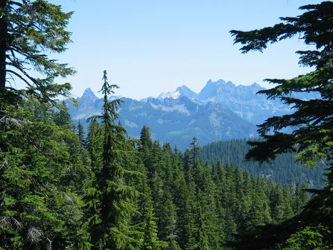
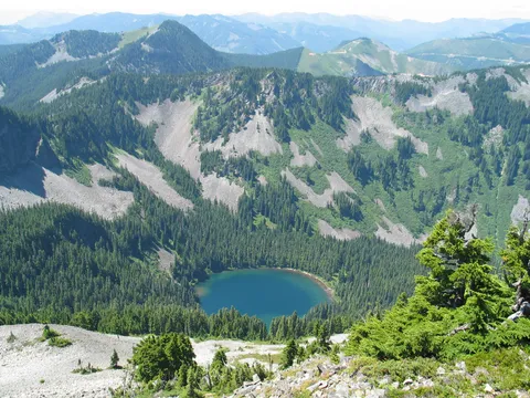
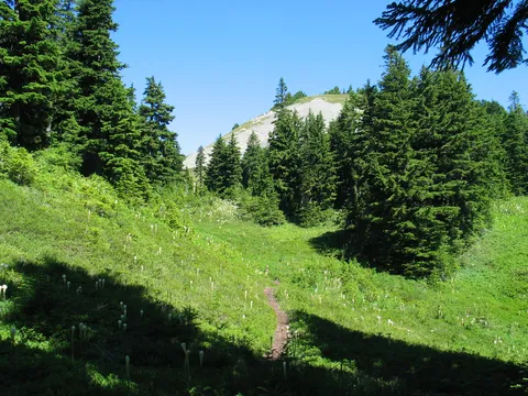
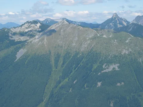
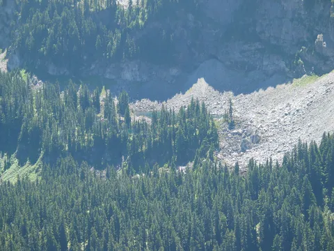
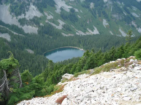
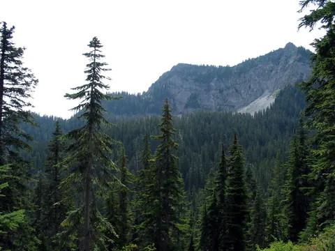
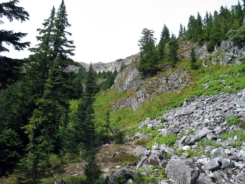
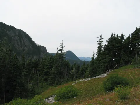
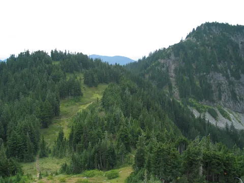
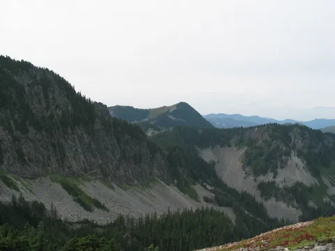
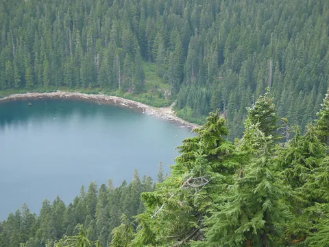
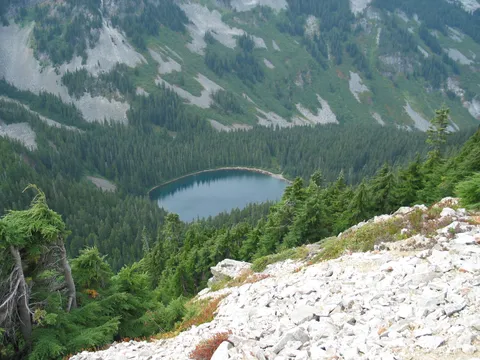
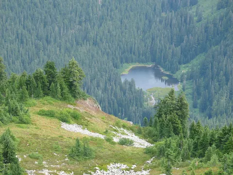
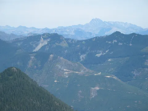
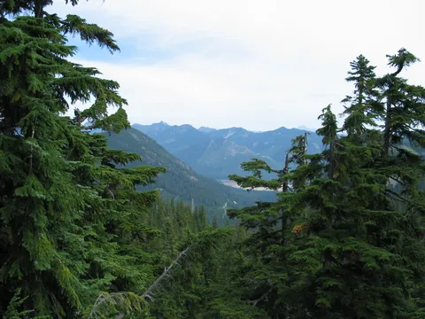
After a while you start crossing some avalanche chutes which offer views of Tinkham peak to the South East. Just past this there are some alpine meadows with a view up above to the North of the ridge leading up to Silver Peak. And yes as you look up at the rocky cliffs you will be climbing up along there. Which means that somewhere along the line you are going to be gaining some elevation! The trail continues past the alpine meadows up and views of Twins Lakes below can occasionally be had.
Shortly thereafter the trail loses a bit of elevation on a series of switchbacks to go around some steep rocks. This section can be particularly tricky to navigate when there is snow present. The first time I was to Silver Peak in Early June with snow still present this section confounded me for about 15 minutes until I could find my way around the rocks. Look for chain sawed logs! With this decent behind you again one gains the elevation back again with a bit more vigor entering an exposed Eastern slope. After crossing this open slope along a traverse you enter a relatively flat area whose prominent feature is a view up close of Tinkham Peak and a large stream which is the headwaters of Twin Lakes.
It is at this point that the trail forks between Silver Peak and Tinkham Peak. Finding the trail to Silver Peak at this section can be difficult especially if there is snow. When I was here in June we simply traveled to the Southwest towards the saddle between Tinkam and Silver Peaks. Simple enough, but the slope is at an ideal angle for avalanches so be careful. During this hike I again pretty much let my nose lead me towards the saddle. There are a several trails, and I don't think you can really go wrong with any of them. We wound up selecting more of a deer trail on the way up having lost the main trail...and not being too concerned about it. Eventually the trail we selected converged with the main trail in a gully that during the runoff apparently has quite a bit of water flowing through it. This section depending on the route selected can be fairly steep though not too bad.
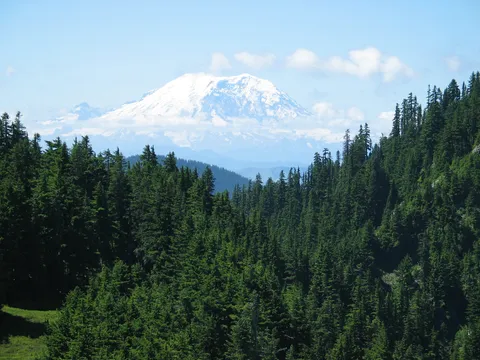
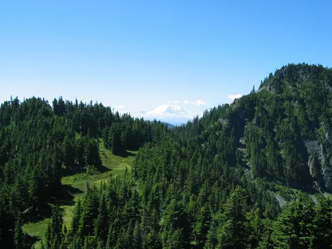
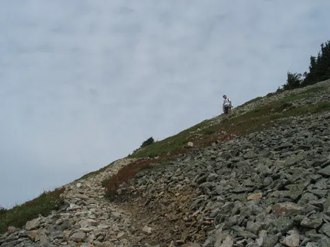
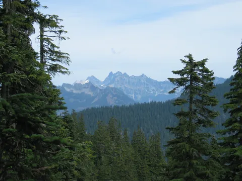
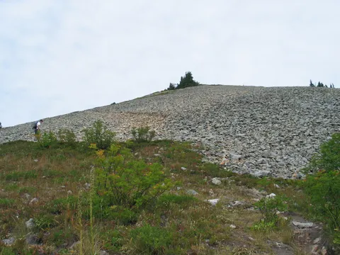
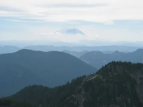
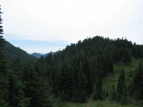
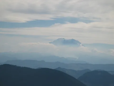
After about 20-30 minutes you will gain the ridge itself which is a alpine meadows environment. At the ridge there the trail goes one of two ways. One way leads towards Tinkham Peak (I assume it takes you to the top, but haven't traveled that route) the other leads towards Silver Peak. The goings here are quite nice and shortly offer views back down into the saddle from whence you have just come as well as views of Rainier. The view just keep getting better. This is one of those areas where the views just keep getting better with every step. After meandering along the ridge traverse there is a short steep section almost requiring the use of hands to climb (It's fun!). After that it is a pleasant 15 minutes of so across alpine meadows towards the now visible rocky slopes of silver peak. You can make out what appears to be the trail switch backing up the ridge. As you near the rock you become more aware that there really isn't a trail in the traditional sense just an area where boots have worn away the lichens and oxidation from the rocks.
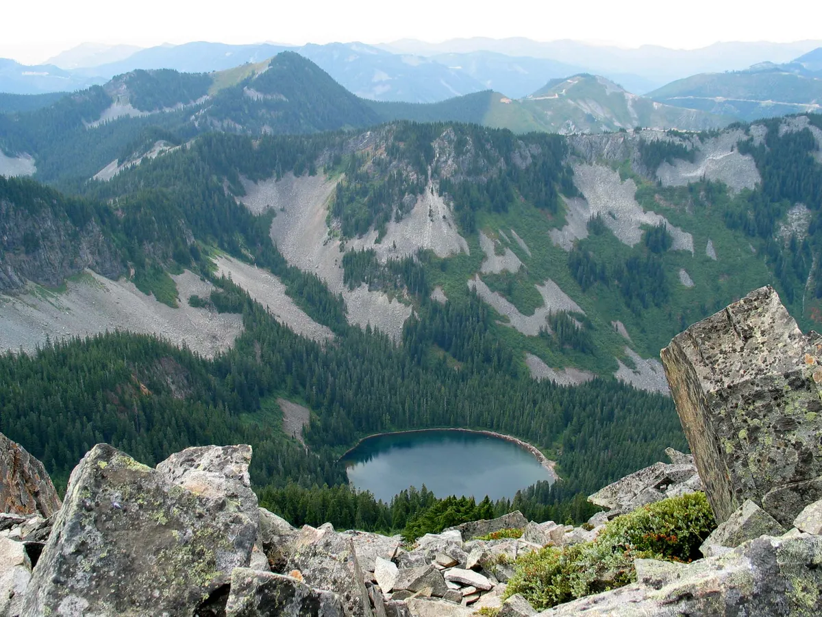
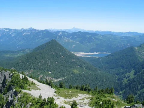
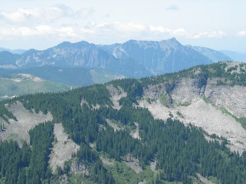
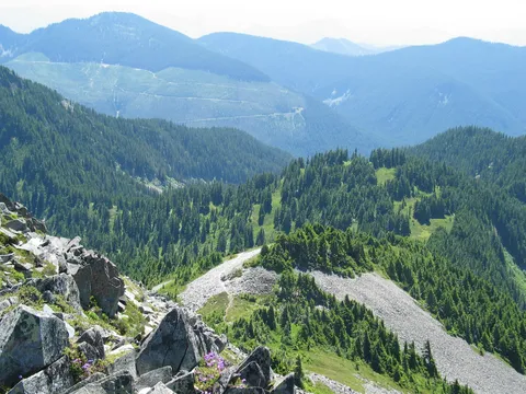
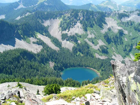
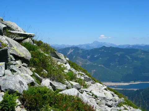
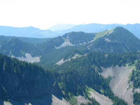
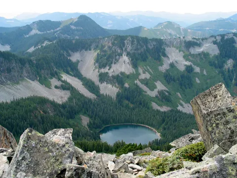
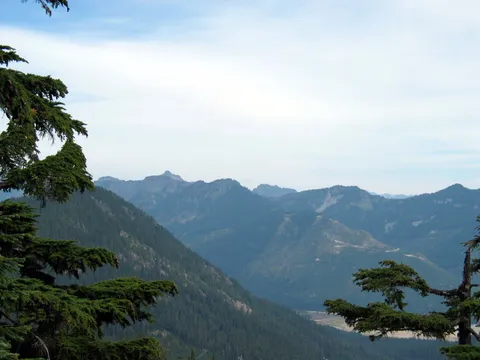
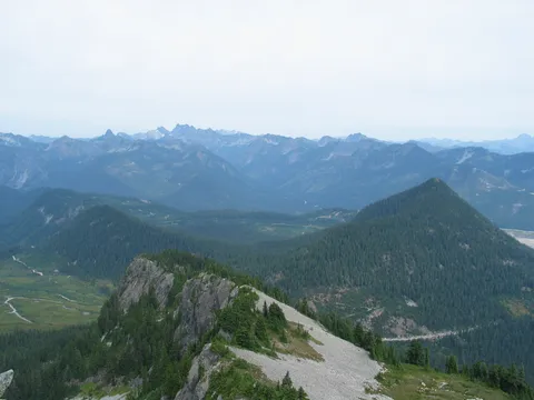
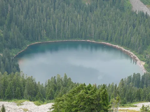
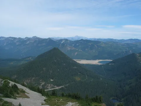
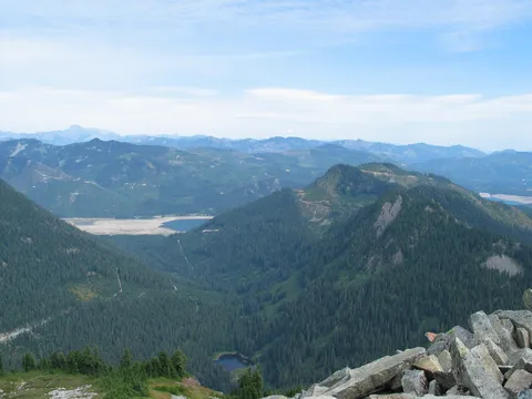
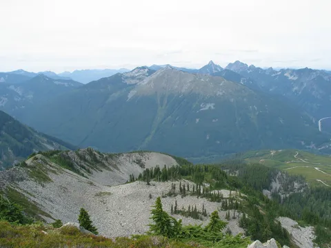
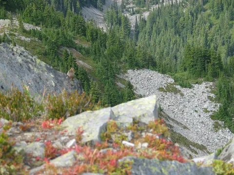
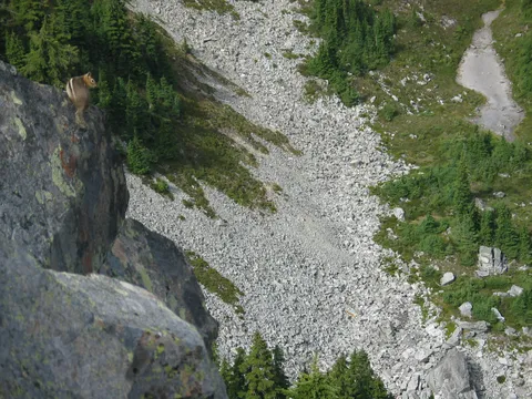
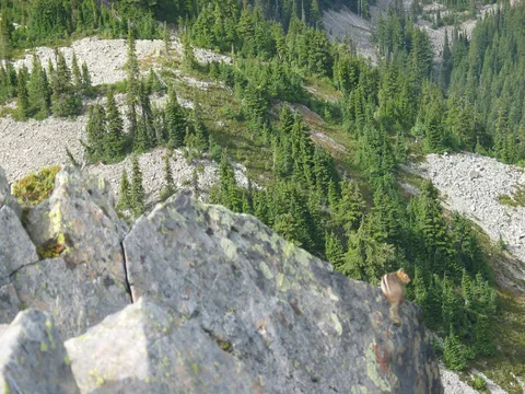
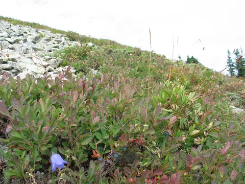
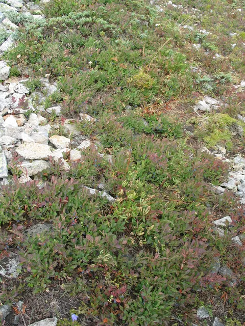
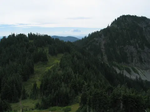
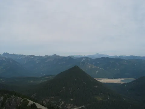
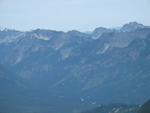
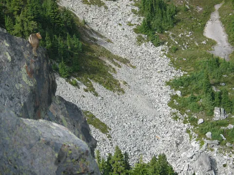
The climb up the rocks is tiring but at the same time is a great place to stop and enjoy the views. It is at this point that views of Annette Lake begin and blueberries seem to be everywhere. Once cresting the first false summit there is a traverse along the Eastern slope offering a view down into the valley from where you started. Now you are on the rocks that I mentioned looking up to from the trail below. Almost there.
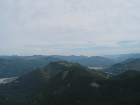
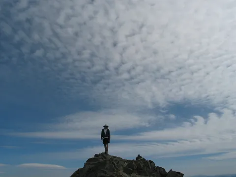
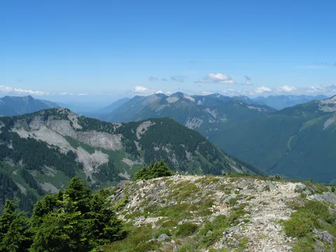
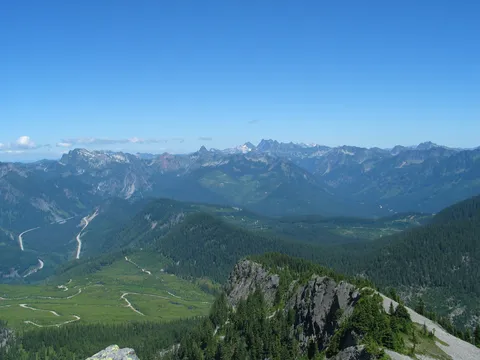
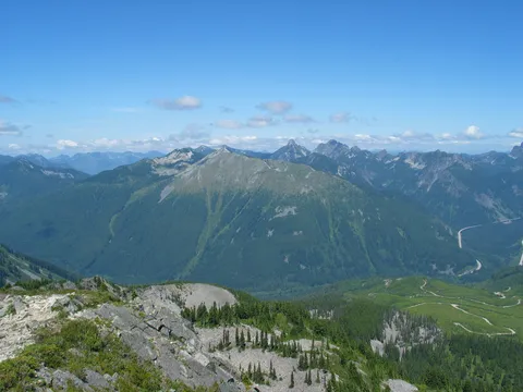
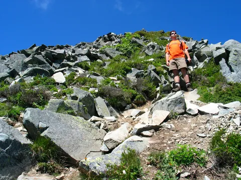
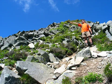
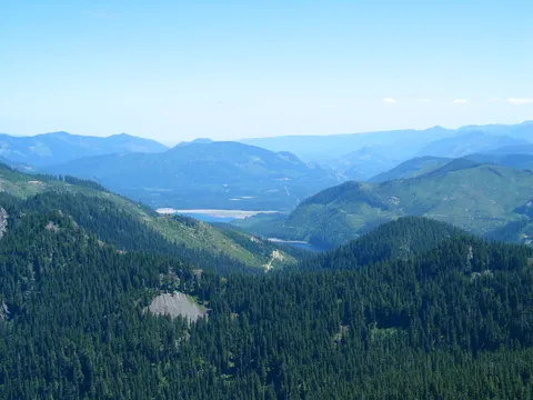
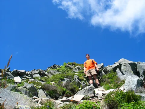
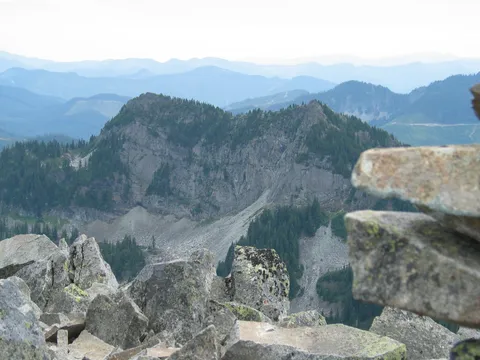
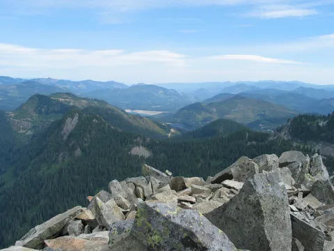
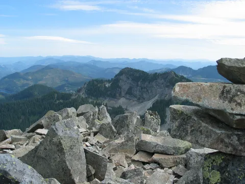
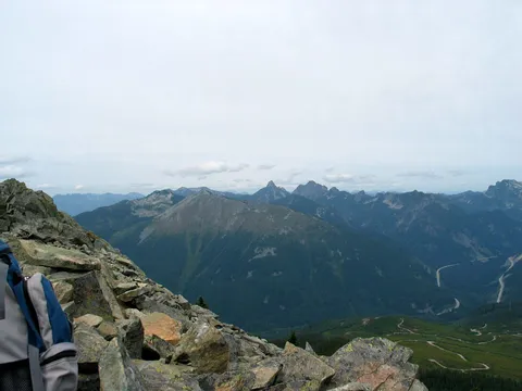
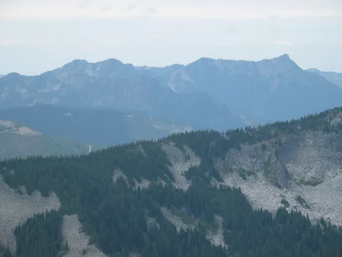
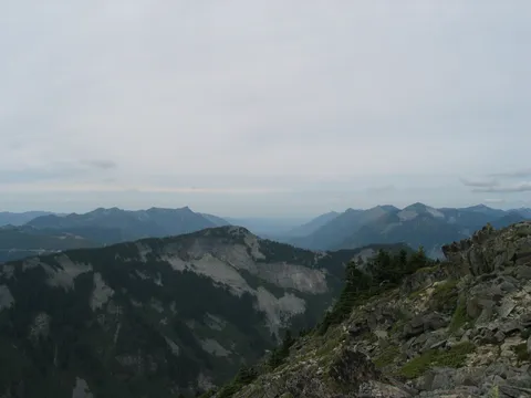
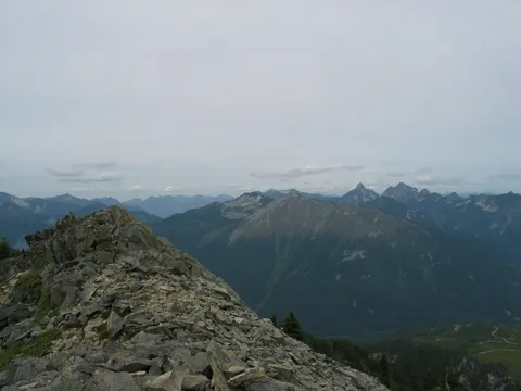
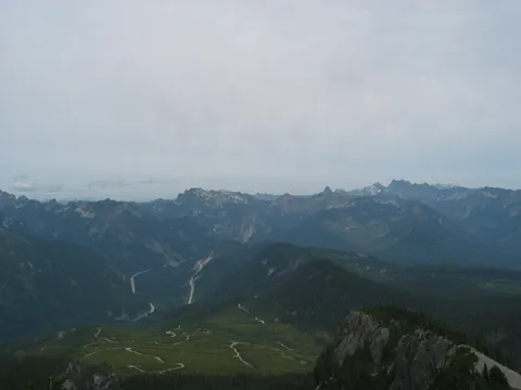
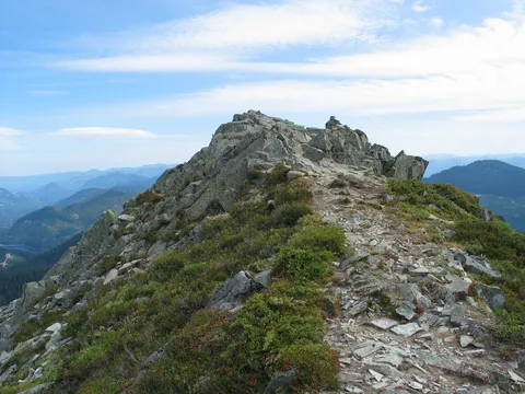
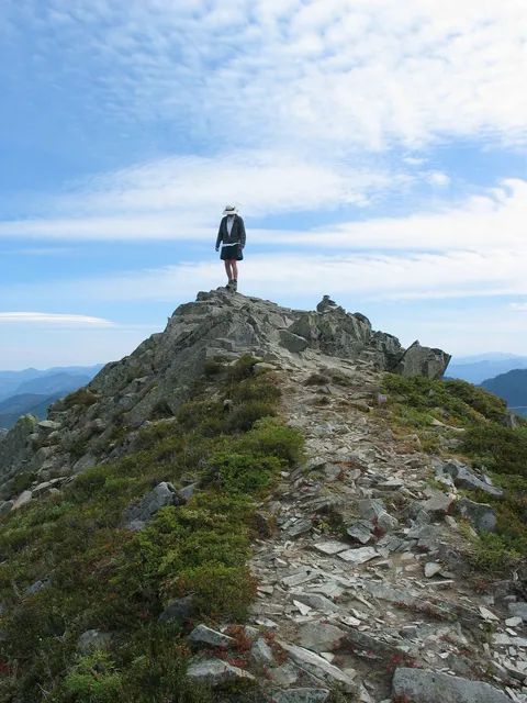
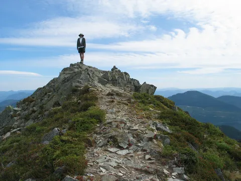
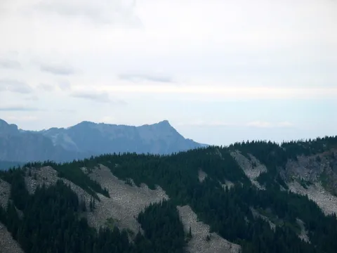
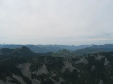
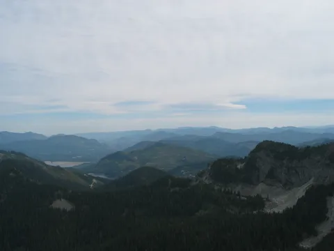
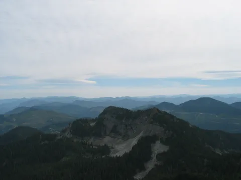
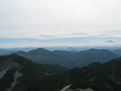
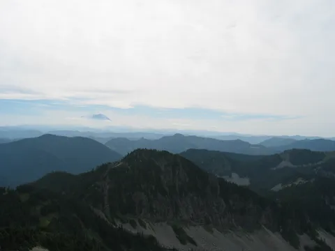
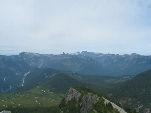
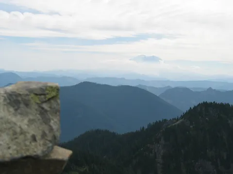
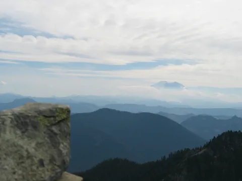
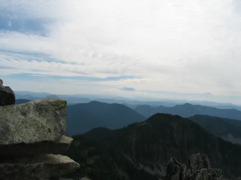
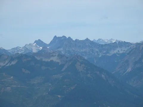
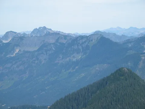
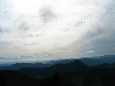
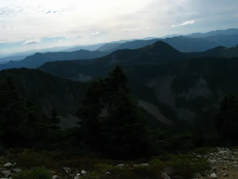
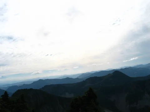
Now the last hurdle is ahead of you what is the last climb to the top of Silver Peak. There is a trail leading up and the going is quite steep requiring the use of hands in places on the way up and facing the rock on the way down to be safe. It isn't difficult, but care should be taken to ensure a safe descent. This section takes about 10-15 minutes to gain and then you are at the top. Whatever you do don't stop! Once you have made it to the top the rewards are very good offering a 360 degree view of the surroundings. Very nice view point and an excellent place to chill out, have lunch and enjoy the mountain silence. As a final note doing this hike in the early season can be tricky since the aspect of the slope doesn't get much light and retains snow longer than surrounding areas. Just keep that in mind, this hike is probably best done in late August or early September.