

Driving Directions: From Seattle, drive north on I-5, take the Larrabee State Park/Chuckanut Drive exit. Drive 10 miles on Chuckanut Drive (state Route 11). The trailhead is about 30 Seconds pastChuckanut Manor Inn. The trailhead is on the uphill side of the road and is not very noticable. Look for parked cars, and remember if you went more than a minute past Chuckanut Manor you have gone too far.
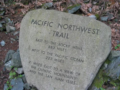
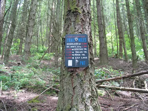
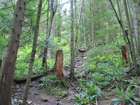
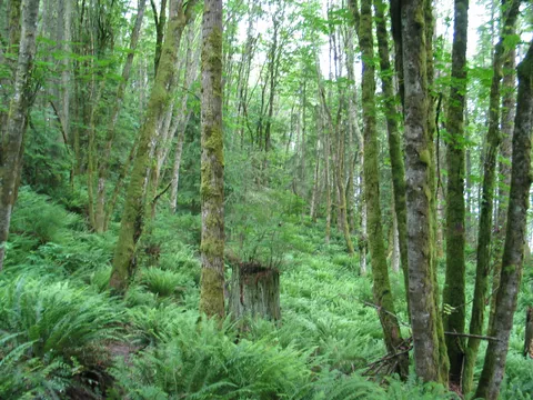
Trail Notes: The Oyster Dome hike lies to the west of the beginning of the Pacific Nortwest Trail. Don't ask me how one goes west from the trail head without a boat or wings! The trail itself starts off pretty steep wasting no time going up. The trail moves through a series of switch backs which are pretty wide as Northwest trails go. The grade eases a bit after about 20 minutes, and though the trail continues to gain elevation there are also fairly frequent flat parts of the trail to. The forest cover is a mix of decidious and connifers; the understory made up of lots of Sword Ferns and salal. It should be said that as hiking trails go this trail gains and loses quite a bit of elevation along the way, so the real vertical is probably 1/3 more than topographic numbers indicate. Keep it in mind!
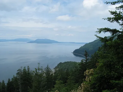
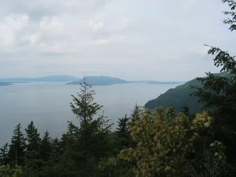
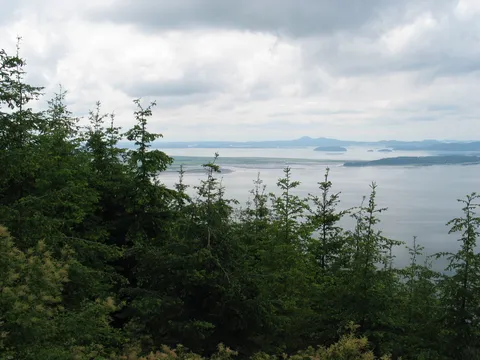
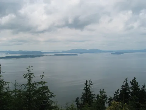
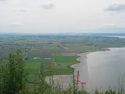
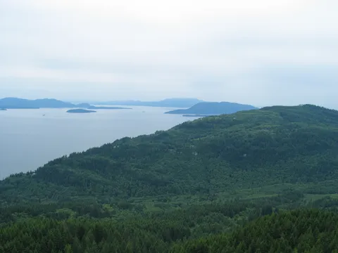
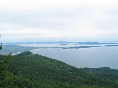
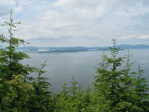
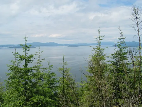
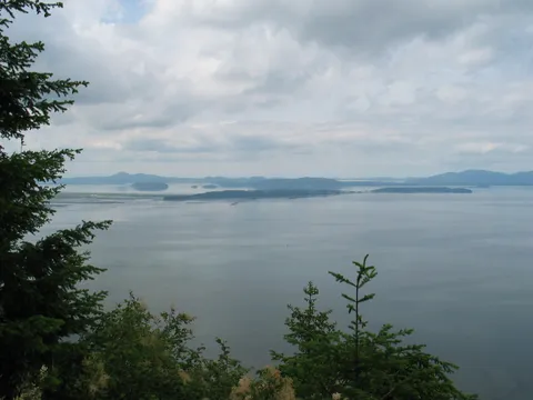
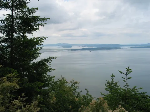
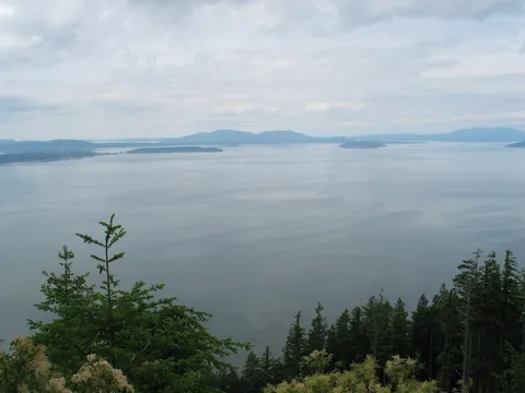
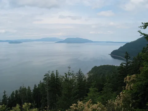
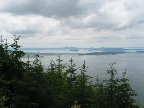
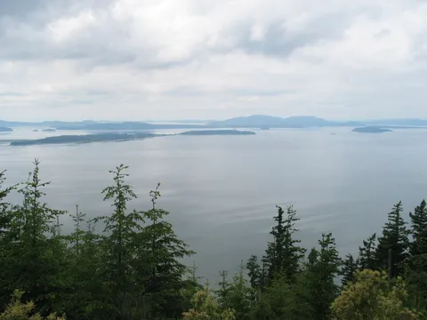
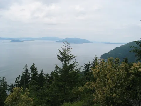
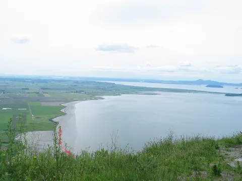
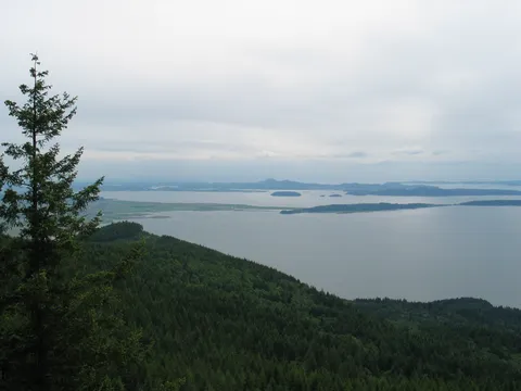
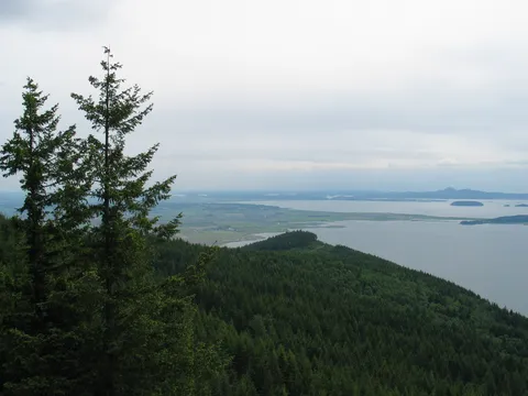
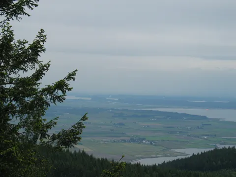
After about a half an hour the air takes on a mystical sort of feel. The trail continues on up for about 40 minutes or so, with fairly decent, if somewhat obstructed views of Samish Bay and Anacortes. Really makes the uphill climb seem to go by more easily!
About this time you will see a spur trail going off to the North in one of the switchbacks corners. As fate would have it we missed this turn off. How you ask? Well there was a couple with a dog, which apparently captured our attention fairly completely. Seems you need not leash you dog on this trail. In any event we continued up the trail another 20 minutes or so and found ourselves on what appears to be a forest service road. Surprise, and there were cars...and people...and hanggliders...and horses here? Hadn't expect this for sure. We spent a while here trying to figure out the way to Oyster Dome, eventually finding one of the hanggliders who knew the way.
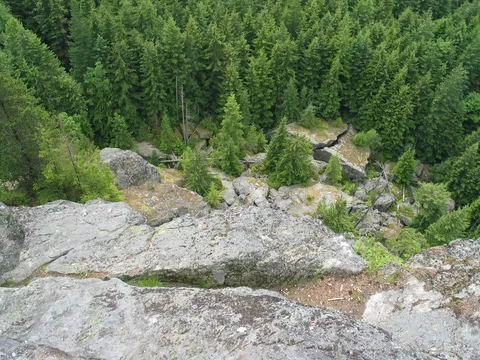
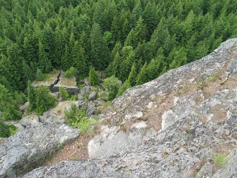
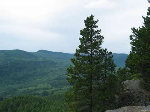
So we returned down the trail, found the spur and were off towards what we conjectured was Oyster Dome from where the hangliders were hanging out. The spur to Oyster Dome starts off very nice mostly a traverse with a couple short uphills. As you progress along getting closer to Oyster Dome the trail continually steepens, until it is downright nasty. About 25% of the way up this one passes another spur to the Bat Caves (formerly occupied by bats). We continued up and ultimatly arrived at a junction with another trail. From here you go North across the largest stream you are likely to cross, though no chance of getting your feet wet here. Then the trail becomes a easier though still decidedly uphill. When you arrive at the area where understory is completely gone you will almost be there. At this point the trail seems to disolve into nothingness. Just bear to the left and you will emerge at one of the overlooks on top of the Oyster Dome. I think the most Northerly of the outcrops is nicest.
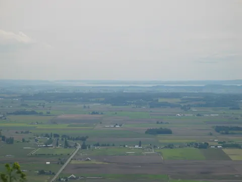
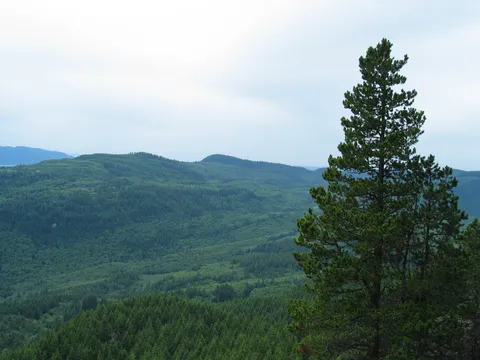
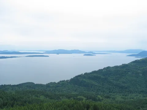
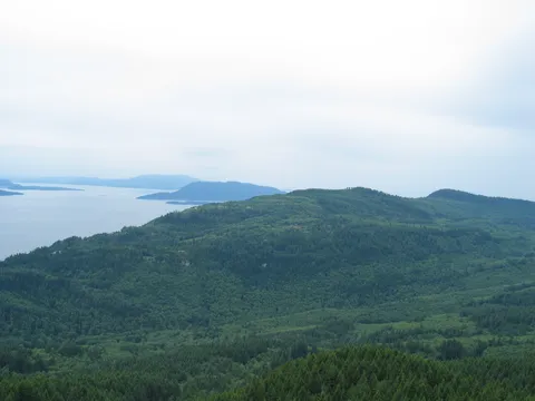
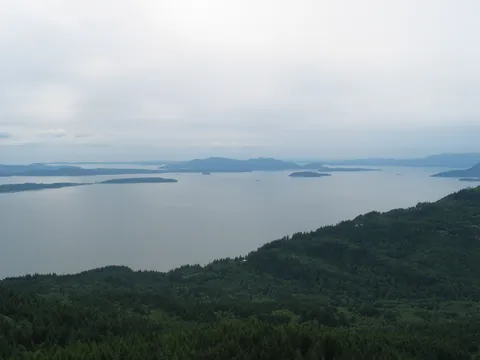
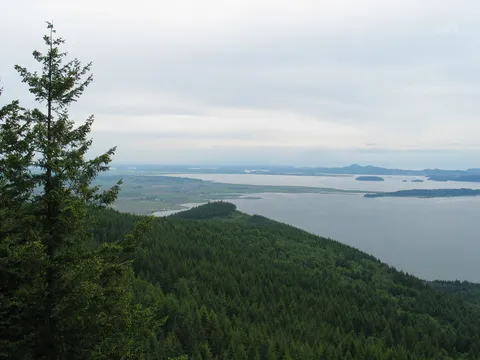
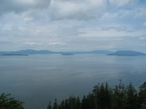
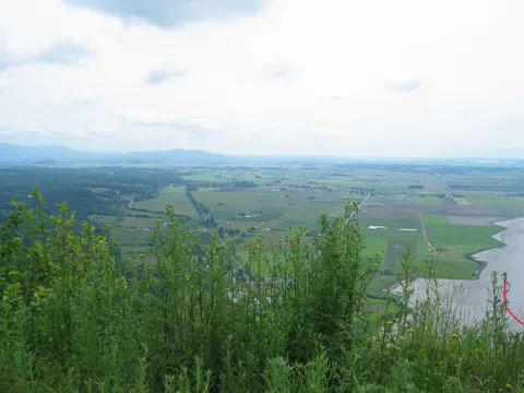
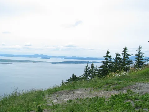
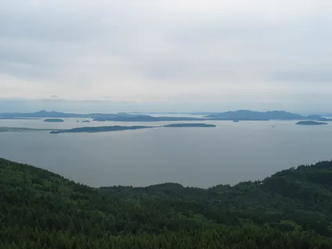
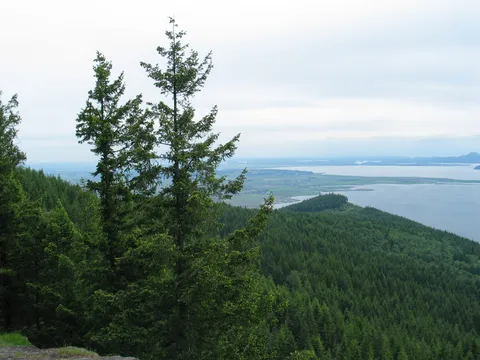
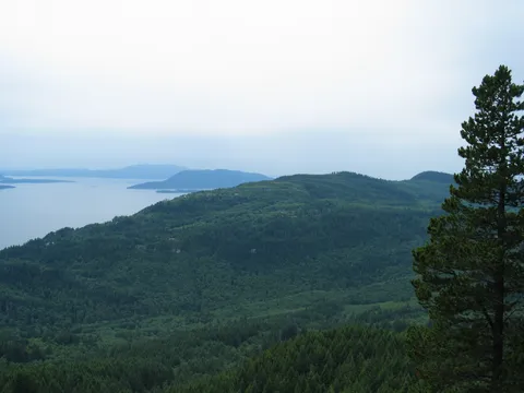
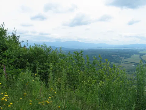
From here you can see just darn near everything, though the view to the South over Skagit valley is obstructed. If you want the valley view you might consider hiking to the forest service road. If one was out of shape or whatever it would be possible to drive to where the hangliders were and shorten the trip a bit.
Photos 45
Highest rated first