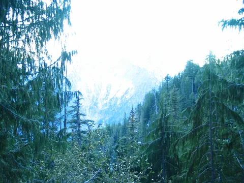
Sick Hike!!!!!
★★★★★
feb.23 2009 · Feb 23, 2010 · Easy
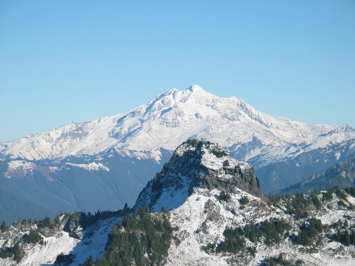
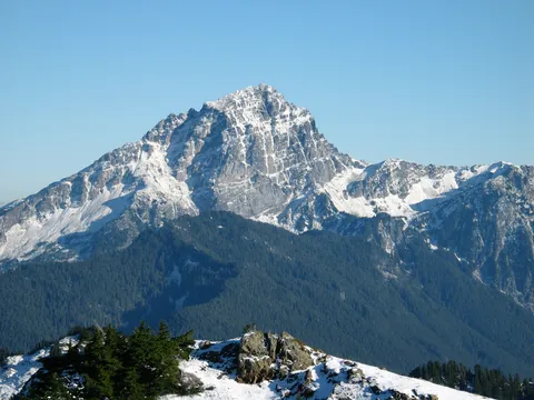
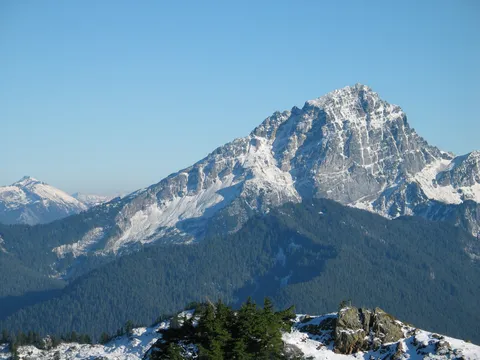
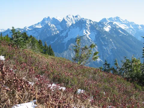
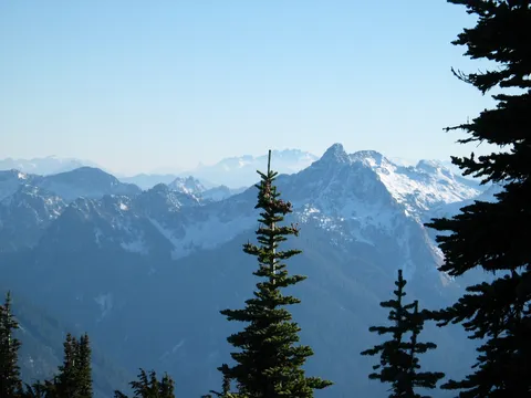
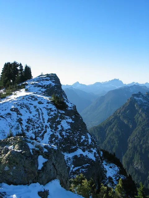
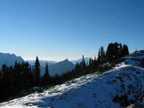
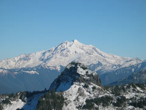
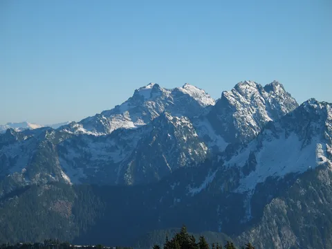
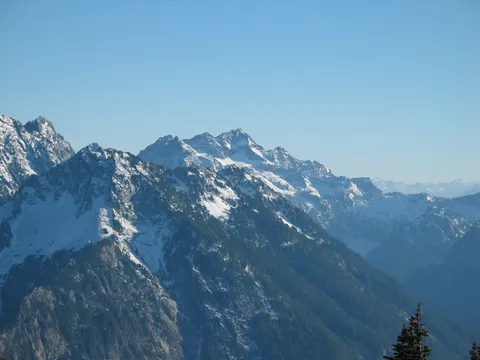
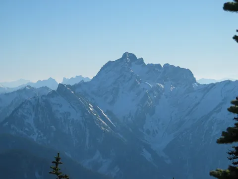
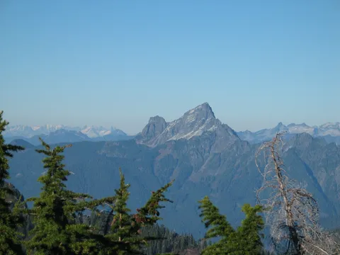
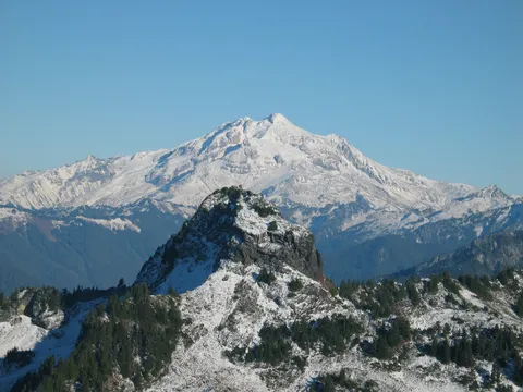
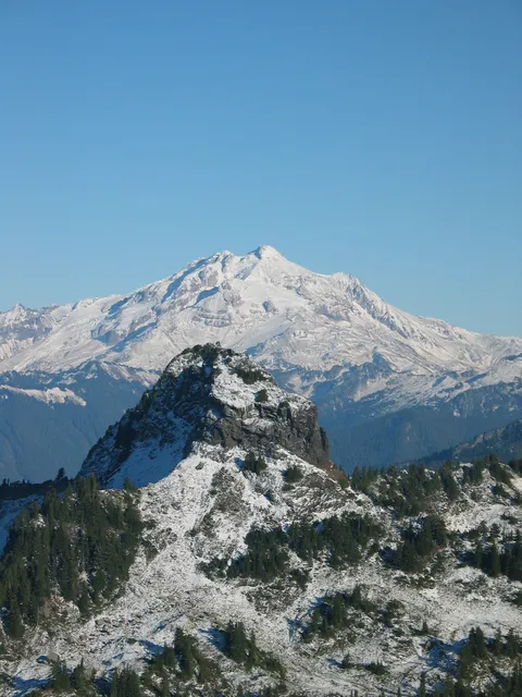
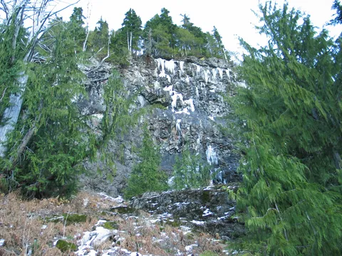
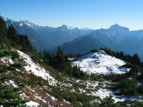
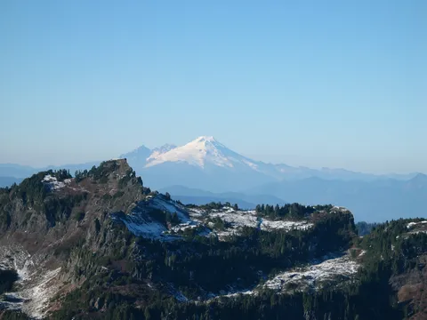
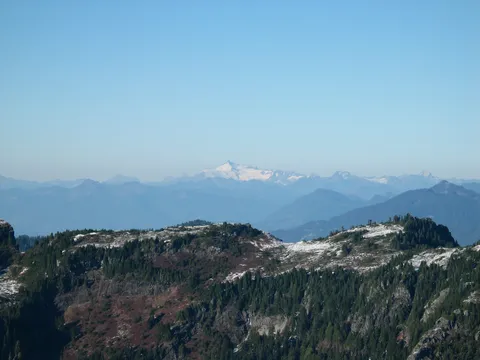
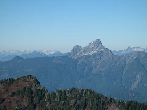
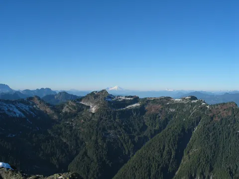
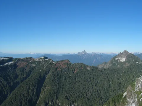
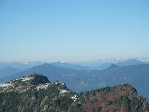
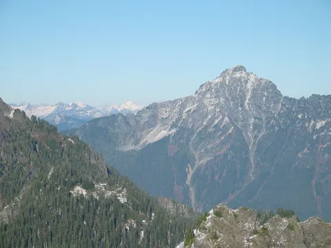
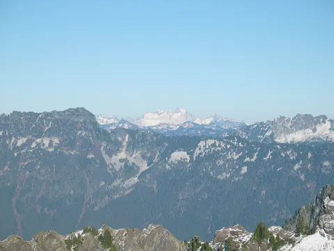
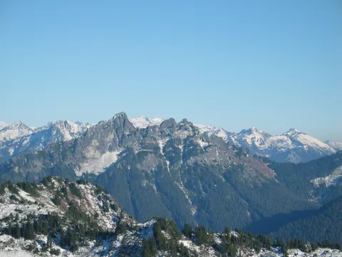
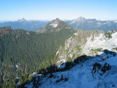
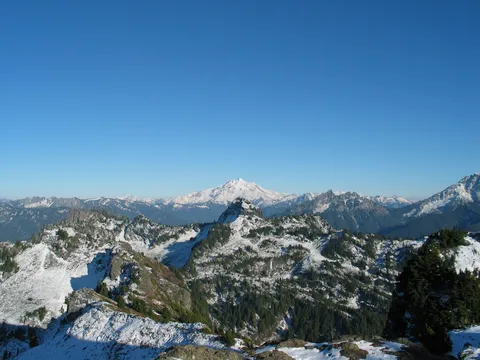
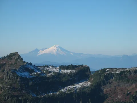
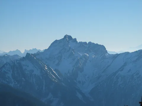
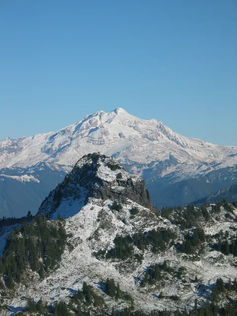
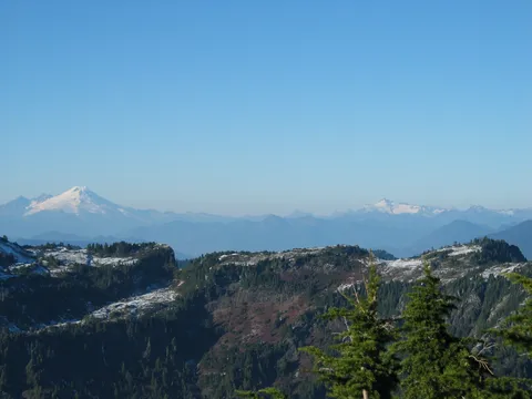
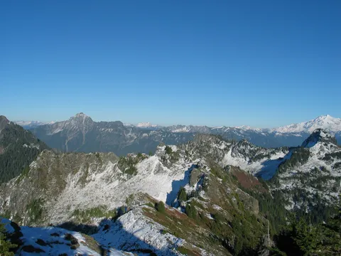
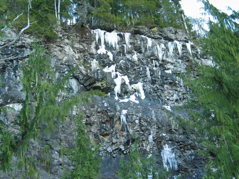
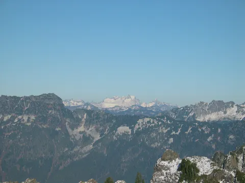
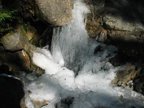
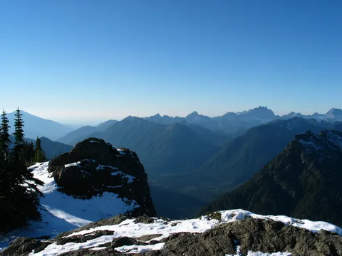
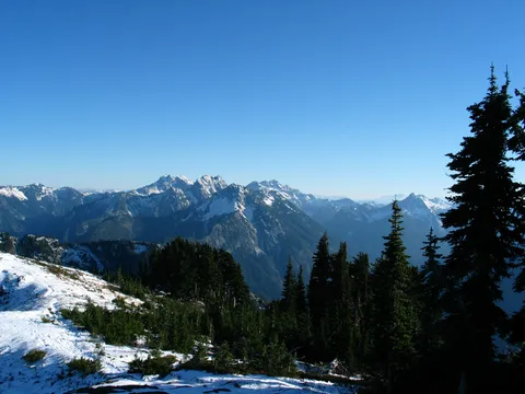
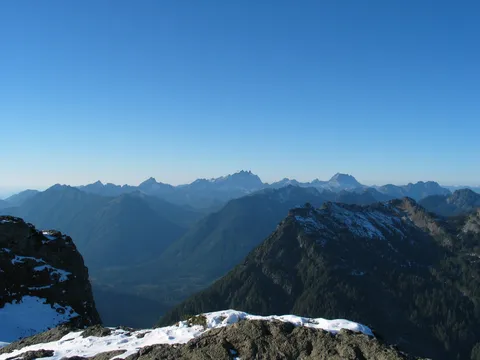
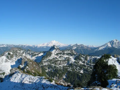
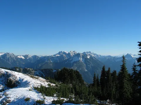
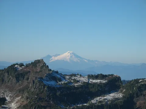
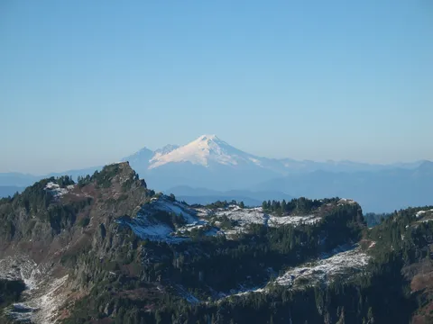
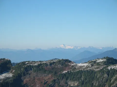
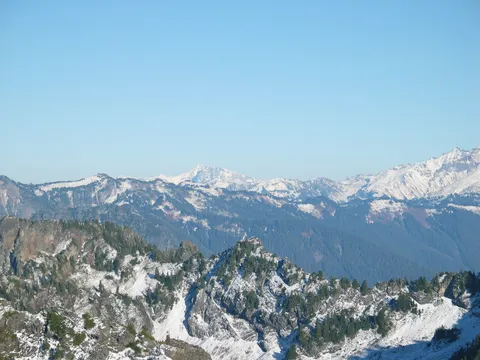
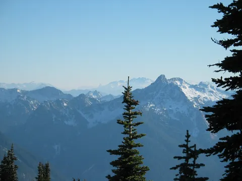
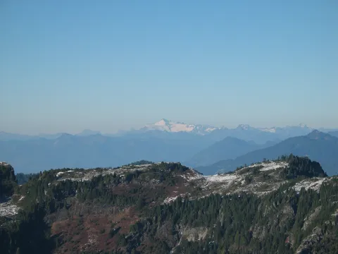
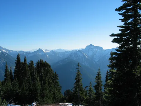
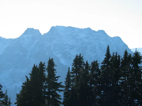
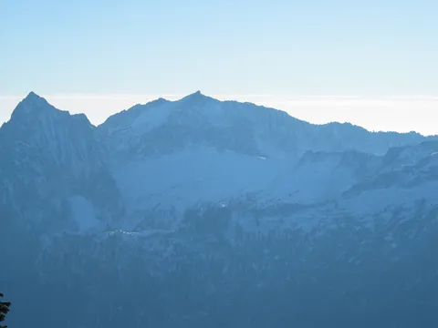
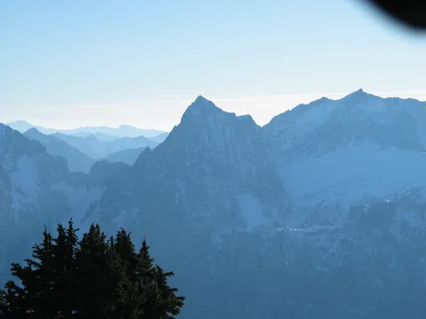
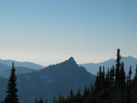
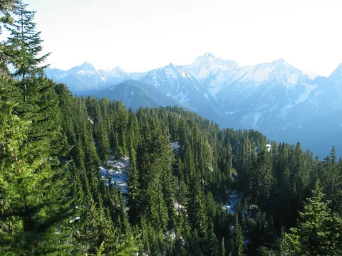
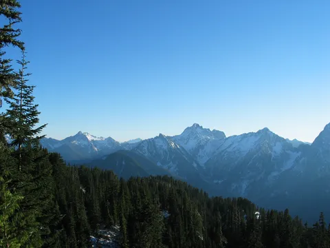
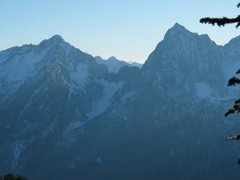
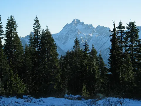
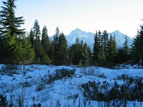
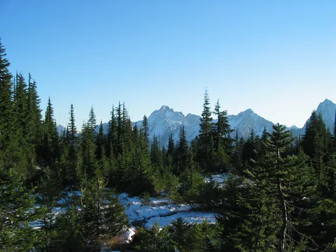
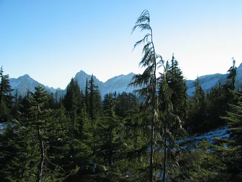
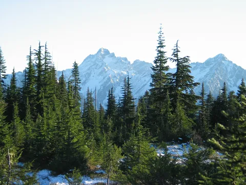
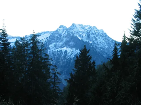
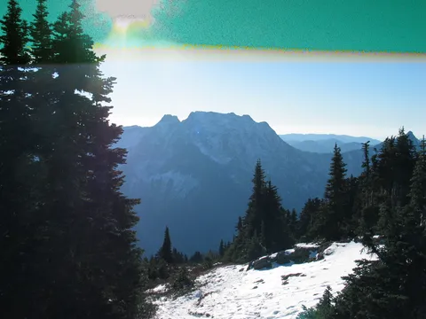
This hike was extremely easy, but the views are amazing! I reccommend this hike for all ages from infants to the elderly. Once you get to the summit you can see three fingers,pilchuck, and glacier peak it is fantsatic. Also there is a lot of ice and snow but most people would do fine with just some light hikers or running shoes. We started this hike at about twelve and returned to the car at three so allow about three or so hours the hike is eight miles and we jogged most of the way back. all in all a great hike!
Beautiful Hike
★★★★★
Anonymous · Jul 8, 2009 · Moderate +
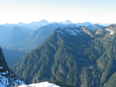
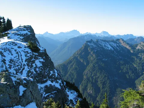
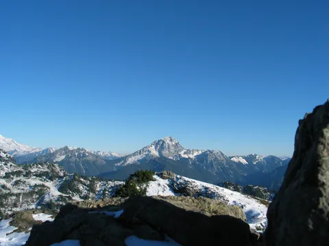
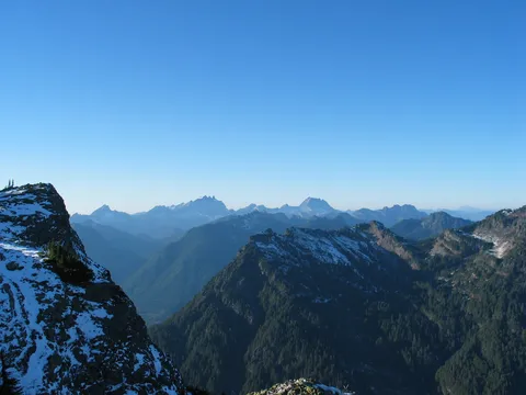
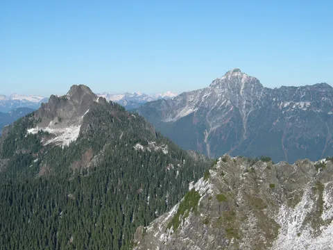
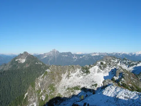
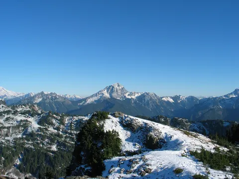
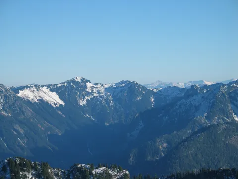
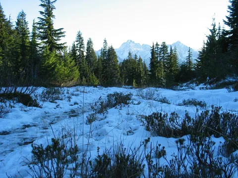
Hike up on July 3, 09. After the switchbacks end the trail becomes covered in 1-2 inches of water as the snow up top melts and runs down. There were still a few hard packed patches of snow that you have to cross, nothing a good pair of boots can't handle. Amazing views from the top, you are just surrounded by mountians everywhere you look. Well worth the effort a great hike!
Just Do it
★★★★★
Steve Putnam · Jul 2, 2009 · Moderate +
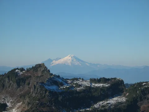
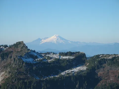
Did this hike on July 1 and I must say I am a new mountain loop proponent (having exhausted all of the I-90 options many times over). This hike is absolutely beautiful--on this day you could see the Olympics as they slope down to the Strait of Juan de Fuca, not to mention Glacier, Baker, even Rainier and Stuart. The last mile was still mostly snow-covered but as long as you pay attention to trail flags and the tracks of your fellow hikers you can easily summit in early July, '09.
Mt. Dickerman
★★★★★
Doug Wiese · Sep 18, 2008 · Strenuous
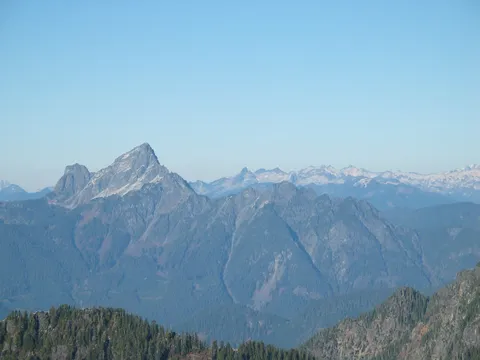
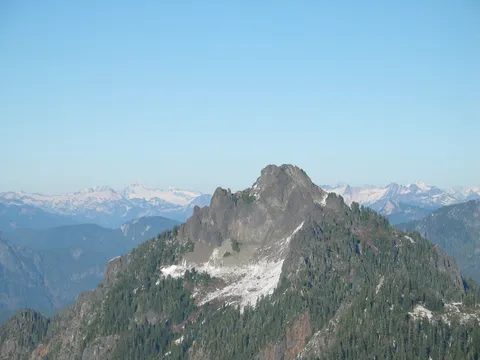
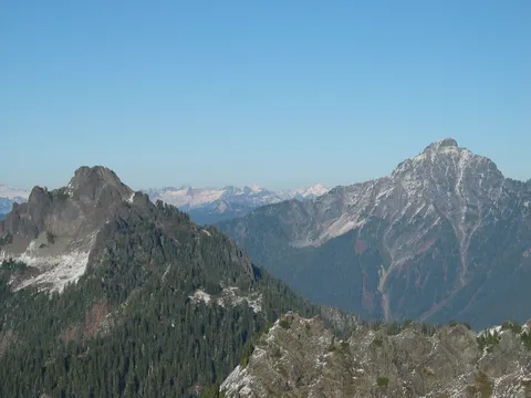
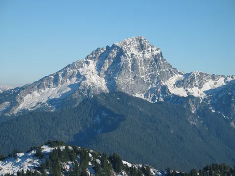
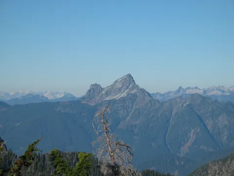
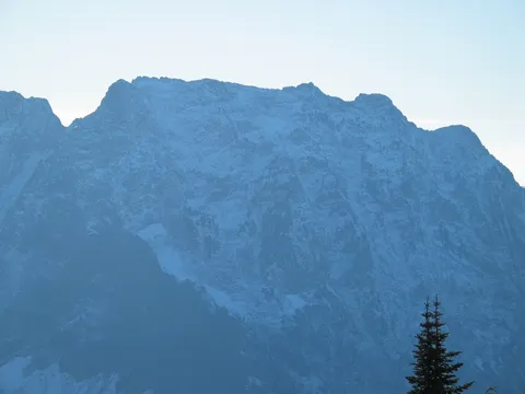
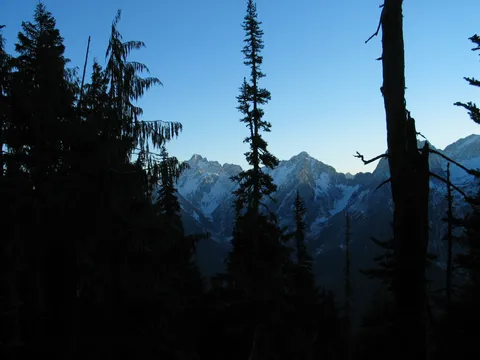
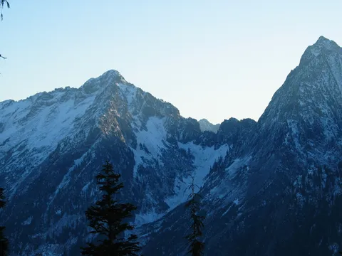
Amazing. The trail head is close to the road and easy to find. My choice was Mt. Si or Mt. Dickerman. Both about the same elevation gain. For my efforts, Mt. Dickerman has more for the pain and sweat. Patience is important. I didn't see anything other than forest until about 2 1/2 miles. Then you get a glimpse of Big Four Mtn and Speery Peak. From that point to the Top it's just plain beautiful. The day of the hike I could see Glacier peak, 3 Fingers, Baker, Rainier, Devils Peak, Hall Peak, Mt. Pilchuck, just to name a few. Go early and pack lots of water. If you go late summer, bring water for you dog.
half and half
★★★★★
tallteleboarder · Jun 3, 2007 · Moderate +
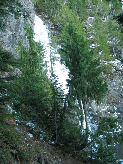
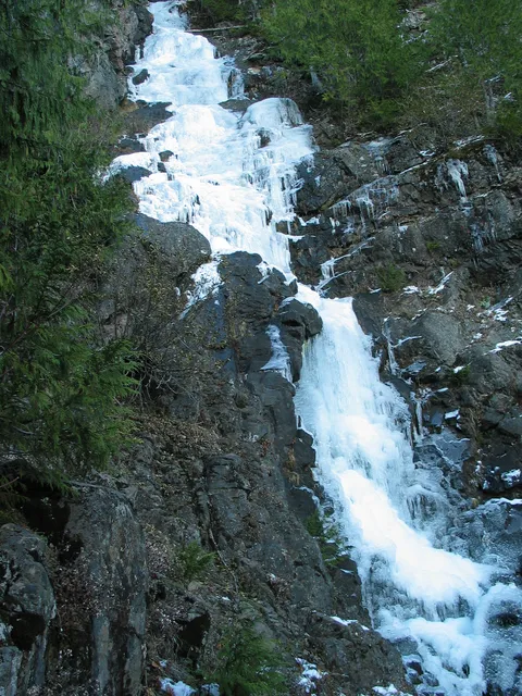
I arrived in the parking lot on friday at 9:00 and two other cars had arrived no more then 30sec before me. We were the first 3 cars. We passed the two groups early and continued switch back after switchback for and hour and fifteen minutes until we came to a large snowbridge over a creek with a large waterfall above it. The snow bridge did not look to safe to cross but there wasn't many other options. From the waterfall to the top was completely in snow. There were lots of tracks and easy to follow. There were about five times i crested a steep slope thinking I might be at the top only to find another snow field and another steep slope in the distance. At the top i made a very amaturish decision to see what was on the other side of the ridge only to find myself standing on a cornice with about an thousand foot vertical drop on the other side after my heart started beating regularly I found a rock to sit on and have lunch. It took about 2:45-3 hours to summit. The weather was perfect. You could see the olympic mountains, rainer, and mt schuckson from the top and every other mountain. The trip down went much quicker because we got to slide down half the mountain in snow. we made it down in and hour and a half. this was a great hike and would recommend it highly. We only sunk into a few holes in the snow but definatly be careful. And don't make the same mistake I did at the top and find a safe place to look north over the ridge from. I had a delema when rating the strenuousness of the hike because it did get the heart going but didn't feel unsafe I would give it 4.5 hikers.
Fun in the Rain
★★★★☆
Frank · Nov 4, 2006 · Strenuous
I just did this hike yesterday in the rain. I was a lot of fun. Didn't see anyone on the trail. The falls are still flowing and the trail is in great shape. Took me 2.5 hours up and 2 hours down. Down side - it was cloudy and there was no view.
I must be getting old
★★★★★
Martin · Sep 10, 2006 · Strenuous
Went up again on Friday, 8 Sept. My second climb, and my girlfriend's first. Perfect day; no clouds at all and temps in the mid-70s. Most of the other reviewers seem to say that, for the elevation gain, the climb is not too tough. Well, this climb liked to have kicked my butt, I have to admit. My excuse is that I was down with a viral infection from a mosquito bite 2 weeks ago (3 1/2 days in the hospital), and I must still be lacking some stamina and strength, but that's just my excuse. Seemed like I had to stop and rest about every 150 yards during the last mile or so, with my girlfriend giving me the wary eye most every time. Made it, though, and definitely worth the effort. No doubt about that. We even had the summit completely to ourselves for the hour + that we were on top. Simply spectacular. The blueberries are just coming out, too. We came back with about a cup and a half, and the fresh wild blueberry muffins were really, really good. For general info, the Mountain Loop Hightway is still closed at Barlow Pass. Also, the Verlot Public Service Center is now only open on weekends (after the 5th), and Green Gables was completely out of NW Forest Passes. Had to settle for a day pass from the machine at the Service Center (my last annual pass had expired in August). Great site, by the way. Thanks very much.
Mt Dickerman
★★★★★
Chuck Powrie · Jul 13, 2006 · Moderate +
This is one of my favorite hikes. Did it July 3, 2006. Mostly snow free, only short sections of snow. Views were great at the top.
Fantastic Hike
★★★★★
KathyD · Oct 24, 2005 · Moderate +
Went on this hike yesterday, 10/23/05, and absolutely loved it. For the elevation gain, the trail was rather forgiving thanks to the switchbacks. Even though the weather was cloudy, we were still able to get some really good views of the neighboring peaks. Glad I went.
It's a winner!
★★★★★
Di · Jul 24, 2005 · Moderate +
Today I climbed Dickerman again. I had not climbed it all the way for two years (since about July 2003). In 2004 I was sidelined by an ACL tear (having surgey in July 2004). After my recovery, I did a lot of other local "conditioning" hikes, including Si and Tiger (out of convenience and also knowledge of the Dickerman downward trip being hard on the knees and quads).
I must say that I forgot what I was missing! Although Si is a good workout, it is just too crowded, many don't know trail etiquette, and the toilets stink so much that I gagged in them on July 4.
Today on Dickerman, I had the best time. I climbed alone, just to get some away time. I loved it. There really are great views all the way up (of course the best is at the top). Since it's been two years, I finally have been able to shrug off the count of switchbacks given by a teenager I ran into at that time. I don't think I ran into a single person who didn't know etiquette. Up and down, we each stepped aside for the other direction. Even the dogs were great (of course I had to stop and pet each one).
The only drawback was my knee. It only took me 2.25 hours to get up but 3.5 hours to get down. Yet, that's not the mountain's fault.
Dickerman has once again become my conditioning hike of choice! You will not be disappointed. Take lots of water.
YAh
★★★★☆
Colin · May 30, 2005 · Moderate +
Hiked up on may 28th. Very nice hike i like the switchbacks. The hike is alot better than mt. SI. Amazing views at the top and alot less snow then march 11th when i did it last. After i finished i worked a 6pm to 2am. I am still recovering.
Bring a camera
★★★★★
LRH · May 20, 2005 · Moderate
My brother was visiting from the East Coast and we were eager to hit the trail. The morning drive up on I-5 from Seattle was pleasant enough and the backroads, especially Mtn. Loop Rd. provided a nice transition "into the wild". The folks at the Verlot Ranger Station were super helpful and very enthusiastic -- great ambassadors.
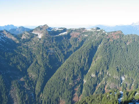
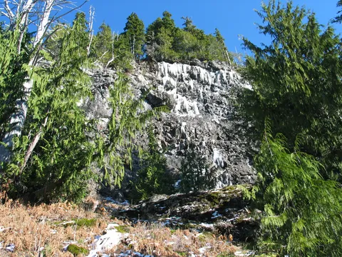
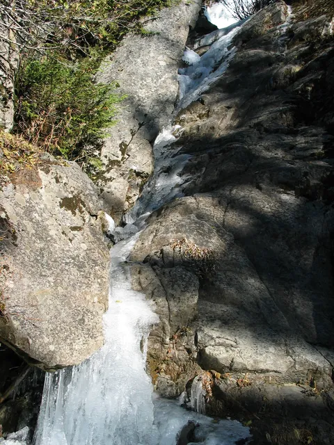
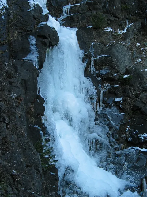
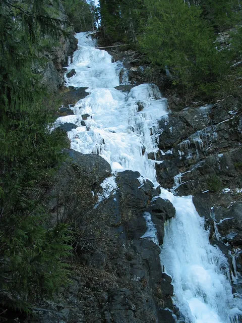
From the moment we got on trail we knew it would be an all star hike -- and it was. The grade was ideal for a cranking up the heartbeat but not too severe as to prevent conversation. You're under tree cover for awhile, catching a few views as you ascend. There is a great stream crossing feed by a monster waterfall. It's the perfect place to fill up the water bottle -- ice cold and crystal clear. You come across the falls a couple of more times as you wind your way up and begin to catch views all around -- snow capped beasts as far as the eye can see.
Near the later part of the hike we came across some snowfields -- pretty straightforward and passable w/o gaiters if you do not have any. I would definitely suggest trekking poles and sunglasses for this section (and a trash bag to slide on the way down). The summit is broad and ideal for soaking up the air/sun/views.
As far as crowds, we saw a fellow humanoid at the summit and three on the way down ? besides that we had the mountain to ourselves. Wildlife was limited to the avian variety -- a type of grouse or partridge and a crow/raven that was giving us a show in the thermals at the peak.
Overall, a great recharge on an outstanding and very doable day hike.
A postholing good time
★★★★☆
Ken Dold · May 4, 2005 · Moderate +
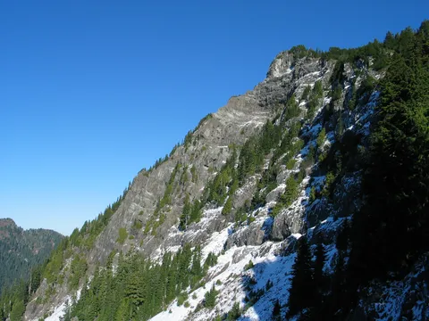
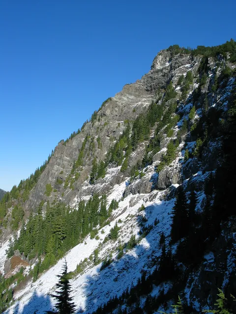
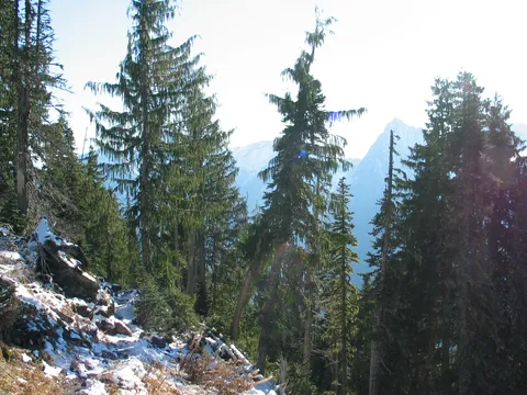
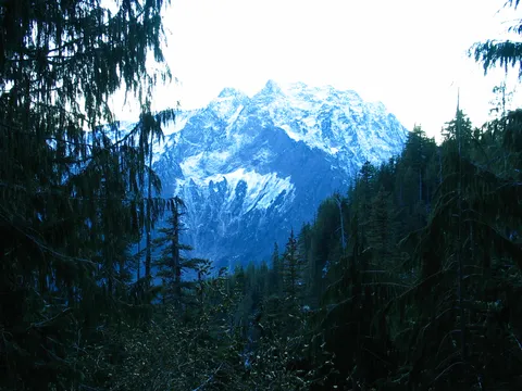
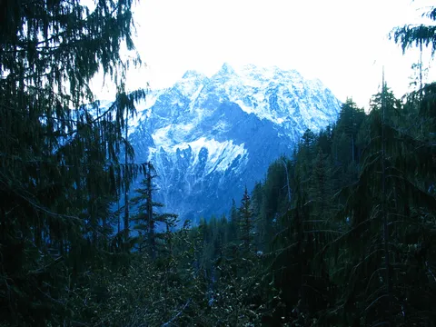
I hiked up Mt. Dickerman on Friday, April 22. The trail starts out very nice...gorgeous trees and shrubbery. Some birds were singing, mountain flowers were starting to bloom and I caught some pretty spectacular glimpses of Big Four through the trees. After about an hour, there is a slight trail deviation that allows you to go to a small outcrop to get your first great view of Big Four - what a spectacular mountain! I was pretty happy at this point.
The switchbacking continued and, soon after that, I hit the snow.
The day turned out to be fairly warm (mid-70s), so I was soon doing 2 things on a regular basis: post-holing (up to my waist at times) and wishing I had brought snowshoes. I reached the gully that is a short-cut in the winter to the peak and lost the trail in snowdrifts and I was just plain tuckered out from wading through the snow. The warmth must have really softened the snow up dramatically and I made the decision to turn around. My decision was helped along by the fact that I lost one of the snow baskets from my trekking poles, basically rendering useless one of the poles.
However, I needed a win ... so I scrambled up the gully (getting soaked in the process) to a good vantage point where I could take some good shots of Big Four and Vesper. I then turned around, post-holed my way back to the snow line and went back to the car.
I would love to try this hike in the summer.
Mt. Dickerman
★★★★★
Colin · Apr 10, 2005 · Moderate
I just did THis hike March 11th of 2005. I really enjoyed it. it was a nice workout for me. I hike about three times a week so it wasn't to hard. I have heard friends say that it is reallly tough but, no.
I thought that their was alot of snow, considering all i had were some day hiking boots and no sunglasses. I was blinded for the last two miles of the hike. I was slipping alot and people around me that i saw had snow shoes, snow axe, or hiking sticks. On my way down, when their was no snow on the ground, I passes an old guy that said THe snow was really low, usually where we were talking on the trail would be covered
Dickerman: View Hike Supreme
★★★★★
J Lee · Oct 15, 2004 · Moderate
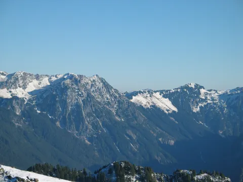
Most important thing to know about this hike: don’t do it on a cloudy day. You might as well climb stairs. But if it’s a clear day the views from the upper section and the peak are absolute eye poppers. Baker to Rainier, Olympics to the Sawtooths. I mean, wow! This is a top tier view hike, one of Washington’s best non-technical hikes in that regard. It’s quite a chunk of vertical, yes, but as others here have noted it’s well graded and maintained. It’s very doable for most people and for fast hikers it’s an easy goal. I went from the parking lot to the peak in just over two hours yesterday.
Some corrections (with respect) of misleading details I noted in other reviews here: it is actually quite easy to miss the waterfall because it doesn’t exist in late summer/early fall; it’s only about 3700 feet of climbing total and there are no descents on the way in; it is not difficult to get to the top and it is not an unpopular hike- quite the contrary, you will see lots of people here on any decent day; there is plenty of water along this trail even in late summer, albeit from small streams (what else would it be from, a water fountain?); and that is not what I would call a small parking lot!
Keep in mind that the first half or so of this trail (the switchback section) is under deep forest cover and is about as monotonous as Mt Si. Don’t let that stop you. Go on up at least as far as the top of the switchbacks to where you can look across at Big Four. After that you will see more frequent glimpses of the amazing scene to come, which will propel you the rest of the way up. You won’t regret it. Oh, and one other thing: in season there are gobs of good berries on the upper section. Enjoy.
Mt Dickerman is worth the hike
★★★★★
YF · Sep 13, 2004 · Moderate +
The trails are excellently maintained. Views from the top are great. The trails are moderately graded so not too strenuous. Just a long, sustained hike till the meadows where the trails are relatively gentle. Well worth the hike. The rangers at Verlot Ranger Station (the closest ranger station to Mt Dickerman) are wonderfully helpful in providing information regarding this or any other trails nearby.
On and On
★★★★★
Rob · Aug 18, 2004 · Strenuous
I hiked this last weekend and it's definitely a worthwhile hike if you feel like you're up to it.
After about 2-3 hours of hiking switchback after switchback you come out into some open areas and things start to get a little more interesting.
There are a few glimpses through the trees of the view on the way up but not really much, you know you've climbed a long way up but your not really sure how far.
After getting out of the dense forest you come to a more open part of the hike from the first bit. This is where it gets a bit more pleasant, it levels out slightly and gives you a bit of a chance of a break before the last mile or so which really burns the leg muscles out.
The peak is well worth getting to, if you don't make it more than 3/4 of the way up it's probably not really worth doing the hike if you're there for the view. The best views are in the last mile or so.
The top has an amazing view and because it's fairly difficult to get to you wont be disturbed by many other people like you might be on some of the more popular hikes.
My only criticism of this hike is that going down seems to go on forever because of all of the switchbacks.
Also, there's no water anywhere on the hike save a few tiny streams so make sure you take plenty of water with you. The last part if particularly exposed to the sun so it can get pretty hot even though you're high up.
I'd thoroughly recommend this hike, it's quiet, strenuous and if you do make it to the top you feel you deserve the view.
Excelente
★★★★★
Lulú Garcia · Aug 8, 2004 · Moderate +
Today (08/08/04) I had the choice of going to a wild party (Sea Fair) or going on a Hike, I decided for the healthier one. I guess I couldn't have a better day for it, it was beautiful and the views from the top where awesome....you could even see the peak of Rainier. It is a steep hike but definitely worth it.