

Perry Creek & Mt. Forgotten

4.6 out of 5, (5) Mt. Baker National Forest-Snoqualmie, WA Moderate 2 trip reports · 71 photos
Round trip
8 mi
Elevation gain
3,100 ft
High point
5,200 ft
Difficulty
Moderate +
Season
Jun – Oct
Pass
None
Dogs
Allowed usually
Trip report

October 16, 2005

by John Munyan with alexi
Moderate + 6 hours Verdict: Good
★★★★★ 4.3 out of 5 from 3 votes · log in to vote

Directions: From Seattle drive north on Interstate 5 to Exit 194/City Center/Stevens Pass. Drive six miles east on US 2 to the Highway 9 exit near Snohomish. Follow Highway 9 north to US 92.Turn right and follow US 92 eight miles east to Granite Falls. At the end of town, turn left (north) on the Mountain Loop Highway. Drive 12 miles to the Verlot Public Service Center and another 15.2 miles to Perry Creek Road/Forest Service Road 4063. Turn left (north) and travel one mile to the roads end and the trailhead.

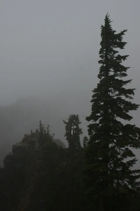
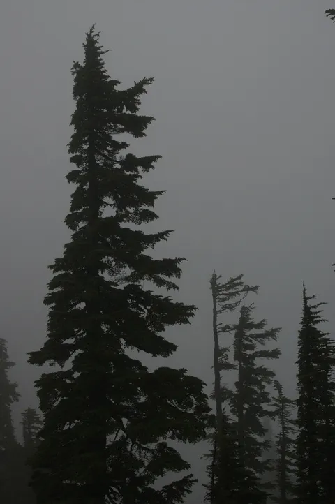
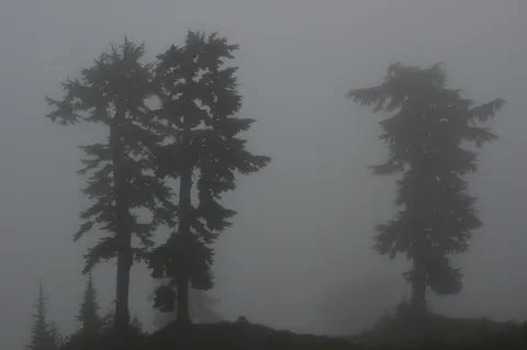
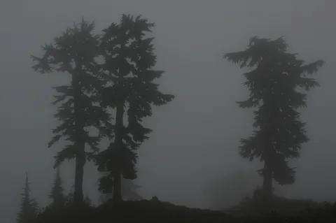
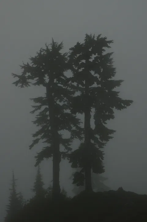
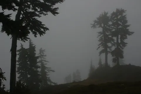
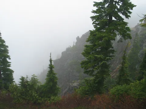
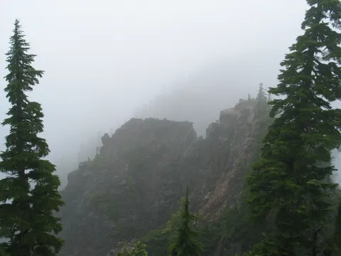
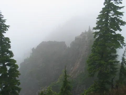
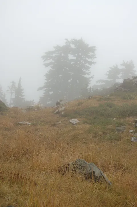
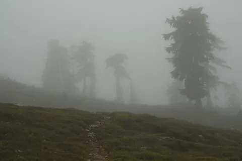
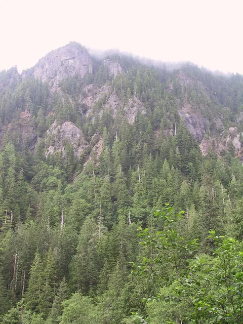
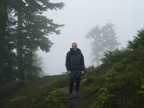
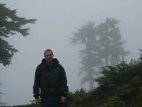
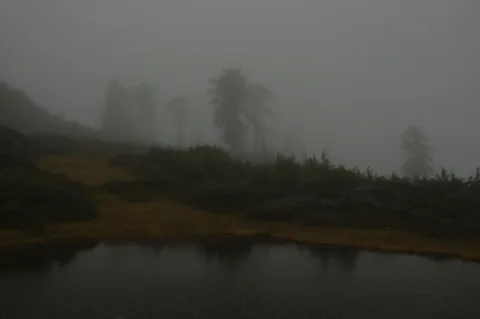
Trail Notes: I have tried to hike this trail before a couple times.  One time I was turned back since the person I was hiking with ran out of energy, another time I was turned back by snow in November.  This time we made it to the top but the weather was cloudy so the views weren't all they could have been.  Still the overcast rainy weather made for a relativly solitary hike.  On the way up we did not see anyone.  On the return we passed six people in two groups.

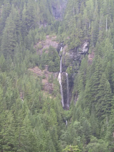
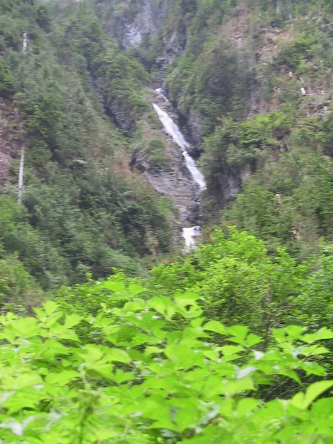
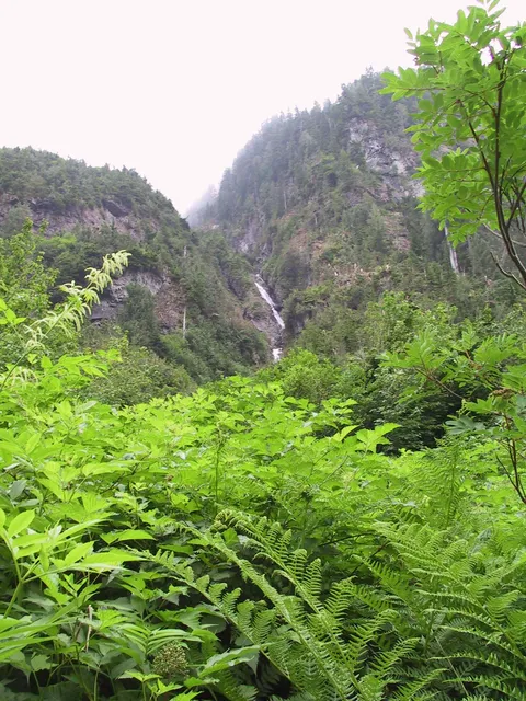
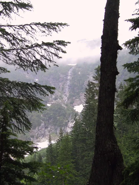
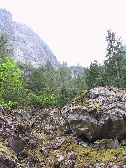
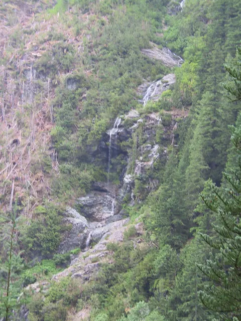
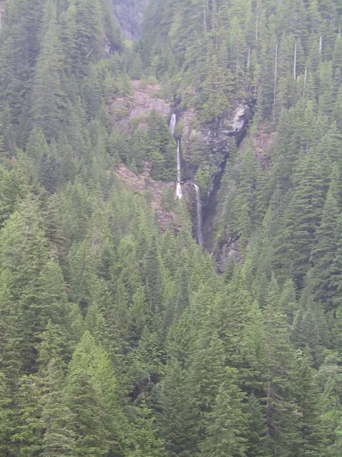
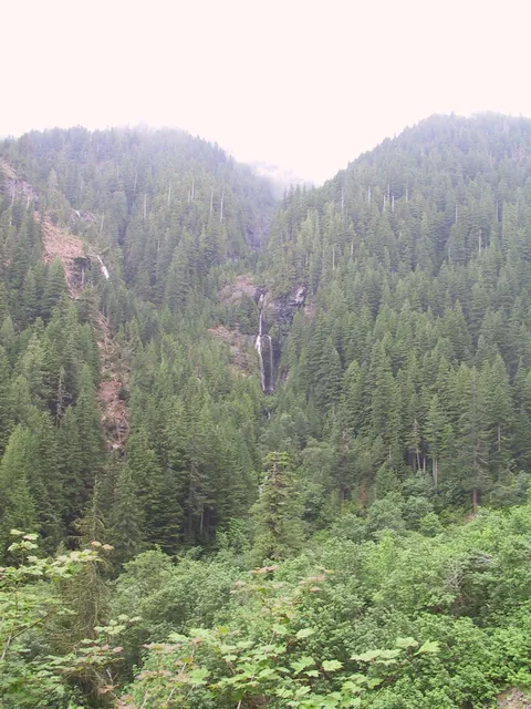
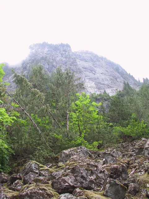
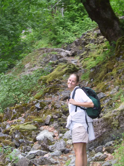
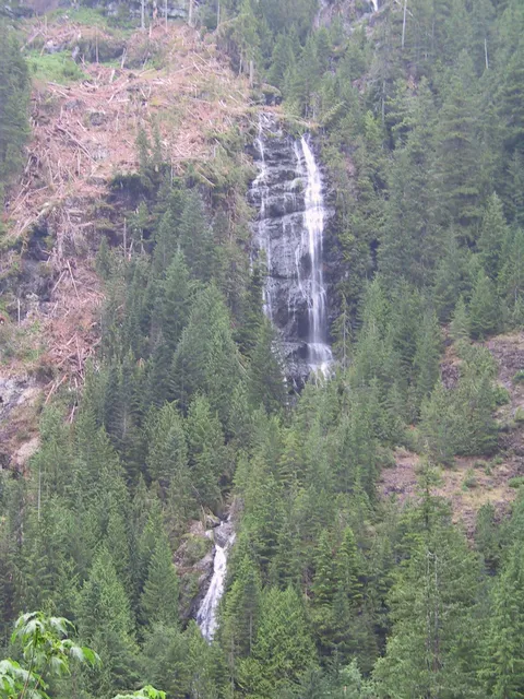
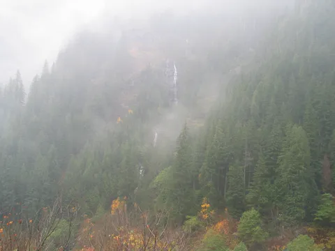
The hike itself starts off fairly easily on a gradual uphill grade.  The hike runs along the southern wall of the valley several hundred fee above the valley floor.  The trail is rocky and gains elevation relativly pleasantly with occassional views of waterfalls across the valley.  Some of the waterfalls are very tall, maybe 1000 to 15000 feet tall in total.

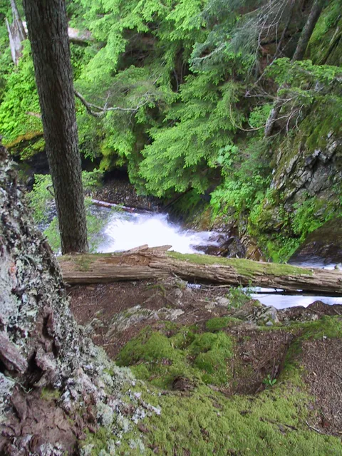
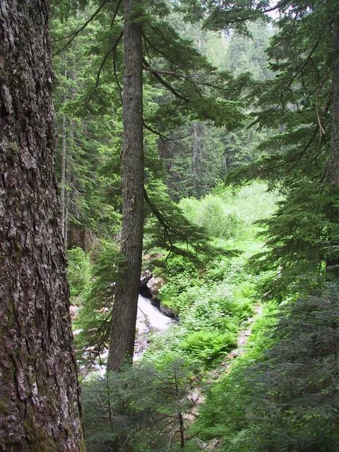
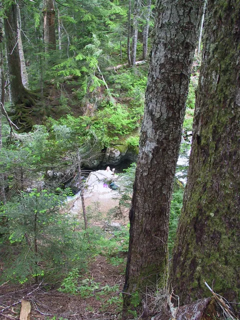
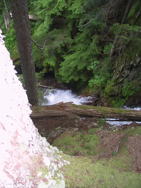
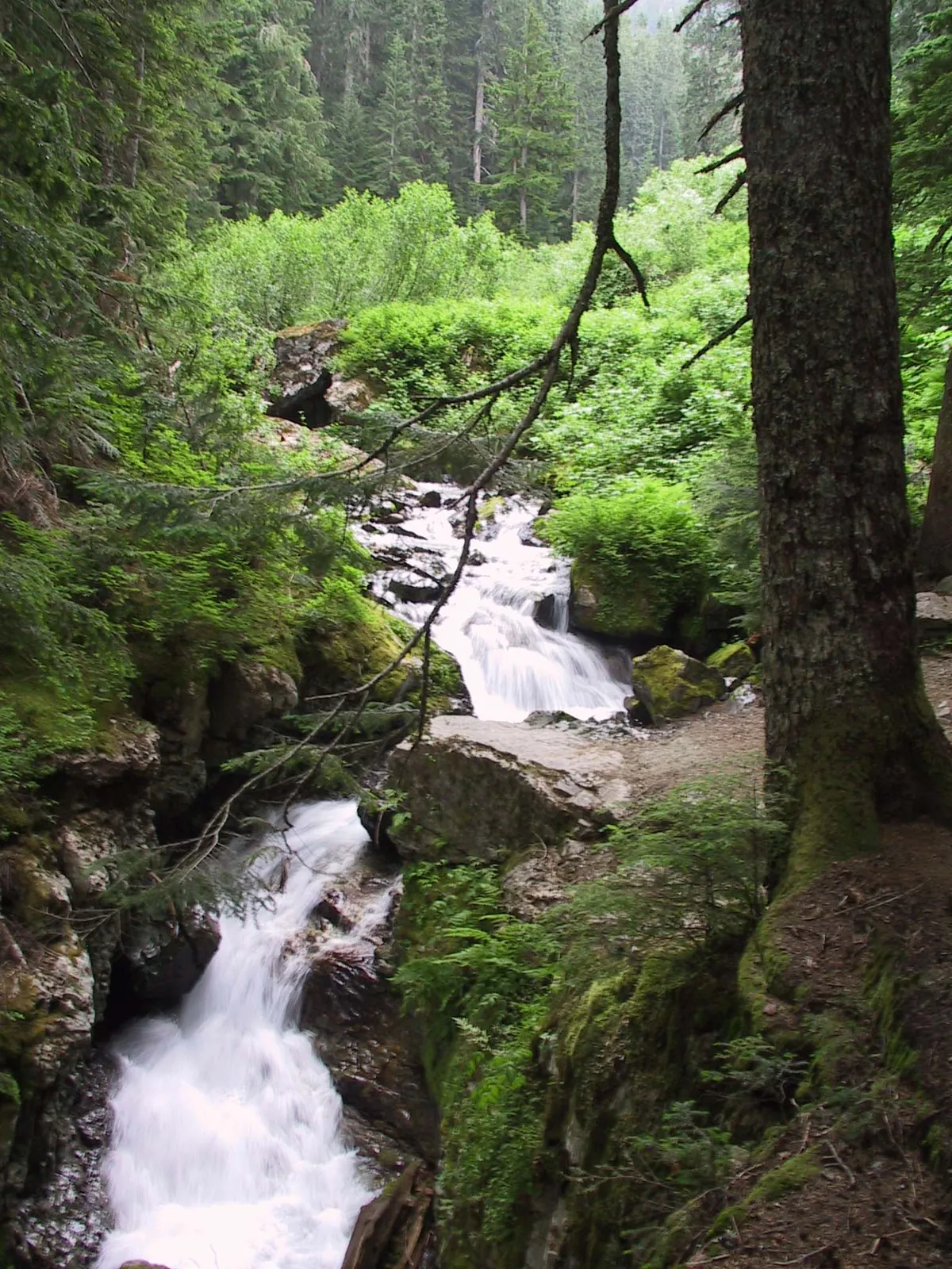
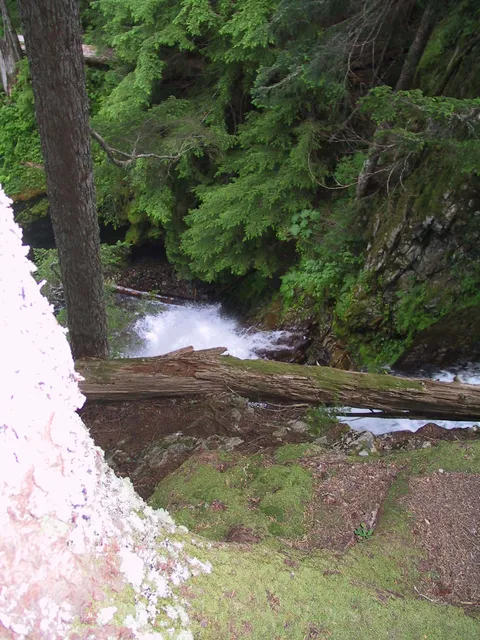
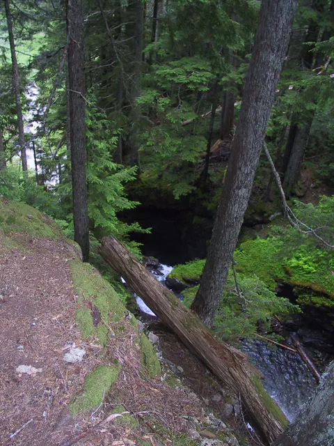
At the end of the valley you will spy some trees immediatly after the valley rounds a corner.  Here is a large waterfall, and the remanants of a guard rail.  The view is nice but the falls are pretty much hidden by the surrounding rocks.  Care should be taken not to get too close to the edge of the rocks - the fall would be nasty.

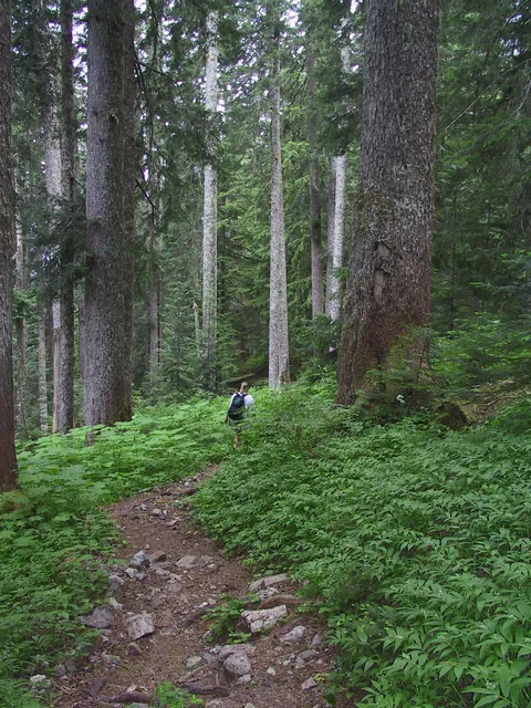
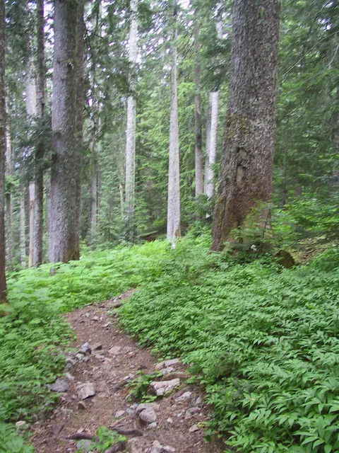
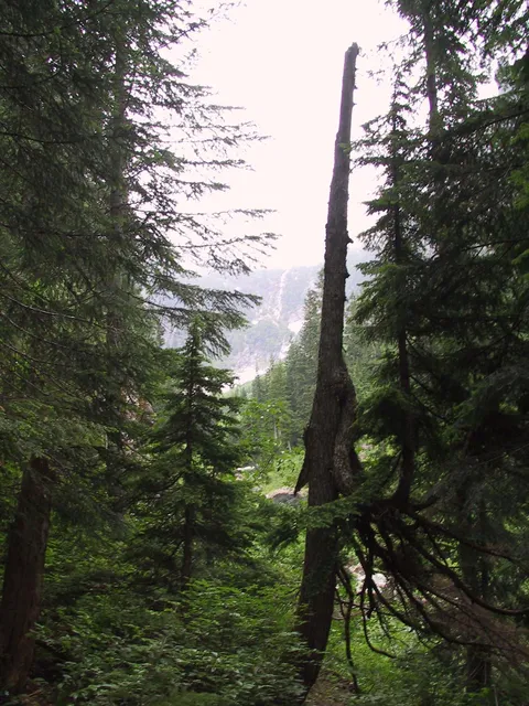
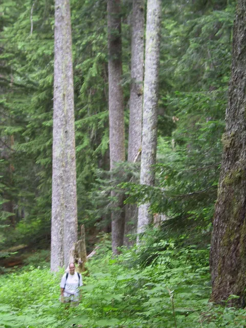
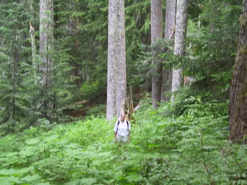
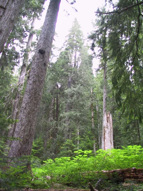
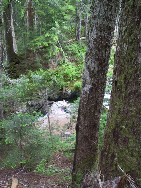
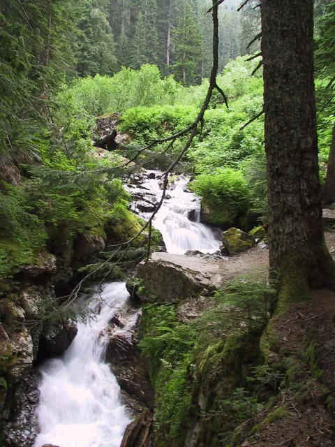
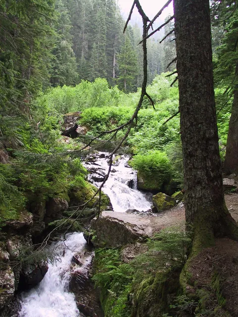
From here the trail crosses the creek on a giant log which in the rain could be slippery.  I opted for the log while Alex opted for the trail ajacent to the log - probably a wise choice.  In any event this point marks a dramatic change in the demeanor of the trail.  From here the going getts significantly steeper winding up a root covered trail through old growth trees.  This section of the trail was very nice, offering localized views of the clouds making their way up the opposite valley wall.  Very tranquil.

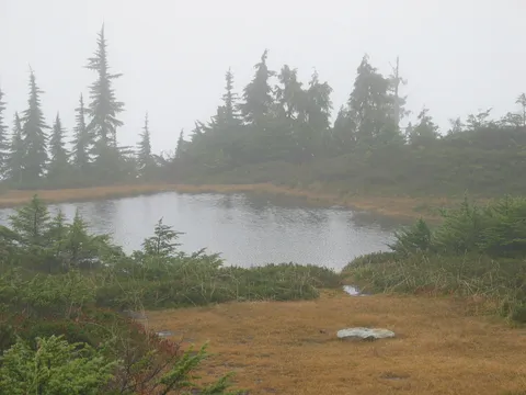
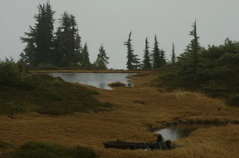
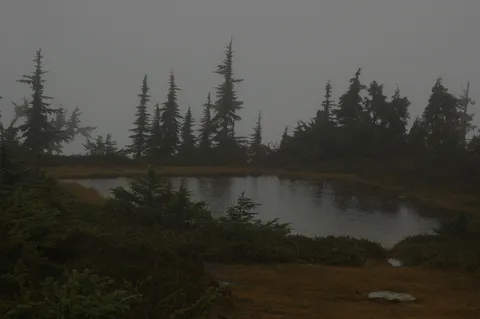
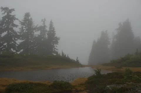
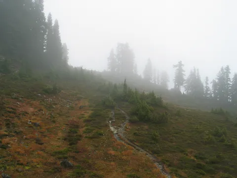
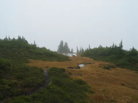
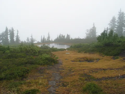
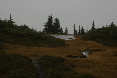
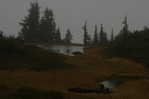
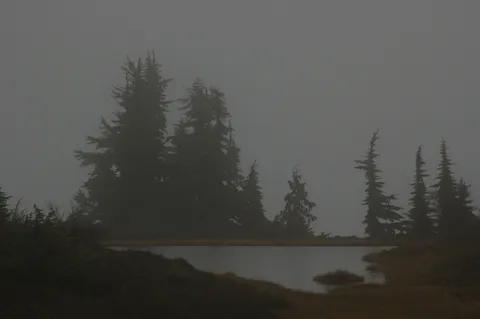
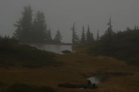
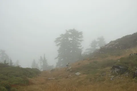
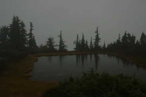
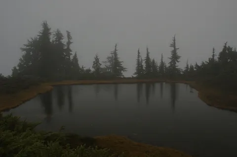
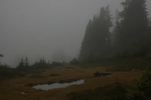
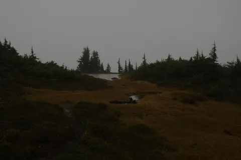
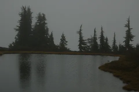
After an hour or so you make your way to the meadows which if the clouds weren't present would have offered grand views of Glacier Peak and Mt. Dickerman I would imagine.  Following the path from here takes you to a cirque lake and ultimately the top of Mt. Forgotten.  This section of the trail is exposed, and during our hike was windy, wet and cold.  I actually wound up with a little wind burn.

On balance I would think this hike is really pretty nice in terms of views.  I would expect this to be a lesserly traveled trail during the high season too.  Still consider this is a pretty long steep hike.

Photos 37

Highest rated first
Trip report

July 27, 2002

Moderate 4 hours Verdict: Okay
★★★★★ 5.0 out of 5 from 2 votes · log in to vote

Directions: From Seattle drive north on Interstate 5 to Exit 194/City Center/Stevens Pass. Drive six miles east on US 2 to the Highway 9 exit near Snohomish. Follow Highway 9 north to US 92.Turn right and follow US 92 eight miles east to Granite Falls. At the end of town, turn left (north) on the Mountain Loop Highway. Drive 12 miles to the Verlot Public Service Center and another 15.2 miles to Perry Creek Road/Forest Service Road 4063. Turn left (north) and travel one mile to the roads end and the trailhead.

Trail notes: Deep old-growth forest, misty waterfalls, open meadows and alpine views-this far-western Cascade Mountains trail has it all. The pace is moderate and pleasing for the first two miles to Perry Creek Falls, which has a good lunch spot. In another 1.5 miles, the trail leaves the forest and enters the first of an expansive stretch of meadows. Most people stop here, relax, take a nap, and head back down. But more determined hikers and certainly climbers will want to continue, following the increasingly narrow trail, then just a lot of steep, crumbled rock, to the top of Mount Forgotten (elevation 6,005 feet).Views of surrounding peaks are outstanding here, from the main trails end or the summit. We always intend to go back up Perry Creek and actually climb Mount Forgotten. But for reasons we cant really explain, it keeps slipping our minds. The total elevation gain is about 3,000 feet to the end of the trail, 1,100 feet to the falls overlook.

Photos 34

Highest rated first
Reviews 3

★★★★☆
Anonymous · Jul 8, 2010 · Moderate +

Despite what many books and websites say, this trailhead now starts in the Mt. Dickerman parking lot - which adds 1.3 miles each way to the old trail head- making it a 10.6 mile hike.  We went over the 4th of July weekend and the trail was not too crowded and was well mantained.  However, the meadows were still covered in snow and there were no wildflowers to speak of (which I was expecting because of the late summer this year, though still somewhat disappointing.)  The first 1.3 miles are easy connect to the road and the the prior trailhead.  The following two miles you are in a valley on the side of the hill with beatiful scenery  and can see waterfalls everywhere.   Then you enter old grownth forest.   Once you hit the log that crosses the creek  the going gets tough and it was a steep climb to the top for the last two miles or so.  Unfortunately, it was foggy and snowy at the top so no views and no wildflowers.  The first few miles of the hike through the valley and to the log crossing were enjoyable - and I think it would have been worthwhile to go to the top if there had been flowers/view.   Will try again another time.
Kendall katwalk

★★★★★
Lionel Joyce · Jul 18, 2005 · Moderate +

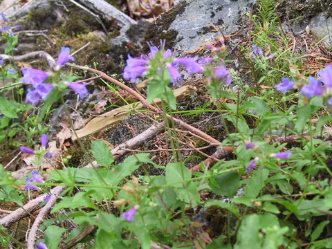
Did the hike Sunday July 17, 05. First 3 miles or so are under the tree canopy. Trail is in excellent condition, smooth underfoot , but narrow in places where the brush encroaches. Then you are out on the open mountainside in full sun(on the right day!). At this time of the season the wildflowers are a riot of color almost all the way for the next 2 miles or so- a truly incredible display. Trail is rocky so you have to pay attention, but very well maintained. The katwalk itself is broad enough to pass and is only about a 1/2 mile traverse - for lunch continue another mile to the ridge and drop down to Ridge lake on the right. Plenty of smooth rocks to sit on, a lovely small lake and a cool breeze off the water to keep you refreshed as you bask in the sun. If you return at that point the total hike is 13 miles and close to 3000ft elevation gain. Go early (we set out from the trailhead at 8 am) since it gets busy later- many of the hikers with dogs. One of the most enjoyable hikes in the past year . Did I mention the flowers?
Should not be Forgotten

★★★★☆
J D Rodgers · Mar 16, 2005 · Moderate +

I think the best parts of this journey is (1)the first part, through the valley to the creek crossing. From there its goes steeply into the woods for what seems to be like too long!, finally emerging to partial views of Glacier and most of the Monte Cristo area. From the ridge there is a junction (left) to Stillaguamish peak and huckleberries.To the right is the entertaing walk to Mt Forgotton which I think should be the main reason for all this work!Past ponds and most of the tired and huddled masses stopped for the day.(2) now the best and last part, the route from there goes down first then traverses eastward to the skyline of forgotten,from there turn right(West) and scamper up the final gully, real straight forward to the top, then enjoy the reward of amazing views!!!! Some of the best.
Log in or sign up to write a review.