
Directions: From Tacoma drive 40 miles south on Highway 7 to Elbe and go east 10 miles on Highway 706 towards the Mount Rainier National Park Nisqually Entrance Station. On the way about 5 minutes from the park entrance turn left on Forest Service Road 59. Follow this road 4.5 miles to the crest of the hill. There is a junction here take the gradual downhill slope for another couple miles until the road ends.
Trail Notes: There are a couple ways one can approach Gobblers Knob. The first is to drive into the park, take the West Side road to where it ends, hike or better still ride your mountain bike about five miles on the road and catch the trail to Gobblers Knob. The second way to get to Gobblers Knob is to take the forest service road right before entering the park and approach this way. We did the later. The road is nice, and passable by a normal car, no SUV required.
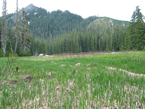
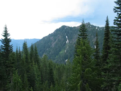
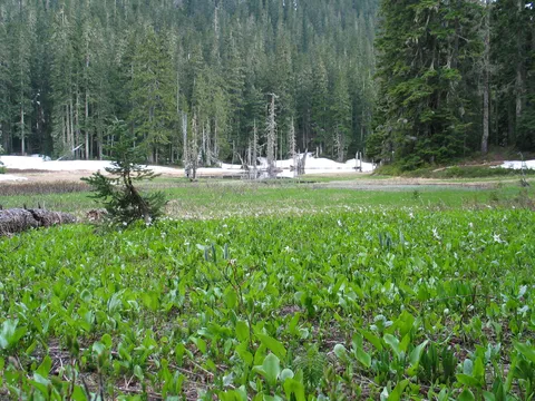
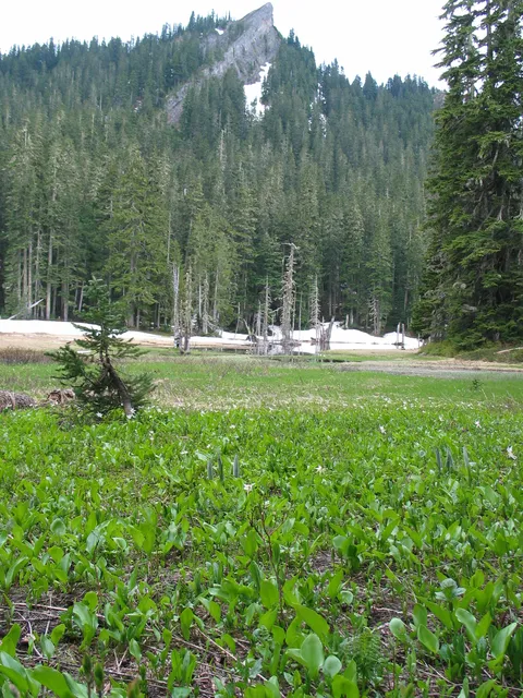
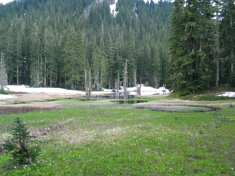
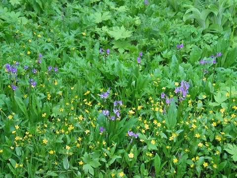
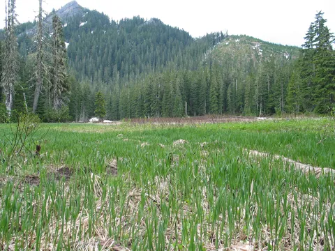
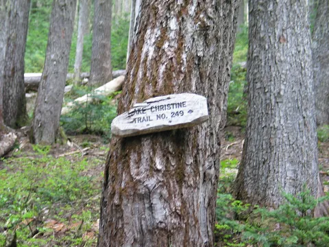
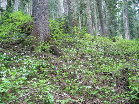
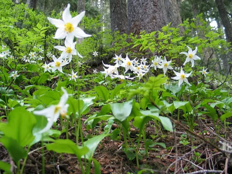
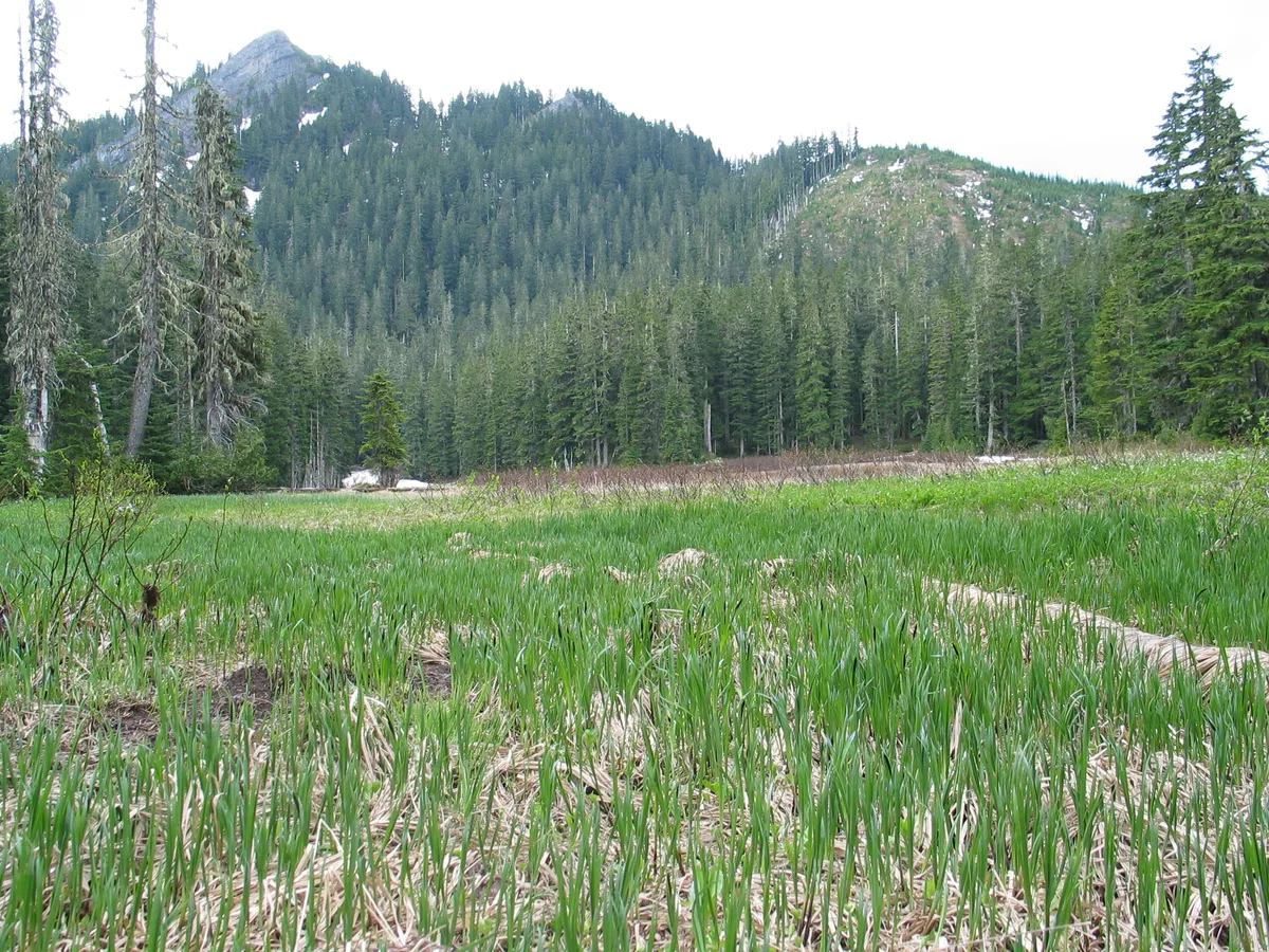
The trail itself is in pretty good shape starting out in already in fairly montain surroundings. The air was crisp which was quite surprising given the predicted highs for this day in the mid 80's in the lowlands. The tail begins fairly gently, en route to Beljica Meadows. Getting to Beljica Meadows only takes about 20 minutes or so and is a very nice 1/2 mile or so primer for the rest of the hike. From Beljica Meadows the trail continues gradually gaining a little elevation and splits into one trail headed towards Goat Lake and Gobblers Knob, and another headed to Lake Christine. Take the appropriate trail for your destination.
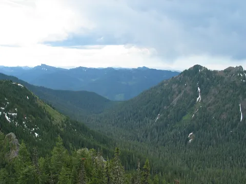
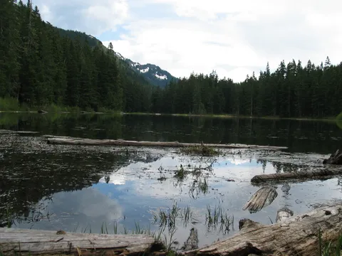
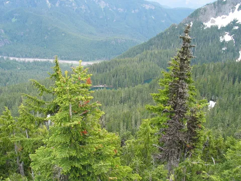
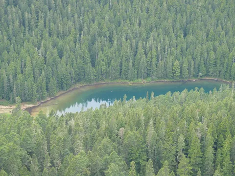
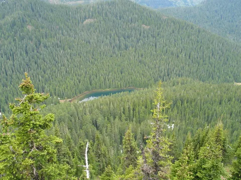
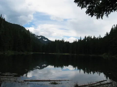
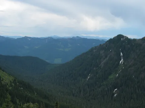
The trail then rounds the ridge, on a traverse while the valley floor drops away. Shortly thereafter the trail begins a decent down towards Goat Lake. Goat Lake appears to be a fairly pristine mountain lake, and apparently also supports brook trout, though from what I could tell they appear to be finicky eaters.
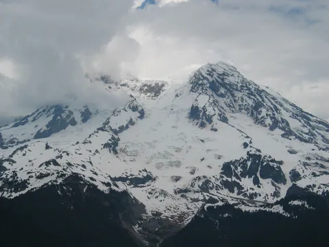
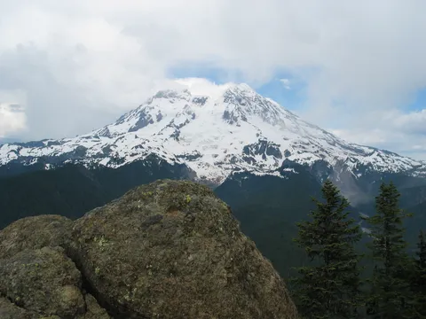
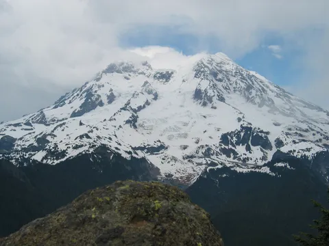
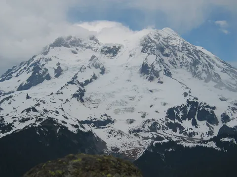
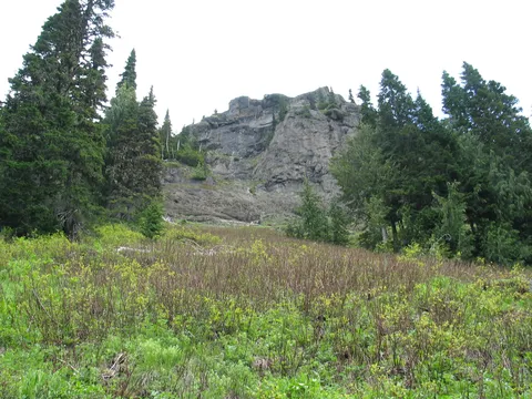
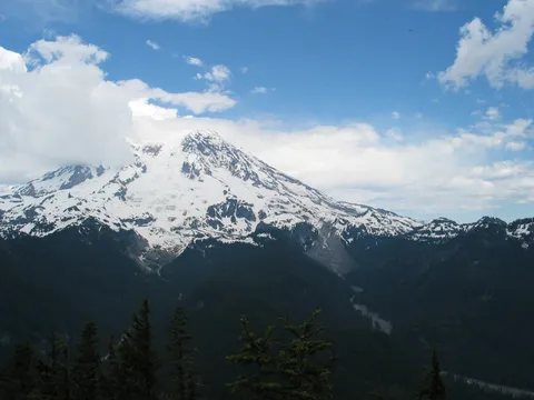
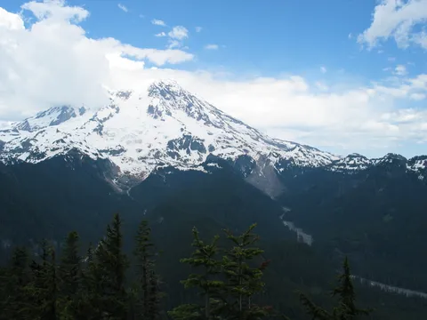
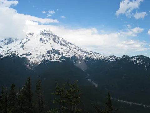
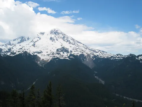
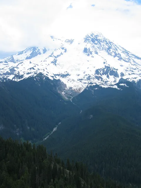
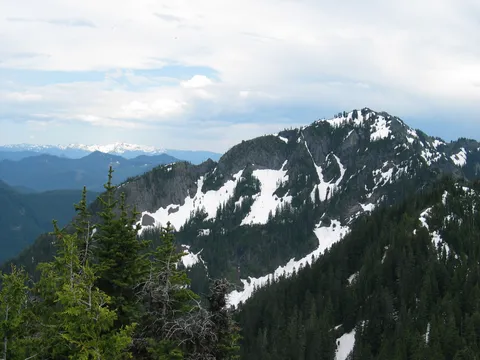
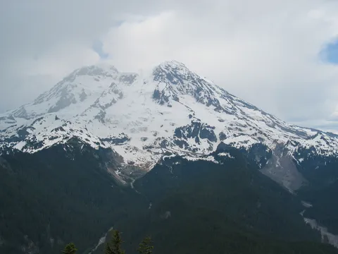
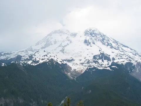
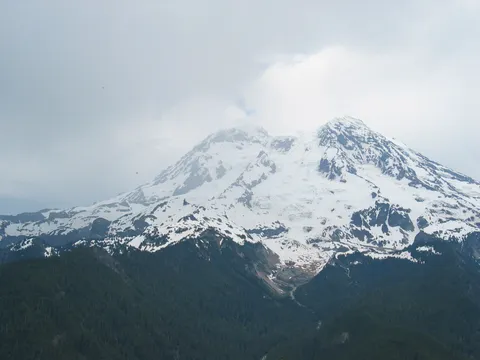
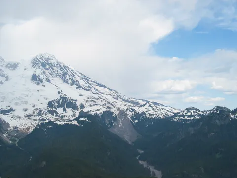
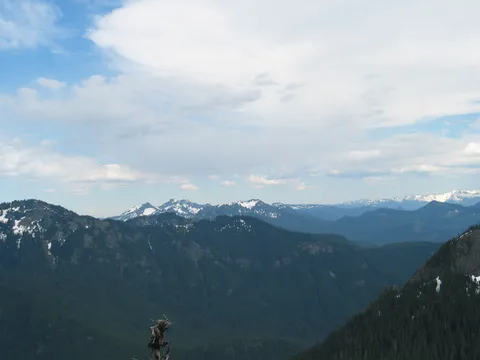
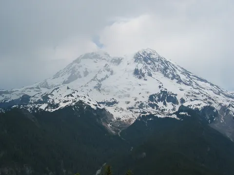
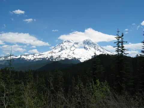
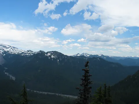
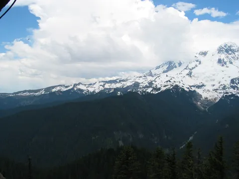
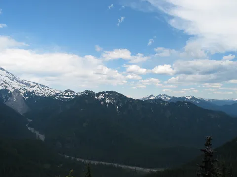
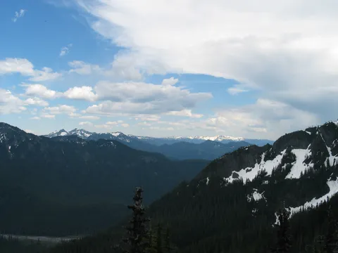
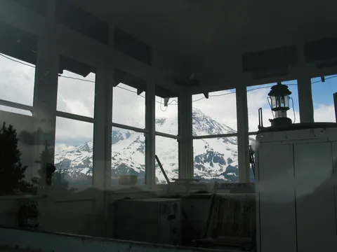
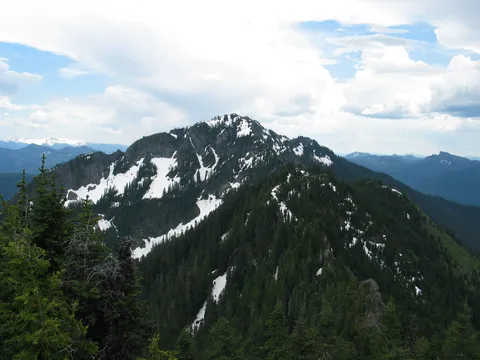
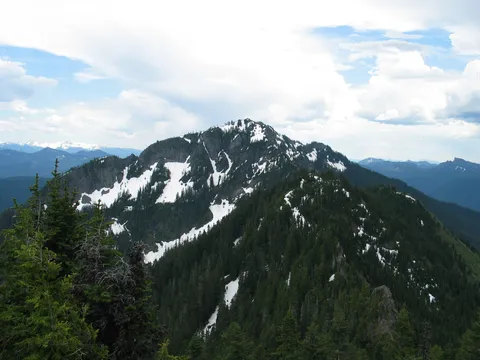
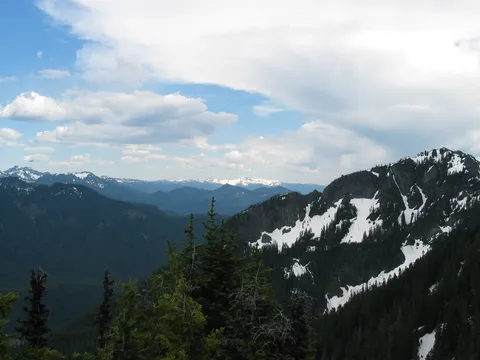
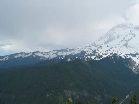
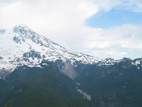
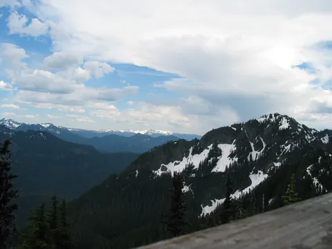
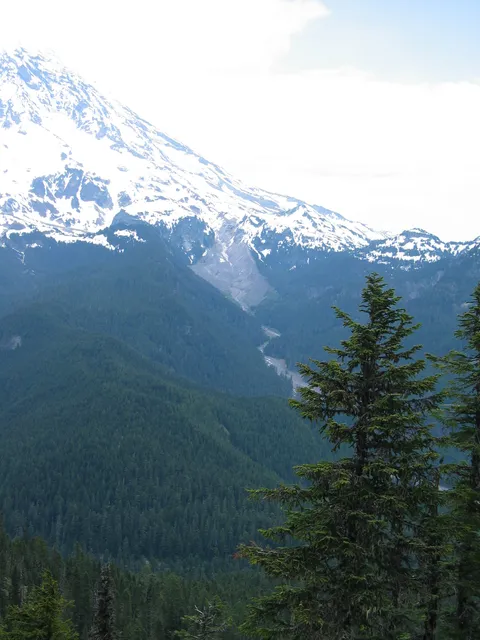
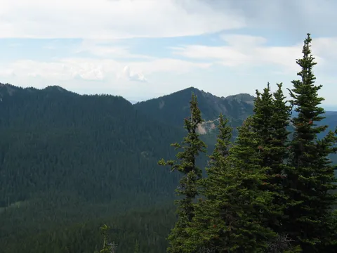
From Goat lake the trail takes on a steeper demeanor and starts up the slope in earnest towards Gobblers Knob. There is one big switch back, if there is such a thing and you reach the park boundary. For all you Geology Nuts there is a 1906 USGS marker there! The trail keeps on keeping on and eventually arrives at a ridge crest. Beyond this ridge crest the trail drops a little elevation and spurs off with the uphill trail headed towards Gobblers Knob. There still is a couple snow patches on the East facing slope which might have you moving right past the spur. Only should take five to ten minutes to reach the spur. From here the trail reaches its steepest though it still isn't bad and offers the first on trail views of Rainier.
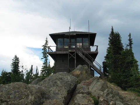
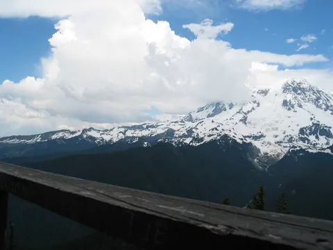
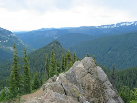
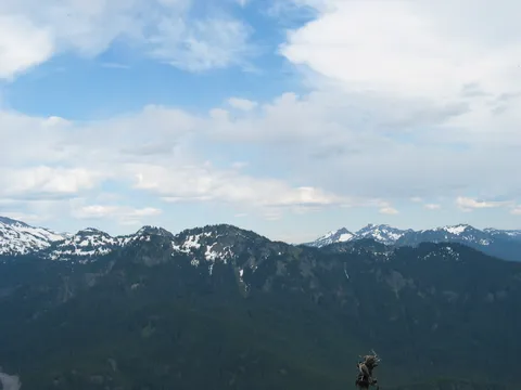
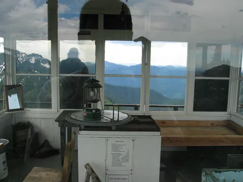
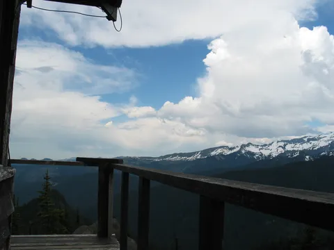
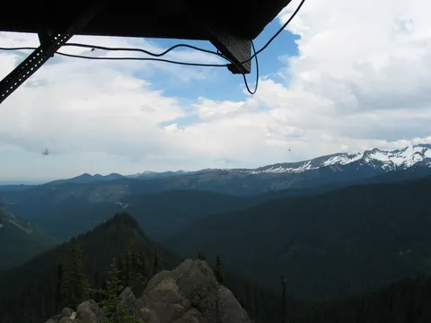
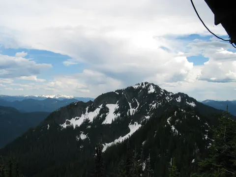
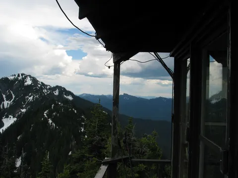
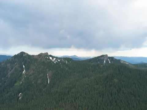
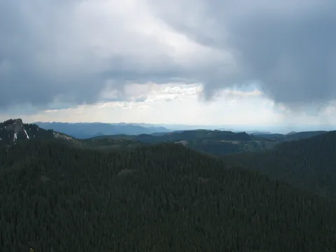
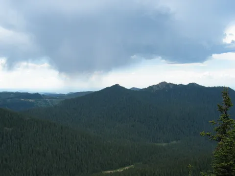
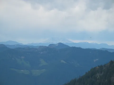
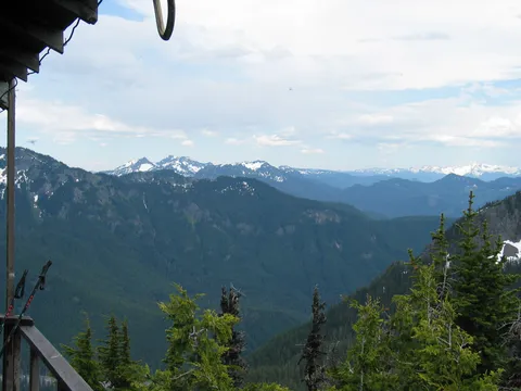
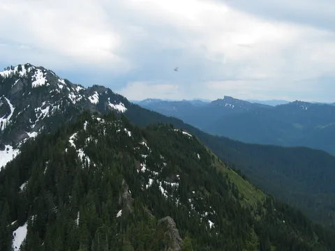
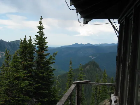
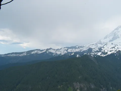
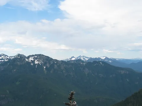
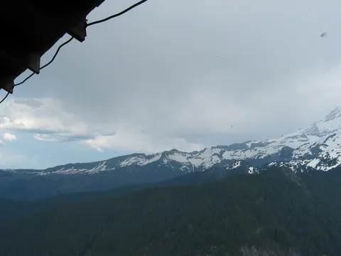
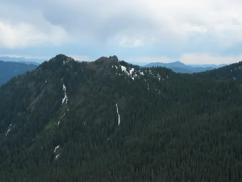
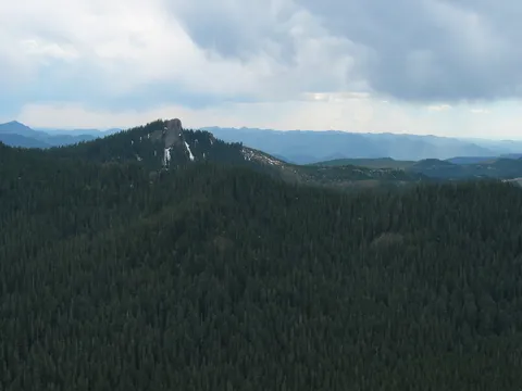
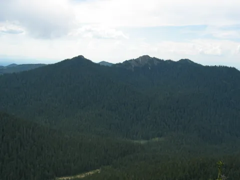
Shortly you will find yourself on top enjoying lunch or whatever on the fire lookout itself. If you are lucky you will be able to see Bachelor, and St. Helens. We did, but the weather wasn't very cooperative with us. In fact it thundered there pretty much continuously.
As fire lookouts go this one is pretty nice, though still I prefer the one on Tolmie peak. Oh and as a last word there are about a half dozen downed trees along the way, only one of which requires any real finagling. And yes you might actually get some solitude on this on. We enjoyed the lookout for about 1.5 hours seeing nary a soul. Lastly, this trail appears pretty flat, and compared to most it is, still the terrain does undulate quite a bit, so don't think it is a cake walk either. Enjoy.
Photos 77
Highest rated first