

Directions: From Tacoma drive 40 miles south on Highway 7 to Elbe and go east 10 miles on Highway 706 to the Mount Rainier National Park Nisqually Entrance Station. Proceed ~5 miles to Longmire. The trailhead is located across the river - cross either the new bridge or the log bridge across the Nisquallie river.
Trail Notes: The trail starts off nice and mellow gradually working its way up through pristine old growth. In the background you will hear the sound of the Nisquallie river fading as you gain elevation. Keeping you company along the way is xxx stream which appears to be a fairly reliable source of water should you need any.
As you gain elevation the forest becomes more and more quiet - typical of oldgrowth forests. The understory is sparsely populated with with salal and ferns. The trees, douglas fir are huge. As the trail climbes you become aware you are on a set of switchbacks though the grade is very kind. After about an hour to an hour and a half you will begin to notice that the undrestory is changing and there this alpine grass growing. The feeling I had was that I was about to the top, but alas this trail while kind up to this point, turns more difficult for the final stretch to the saddle. Right about now is a great time to look for blueberries, as of this writing they were ripe, sweet and well - tasty.
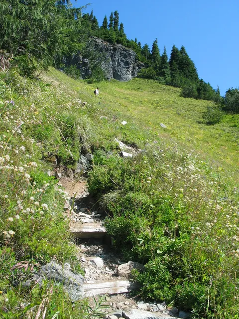
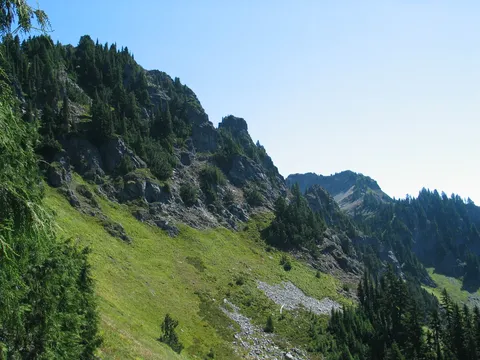
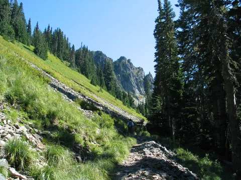
The trail from here, takes a much more direct approach to the top of the ridge. Worth note - when you come into the open for the first time really, there is a talus switchback. Here it appears one could instead take the side trail South from the corner of the switch back. We didn't notice this on the way up, but I think this trail may take one to the top of Chapas mountain. Might be a nice hike.
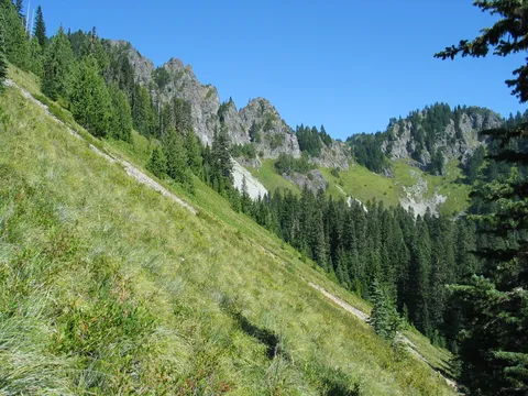
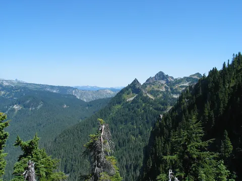
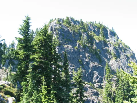
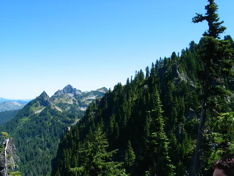
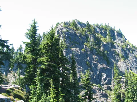
At any rate once the talus swithback is addressed the trail makes a final run at the saddle through a series of very steep switch backs. The section isn't very long, taking only about 10-15 minutes and ultimately delivering the hiker to the saddle where a sign declares the end to the maintained trail. My thought was to climb Eagle Peak, but after some investigation found that this idea, while noble, wasn't exactly feasible without protection. So we then took off sounth reasoning that we could climb Chilas Peak - I could see a trail near its summit in the distance. Alas we were again foiled by a nasty down section which I suppose could be downclimbed, but isn't the safest idea.
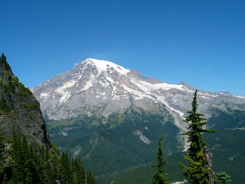
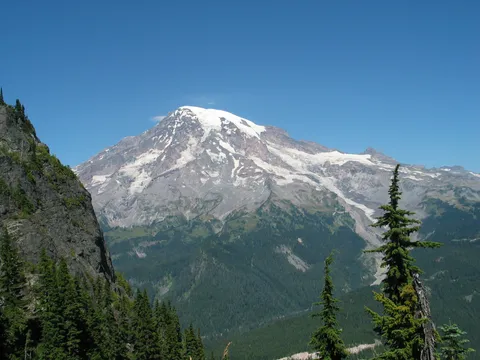
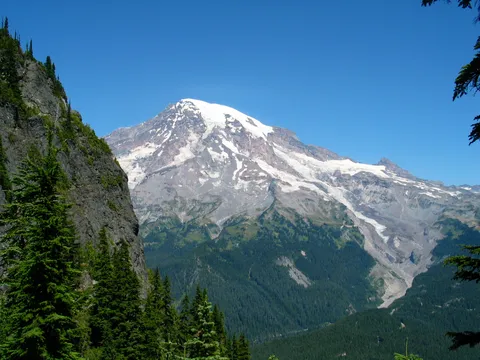
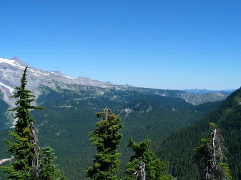
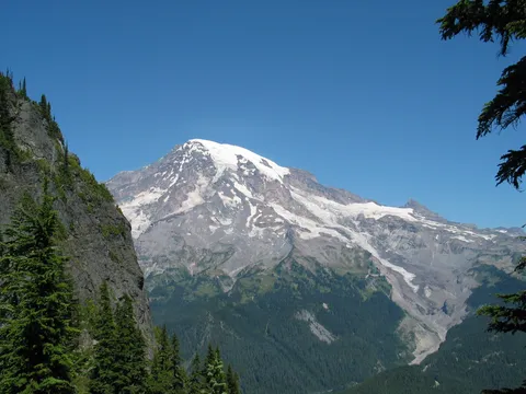
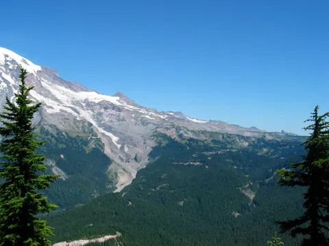
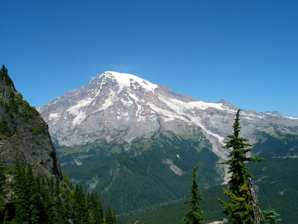
So we content ourselves to lounge at the top, and enjoy the view of Rainier, which is partailly obstructed by Eagle peak. That said however, the spot was very nice and very comfortable. The other perk about this hike was that there were very few people, we only saw one person on the way up, one later joined us at the top and another group on the way down. To my way of thinking that makes this hike noteworthy, in that on a buzy summer Sunday we had the place to ourselves.
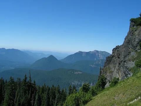
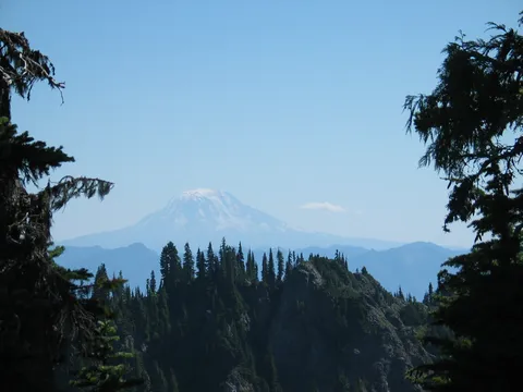
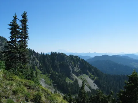
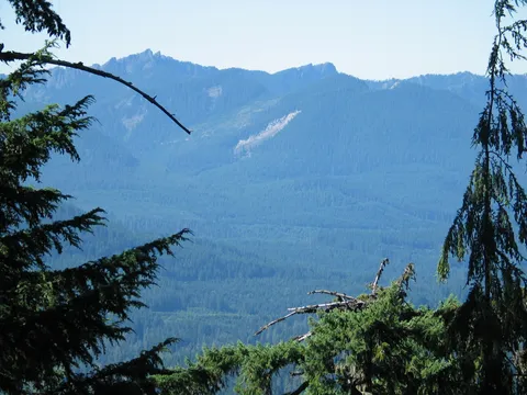
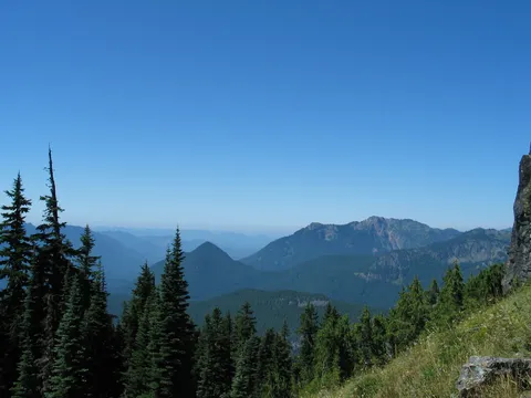
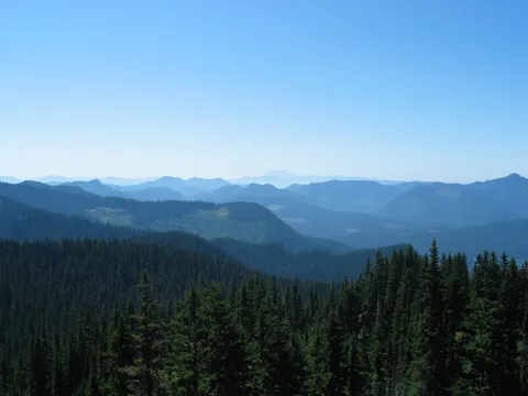
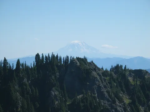
From the top there are views of Mt. Adams and Mt. St. Helens in the distance. On balance the trip was better than I had expected, though I am still a little disappointed that we couldn't find our way to one of the peaks.
Photos 21
Highest rated first