

Directions: From Port Angeles take US 101 west five miles to Highway 112. Follow Highway 112 west to Neah Bay. Go through town taking the last left and proceed to Hobuck road and drive down it about 1/4 mile past the speed bumps. Look for a home to park your car. Doing so is a good idea if you are staying over night since it will reduce the chance of vehicle prowls. Once you have your car parked and your pack loaded head out down the road for about 1/4 miles to the new trail head.
Trail Notes: Getting here from Seattle takes a while. Alex and I left at about 6:15 hit the Edmonds ferry at 7:15 and would up in Port Angles around 10ish. You should plan to stop here to get a bear can which is required (at least a hard sided container). Following this opt for food here or continue on to Neah Bay where you will need to purchase a Makah Indian pass for use of their land en route to the Beach.
It wasn't so long ago that this route wasn't known to many and has served as the end to a hike I did from La Push some time ago (excellect idea by the way). Now this trail seems to be known to just about everyone. We opted to park at the nearest mobile home with a big yard. Parking was 10$ a day I think and there were ~100 cars in the yard. I was shocked.
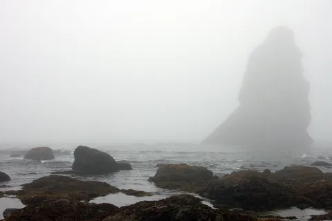
I knew is was labor day and expected some people but this was a lot. Also, the weather predicted that the wind would be offshore, which is a near requirement when visiting this area. Well the wind had changed to onshore, and everything was socked in. Alex and I were convinced it would disapate with the sun. So we set off around 11 and made it to the new trailhead which to my way of thinking is inferior to the road which formerly was used. That said the trail wasn't bad but there were some serious peeps here. We continued along seeing more people on their return. The trail itself is pretty benign and undulates quite a bit. In places there are bridges which really don't seem to exist. Still I guess what the heck.
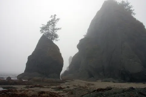
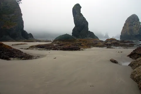
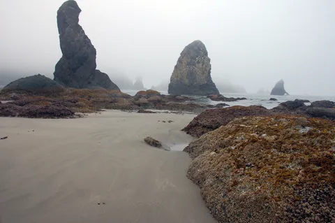
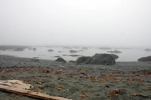
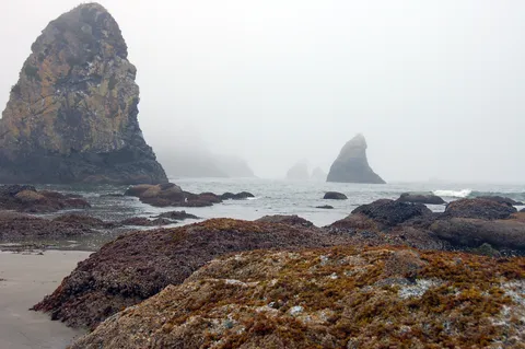
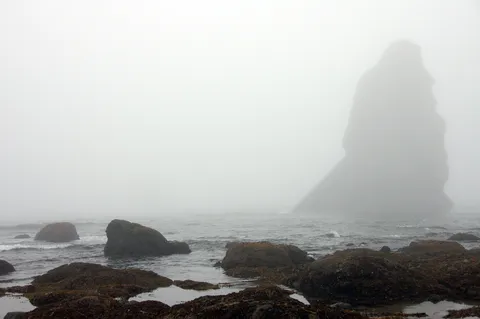
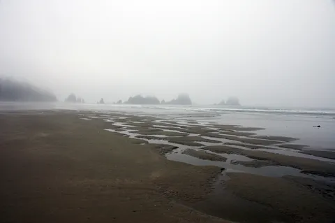
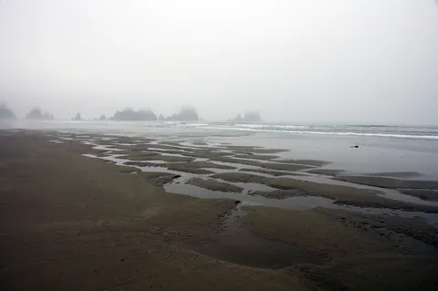
After about 1.5 hours of cruising along you will come to the Olympic Park boundary and the trail down to the beach. The trail is steep but not too long. The weather was still cloudy and one could only see a couple hundred feet at best. So we continued down to the beach and saw a bunch more people.
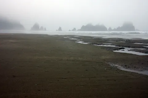
Since our plan was to round Point of Arches during the next mornings low tide and then return we continued along Shi Shi Beach in that direction. I noticed that while visibility was limited tents were at about 300ft intervals as we worked down the beach. We found an abandoned structure right at petrolium creek and this is where we set up our tent.
Content with our camp location we headed down towards Point of Arches. More people. So after walking around we headed back to our camp and endeavored to start a fire in camp. This was successful and we ate and chillibrated a bit. One of the nicest thing about this hike this time was that as the dusk fell a deer and her offspring came within a couple feet of us. The little deer was very curious. After a while and some salt from the surrounding vegetation they headed off down the beach.
So we went to bed with the insight that high tide was at 4am with low at noon. Our thought get up around 8 and head down the beach with the idea that we could go a couple hours past the point before needing to return to catch the tide on the way back.
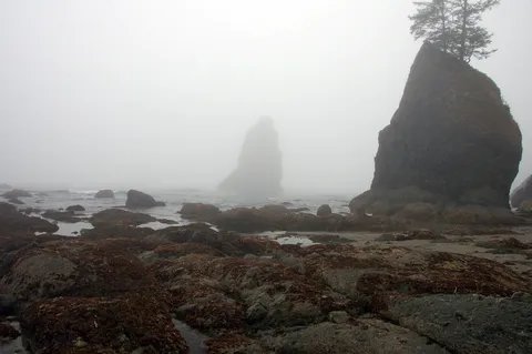
So we woke up and headed down the Shi Shi beach - still cloudy. So we went out on the point for about a half hour and decided to press on. So as we returned up the point we noticed that we were cut off. But how could this be? I was thinking maybe it was a surge or something and just needed to wait a couple minutes - which we did. The water got deeper... What is going on?
We waded across the water and checked our tide table - 4am high and 12 low. hmmm..
So I am conviced something is whacked out... and we decide to go back towards camp given the weather was kinda shabby and the tide seems to be running counter to our tide table.
It turns out later that the NOAA site which plots the tide tables is in GMT, which is 8 hours off our time. Why in god they decide to give tide tables in timezones not specific to the location is baffling. Suffice it to say - make sure of the timezone of NOAA tide tables.
To add the final coup de grace to the trip upon making our way back to the car as we returned to Neah Bay the sun began to shine...apparently the only place which was overcast/fogged in on this day was on the Coast...
So we returned to Port Angles and returned our bear can - had lunch and headed up to hurricane ridge. From here we returned to Seattle on the ferry into downtown. Another plus to the trip. This hike is really awesome if you catch it at the right time...and the right time is when there is off shore flow .
Photos 21
Highest rated first