

Directions: From Leavenworth, Follow direction to Bridge Creek Campground. At Bridge Creek turn south onto Forest Service Road 7601 and follow for approximately 2.5 miles to the Eight mile trailhead.
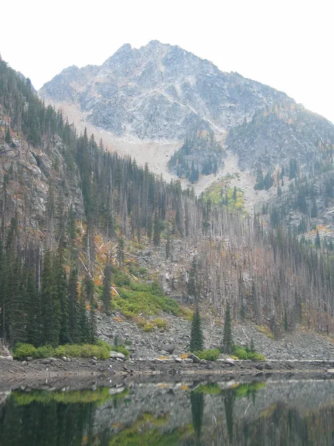
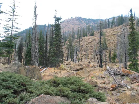
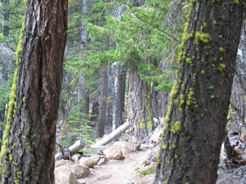
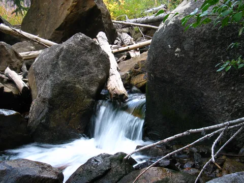
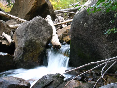
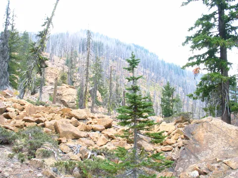
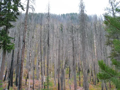
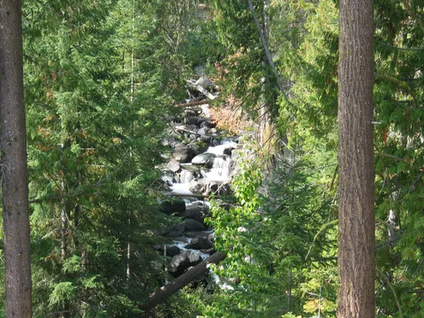
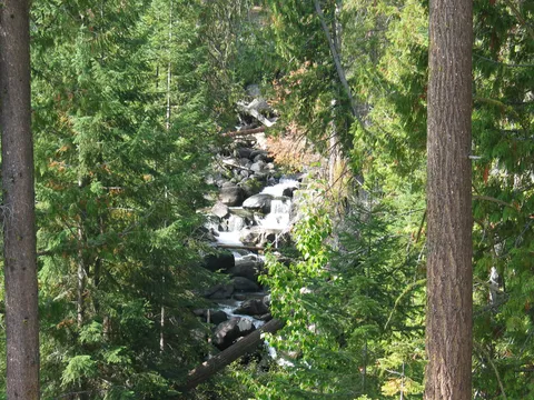
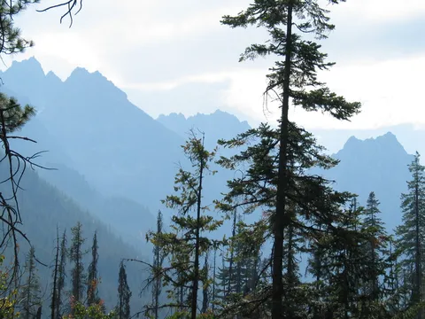
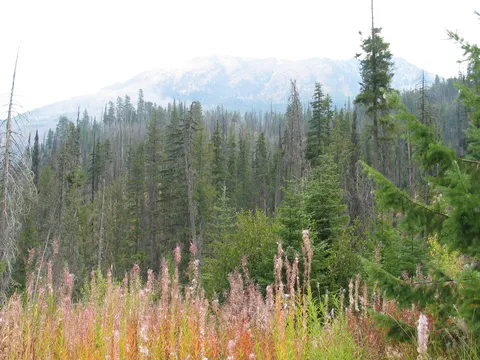
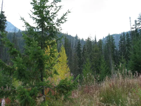
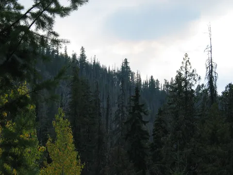
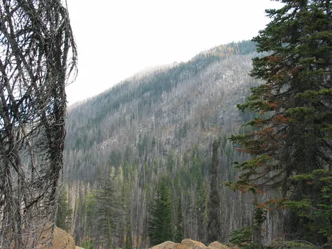
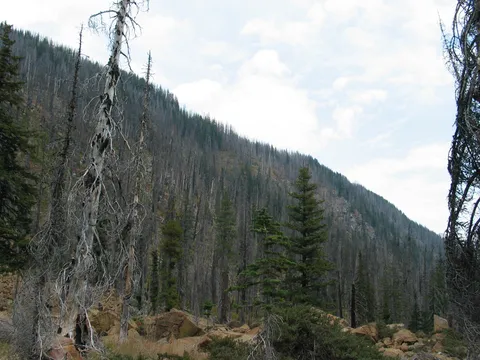
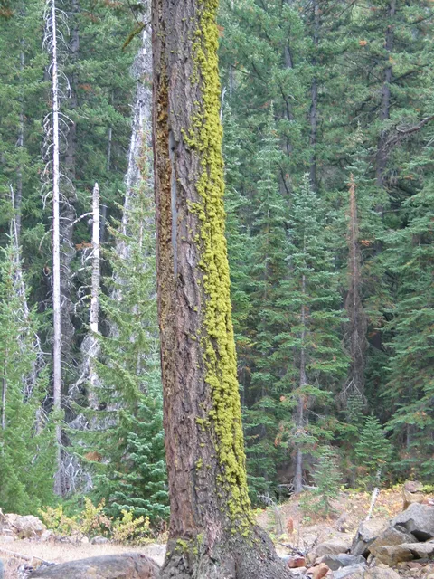
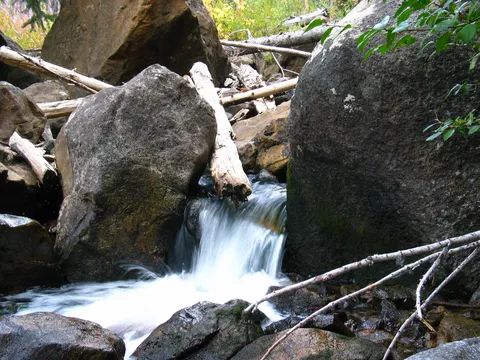
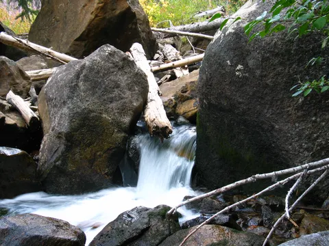
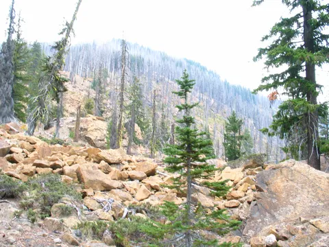
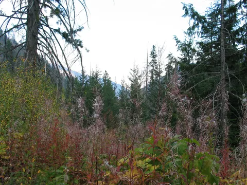
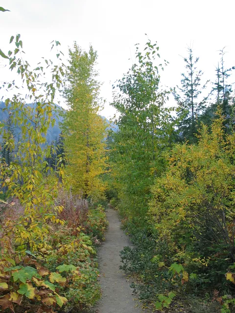
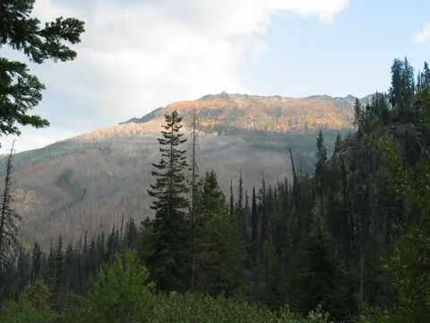
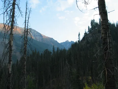
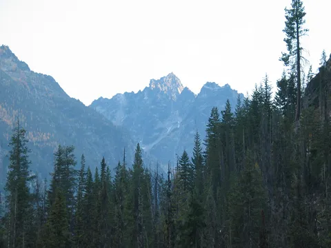
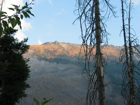
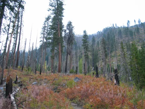
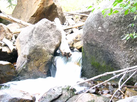
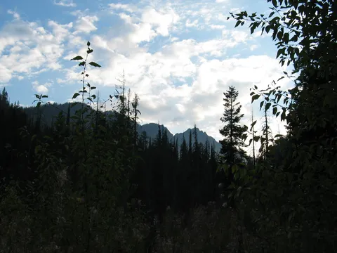
Trail Notes: The 8 mile lake trail is quite mild. From the trailhead the trail gently ascends a ridge burned up in one of the many forest fires typical in this area. After gradual climbing for about 10-15 minutes the trail takes off on undulating terrain up the valley crossing a few small streams along the way. This is to be the personality of this hike for about an hour and a half. Not much changes in the landscape for the bulk of that time. At about the hour mark you enter a wooded area which was able to avoid the damage caused by the forest fire. It appears this is due to the rather large size of the trees here.
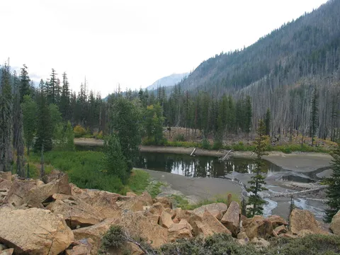
Beyond this treed area the trail continues along for another 30 minutes or so before climbing a little bit before arriving at Little 8 Mile Lake which lives up to it's name. There is what appears to be a very old tree here.
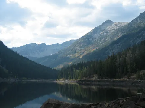
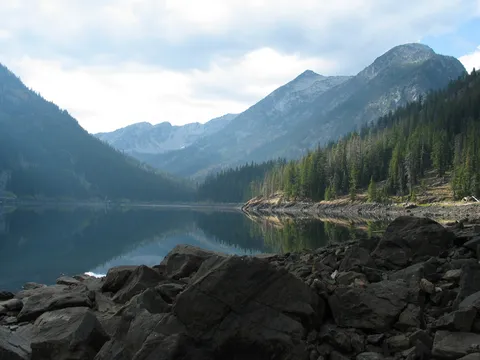
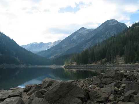
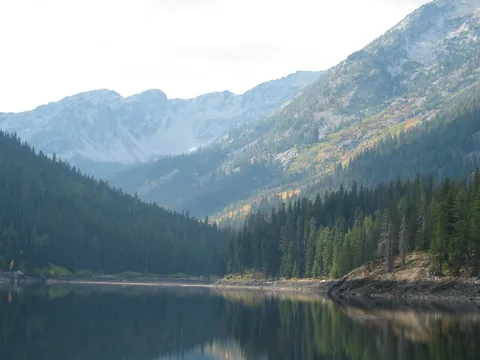
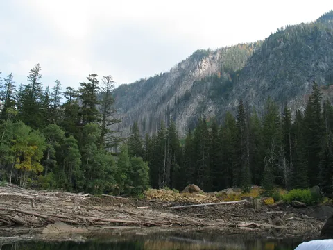
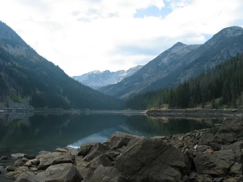
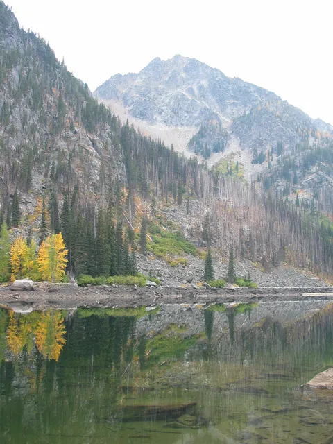
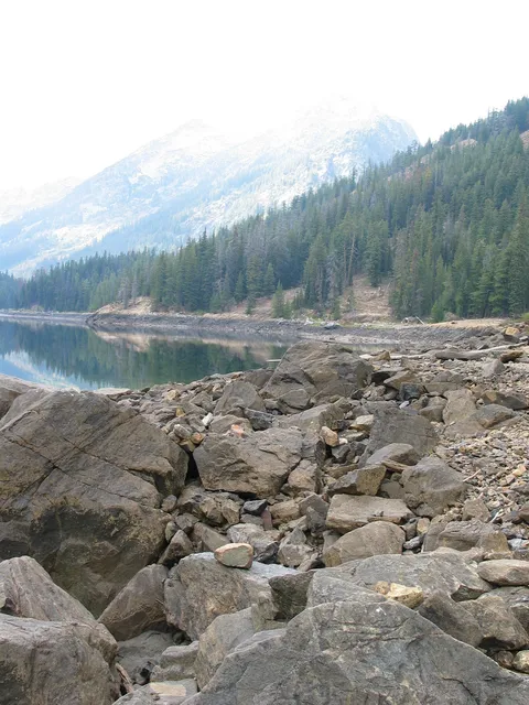
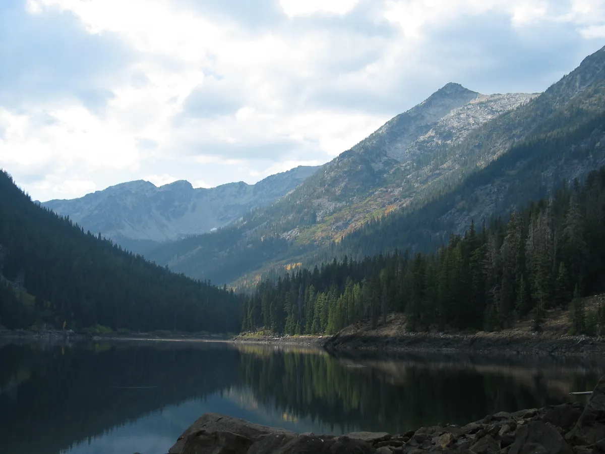
Continuing on past Little 8 Mile Lake is really a requirement since the real 8 Mile Lake is definitely a much better destination. There remains about another 20-30 minutes to travel to Eight Mile Lake. You will know you are just about there when you get to what appears to be a large mound in the valley. The trail goes along the South Eastern side of this and works its way to the top. Once here you are to 8 Mile Lake which is a fairly picturesque lake.
Overall this hike is more difficult than a topo map would lead one to believe as the terrain does just about continuously undulate. It was quite nice weather went we did this hike, but if this was done in the summer months expect hot temperatures and lots of sun. One other note, this valley is reported to have wonderful flowers in spring and is best captured returning from the lake around dusk. There is a good chance of getting some solitude on this one!
Photos 51
Highest rated first