

Boulder River

3.9 out of 5, (8) Mt. Baker National Forest-Snoqualmie, WA Easy 3 trip reports · 41 photos
Round trip
8 mi
Elevation gain
600 ft
High point
1,550 ft
Difficulty
Easy
Pass
None
Dogs
Allowed usually
Trip report

May 19, 2007

Easy 5 hours Verdict: Marginal
★★★★★ 5.0 out of 5 from 1 vote · log in to vote

Directions: Directions: From Seattle drive 42 miles north on Interstate 5 to Exit208/Silvana/Arlington. Drive 19.5 miles east on Highway 530 to French Creek Road/Forest Service Road 2010.Turn right (south) and drive 3.8 miles to the trailhead at the end of the road.

Trail Notes: So the weather wasn't predicted to be too nice today so we opted for good ol Boulder River.  I had previously given this hike a pretty marginal rating.  Thinking that I had some how missed something led me to the notion that I should check it out one more time.  Net, net - nothing new.

So the Boulder river hike turn off has changed since I was last there.  My memory was the turn off onto French Loop road was hidden by the trees on the side of the road.  To my amazement there is now a housing development right at the turn off.  So now I guess if you see a big housing development on your left nearing the turn off you will know you are right there.

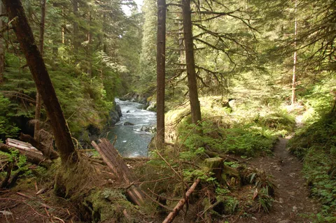
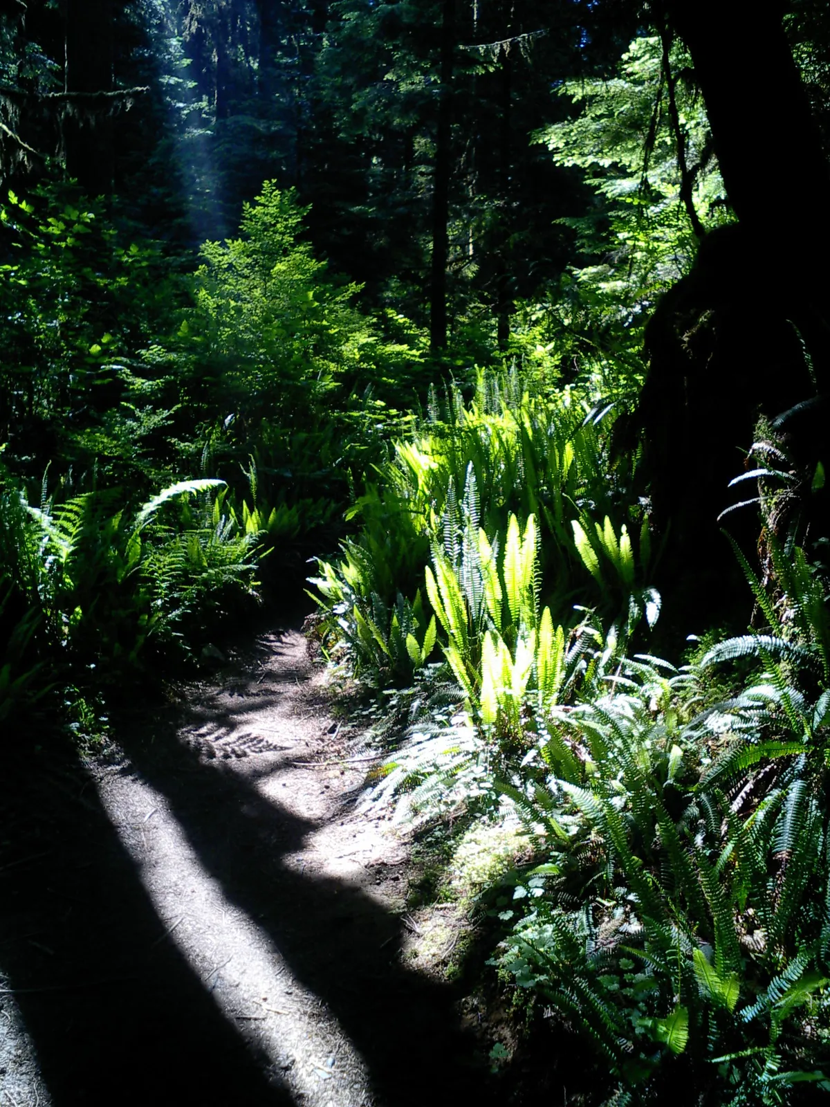
So the trail wasn't much changed since my last review.  The first part of the trail ~20 minutes is actually the remnants of a former logging road.  It looks like the road came to an end, as the sidewalls fo the canyon became too steep to practically continue the road.  At the time, the timber (old growth) must not have merited continuing the road.  Good thing for us.

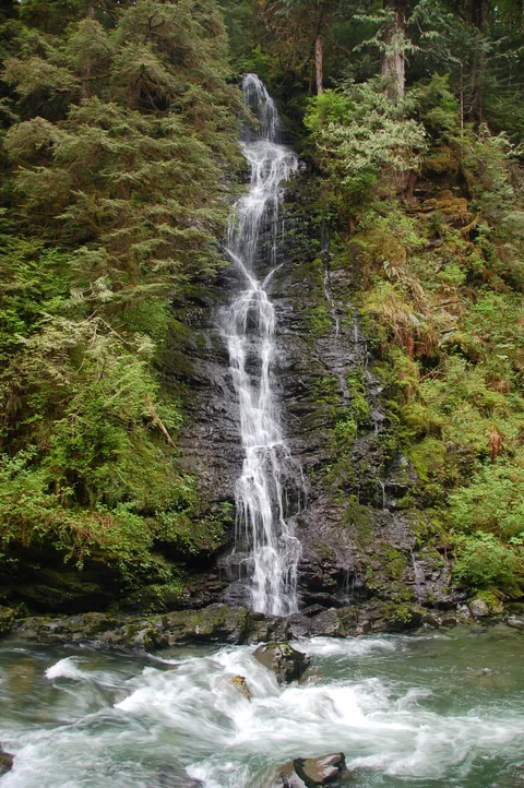
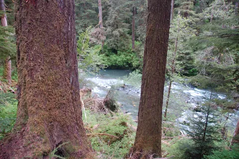
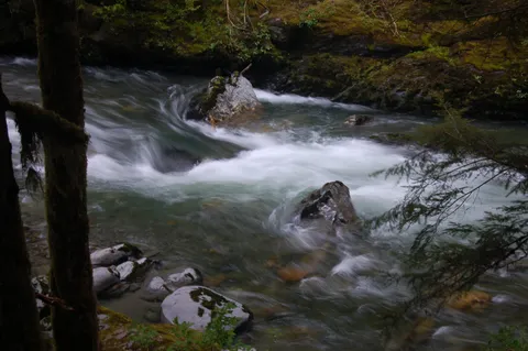
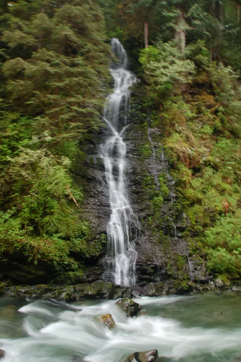
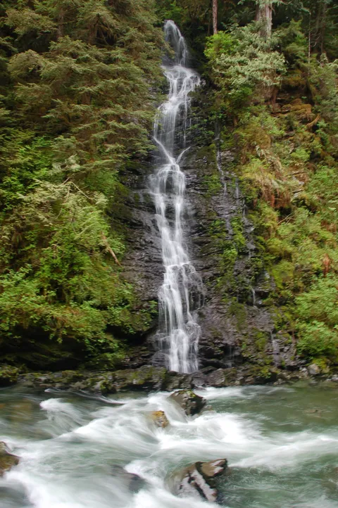
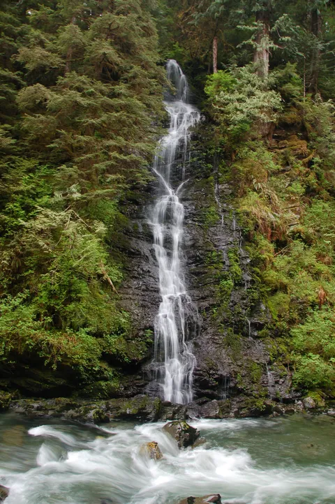
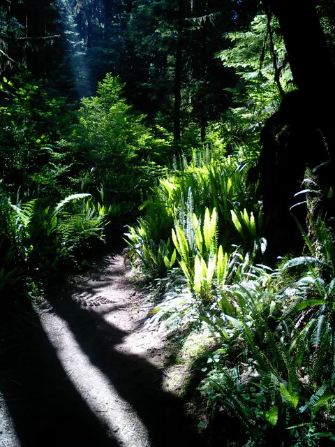
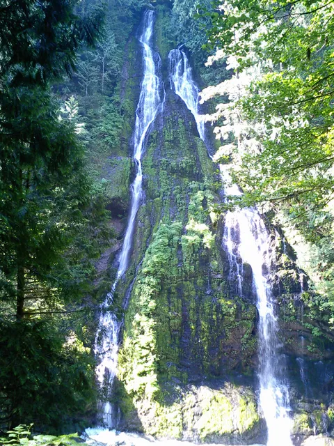
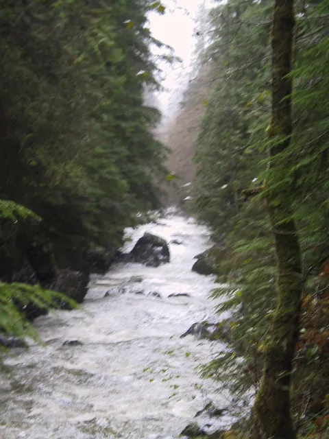
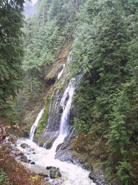
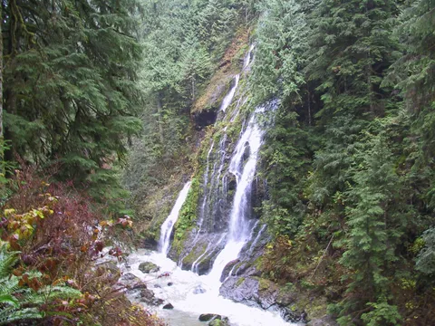
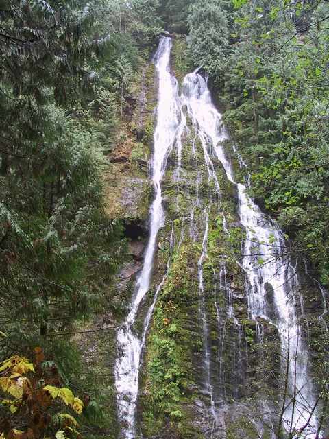
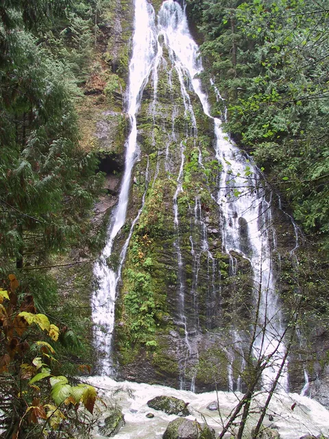
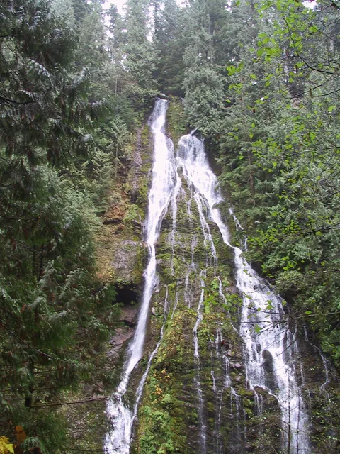
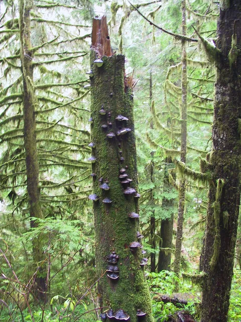
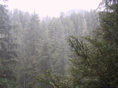
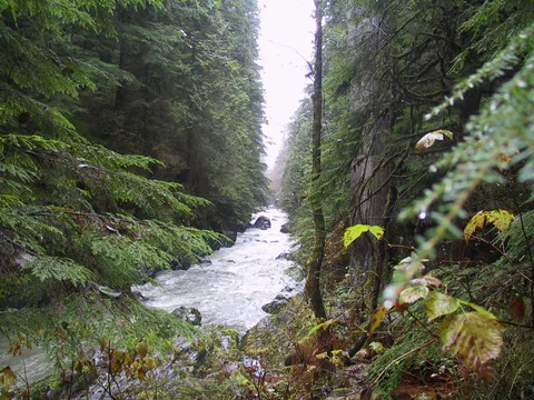
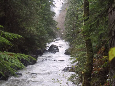
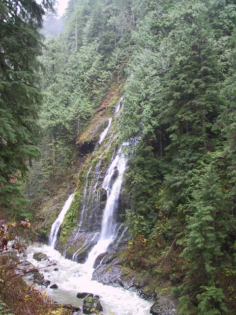
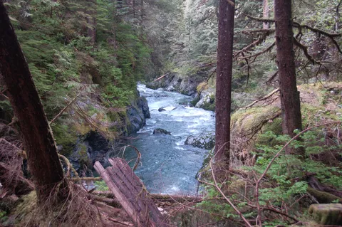
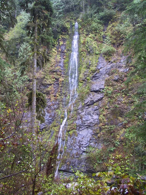
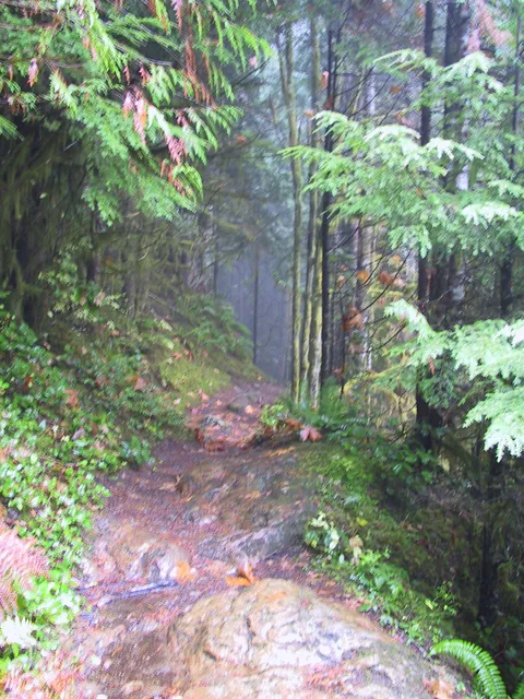
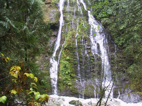
One of the most notable parts of this hike are the old growth trees of which there are quite a few.  Also their are several waterfalls across Boulder river from the trail.  For most the hike the trail runs several hundred feet above the river.  However, there are several instances where you can see some waterfalls across the trail.  After about an hour or so you have passed the major waterfalls and the trail from here on in is kinda like the hoh trail.  Lots of the same thing, but nothing too outstanding or memorable.  As you continue along there is increaseing blow down on the trail, and there was a trail crew activly working onn removing the blowdown.

So I guess for what it is, Boulder river is pretty good - a fall back hike when the valley weather says "get out there" the the snow pack in the hills says 'not quite yet'.

Photos 10

Highest rated first
Trip report

June 26, 2006

Easy 3 hours Verdict: Great
★★★★★ 3.5 out of 5 from 2 votes · log in to vote

Directions: I-5 to exit 208. Right onto Hwy 530 about 20 miles. Right onto French Creek Road (FSR 2010). 4 miles to the trail head.

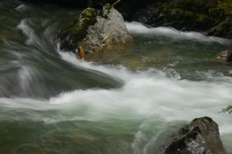
Trail Notes: Monday, June 26th, started the trail at 9am. This is probably my favorite running trail in the pnw. The views of the river and its tributaries in the form of a multitude of falls are absolutely gorgeous. Combine this with the old-growth forest along the latter half of the hike and you have a great date spot, slow day hike, or great running trail.

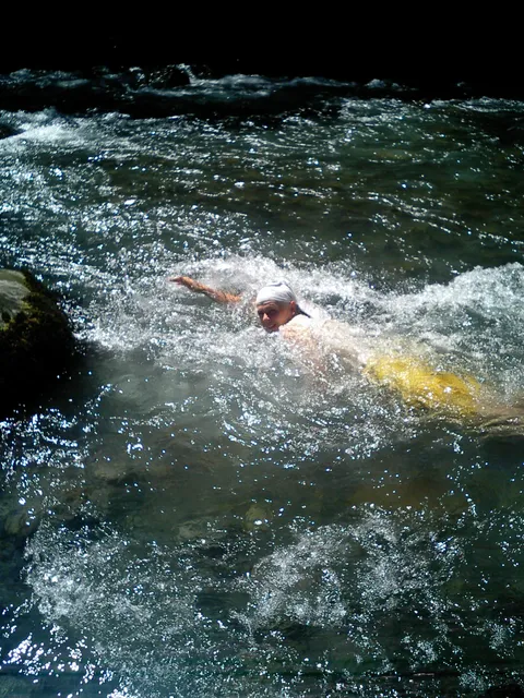
The 3 or 4 times that the trail comes in close proximity with the river gives ample opportunities for a swim, which is very refreshing if you are running the trail. A few muddy spots with plants growing over the trail in many places. If you don't like spiders or their webs, bring a buddy and let them go first:).

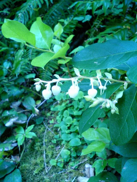
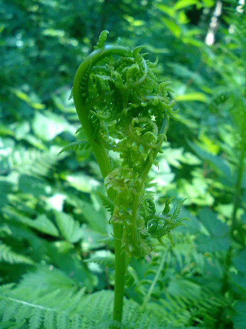
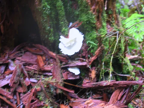
On a culinary note, the fern buds are in season, but probably only for another week or so. I brought home a bagful. Wild blueberries, along with the ever-hated salmonberry, and a small, astringent white flower are also quite a treat as you proceed. I have included pictures of the fern buds and astringent flowers with this hike.

Photos 7

Highest rated first
Trip report

November 9, 2002

Easy 4 hours Verdict: Marginal
★★★★★ 3.8 out of 5 from 5 votes · log in to vote

Directions: Directions: From Seattle drive 42 miles north on Interstate 5 to Exit208/Silvana/Arlington. Drive 19.5 miles east on Highway 530 to French Creek Road/Forest Service Road 2010.Turn right (south) and drive 3.8 miles to the trailhead at the end of the road.

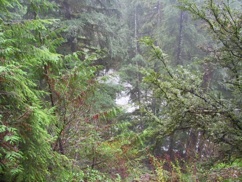
Trail notes: It was raining today, but we decided we still needed to get out and do a hike. I had heard Boulder River is the cat’s meow for an enjoyable off season hike so Boulder River it was. Boulder Canyon itself appears to have initially been logged back in maybe the 1930's or thereabouts but as the canyon narrowed the effort to get the timber out of the upper canyon was deemed more of a hassle than it was worth. The result, the hike is for the most part through Old Growth Forests.

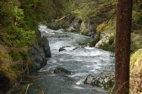
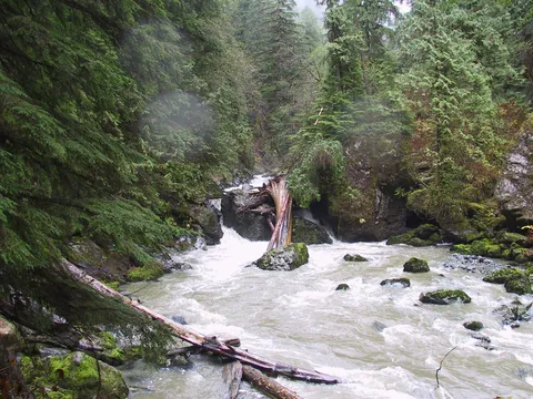
The other upshot of this hike is most the time the trail is within eyeshot of Boulder River itself. Along the way there are more than a few waterfalls which can keep one occupied. The trail itself is mildly undulating and not much of an effort to hike to its terminus. That said, there aren't any expansive views, but there are some harrowing log crossing which in the rain are down right nasty. Keep this in mind, there is no banister etc. and it would be a nasty fall. Overall, if you are looking for a shoulder season hike, Boulder River does meet the bill, but think of the alternatives - getting up above the rain and roaming around there. Maybe not your game, but think about it snowshoeing is a blast. Either way you will have fun...

Photos 24

Highest rated first
Reviews 10

Excellent Spring Hike

★★★★☆
Anonymous · May 23, 2011 · Easy

The forcast called for the first day to reach 70 in many many months, we decided it was a day for a hike.  The falls had lots of water flowing over them.  The trail had seen lots of blowndowns, but the WTA was up there working hard and the trail was in great shape.  One of the trees that had blown down, the WTA had to cut a swath out of it for the trail.  They had pinned the tree, it was 675 years old.  This was a great hike, lots of new growth, flowers, waterfalls and lots of large trees.  We enjoyed the great picnic at the end of the trail next to the river (very load, with the amount of water flowing through) - just a great day and very enjoyable hike.  Will hike it again.

Awesome w/Dogs

★★★★★
NewtoHiking · Feb 26, 2010 · Easy

We did this hike in early January with our 2 dogs. Although it was POURING the entire time we were there, it was still an great hike. Our dogs loved it and the trail wasn't hard at all. We didn't make it out there until about noon so wasn't able to complete the entire thing, but would love to go back and complete it. Since it is a little bit of a drive, I would reccomend leaving early and getting out there as soon as you can. We got a little confused as to where the road was, so keep an eye out, it is smack in the middle of some houses. Overall a great hike and there was NO ONE there. We looked back at the log and noticed that it doesn't seem to get hiked very often, weren't very many entries from the past months. They even have camping spots which was pretty cool.

Great Hike w/ Dogs

★★★★☆
Brian · Jan 4, 2010 · Moderate

My wife and I made the journey up to Boulder River from Seattle on a Sunday afternoon in early January. I would first like to point out that French Creek Rd is more than 20 miles from the interstate... we were baffled at first after going 19.5 miles. Second, we recommend starting out earlier than we did. We didn't get to the parking lot until 2:30pm and thus didn't hike the last mile of the trail b/c it got dark REALLY fast. The beautiful trees made the sunlight disappear faster, not to mention it was on the side of a steep incline, so the sun was scarce after 4pm even though sunset wasn't scheduled until ~5pm. The hike was great. I would have ranked it a "two hiker" for difficulty, but there are little streams you have to hop over every once in a while and sometimes the rocks get pretty uneven, which forces you to concentrate on your footing. The falls are breath taking and provide a nice soundtrack for much of the hike. Being recent east-coast transplants, we were also impressed with how green the hike was even in early January. Even though it is a bit of a drive, we plan on doing this hike again. http://connect.garmin.com/activity/21648992
Excellent early season hike; Awesome waterfalls

★★★★☆
zzzlyle · May 20, 2007 · Easy +

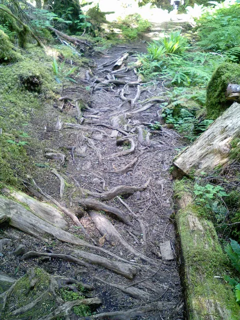
Did the hike on 5/29/07 with John.  About 8 cars on the trailhead at 11:00am.  3 waterfalls and some old growth past the previous lumber road end at about .7 mile., and trail follws river entire way at various levels avove it from 20 ft to 750 ft.  Some people camping near the river, about one mile in.  First waterfalls at about 2 miles in; pretty easy 'til past them.  Second major waterrfall at about 3.5 miles.  Trail somewhat muddy, but very passible.  Lots of downed trees in the valley past second waterfall, bit trail mostly clear.  WTA work crew sawing some of the cross-trail trees before second waterfall today.  A little vertical between the waterfalls.  Trail mostly good, but lots of exposed roots, and a couple of narrow spots (with WTA ribbons indicated work to be done soon).

Boulder River

★★★★★
spectrejazz · Jun 27, 2006 · Easy

Monday, June 26th, started the trail at 9am. This is probably my favorite running trail in the pnw. The views of the river and its tributaries in the form of a multitude of falls are absolutely gorgeous. The 3 or 4 times that the trail comes in close proximity with the river gives ample opportunities for a swim, which is very refreshing if you are running the trail. A few muddy spots with plants growing over the trail in many places. If you don't like spiders or their webs, bring a buddy and let them go first:). On a culinary note, the fern buds are in season, but probably only for another week or so. I brought home a bagful. Enjoy the hike.

Boulder River

★★☆☆☆
carol · Jun 2, 2006 · Easy

this trail is very.... very muddy.  not a soul there when we arrived on a friday morning.  the river is running fast and the first big waterfall was pretty cool.  the trailhead is about 1 hour and 20 minutes from my lake forest park home.
★★★★☆
Anonymous · May 28, 2006 · Easy +

This was the first hike for us for the season.  It was early May so we were looking for a hike that did not involve a high elevational climb so we could stay out of the snow and not kill ourselves after not hiking all winter.  We had a great time!  The crossings over some of the areas were a little heroing, especially being attached to two dogs on leashes but they did fine and so did we.  The canopy kept us dry for most of the hike except for areas that were very muddy and the dogs enjoyed the ending with time to swim in the river before heading back down the trail.  The river was pretty and running well this time of year and the waterfalls were awesome to stop and observe.  There were some hikers without their dogs on leash which made it difficult to navigate our dogs along narrow passages so please be considerate and follow the posted rules with dogs maintained on leashes at all times.  It make the hikes more enjoyable for everyone.
Excellent Winter Hike in Old Growth Forest

★★★★☆
Anonymous · Apr 13, 2006 · Easy +

Unlike many winter hikes in city park settings, Boulder River is a bona fide trail in the wilderness that you can hike when other trails are snowbound.  It was 36 degrees and raining at the trailhead when I hiked this trail on 1/29/06.  It was very quiet and peaceful, and although there were few "vistas,"  the forest and waterfalls were simply beautiful.   At one point the woods opened to a breathtaking view of snow-capped hills, and of course, the river was never far from the trail.  The road to the trailhead was rough, and so was the trail (winter happens, even in the forest).  Several downed trees to climb over/crawl under.   Exercise caution and wear sturdy boots and carry the 10 essentials on this trail in winter conditions--the rocks and roots are very muddy and slippery.

Boulder River

★★★★☆
Dan Storm · Apr 25, 2005 · Moderate

This is a very beautiful hike full of lovely springs, falls, and the ever-present river. Thoe only negative thing (if indeed it is negative) is that it is an enclosed hike without vistas. I have given it a difficulty rating of 3 instead of 2 for two reasns: first, it's steep in parts, so people not in shape at all will be a little taxed. Second, though it's not too difficult, it is tedious. There are some precipitous places, slick spots, and many roots and rocks to trip on. You have to keep your eye on the trail. I would not recommend trying to run this due to the tricky surface. Wear boots, because there are many streams that cross the trail--or to put it another way, there are times when the trail is the stream. Note: I actually have seen this trail reviewed elsewhere as a family trail. No! Do not bring small children past the first falls viewing area around 1 mile in. The trail is too narrow and precipitous in places.
Pretty Winter Hike

★★★☆☆
treadlightly · Jan 3, 2005 · Easy +

Started the hike around 12:30. Kinda a late start but the people I was meeting there got lost on the way. Blue skies, and an occasional white cloud. It was very chilly, but as long as you were moving it was perfect. There were places in the forest that hadn't recieved any sun to burn off the frost, which was absoulutely beautiful. Stringy moss hanging off tree branches with dew crystals reflecting off the sunlight. Breathtaking. The trail itself was is okay shape. A little muddy in places, but nothing that should stop you from going. Because it was so cold, some of the bridges were very slick. There were places that hadn't thawed so the wood crossings were a little icy. Also a few trees down towards the end of the hike. Most of it was still easy to get around, however, one bridge was knocked down from a fallen tree through a stream crossing. Take your time here, like I said earlier that frozen wood is very slippery and a real bear to cross. Bring a pole or stick to help you across if you need, it may help your balance at that spot. Other than the sticky stream crossing, it was a lovely off season hike. Don't let the cold weather stop you from getting out!!!
Log in or sign up to write a review.