
Driving Directions:Go off I-90 on Exit 45 (Forest Road 9030), cross under the freeway, and continue straight for one mile. At a split, go right (still on 9030) for 5.4 miles to the trailhead and parking lot.
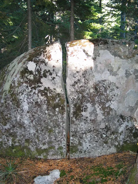
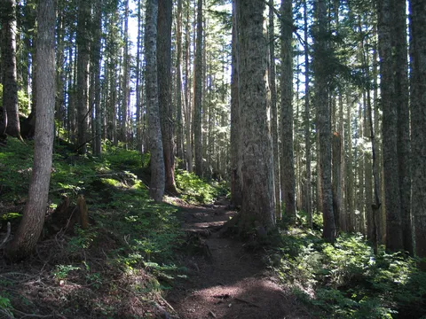
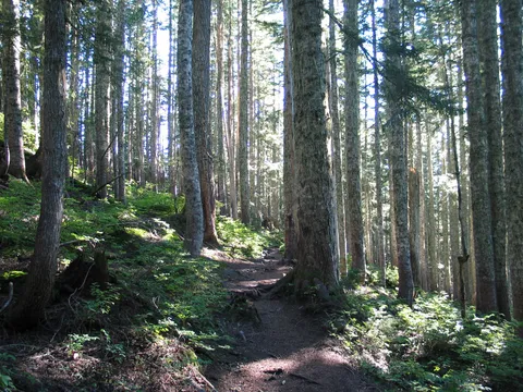
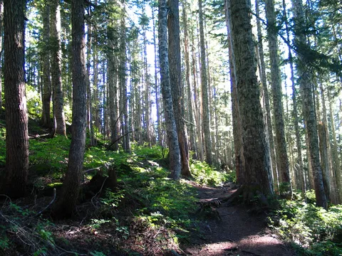
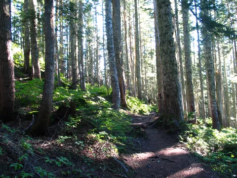
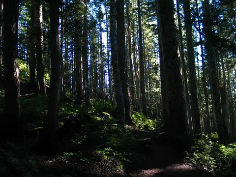
Trail Notes: I started off on this one having seen Pratt Mtn. several times from Olallie Lake, and Pratt Lake. Having been curious what the traverse was like from where the Mason Lake Creek Trail forks at the Pratt Lake Saddle I set off to climb Mt. Pratt. The first part of this hike is stretch from past Talapus lake which is quite mild and offers a nice terrain to look at with streams and occasional view making the trail even more enjoyable. Following the hike past Talapus lake the trail becomes a bit more steep though still quite enjoyable up past Olallie Lake. Where the trail junctions with a spur to Olallie Lake it is necessary to cross a stream which is a bit tricky. If you are coming when things are running off in the summer I would advise bringing a pair of footwear for crossing the stream in the event you want to ensure your footwear stays dry. Once the stream is crossed you spend about the next 40 minutes gaining the ridge above Olallie lake to the Pratt Lake Saddle. At the Saddle stay left and continue with the traverse. If you are going to have lunch around this area the best spot is on the traverse about 5 minutes past the junction on a boulder field looking over the valley.
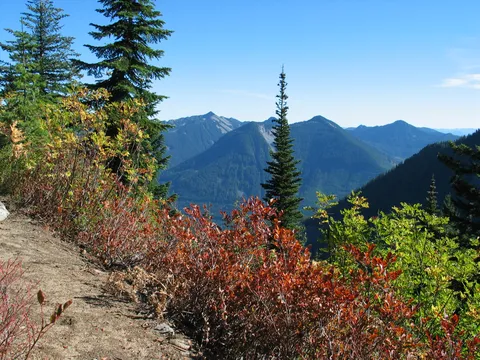
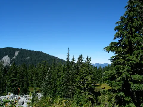
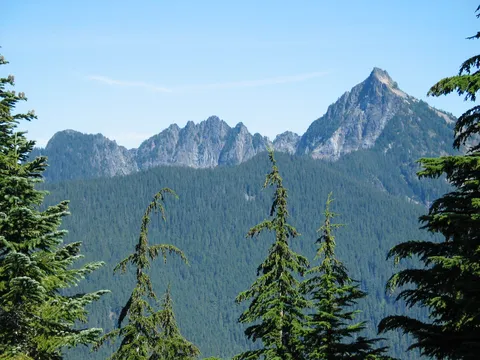
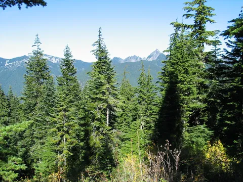
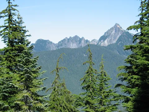
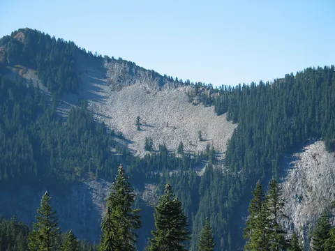
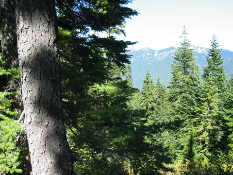
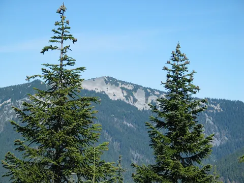
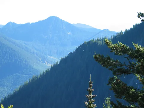
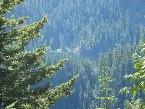
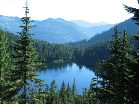
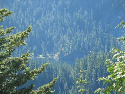
Now Pratt Mtn was in clear site from the saddle. I am thinking there is a spur trail from somewhere on the traverse to the top of Pratt Mountain. As I would find out it was not so apparent as I had imagined. The traverse itself is quite pleasant it give the impression that you are walking on the clouds as you make your way across. There are occasional views of Olallie Lake and the surrounding lake. If you are careful you will see a nice view across the valley of Island Lake which is a Tarn lake tucked away from any trail. Probably a worthy of trail destination. After a bit the traverse begins to gain elevation near the Western edge. The engineering to put the trail into this terrain borders on the genius as the slope is quite steep.
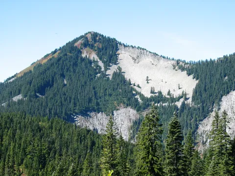
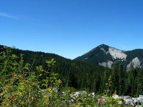
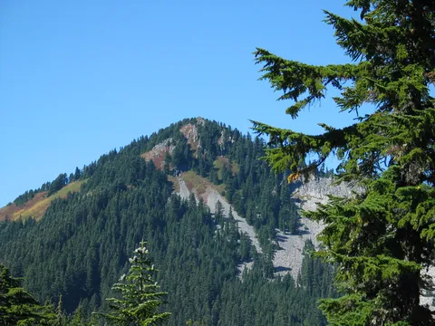
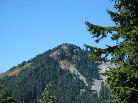
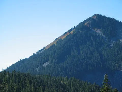
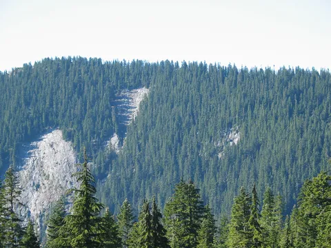
Now by this time I am beginning to wonder where this spur to the top of Pratt Mtn - but I continue on. After about another 20-30 minutes I arrive at the saddle between Pratt Mtn and Mt. Defiance. At this point I realize I must have gone too far and look up a boulder field at Pratt Mtn. contemplating retracing my steps sure I missed some obscure spur. I decide that rather than retrace my steps I will make for Mt. Defiance. My first thought is that I should be able to make my way to the top inside of an hour and a half. How wrong I was.
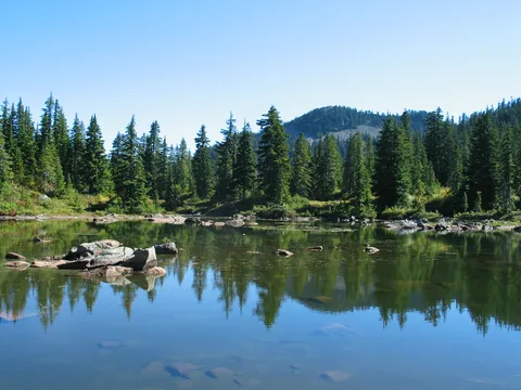
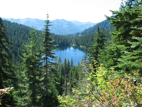
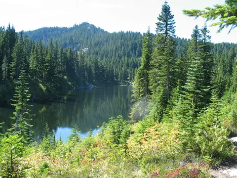
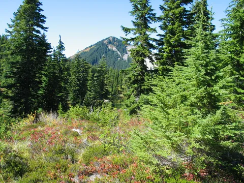
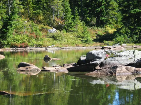
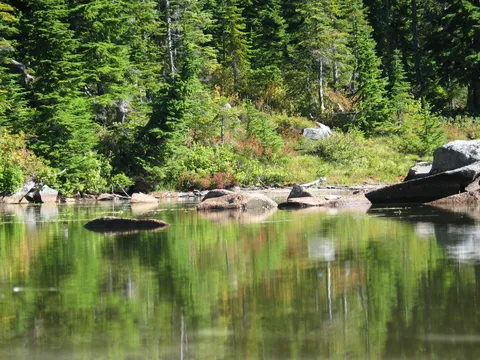
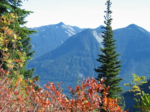
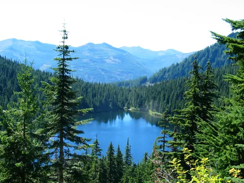
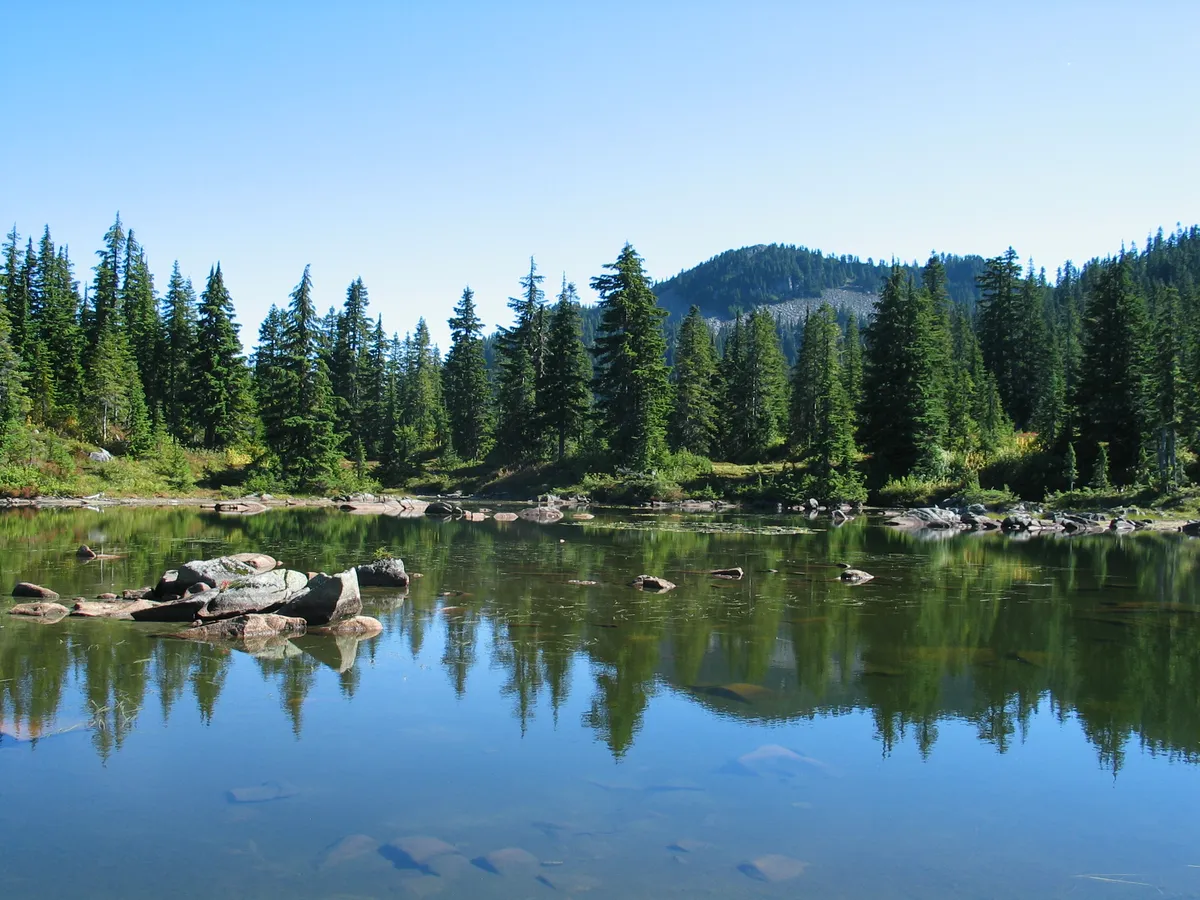
Continuing along the meadows are very nice with several lakes along the way to enjoy such as Rainbow and Blazer lake. But I wasn't stopping I was making my way to Mt. Defiance. So after a bit of undulating terrain the trail slopes down to meet the Mason Lake trail en route to Mt. Defiance. It was at this point I ran into a haggard couple who seemed sort of confused. After a brief conversation I continued on towards Mt. Defiance. This section of trail from the Mt. Defiance Mason Lake junction is pretty steep and that coupled with the remaining light available got me concerned about my return trip. So rather disappointed I turned around about 1/4 the way up Mt. Defiance overlooking Lake Kula Kula.
The return trip was uneventful I stopped for lunch at Rainbow lake and enjoyed this wonderful day of hiking around with the distinct feeling that I was going to climb Mt. Defiance in the very near future.
Photos 48
Highest rated first