

Directions:
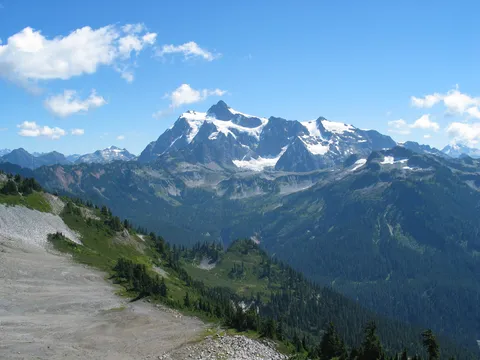
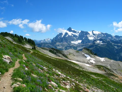
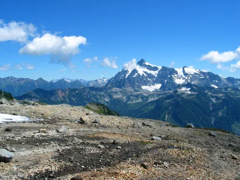
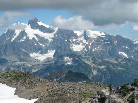
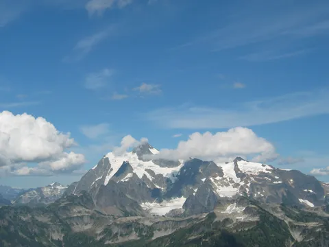
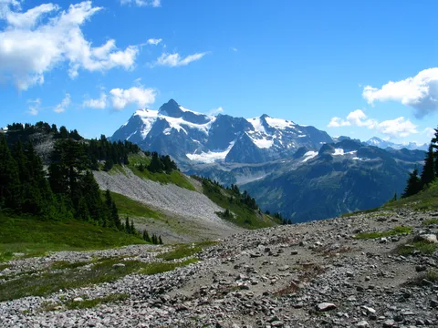
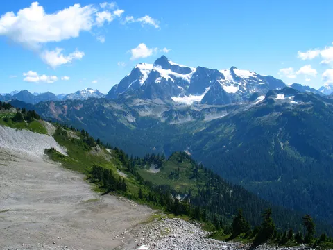
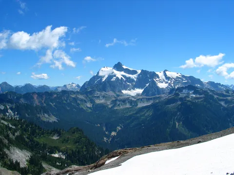
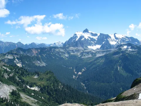
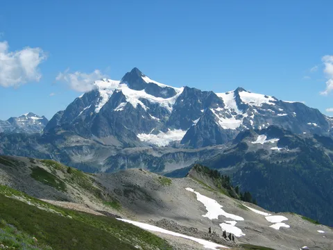
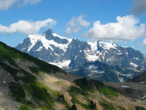
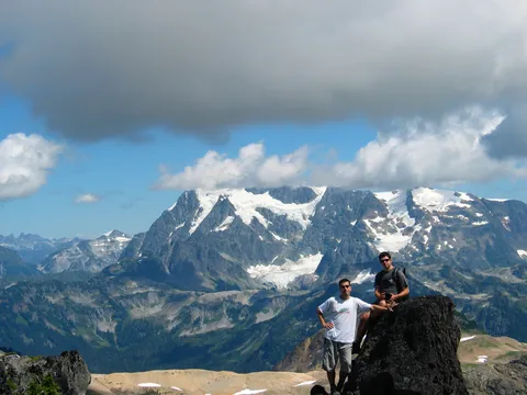
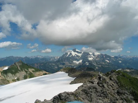
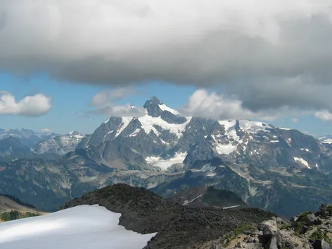
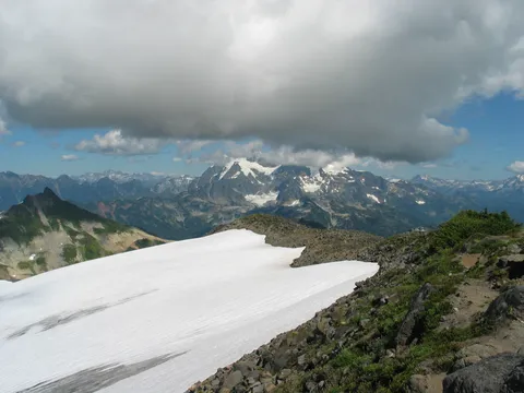
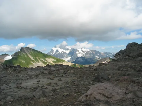
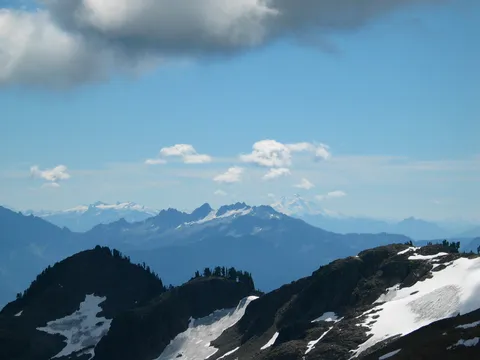
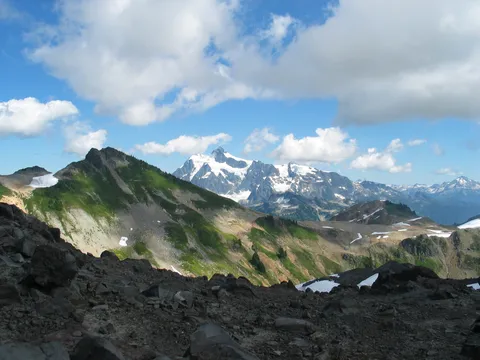
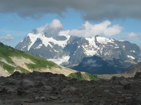
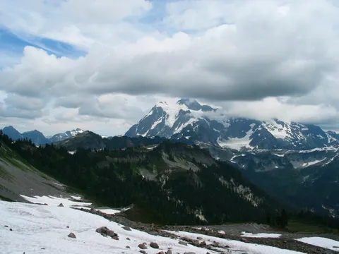
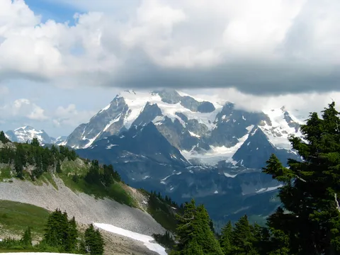
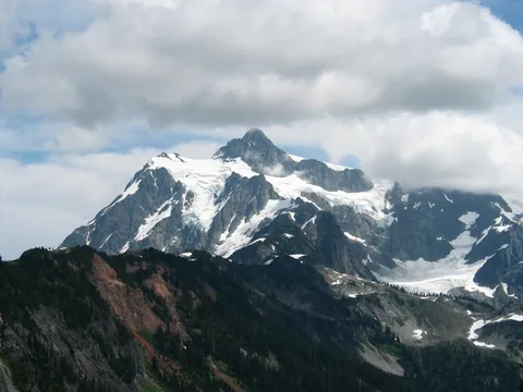
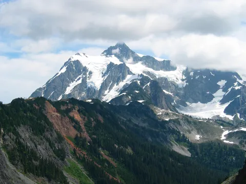
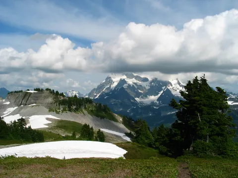
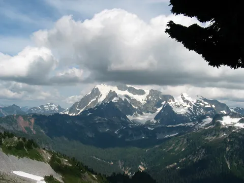
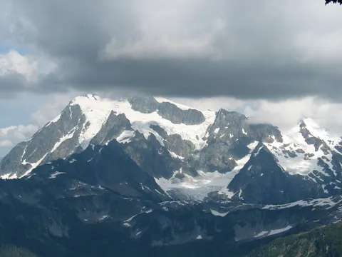
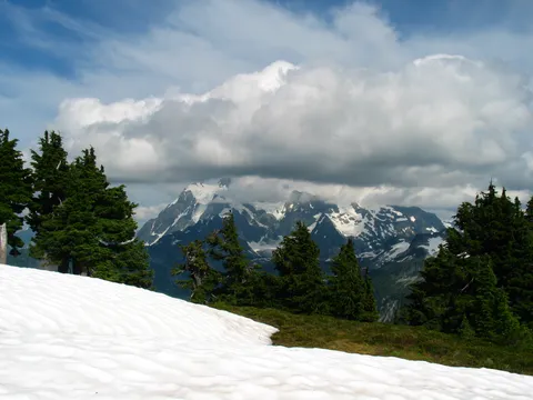
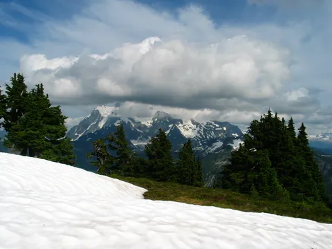
Trail Notes: We left Seattle at about 6:30 knowing today was going to be a fairly long one, yet still a little unsure as to where exactly we were going. Our initial destination was the Coleman Pinnacle, but we overshot this, thinking it was further than it was. Embarrasing to be sure, especially given I have a masters degree in applied geography . The trail begins at Artists point, which is just a short jaunt beyond the Mt. Baker Ski area. The views from Artist point are quite remarkable, you can't see Mt. Baker from the parking lot, but the view of Mt. Shuksan a breathtaking.
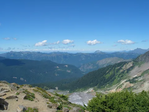
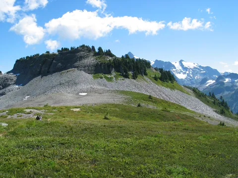
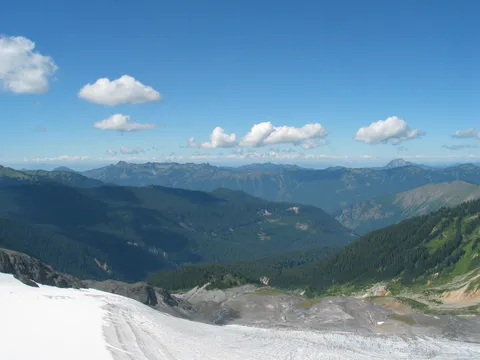
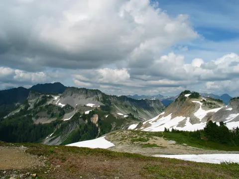
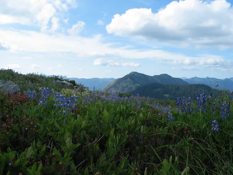
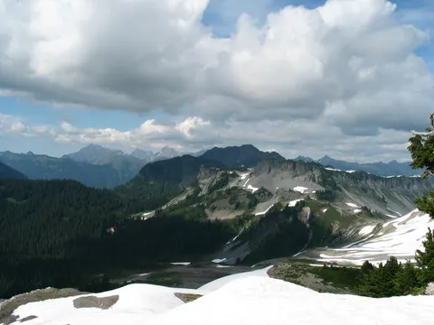
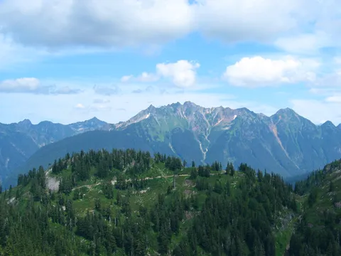
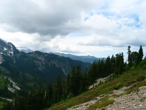
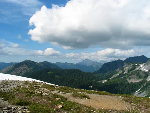
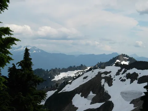
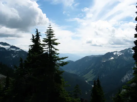
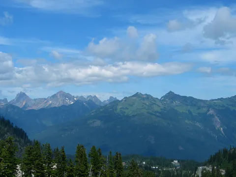
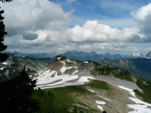
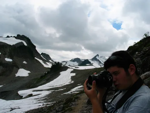
The trail leaves the parking lot headed west towards Mt. Baker, the trail is generally a traverse along Ptarmigan ridge, and for the first 45 minutes is content to neither lose, nor gain any significant elevation. During this time, views improve looking to the south, and Views of Baker lake in the distance can be seen - though you never gain a full view of the Baker lake itself. During the first hour or so you travel along side Table Mountain to the North, and arrive at a junction where one may eithe continue along Ptarmigan ridge, or instead head up Table Mountain, which as the name implies is flat as a table, or head off toward the Chain lakes - a series of mountain lakes. If one selects the Chain lakes route they will be returned to their origin on a couple mile 1-1.5 hour loop.
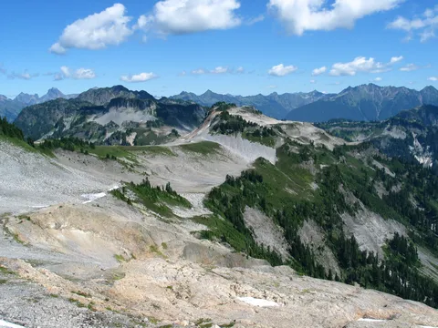
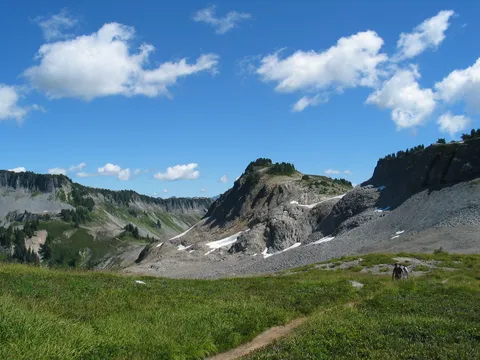
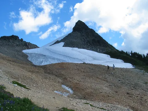
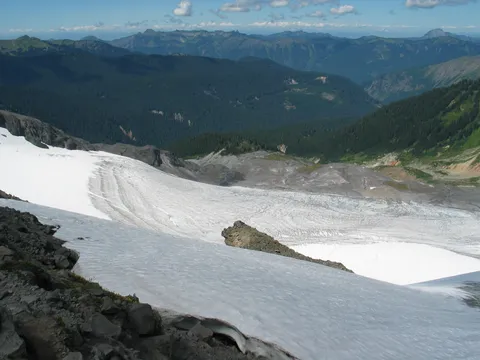
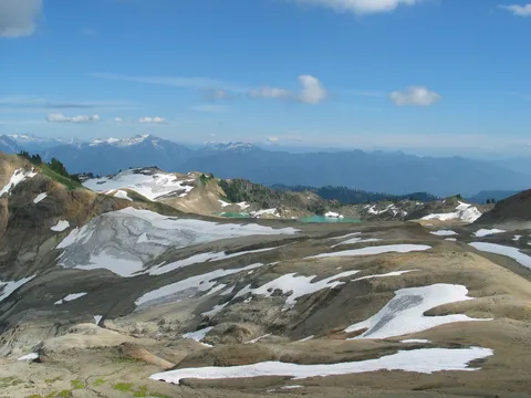
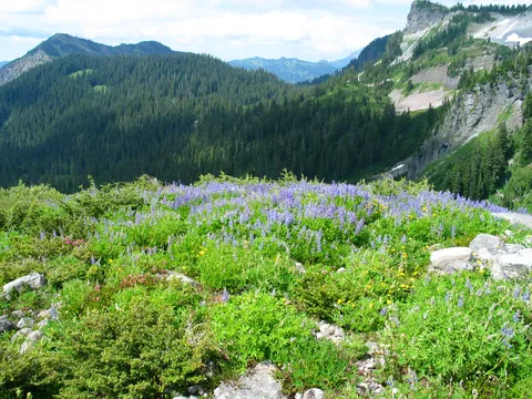
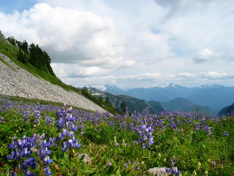
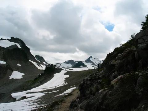
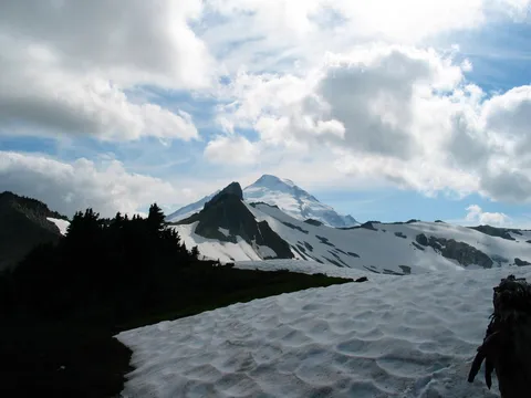
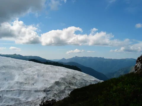
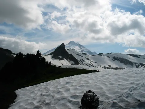
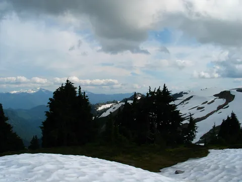
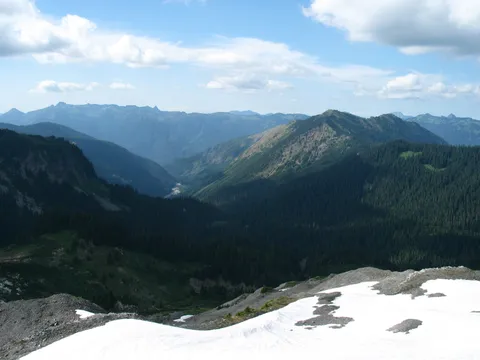
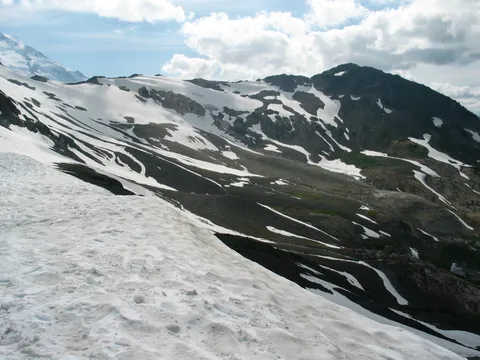
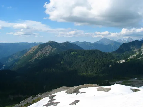
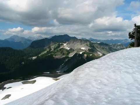
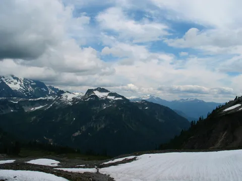
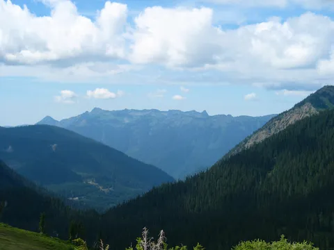
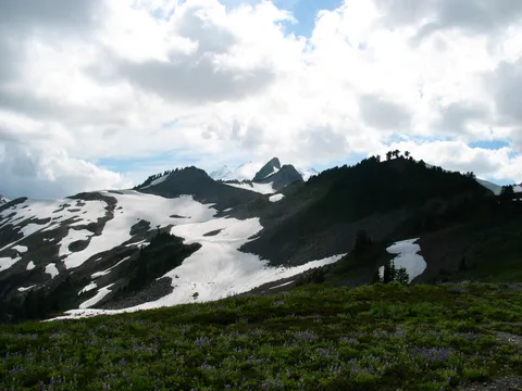
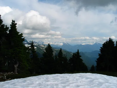
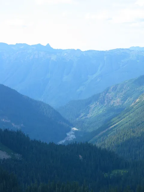
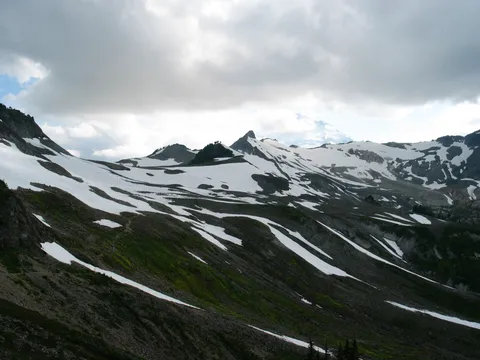
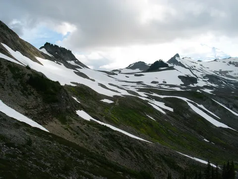
We continued along the traverse, which at this point loses several hundred feet to get around a steep section ridge. Here you will cross a running stream and likely spy your first snow packs. One thing to be mindful of is that if there are still snow fields this year ( a year with very little snow) one can expect to run into them just about any year. On this section of the trail one will be able to look north up towards Canada - the viewshed is pretty prestine, I don't remember seeing any clear cuts in the distance. The trail once crossing the stream gains some elevation as it regains the ridge. From her the trail switches to the South side of the ridge, and continues along in a relativly flat manner for another hour or so ( Unless you are a trail runner in which case the duration is significanly less ).
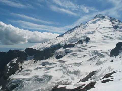
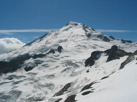
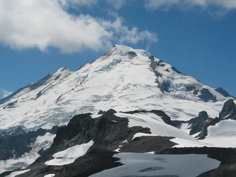
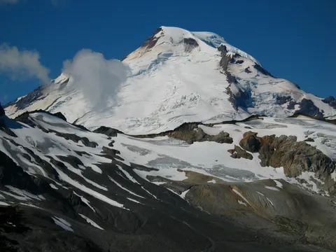
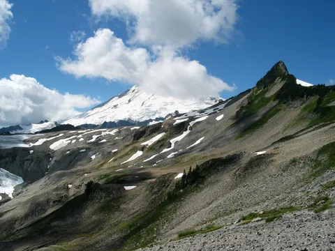
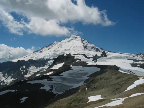
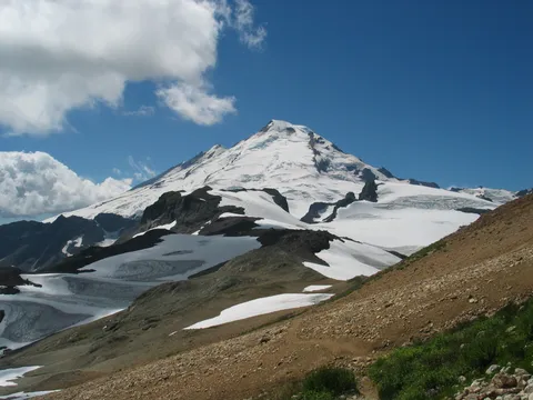
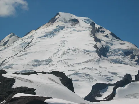
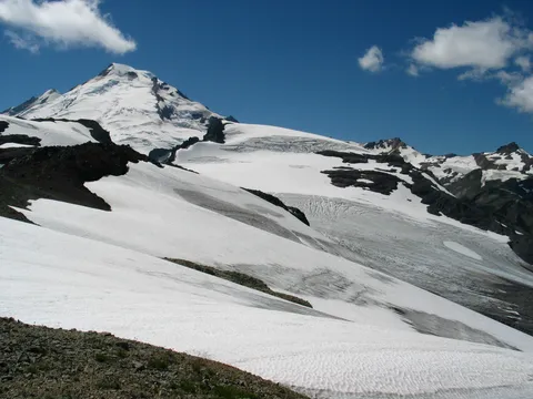
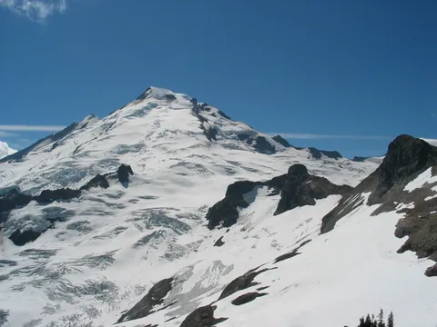
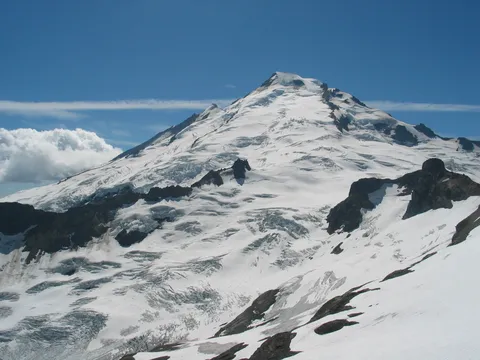
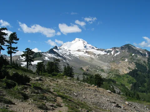
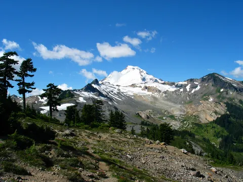
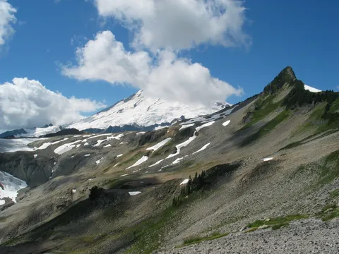
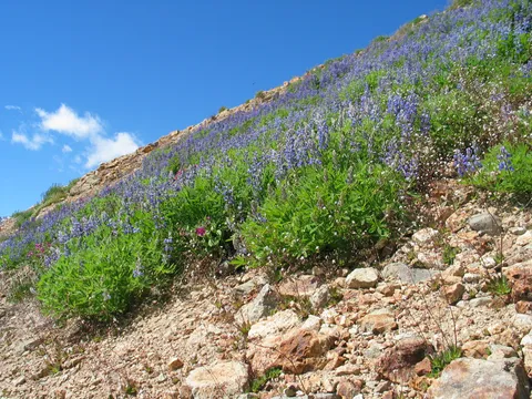
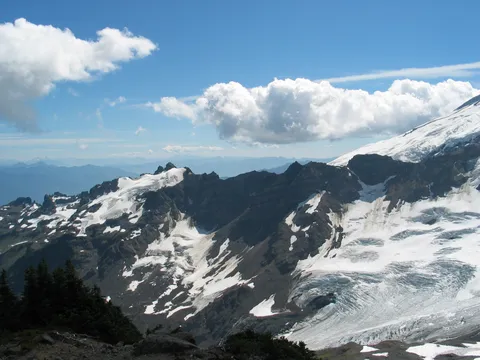
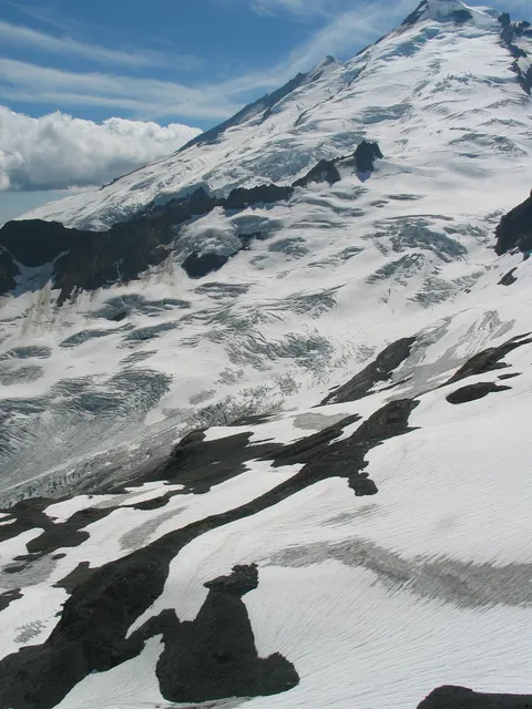
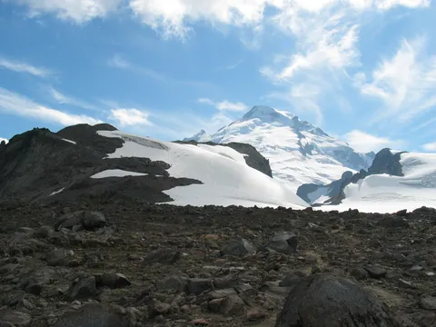
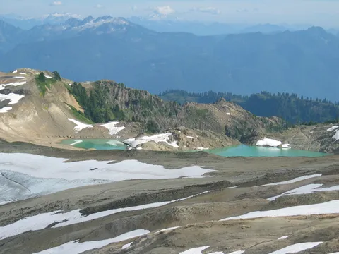
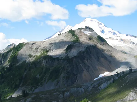
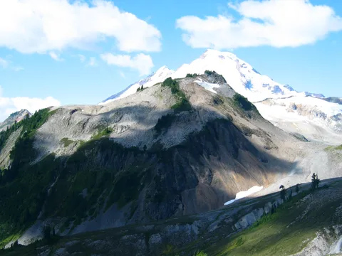
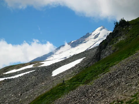
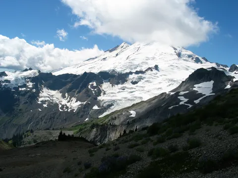
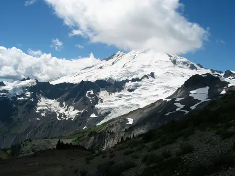
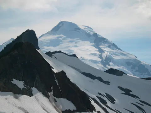
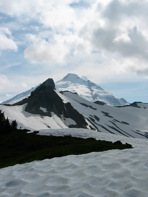
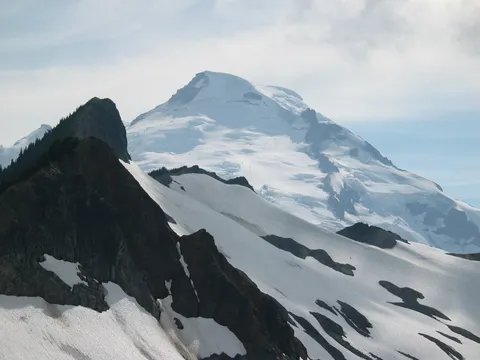
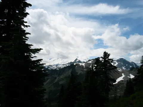
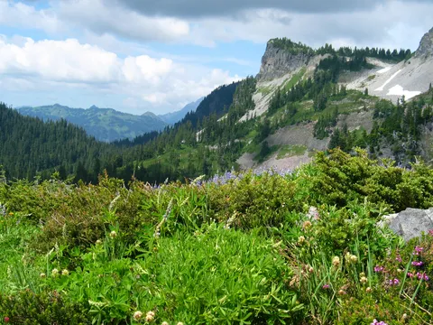
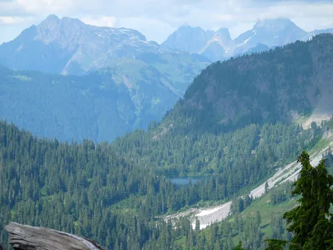
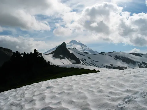
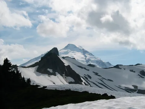
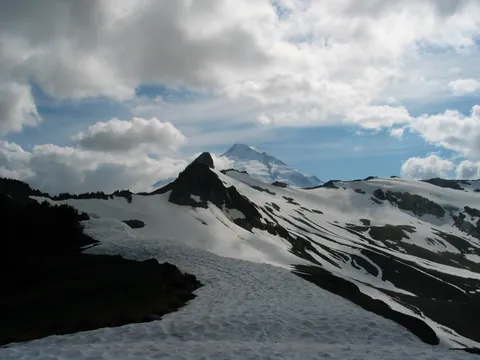
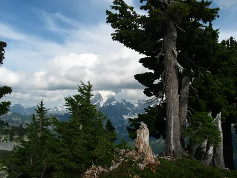
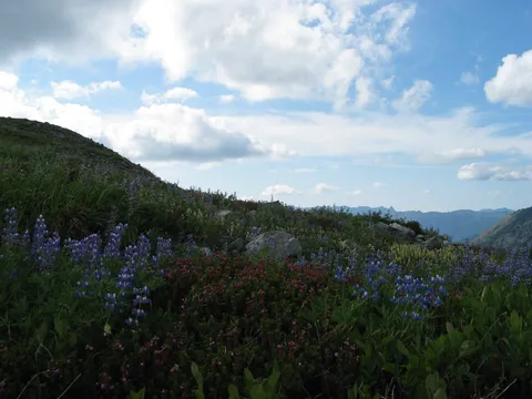
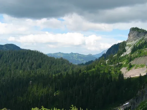
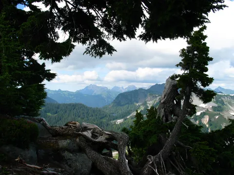
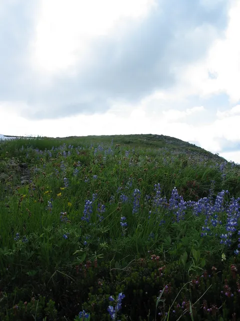
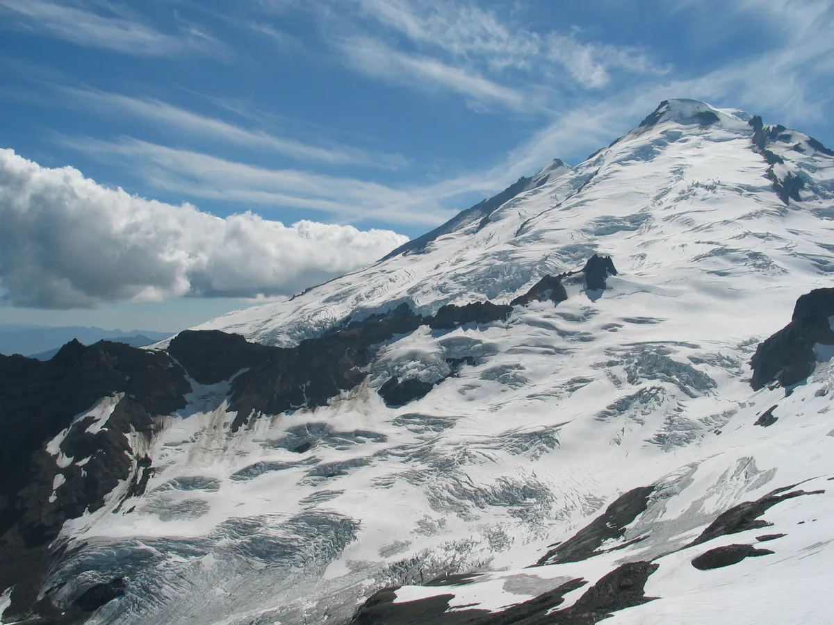
Rounding the next section of the trail one will be approaching the bottom of the Colman Pinnacle and a couple lakes should be seen to the South. At this point, one has a completely unostructed view of Mt. Baker looking to the West. A choice will need to be made - to continue along the trail or to travel up the slope to the Coleman Pinnacle. We unwittingly, though quite happily decided to continue on. The trail here gains a little elevation along a steep yet vegitated slope, and then decends through a small patch of trees. From here, one can see Mt. Baker continuously, as well as decern the trail itself across the valley.
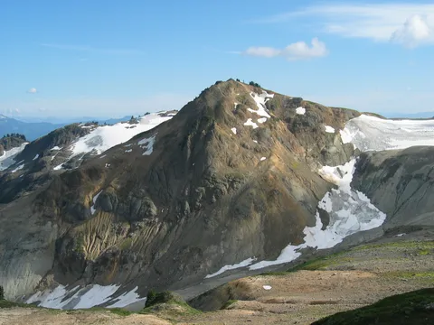
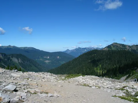
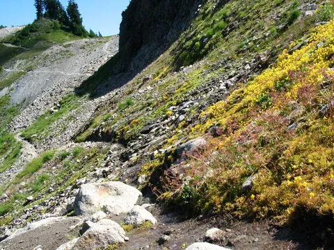
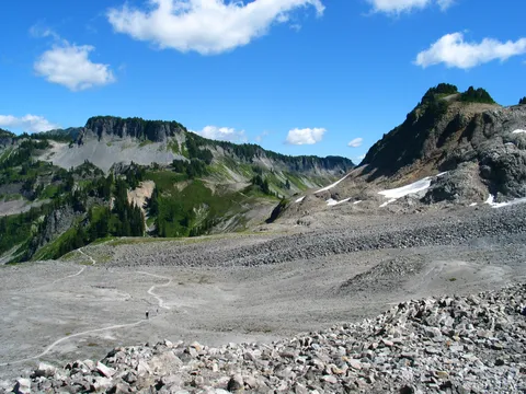
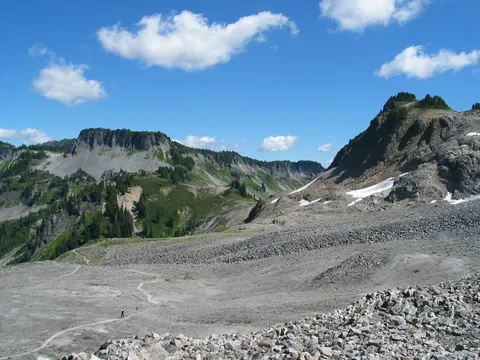
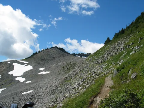
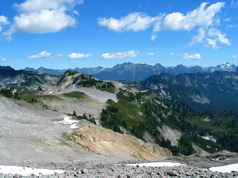
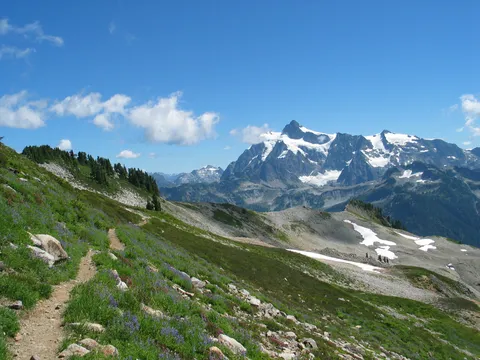
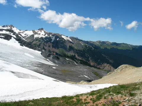
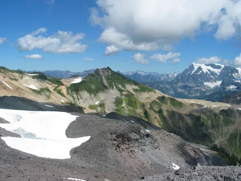
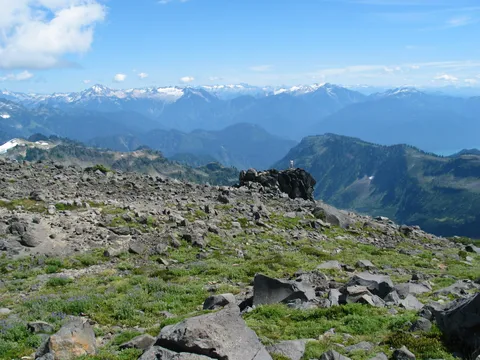
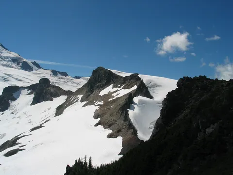
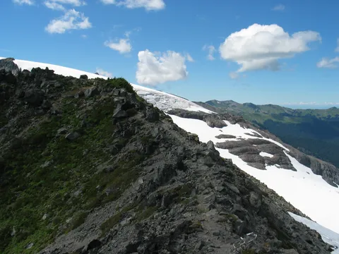
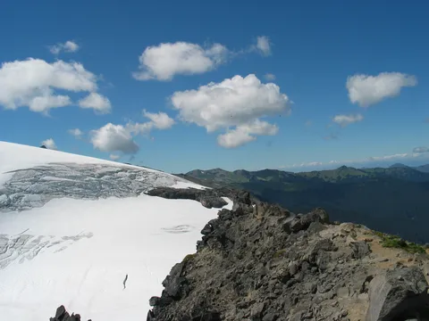
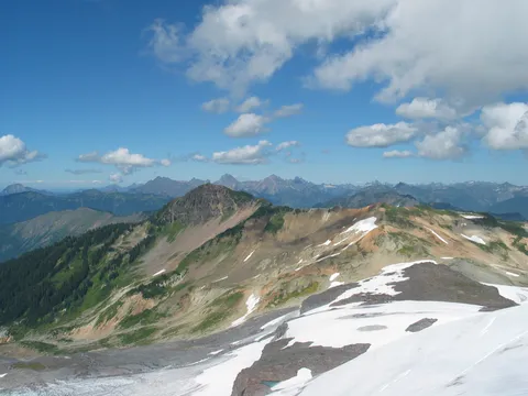
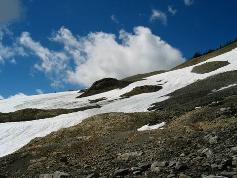
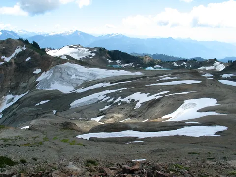
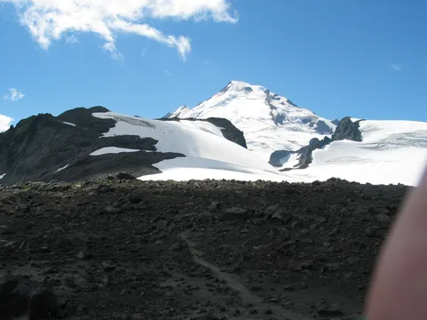
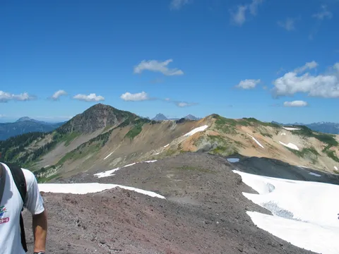
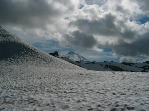
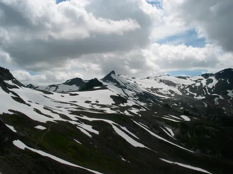
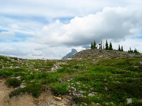
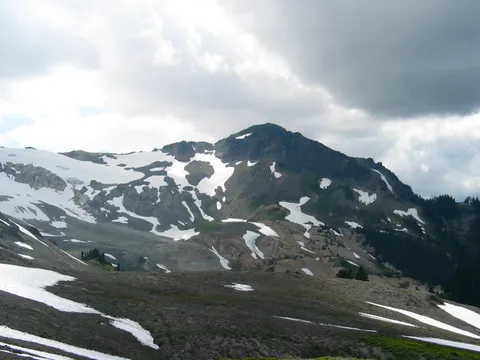
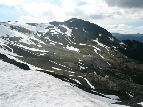
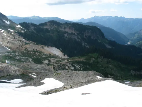
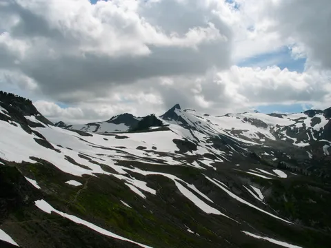
We continued along another hour or so gradually decending down towards a low point in the ridge. From here, the trail seems to stop, but a lesser defined trail continues on. We chose to go forth and see where this trail goes. After crossing the level plateau the trail works its way up a steep section of talus, and untimately crosses a smaller snow field. Once the snow field is cross the trail shoots up a steep talus ridge and begins to work its way along the ridge. This section of the trail varies in steepness from gental to fairly steep, and the trail itself sometimes gets lost in a braided pattern much as a river would. Still following the ridge is easy and losing the trail isn't a real concern.
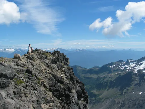
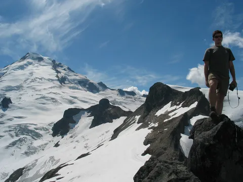
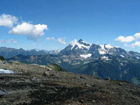
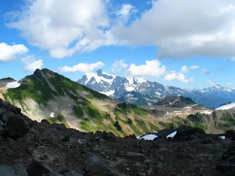
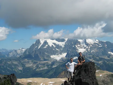
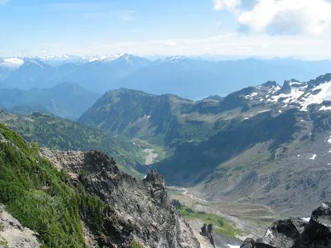
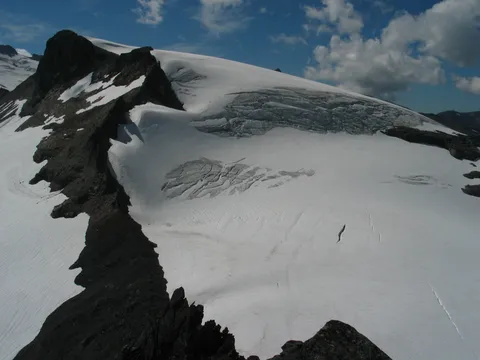
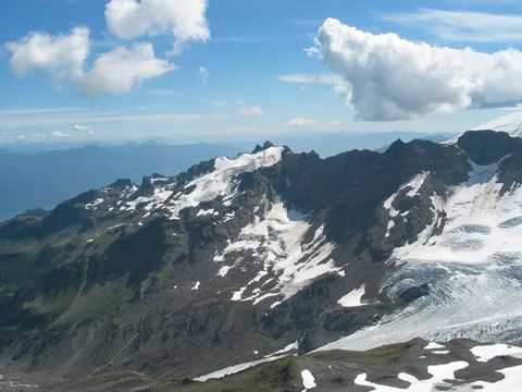
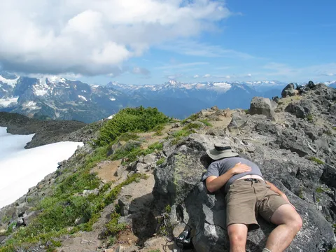
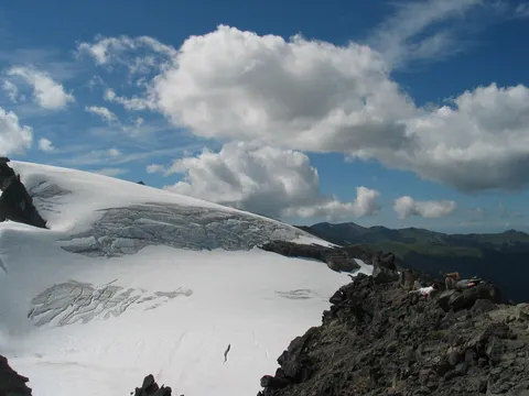
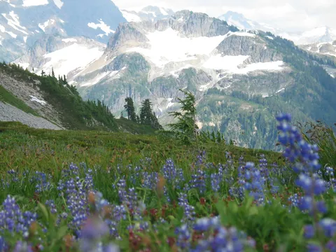
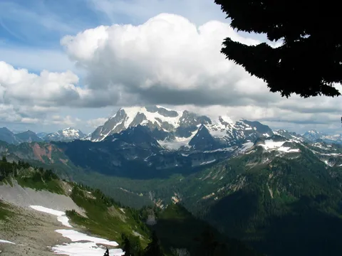
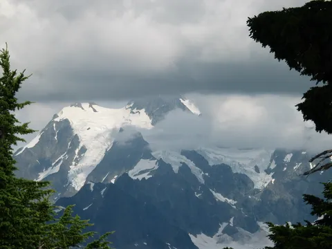
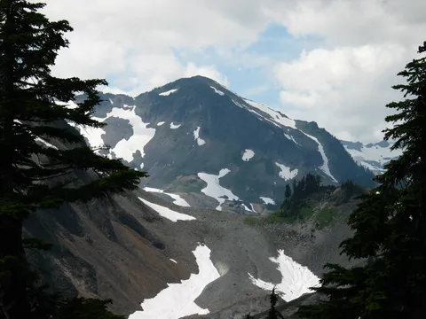
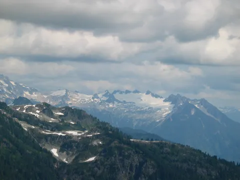
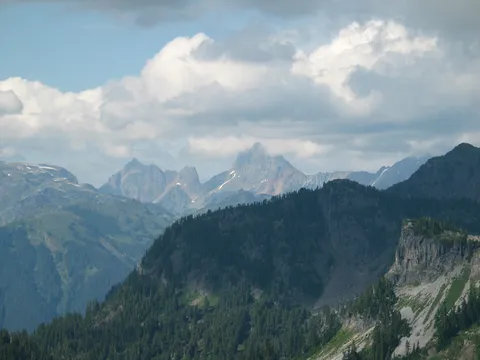
After about another 40-60 minutes you will reach the terminus of Ptarmigan ridge and be up several hundred feet above the surrounding environs. The view of Mt.Baker is remarkable, as are the views of Shuksan to the east. We chilled out here for about 40 minutes and had lunch, and hadn't seen a soul since clearing the snowfield. It was very nice to get away from the masses you will encounter on the trail. If you are after solitude, now doubt you will want to continue beyond the Coleman Pinnacle, to the end of Ptarmigan ridge. From the final stopping spot you will also have views of the Portals across the way. Do be careful though, the drops on western side of the terminus are precipitous.
On balance I would say this hike isn't too difficult, but is fairly long. If a shorter hike is desired, one could simply turn around whereever and still have an excellent time. The views are quite nice. I would put it in the Mt. Rainier class of hikes. Supercalifragitastic!
Photos 83
Highest rated first