Directions: From Seattle head east on Interstate 90. Bypass Cle Elum unless you want to stop at a popular, local bakery. Take Exit 85 and go east (right) onto state Route 970 (signed Wenatchee). In about seven miles, turn left onto Teanaway River Road. Follow that road about 13 miles to a junction at 29 Pines Campground (where pavement ends) and Forest Service Road 9737. Turn right onto No. 9737, drive about 1.3 miles and turn right on Stafford Creek Road (FSR 9703). Continue about 2.5 miles to the signed trailhead and facilities, elevation 3,100.
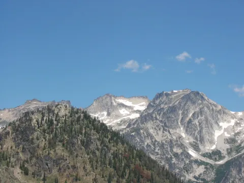
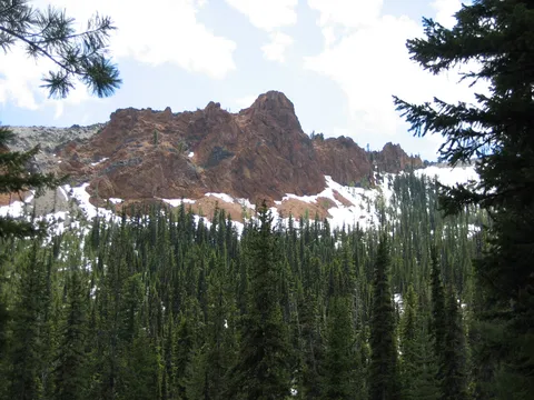
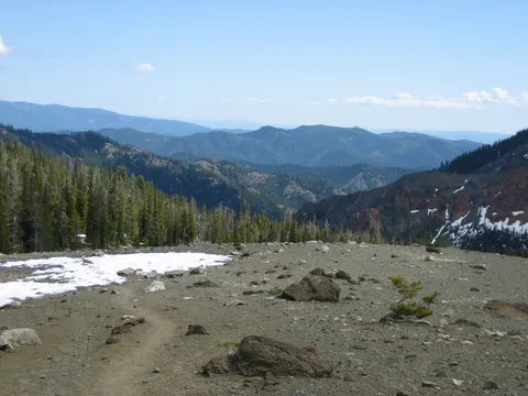
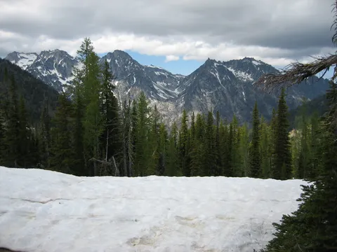
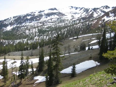
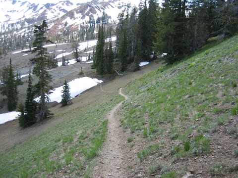
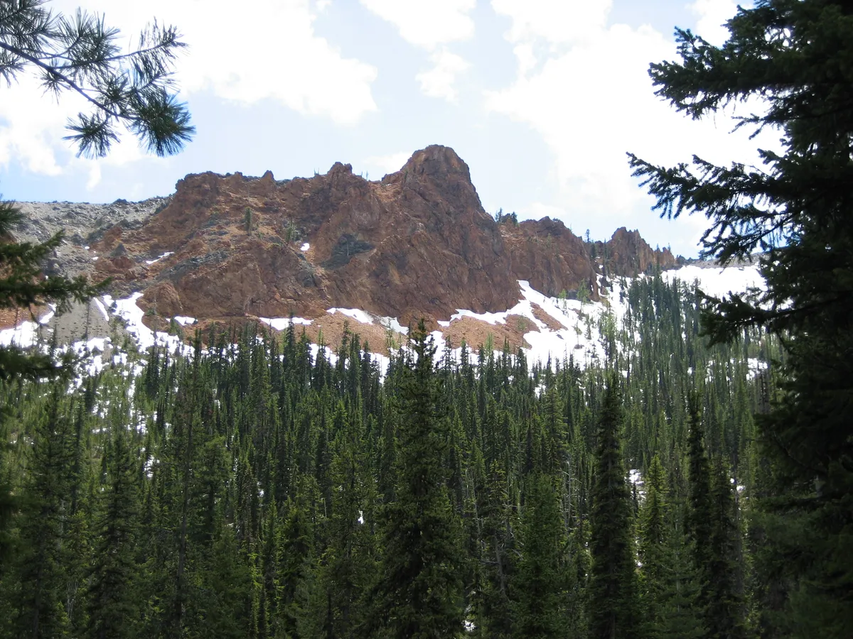
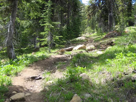
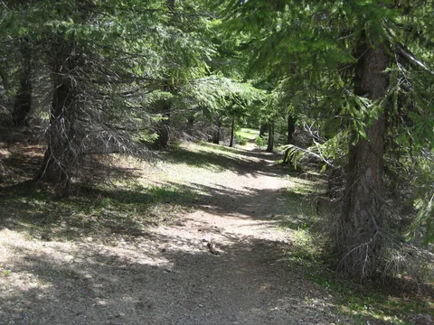
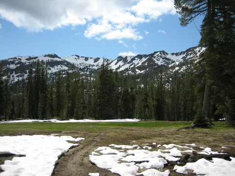
Trail Notes: The weather was to be in the low 100's in the Kittitas Valley. This hike is 11 miles round trip and the elevation gain is 3,000 feet. Navajo Pass elevation is 6,000 feet. There is plenty of water on this hike and the lower part is an easy uphill walk. At the 5,000-foot elevation level the trail splits into the County Trail. There is a nice stream here to cool yourself and refill your water. After the 5,000 foot elevation the trail has places that are rocky but not that bad. There were a couple of muddy places on the trail but not that bad. At the 5,700 foot level is a nice meadow. After the meadow it becomes a good climb and hot as you are exposed to the sun, as there are no trees. There are plenty of wildflowers to enjoy and not a lot of people hiking this trail. Once at the top the Stuart Range is almost at your grasp. This is a great hike and a great access to the Stuarts.
Photos 1
Highest rated first