
Directions: From Seattle take Interstate 90 east to 405. Take 405 North. At exit 23, turn RIGHT onto Ramp toward WA-522 Monroe. Once in Monroe go East on Highway 2 until you get to Index (Index Café). Turn left off Highway 2 onto Index-Galena road. Go 14 miles to Forest Road 63. Turn left and follow the gravel road two miles to the trail head.
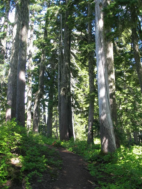
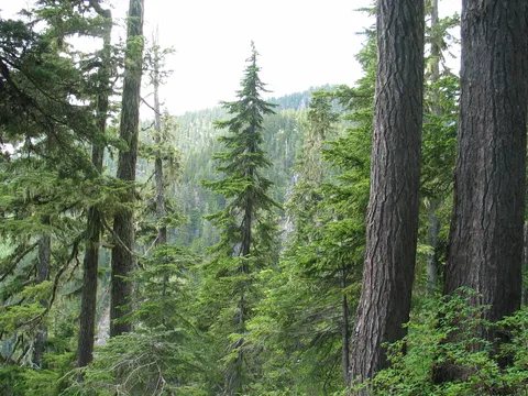
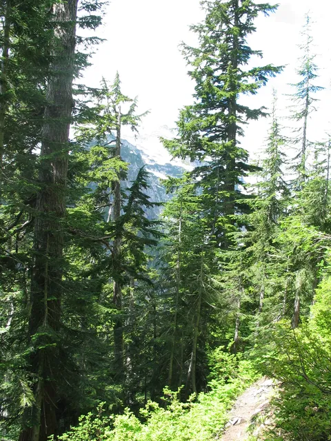
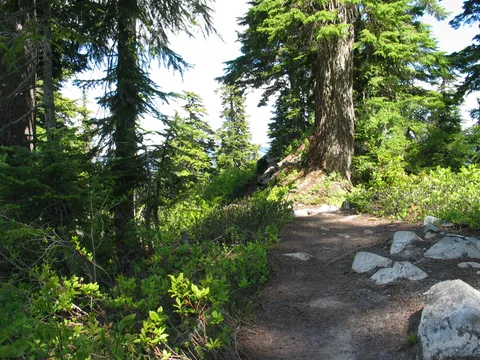
Trail notes: Blanca Lake is wastes little time getting down to business. The hike begins in somewhat dark overgrown type setting with quite a bit of deciduous trees. For the most part the trail is in pretty good shape with few downed trees across it. For the first 40 minute to an hour the Blanca Lake trail winds through the forest with no views to speak of save for the under story. Don't despair; there is plenty of old growth Cedars and Fir along the way to keep you occupied. The trail switchbacks for what to me seemed like a long time between what sounds like a large stream though it was never seen on the Southern side and a small ephemeral creek to the North. I wouldn't trust that finding water on your way to Blanca Lake would be easy. My advice - pack more water than you think you normally would.
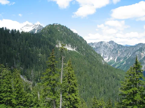
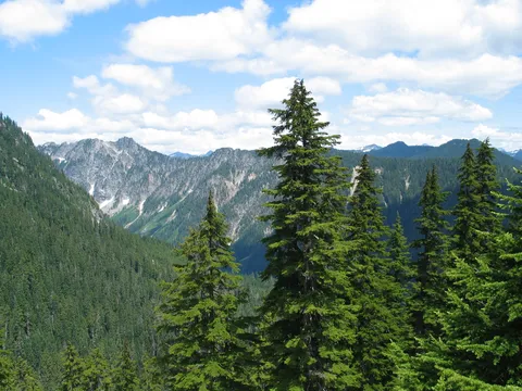
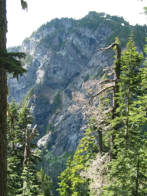
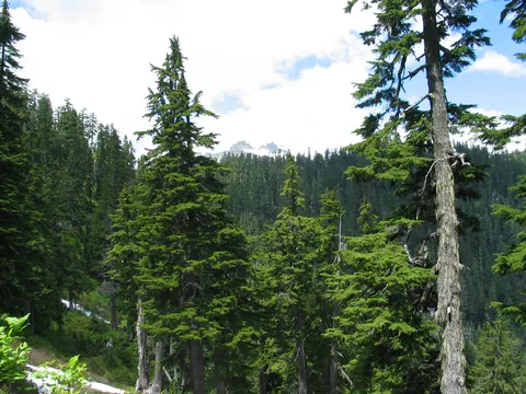
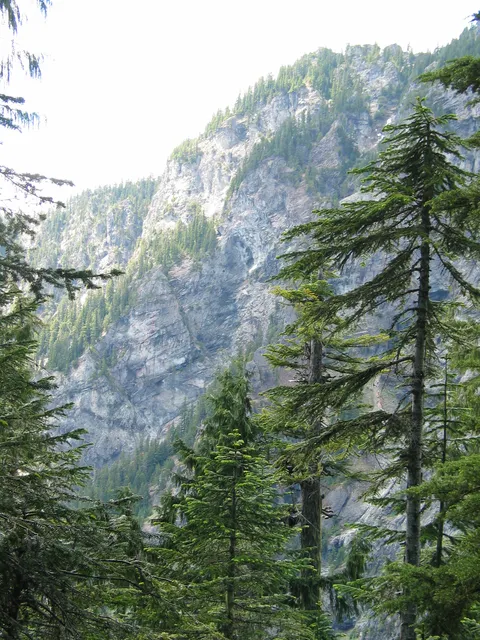
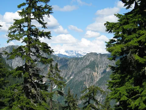
Around the 40 minute mark you begin to get peek a boo views of the valley left behind, though you can't really see a very wide expanse. Finally, the trail reaches starts to level out after a couple steep spurs and the trees begin to thin out a bit. It is then you can see the true saddle separating you from Blanca Lake.
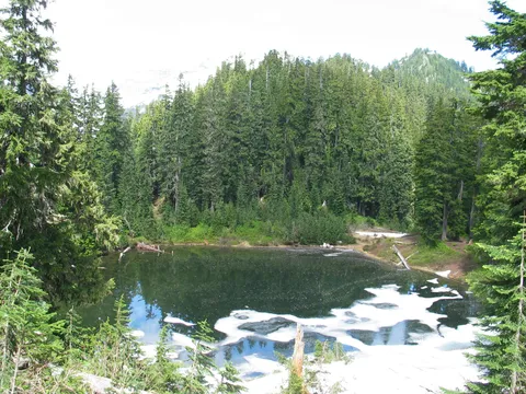
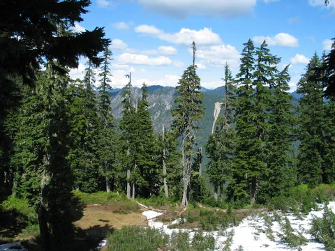
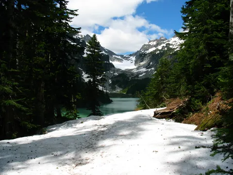
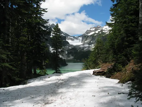
There is still a bit of snow at the saddle though it is quickly melting. Very near the Apex of the climb is signage indicating you are entering the Henry M Jackson National Forest. From here is just a quick few downhill minutes to virgin lake, which certainly didn't seem like it fit the name. Very foamy and otherwise 'No mas Gusta'.
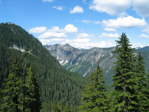
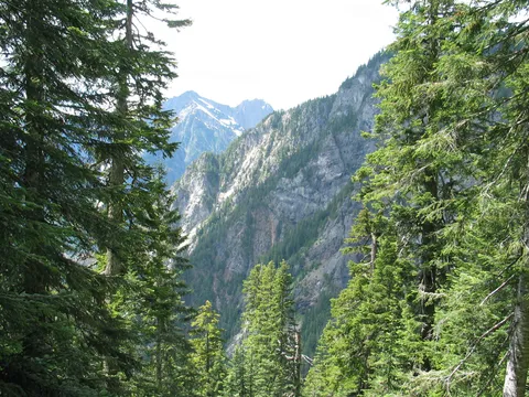
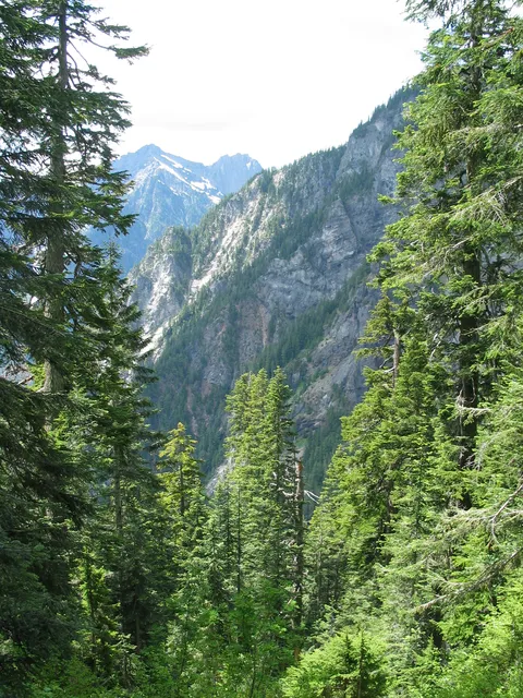
Now the down hill begins as you descend the 600 feet to Blanca Lake. The trail is rough and the view down the valley initially imparts a false sense that you will be losing more elevation than indicated. Don't worry, the valley floor rapidly comes up as it nears Blanca Lake.
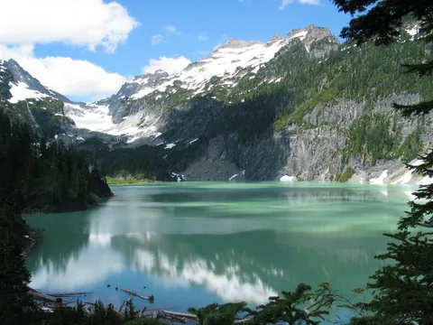
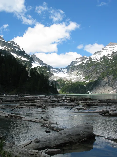
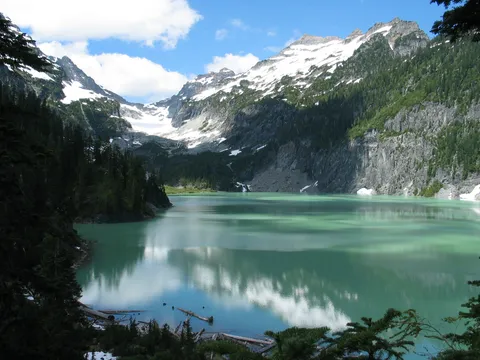
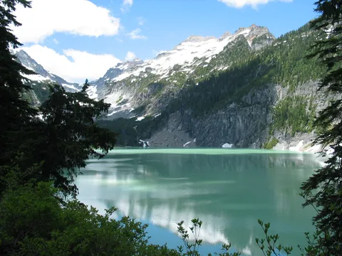
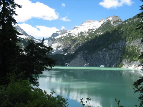
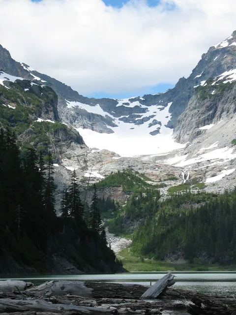
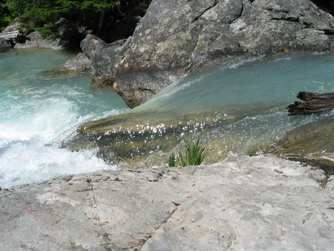
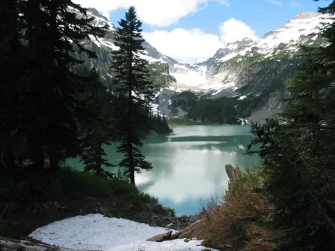
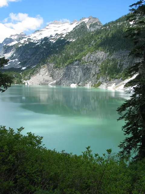
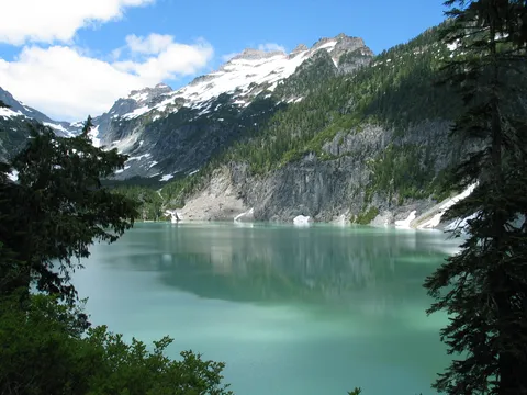
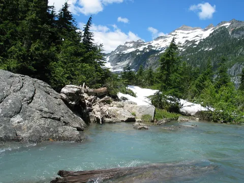
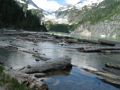
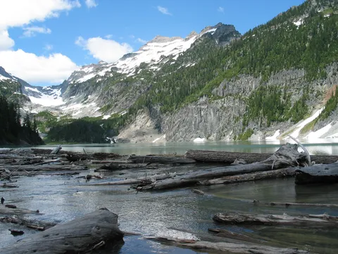
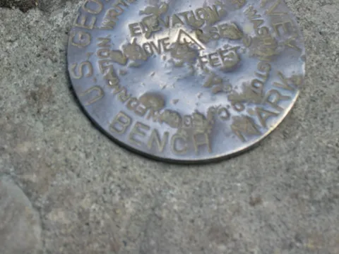
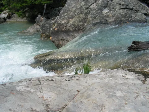
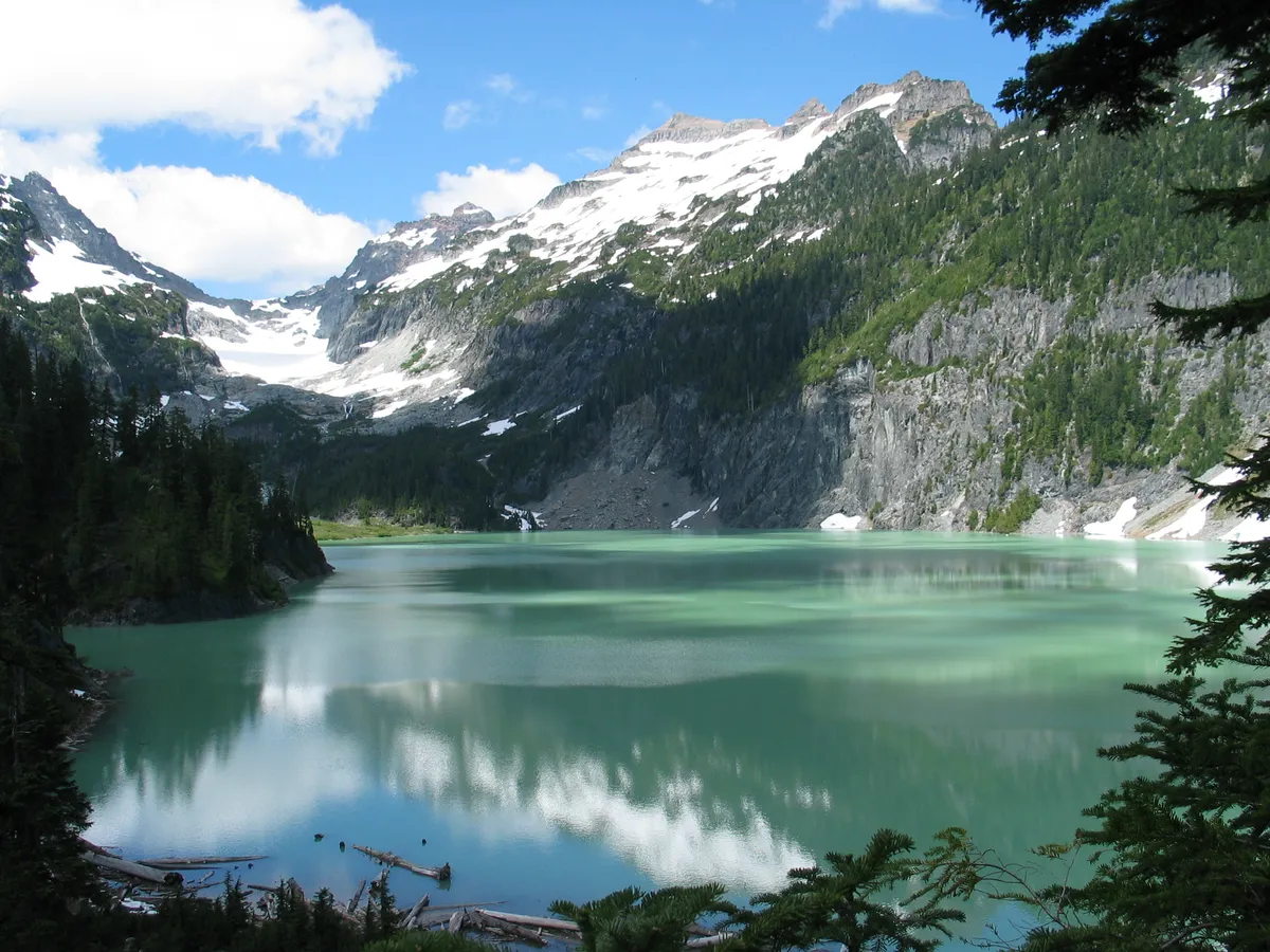
There isn't anything too spectacular about this part of the hike, the views are pretty limited. Shortly thereafter you reach the lake itself. The best view I could find was actually on the trail about 50 feet above the lake. As you get down close to the lake you lose the white milky glacial till effect and it just isn't quite that special. The water running out of the lake is still flowing with considerable volume and should not be crossed until the flow is lower. There is no bridge; this is the end of the line, and there is a USGS marker here too.
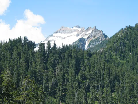
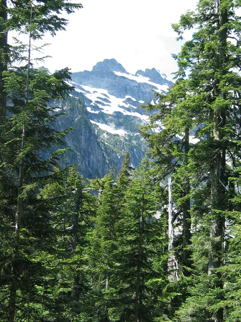
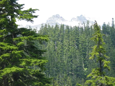
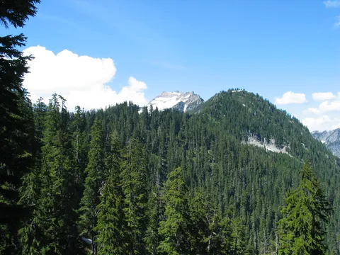
The return was mostly uneventful, but take your time as you are about to descend into the trees. Look left and you should on a clear day have an excellent view of Glacier Peak!
Photos 39
Highest rated first