

Skyscraper Mtn & Berkeley Park

5.0 out of 5, (1) Mt. Rainier National Park, WA Moderate 2 trip reports · 452 photos
Round trip
15 mi
Elevation gain
2,950 ft
High point
7,040 ft
Difficulty
Moderate +
Season
Jun – Oct
Pass
None
Dogs
No usually
Trip report

July 9, 2006

by John Munyan with alexi
Moderate 8 hours Verdict: Great
★★★★★ No votes yet · log in to vote

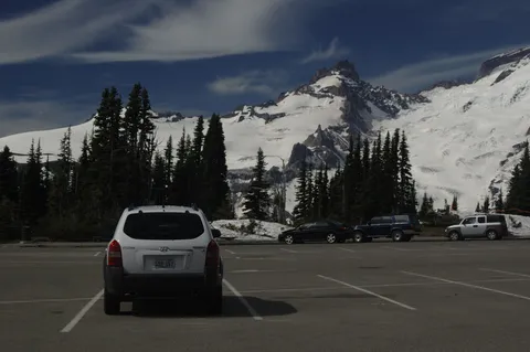
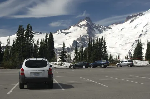
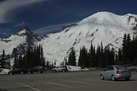
Directions: From Enumclaw drive 43 miles east on Highway 410 to the Mount Rainier National Park White River Entrance Station. Follow the Sunrise Road 17 miles to the large parking lot and visitor center at the roads end.
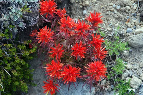
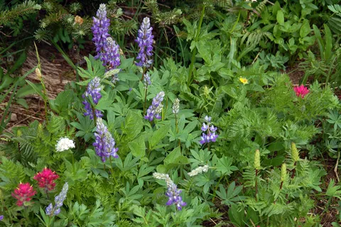
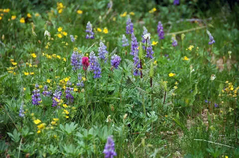
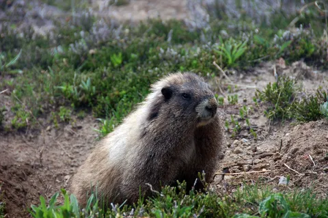
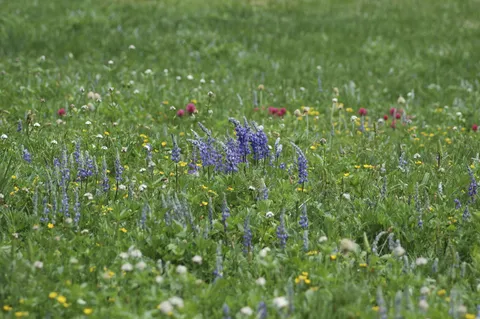
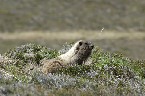
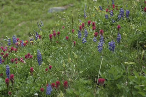
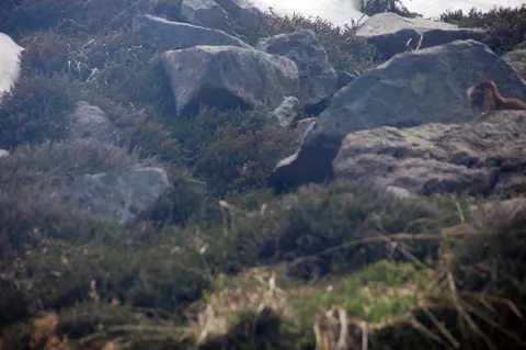
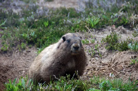
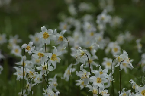
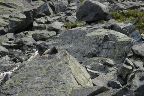
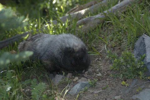
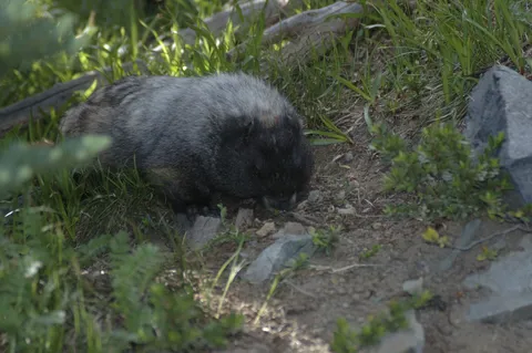
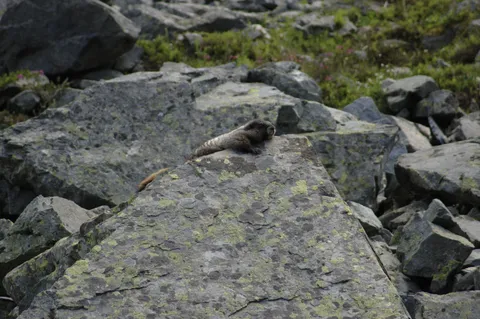
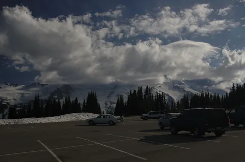
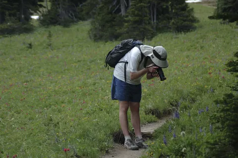
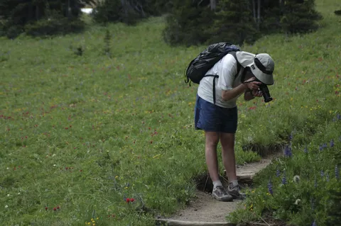
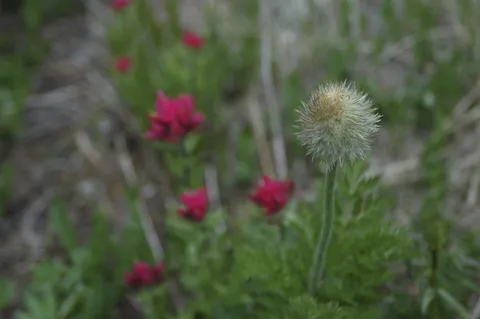
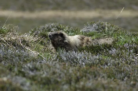
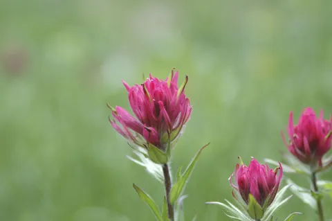
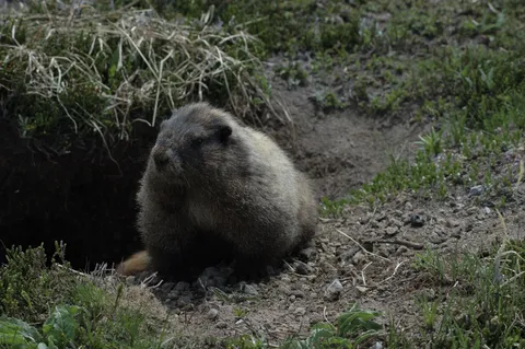
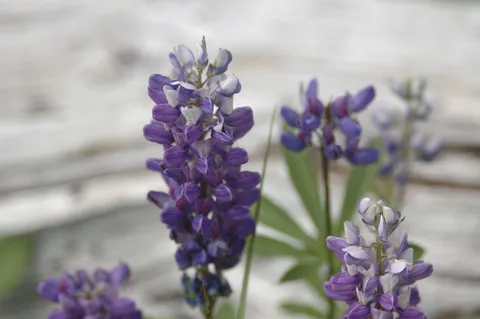
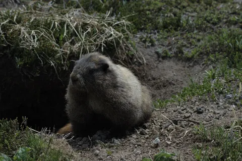
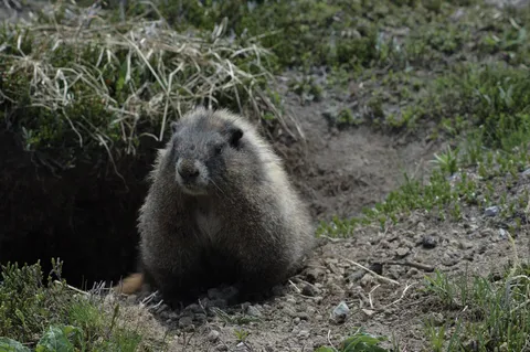
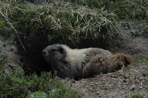
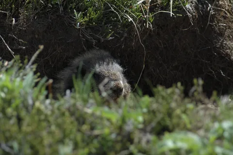
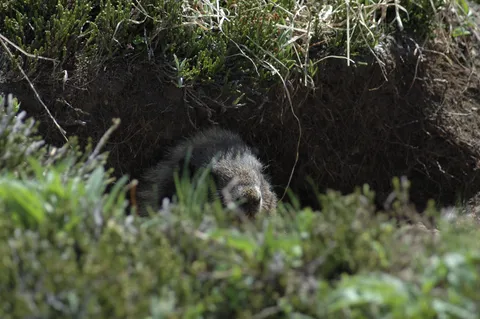
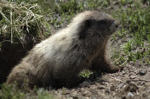
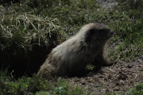
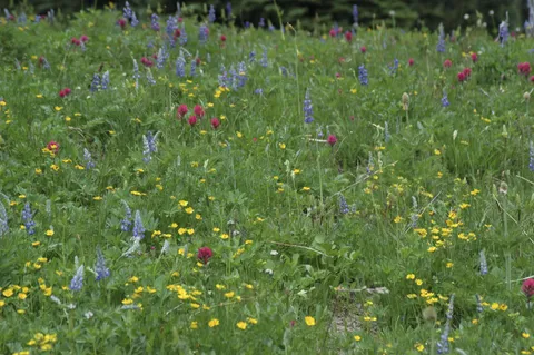
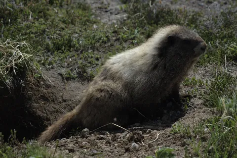
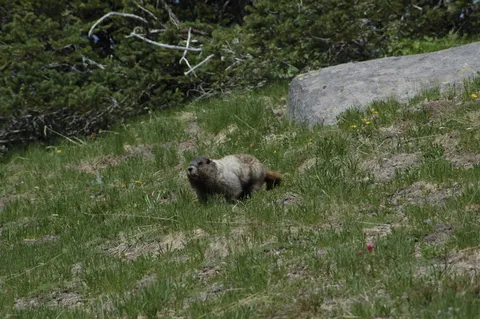
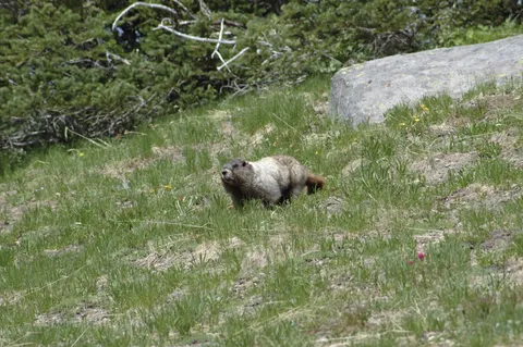
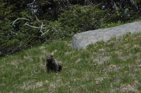
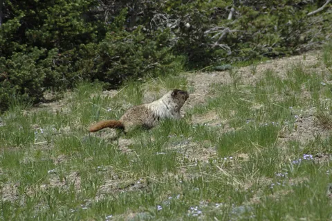
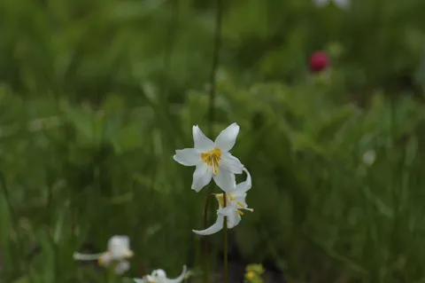
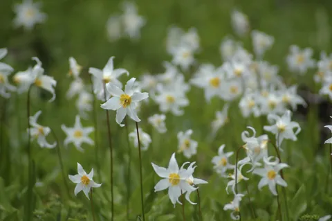
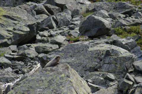
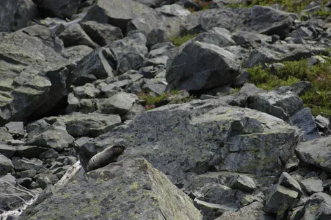
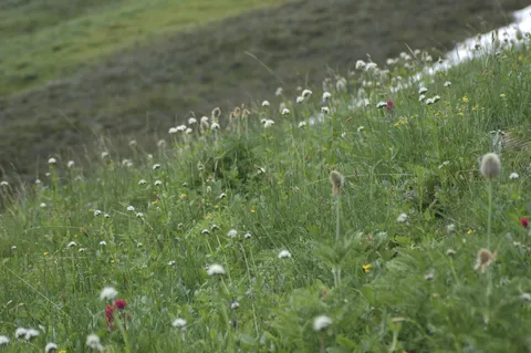
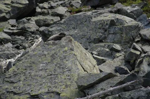
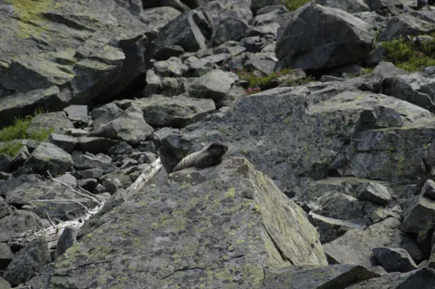
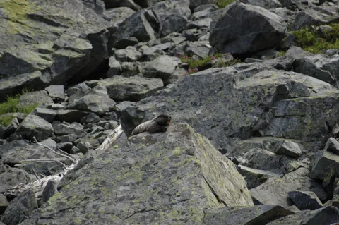
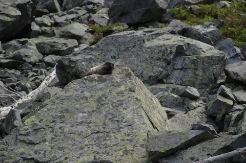
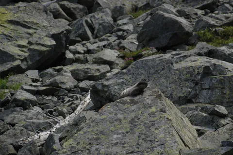
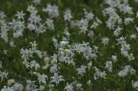
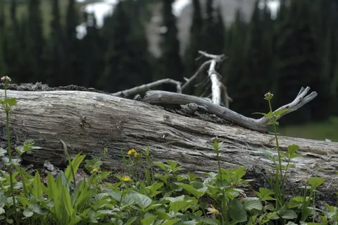
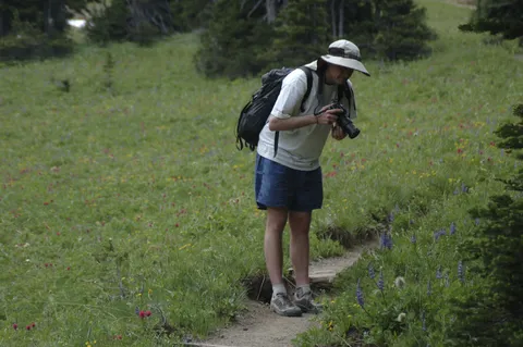
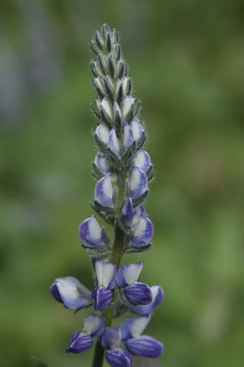
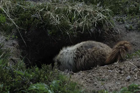
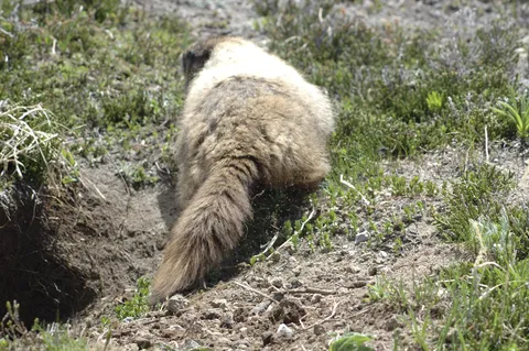
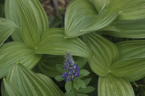
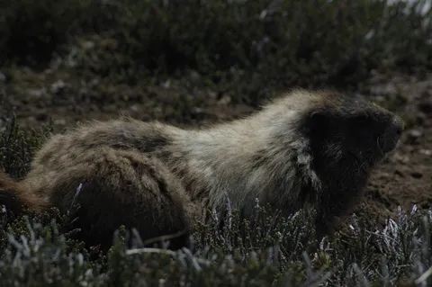
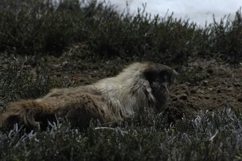
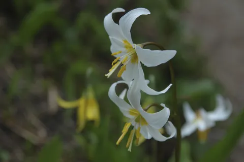
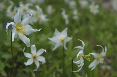
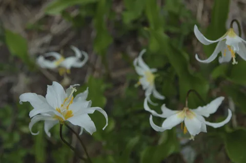
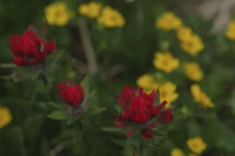
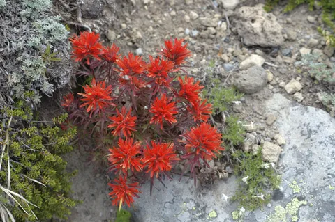
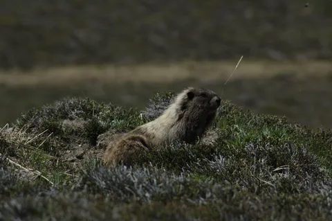
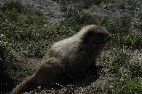
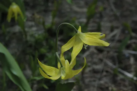
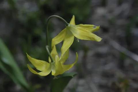
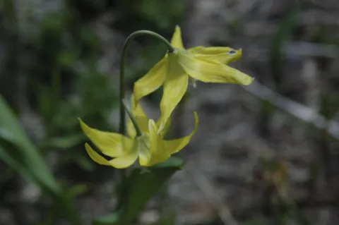
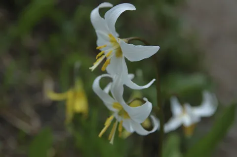
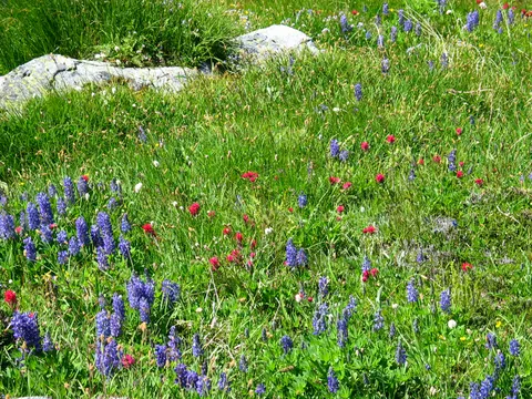
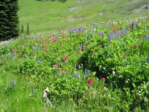
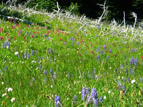
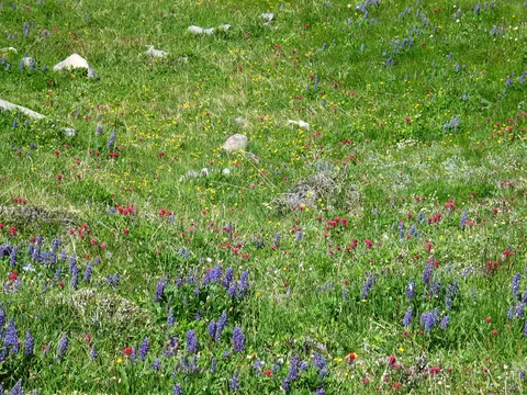
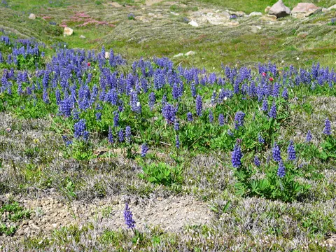
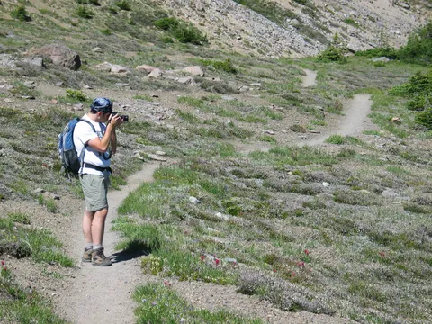
Trail Notes: The Wild flowers are coming out in Berkeley Park and so are the Marmots .  So today Alex, Bonnie and I got an early start on the day leaving Seattle at 6:30.  We were hopeful that we might get some of the early morning light...it is Sunrise after all.

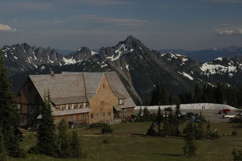
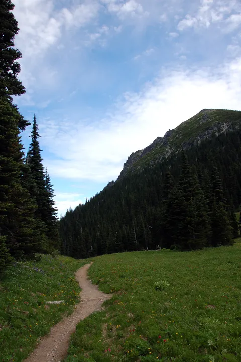
This hike begins as so many do at the Sunrise Visitor center.  One makes their way to the Sourdough Ridge and arrive at Frozen lake in about 30-40 minutes.  From here go straight at the three way junction.  The trail gently descends for about 20 minutes until you are ultimately delivered at another junction.  This second junction either sends the hiker down into Berkeley Park and Grand Park beyond that, or up towards Skyscraper Mountain, and Mystic lake about 5 miles beyond.

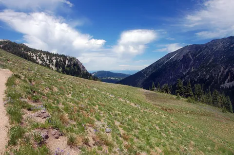
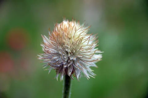
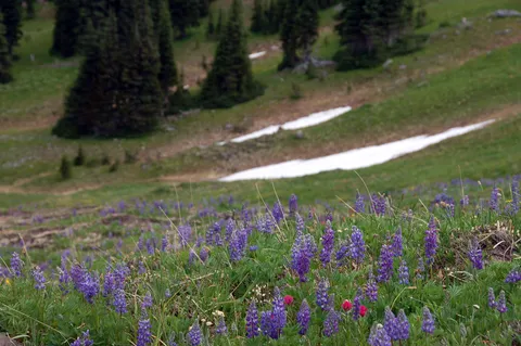
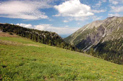
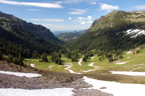
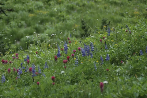
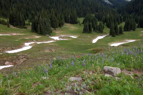
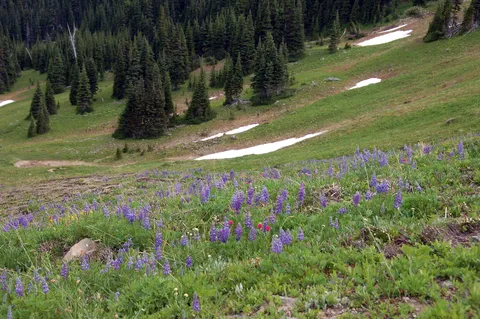
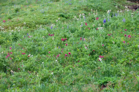
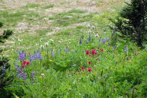
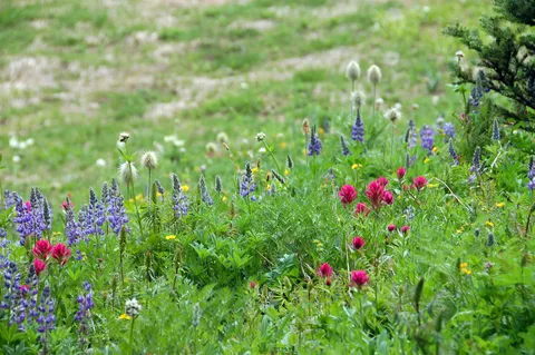
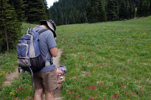
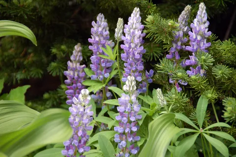
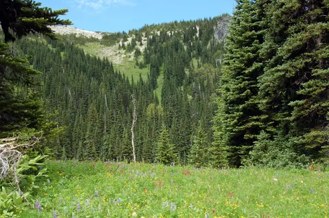
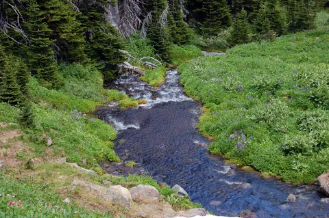
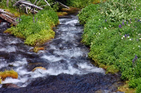
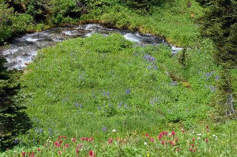
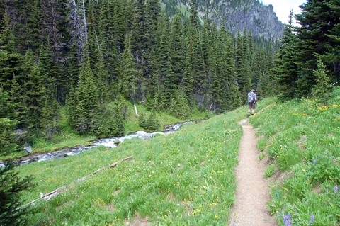
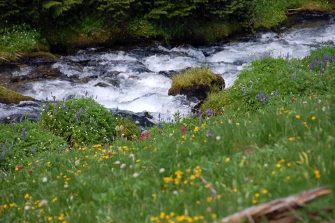
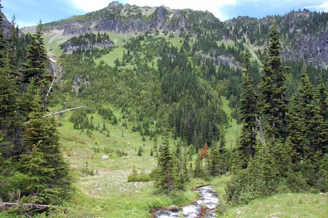
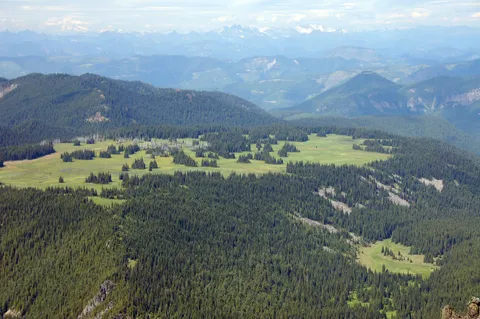
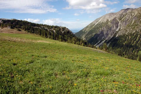
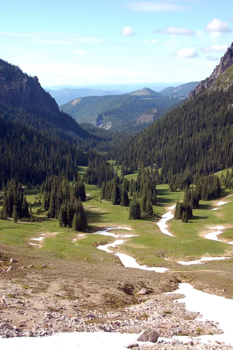
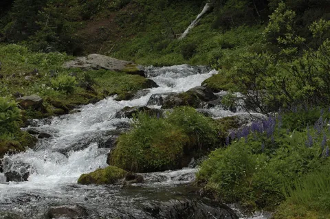
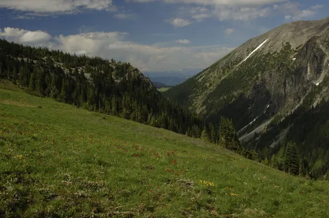
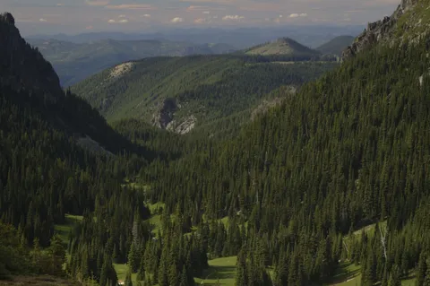
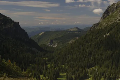
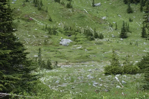
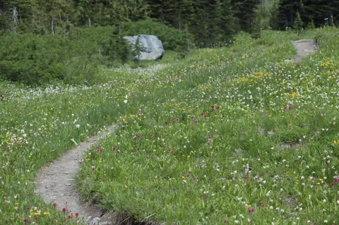
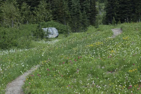
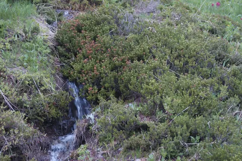
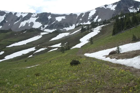
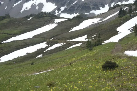
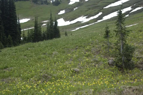
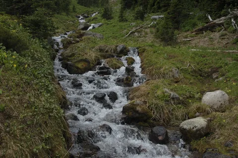
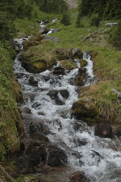
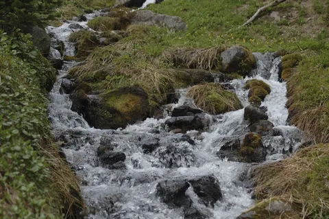
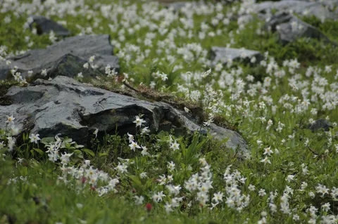
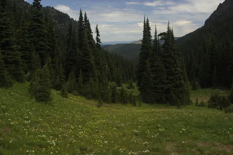
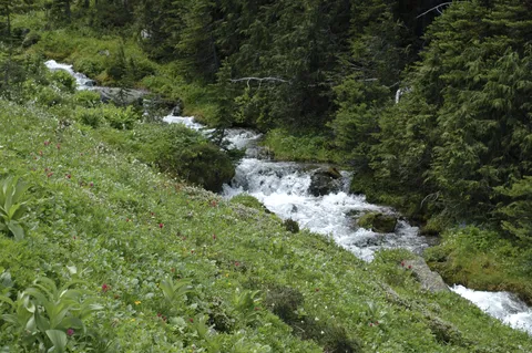
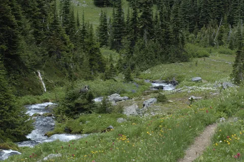
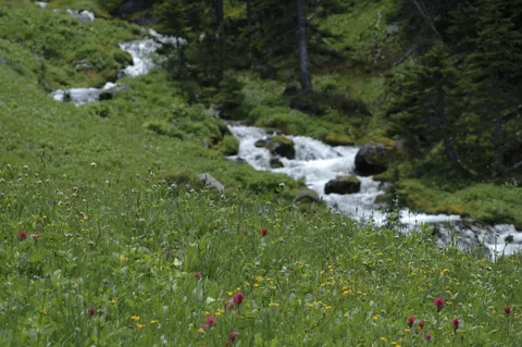
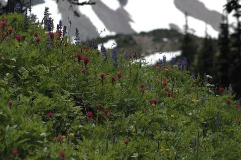
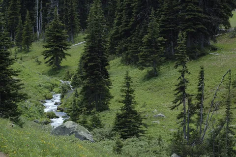
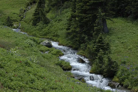
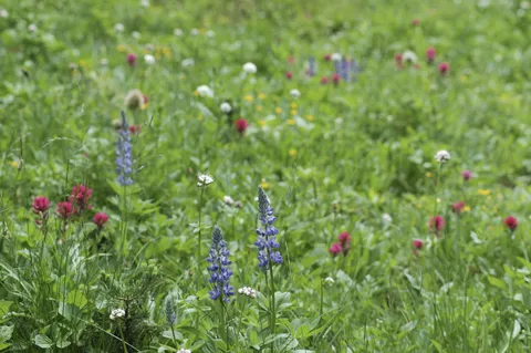
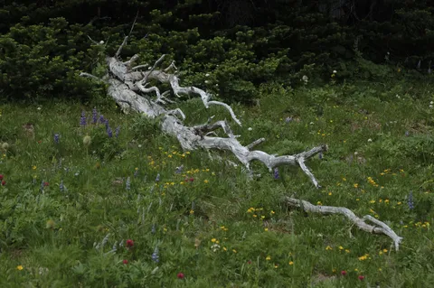
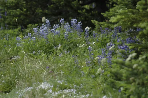
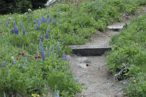
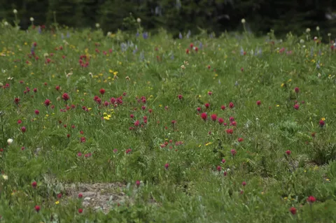
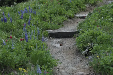
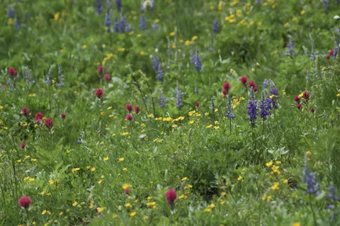
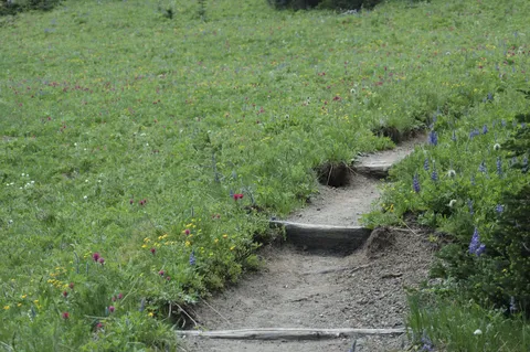
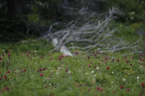
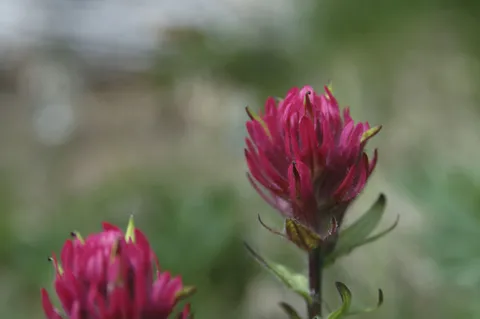
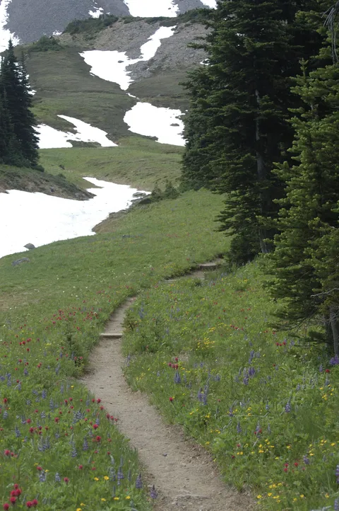
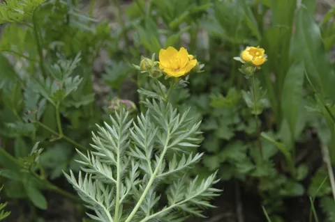
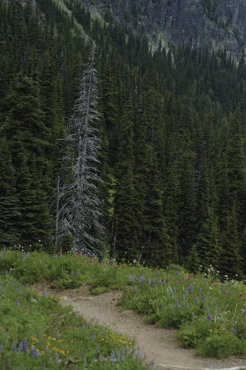
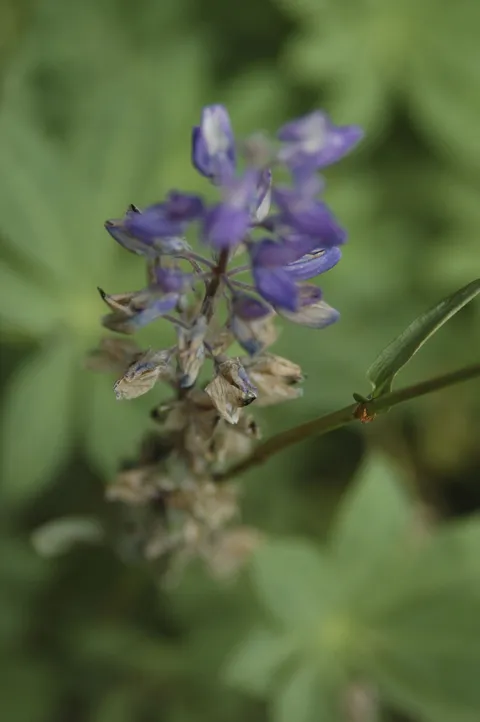
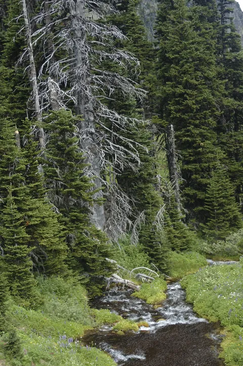
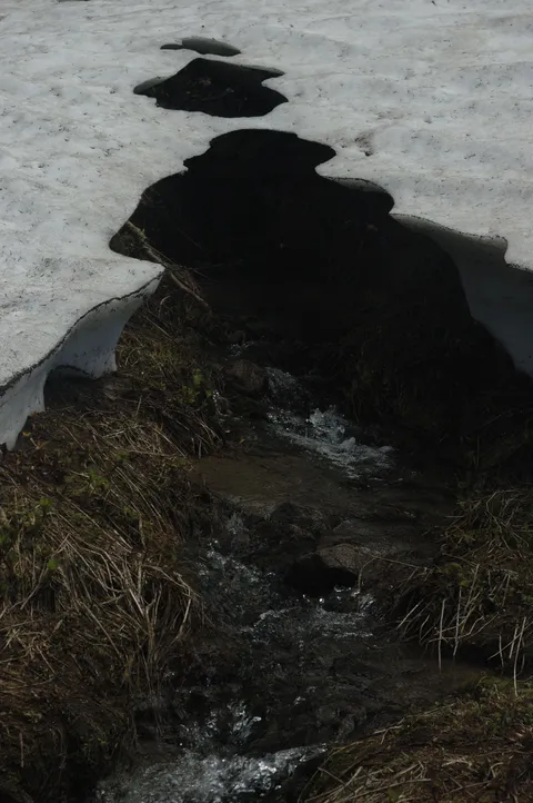
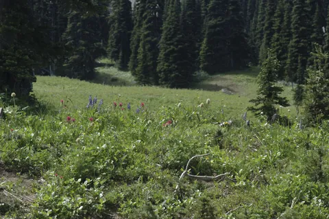
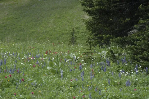
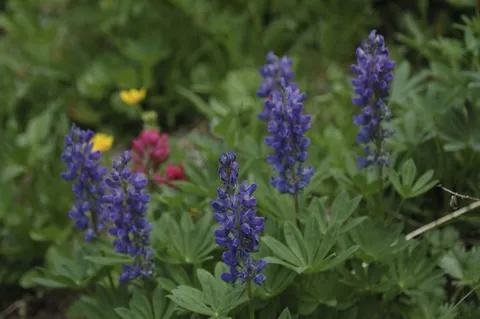
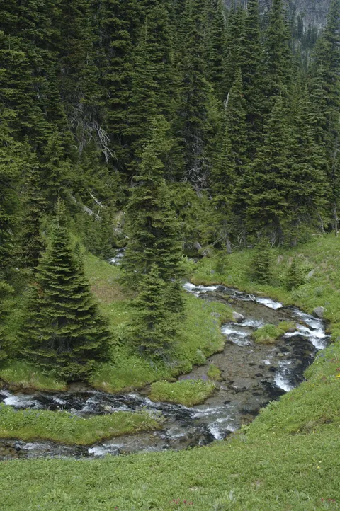
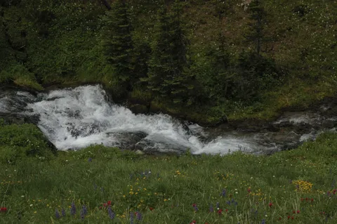
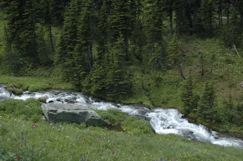
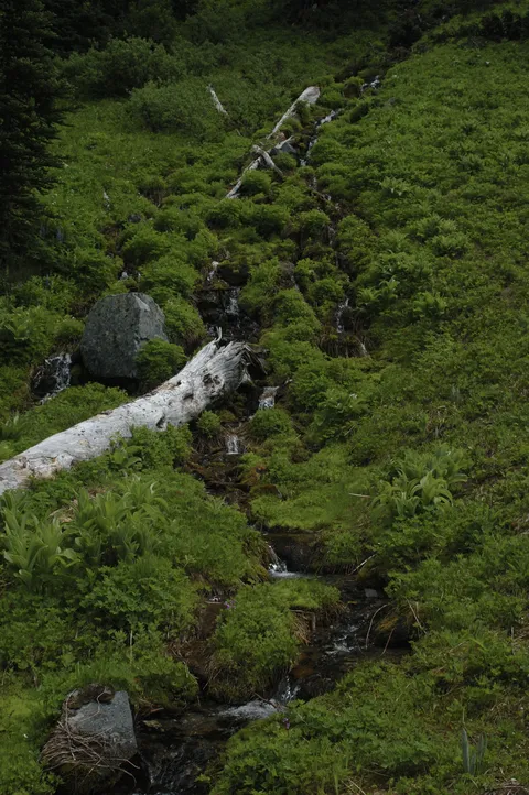
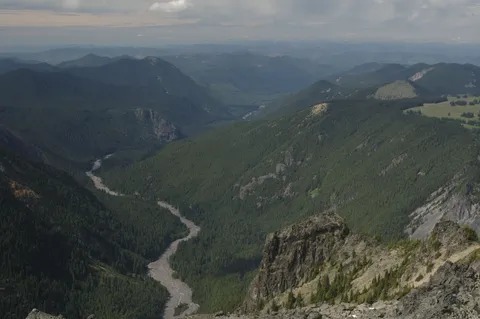
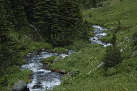
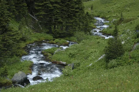
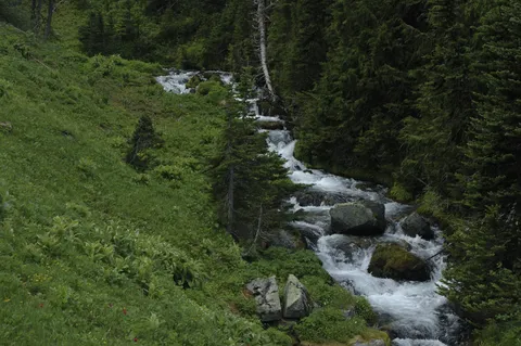
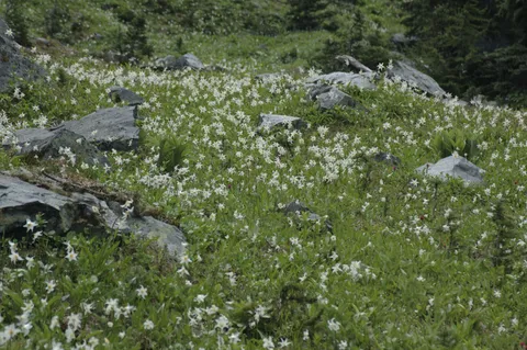
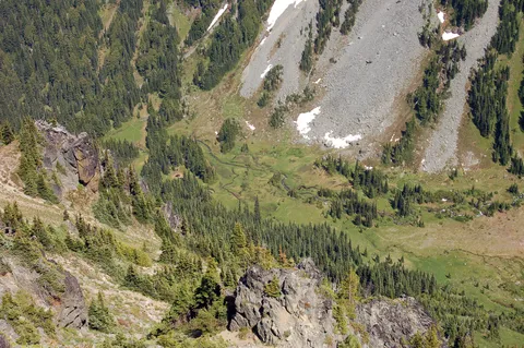
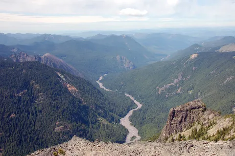
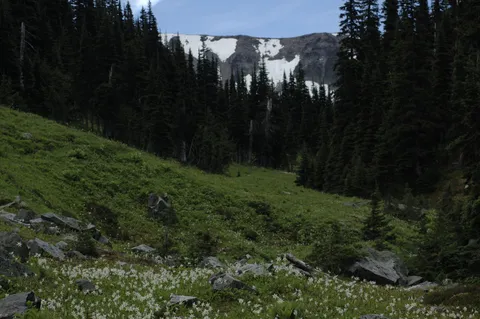
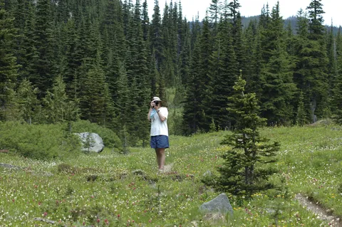
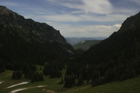
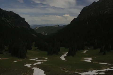
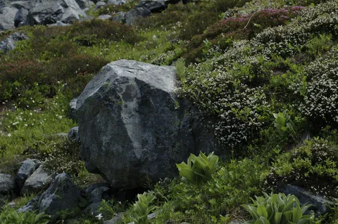
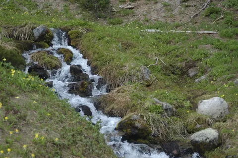
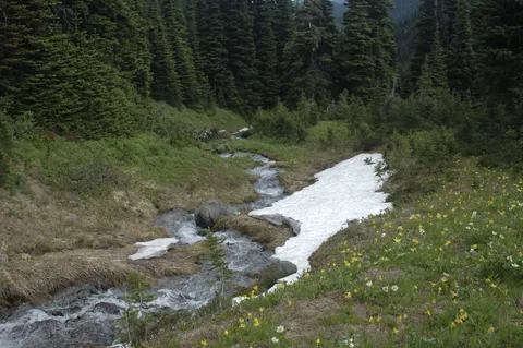
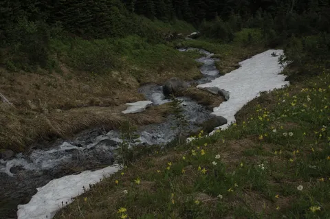
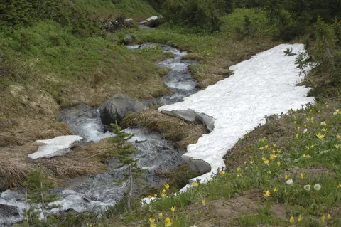
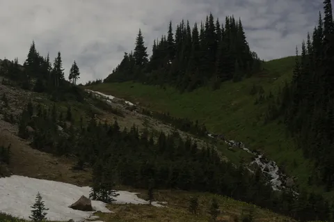
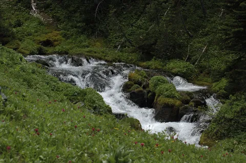
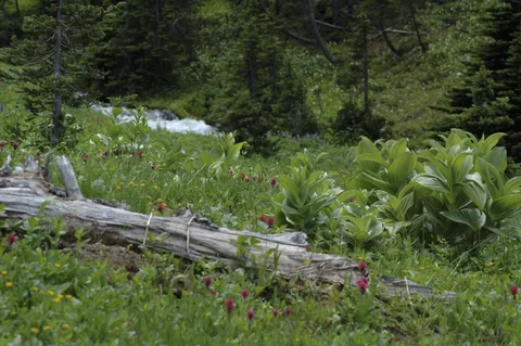
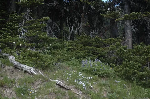
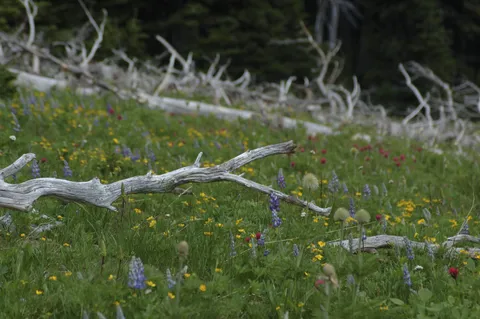
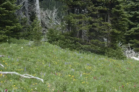
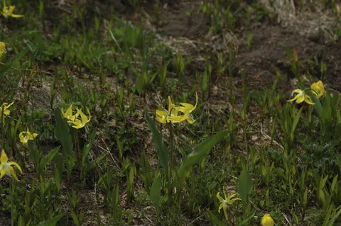
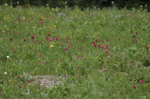
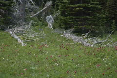
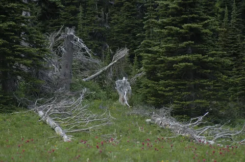
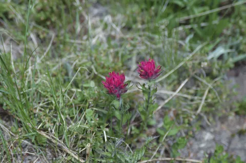
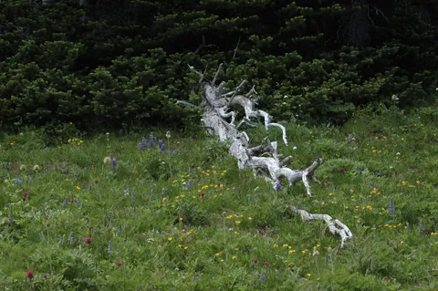
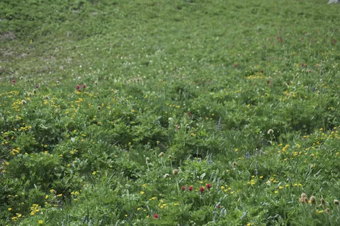
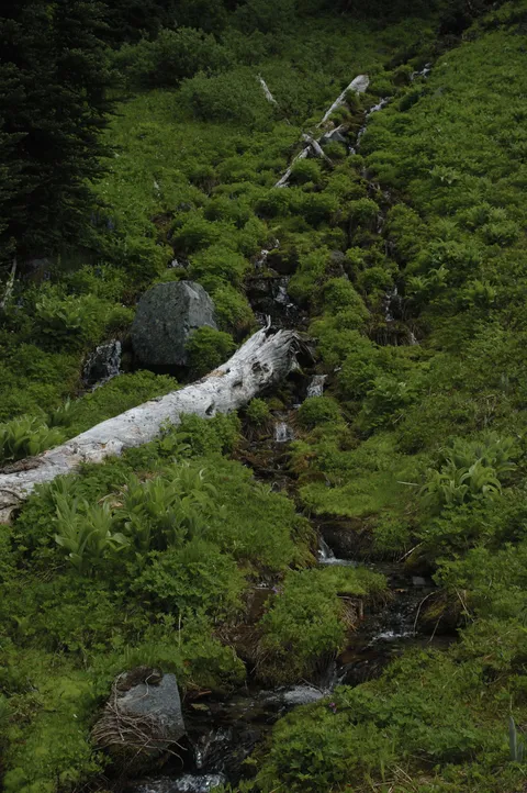
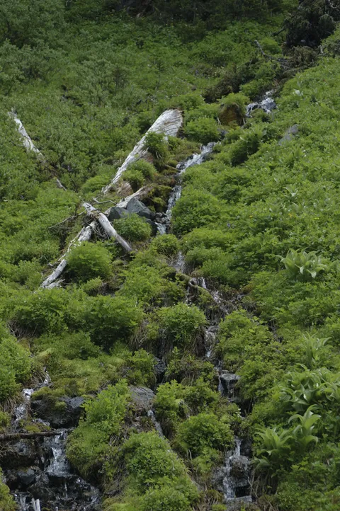
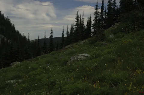
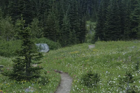
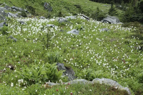
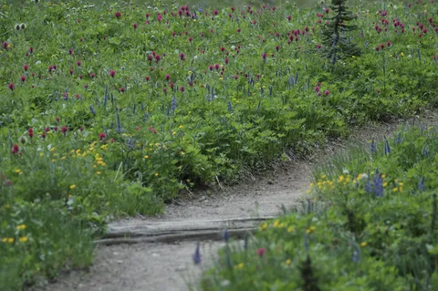
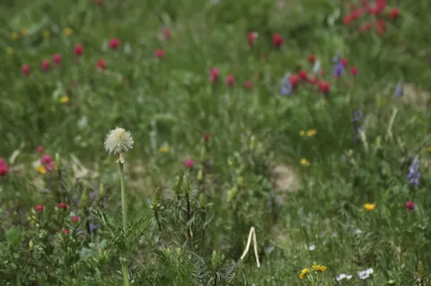
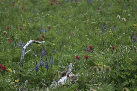
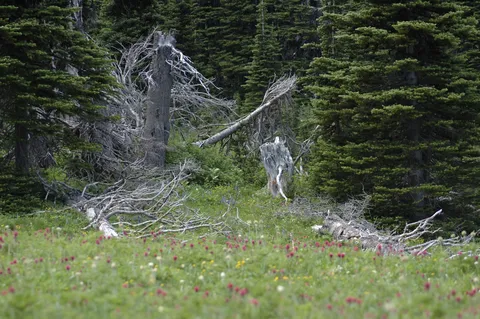
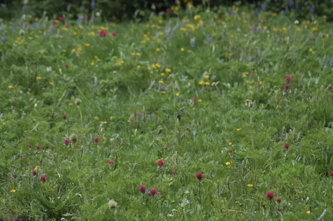
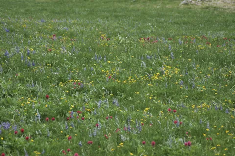
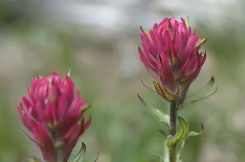
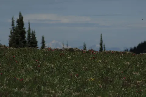
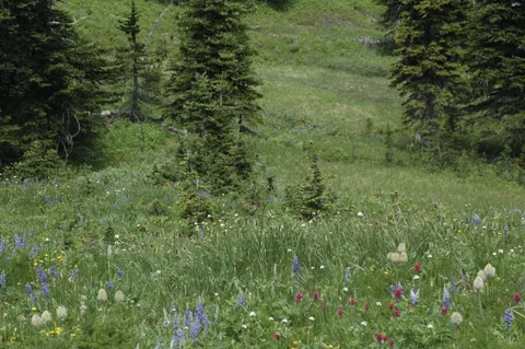
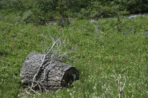
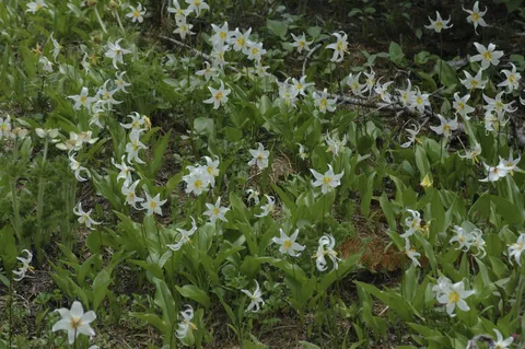
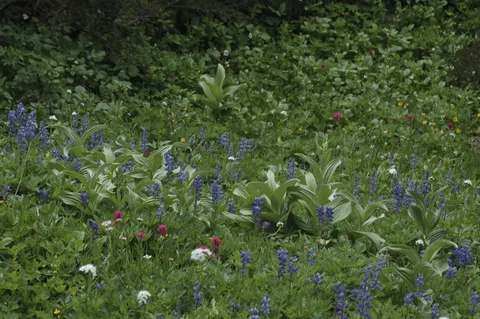
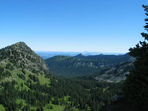
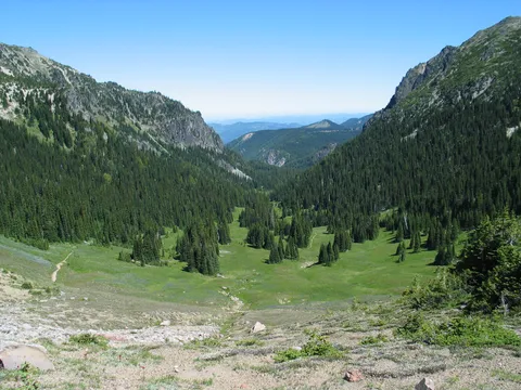
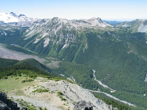
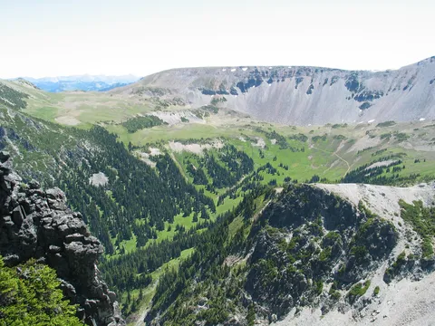
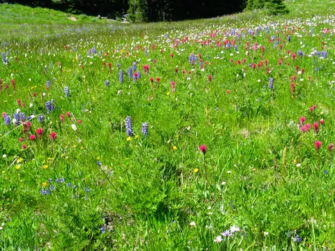
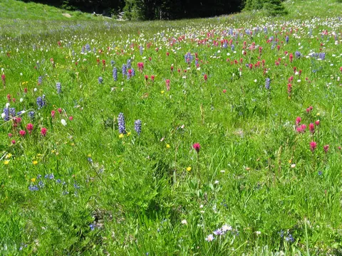
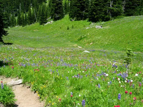
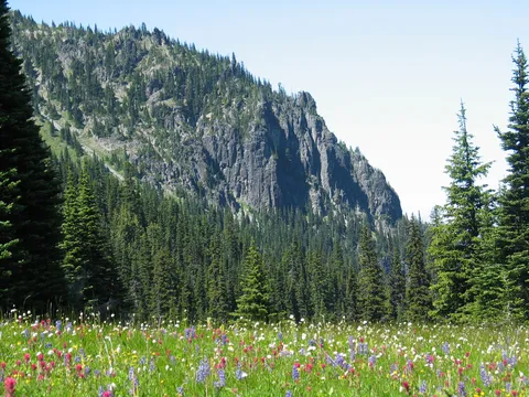
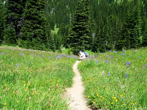
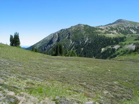
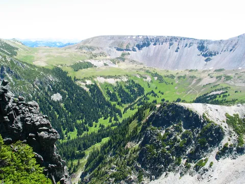
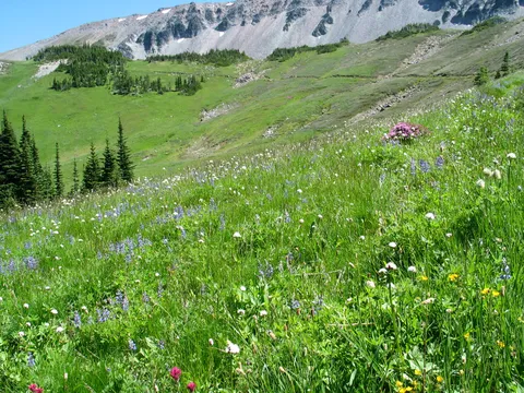
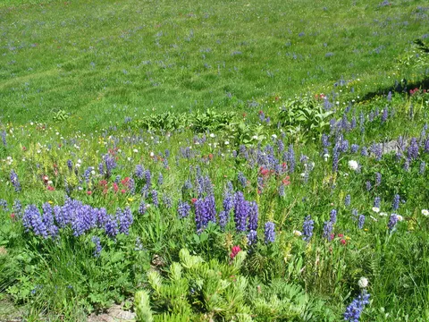
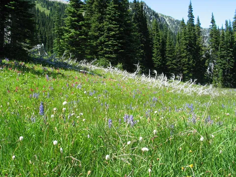
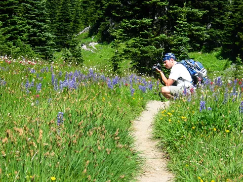
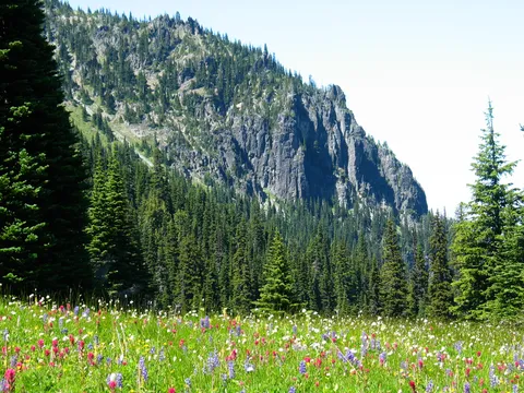
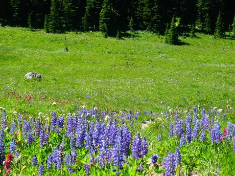
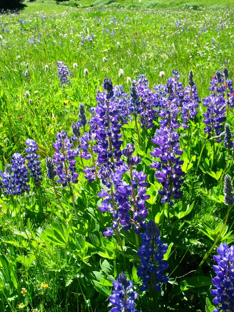
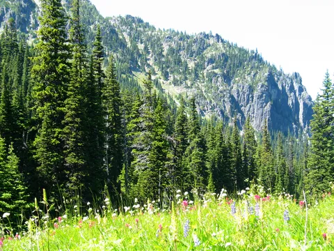
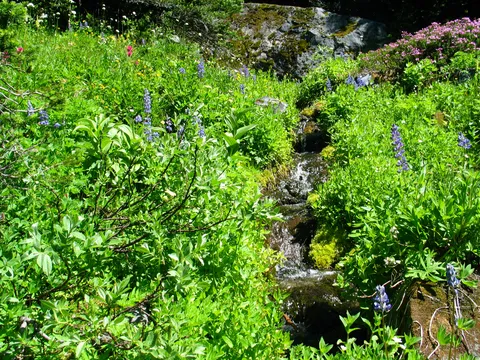
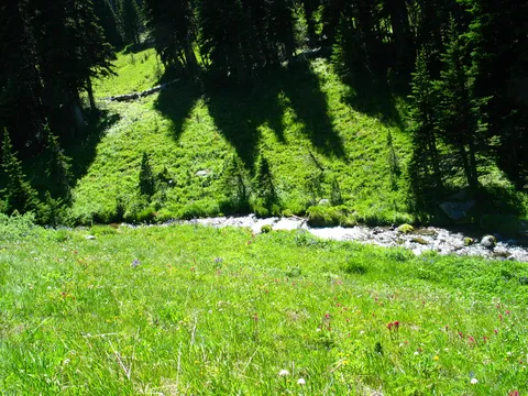
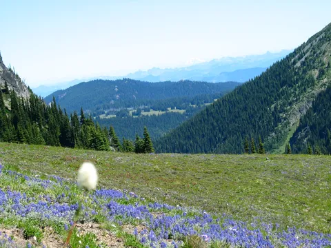
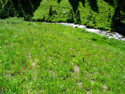
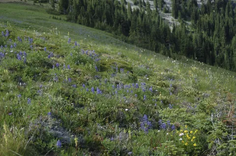
Since wildflowers were high on the list we started off by descending down into Berkeley park.  The wildflowers are just beginning to come out so they are not at their fullest.  However, there are still quite a few wildflowers to demand your attention.  As always with Berkeley Park you should consider your progress thought this area a slow one.  The surroundings are just too nice to rush.  On this day I particularly noticed the Berkeley Park creek - it was flowing fast and juxtaposed with the green surroundings is just beautiful.

We went down Berkeley park which takes maybe 45 minutes to where the creek meets the trail.  Here we stopped, and noticed the mosquito's being sort of aggressive opted to return up Berkeley Park.  Leaving the next destination up to Bonnie the decision was made to go to Skyscraper mountain rather than Fremont Lookout.  Our thinking at the time was that we could hike to the Fremont Lookout on the way back.

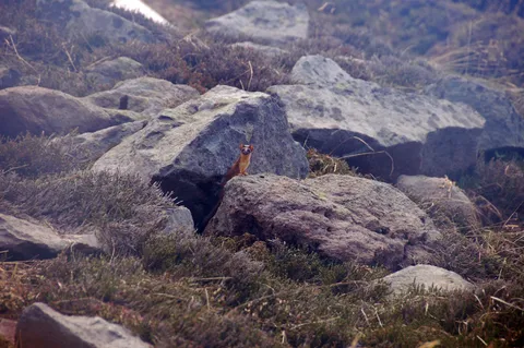
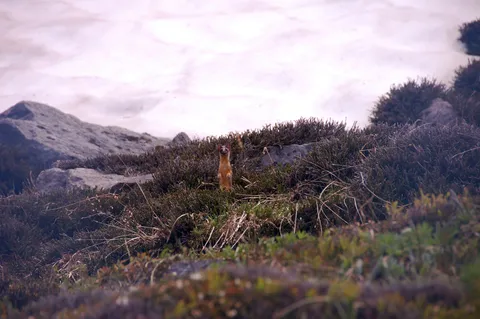
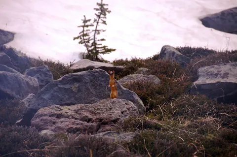
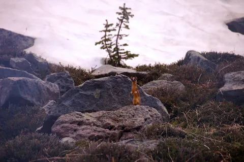
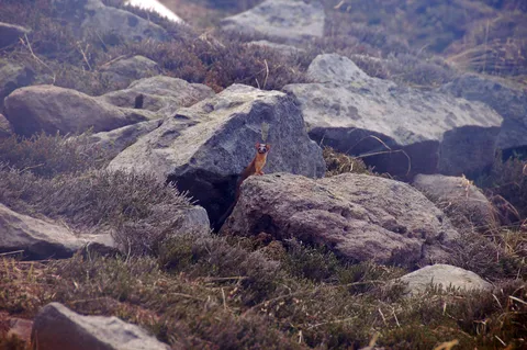
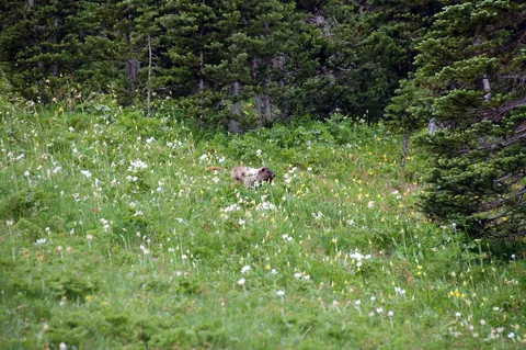
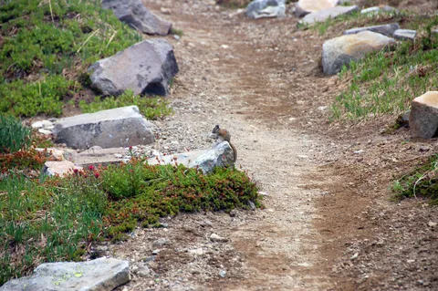
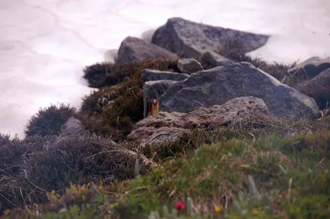
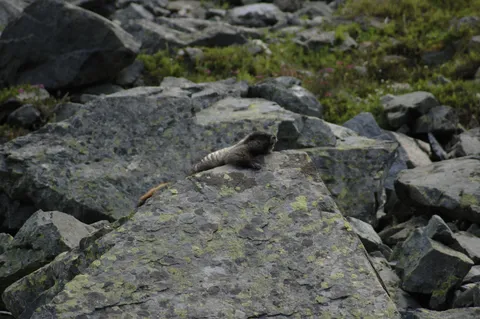
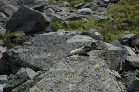
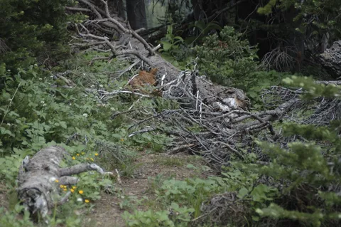
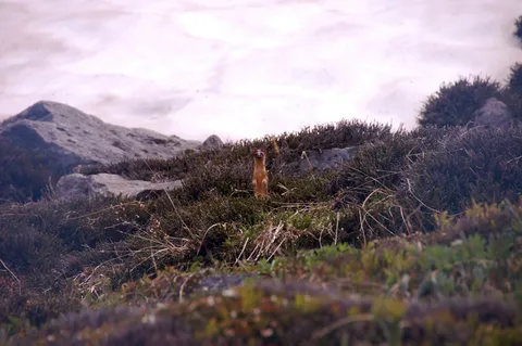
Returning to the junction is quite nice.  On the way back up I spied a Brown Marten running around.  This was the first time I have seen a Marten - a member of the weasel family.  The Marten was rummaging around though the flowers looking for something, but I wasn't quite sure what.  It turns out what it was looking for was some vole or small rodent which I noticed it running off with and even managed to capture on a picture.  Really quite a remarkable experience.

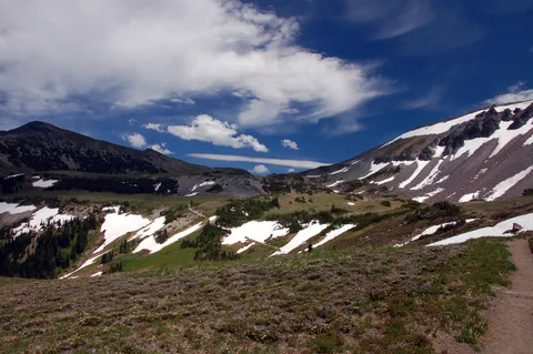
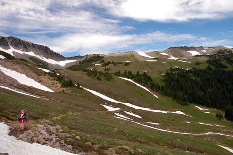
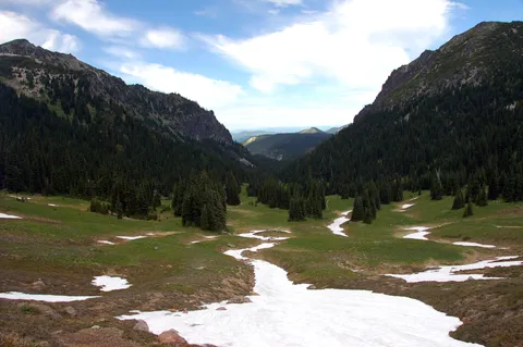
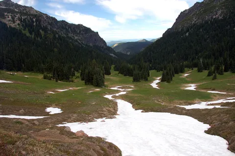
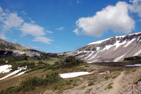
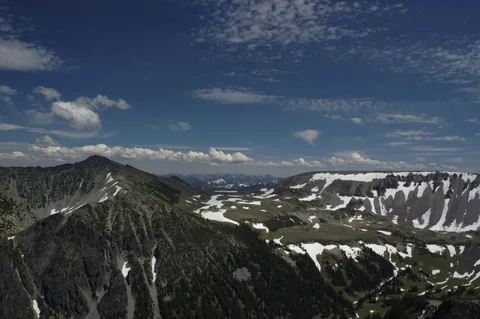
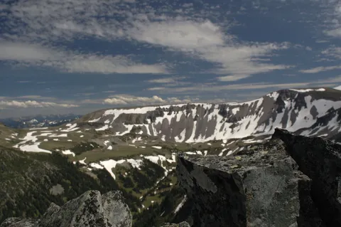
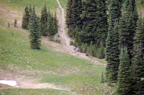
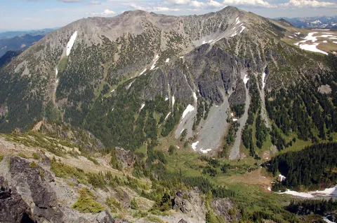
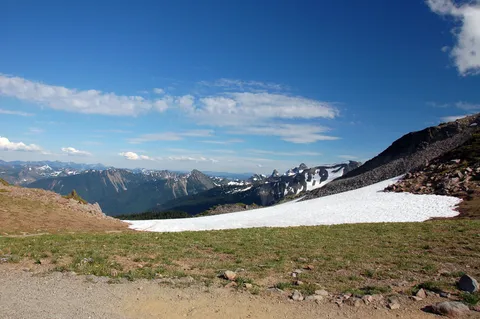
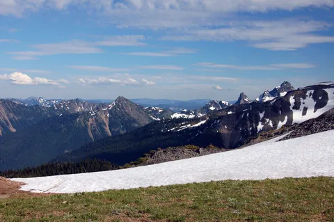
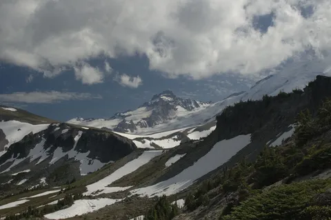
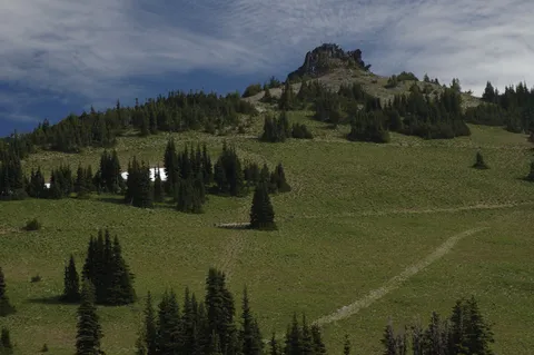
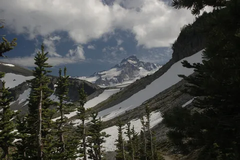
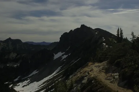
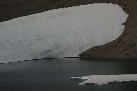
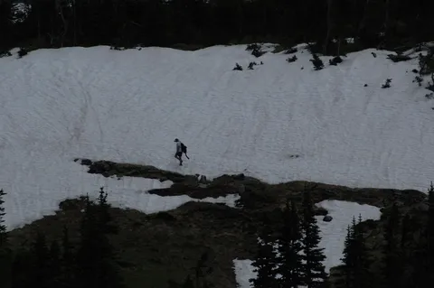
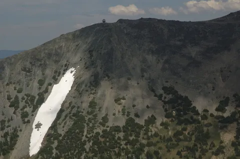
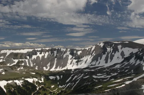
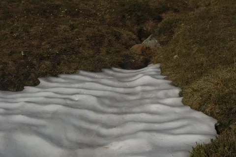
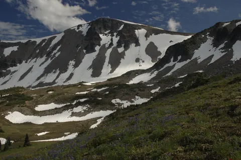
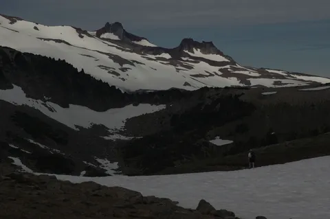
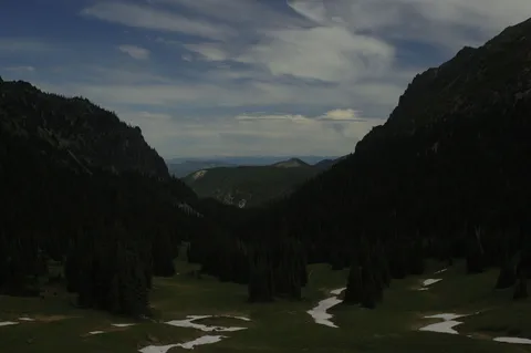
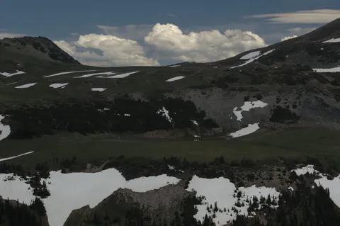
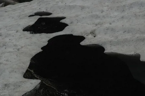
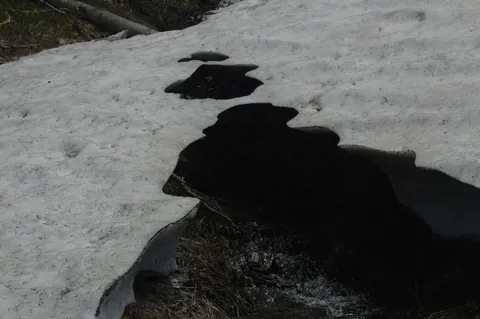
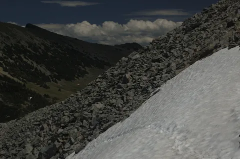
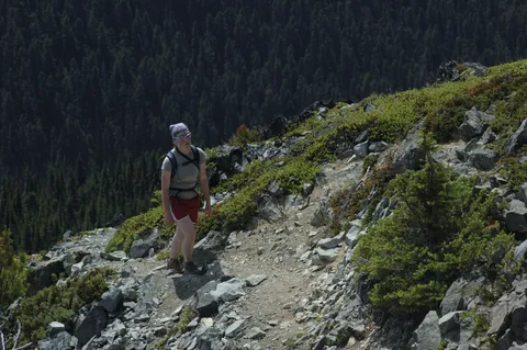
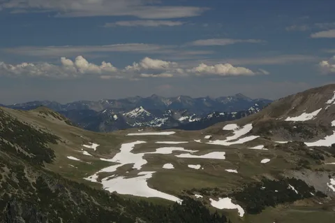
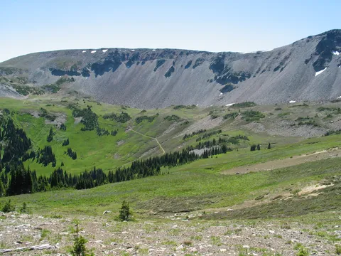
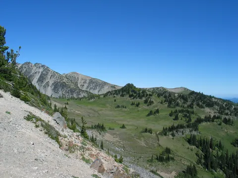
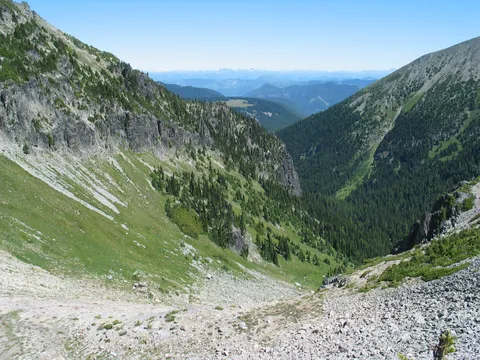
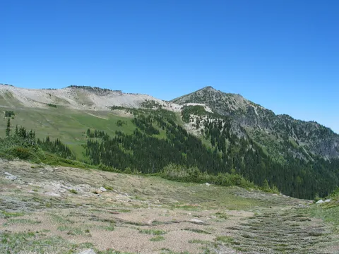
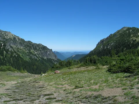
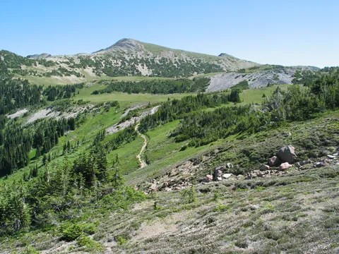
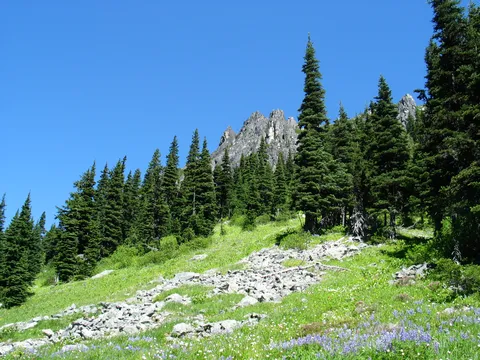
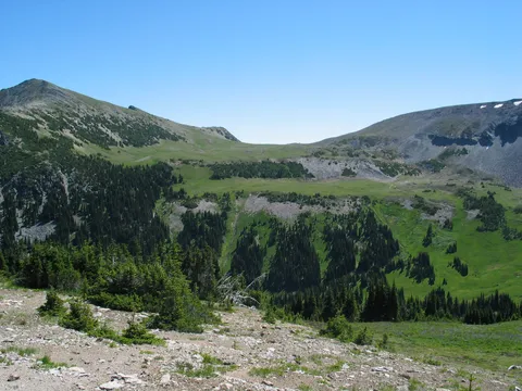
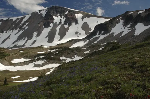
So we returned to the Berkeley Park - Skyscraper junction and started our ascent of the Western wall of  Berkeley park to Skyscraper mountain.  Again I was quite pleased about the grade of the trail, however, several small patches of snow remain on the trail.  The largest of the snow fields is very near the Skyscraper saddle on the north facing slope.  The snow field is about 100 feet across and is on a steep grade.  Make sure you are confident in your footing, carry an ice ax, or choose the rocks above.

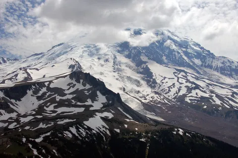
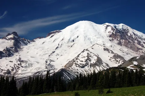
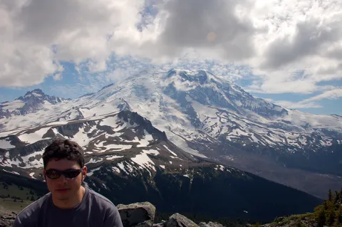
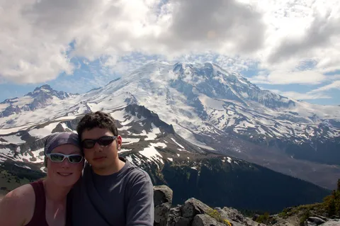
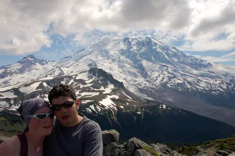
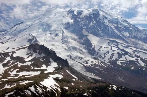
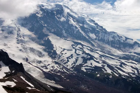
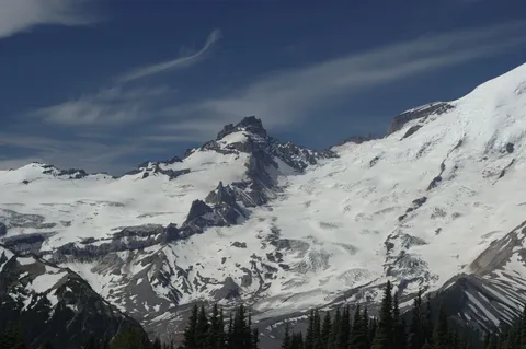
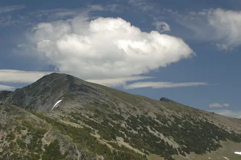
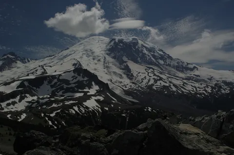
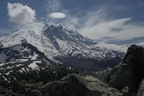
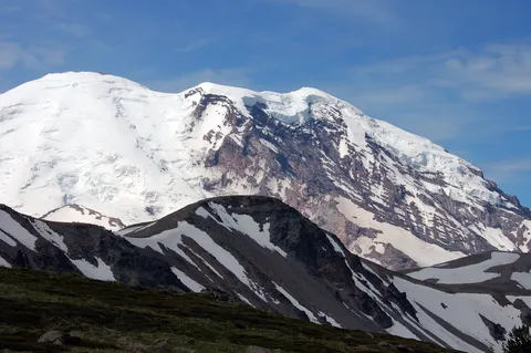
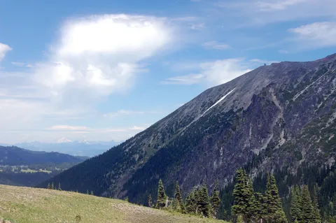
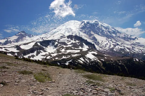
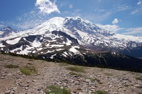
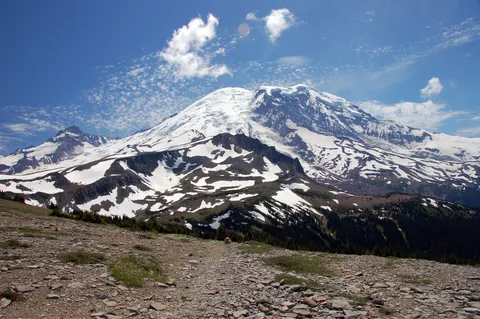
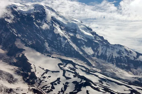
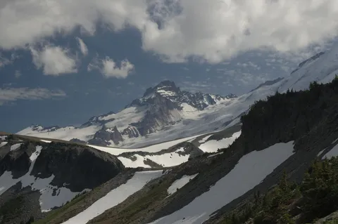
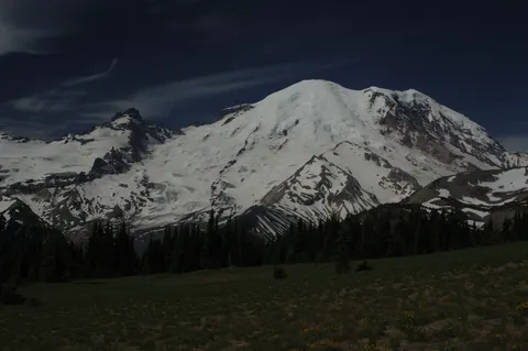
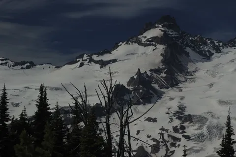
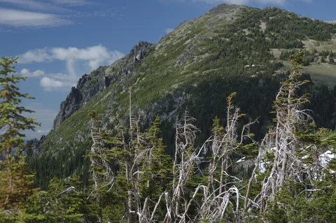
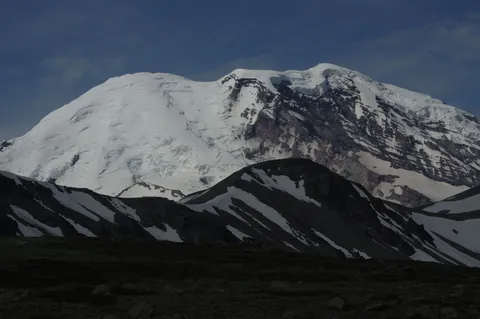
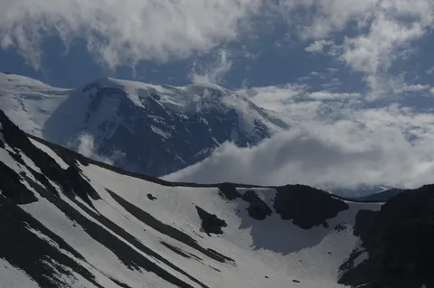
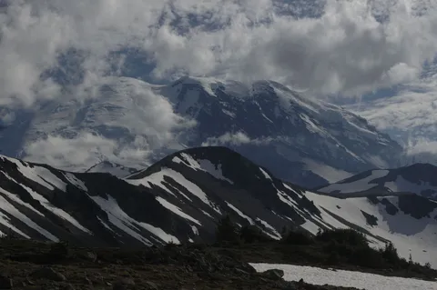
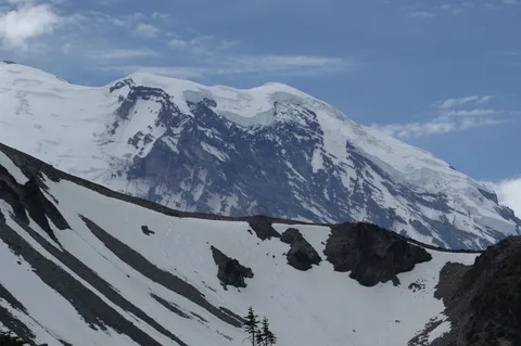
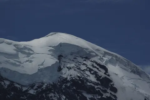
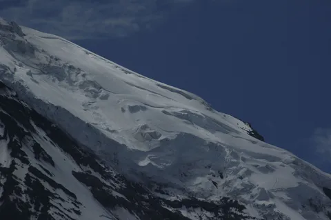
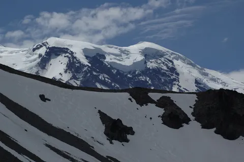
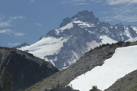
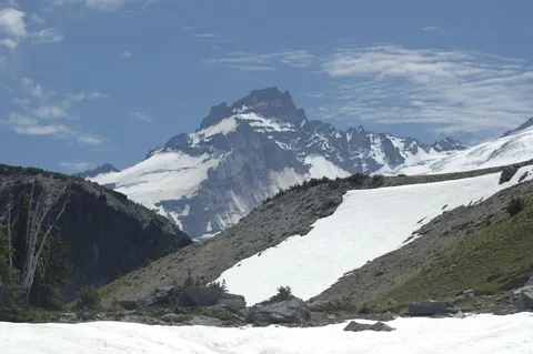
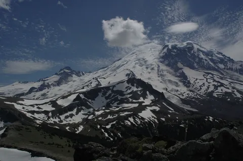
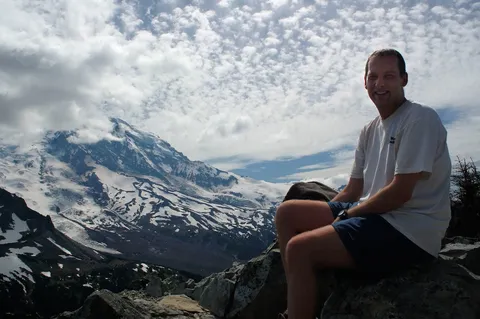
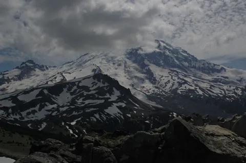
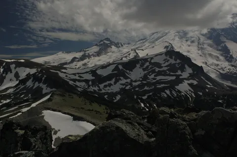
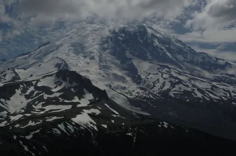
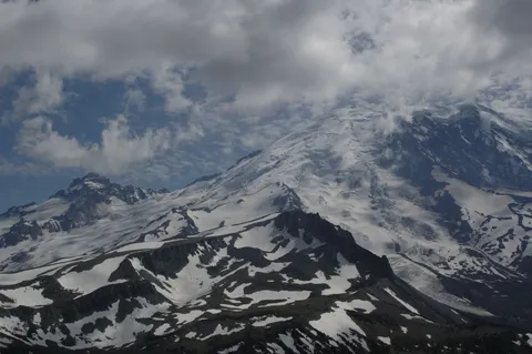
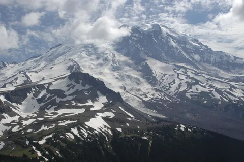
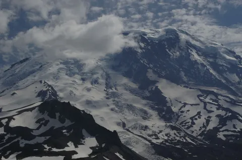
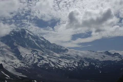
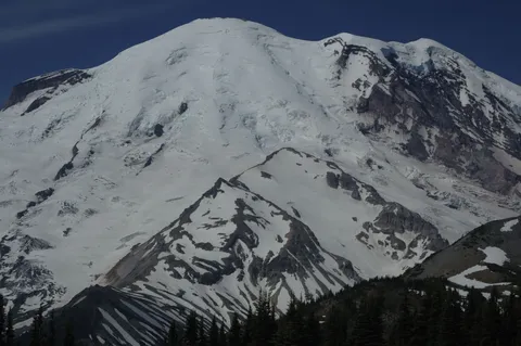
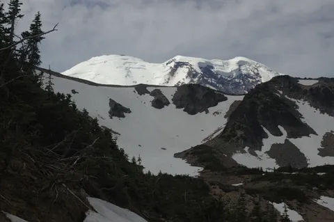
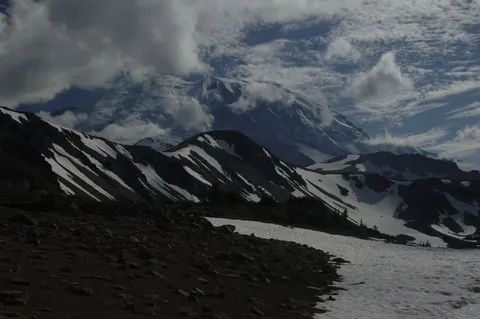
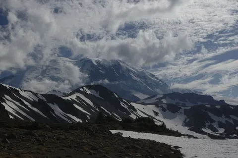
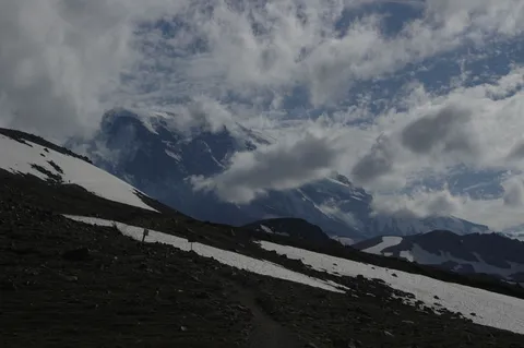
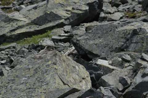
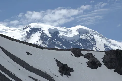
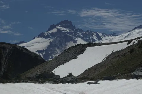
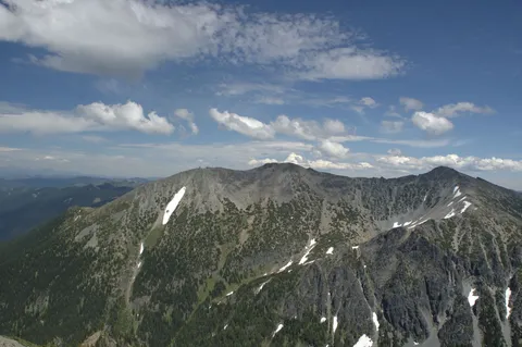
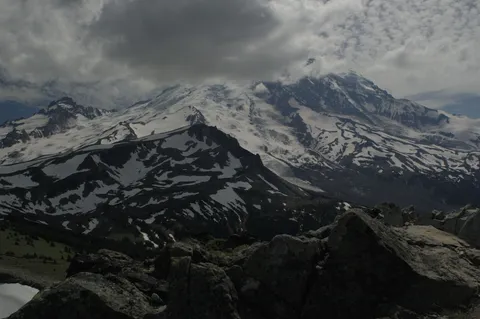
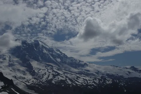
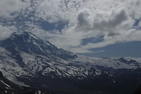
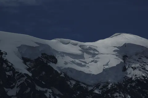
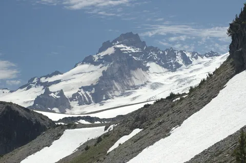
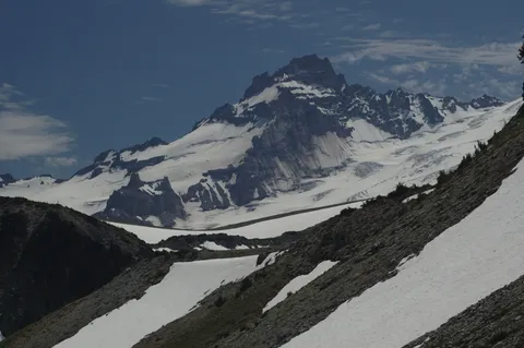
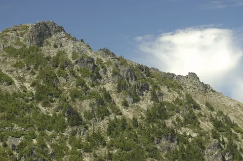
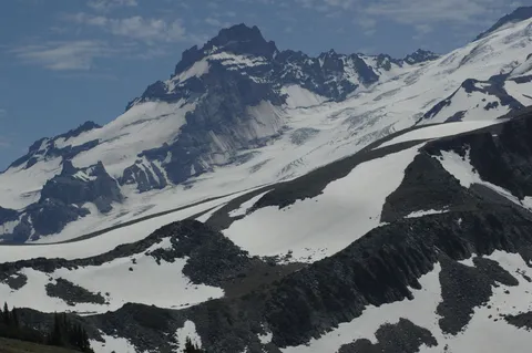
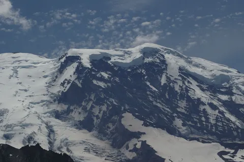
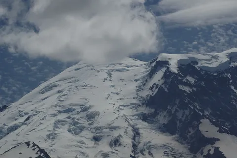
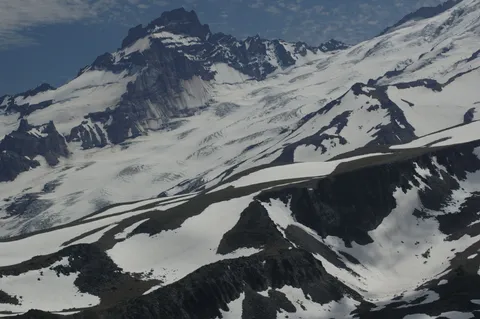
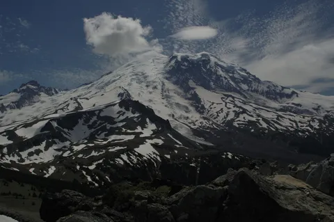
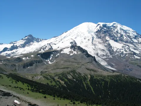
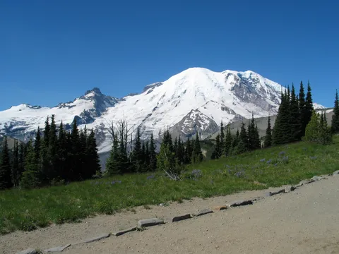
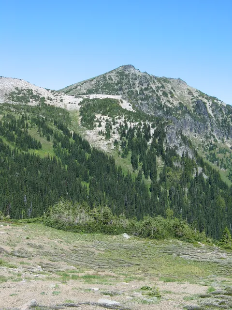
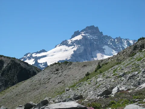
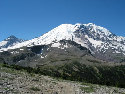
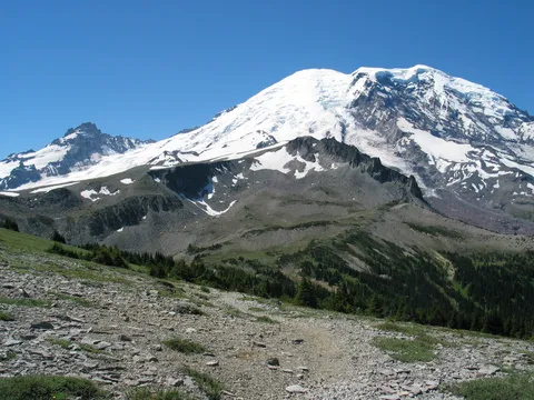
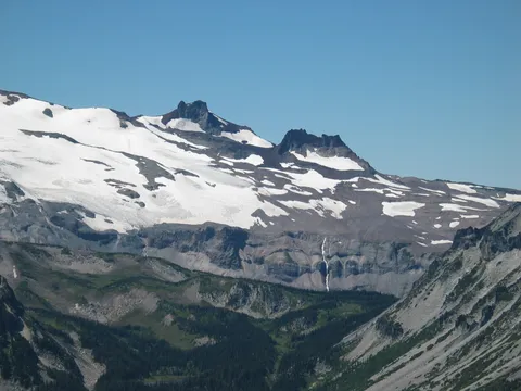
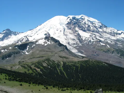
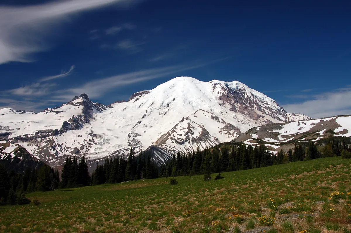
So making our way to Skyscraper saddle it was only natural to go up Skyscraper peak which is pretty steep 20 minutes gaining about 400 feet according to Bonnie.  The trail isn't exactly an maintained trail and there is a lot of loose rocks along the way.  Just watch your step nothing to be worried about.  Getting tired on this rise I stopped several times along the way to take a couple pictures of Mt. Rainier.  Alex on the other hand tried out his new mountain sized legs and lungs shooting to the top straight up Wasatch style.

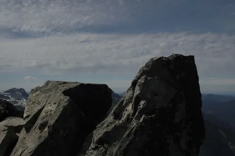
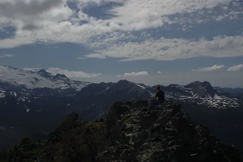
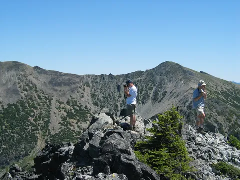
We all arrived at the top finding we had the top all to ourselves.  After a while another fellow showed up and went the western point of the peak.  Next a couple from Yakima showed up with an infant who from the looks of it found Alex to be a very interesting buddy.  We began our return when the screamer lived up to its name.  Even when in the saddle could hear the screaming. 

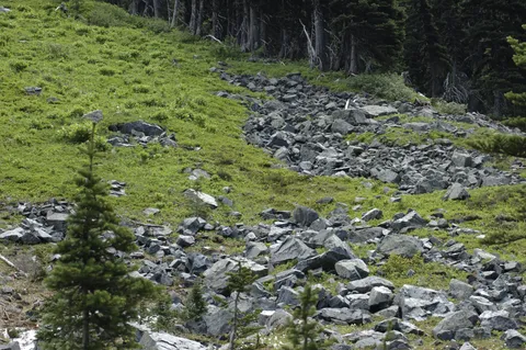
On my return to through the saddle I opted to walk on the rocks above the snow pack while Alex and Bonnie opted to return over the snow.  The rocks were a little trickier than they look being pretty to their angle of repose, and rolling pretty easily.  Guess either way you have to be cautious on this part of the trail.

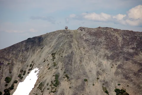
So we again returned to the Berkeley Park junction and  made our way back toward Frozen Lake.  At the junction to Fremont lookout we all kinda decided to leave the Mt. Fremont Lookout for another week...which in fact I just did a couple days later.

Photos 391

Highest rated first
Trip report

July 19, 2005

by John Munyan with alexi
Moderate + 9 hours Verdict: Great
★★★★★ 5.0 out of 5 from 1 vote · log in to vote

Directions: From Enumclaw drive 43 miles east on Highway 410 to the Mount Rainier National Park White River Entrance Station. Follow the Sunrise Road 17 miles to the large parking lot and visitor center at the roads end.

Trail Notes: Every now and again one needs a little respite from work and today was to be that day.  Alex wanted to catch some of the summer glory at Rainier, and since I knew the flowers were near their peak bloom we figured where better to head than up to Sunrise and see what materialized.  We were fortunate to have Cory with us on this trip - he needed the day off perhaps more than either Alex or I.  Our initial plan was to make for Mystic Lake from Sunrise in what we initially had been been led to believe was about 16 miles, in fact this route was closer to 19.

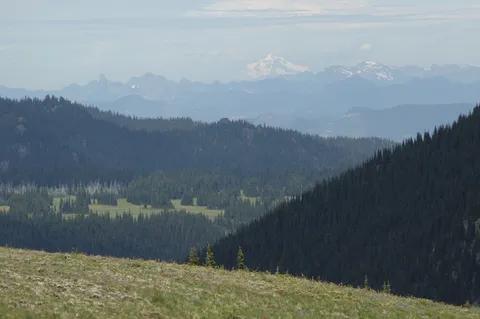
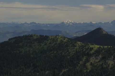
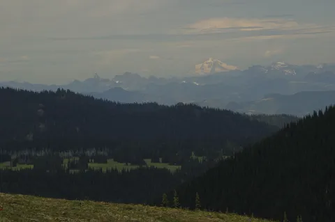
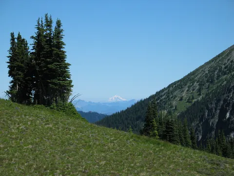
So we started off along the Wonderland loop from Sunrise heading West.  The first hour or so Frozen Lake (the source for drinking water at Sunrise) is quite easy and gives the legs time to shake out.  From here we began the gentle decent down towards the junction with the Berkeley Park trail with dream of furry Marmots in our heads - well mine at least .  Sad to say it, the Marmots were few an far between on this trip, and I narry spied a single one en route to the junction.  From the junction the trail up towards Skyscraper pass seems a tad forboding, but in truth the trail grade is quite pleasent.  As one makes their way up the Westerly ridge views back at Rainier can be glimpsed as can views of Glacier Peak to the North.

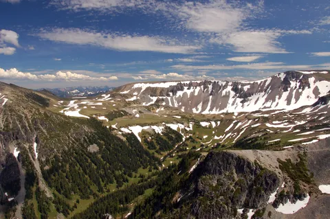
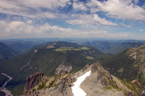
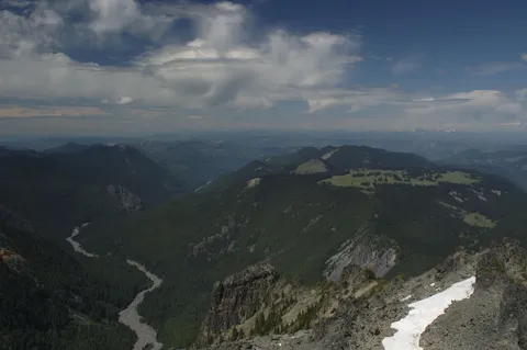
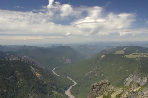
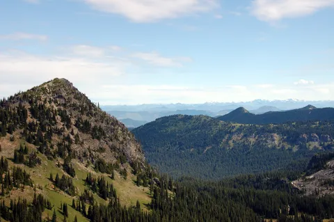
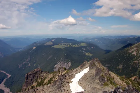
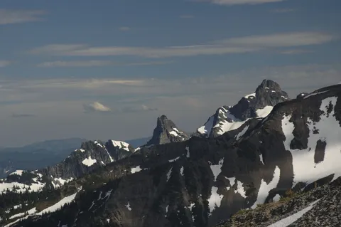
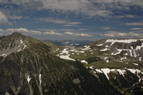
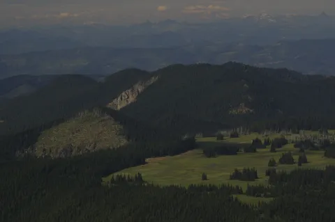
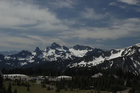
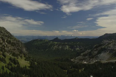
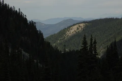
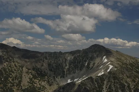
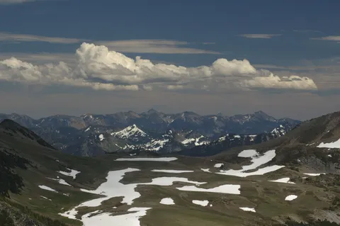
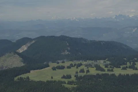
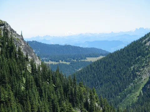
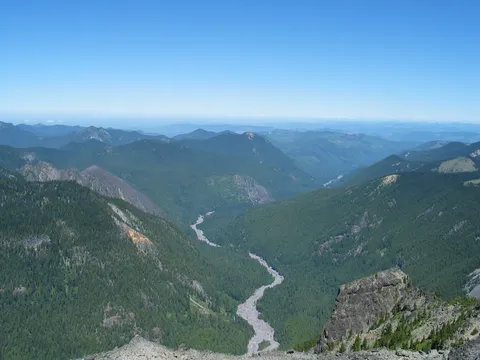
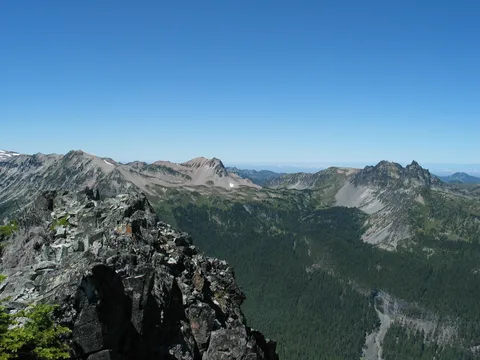
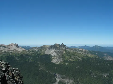
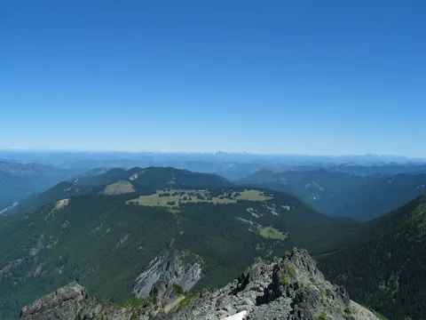
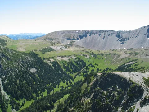
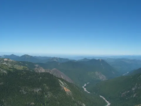
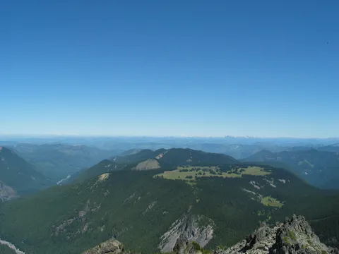
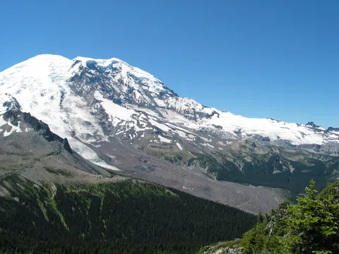
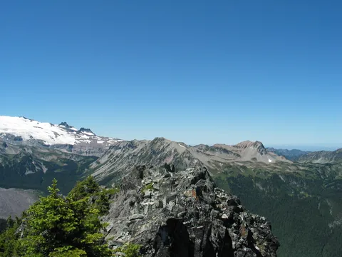
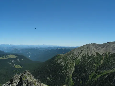
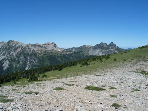
Upon reaching the Skyscraper ridge saddle we could see Mystic Lake off in the distance, but at the same time were hankering to get to the top of Skyscraper Moutain.  So we decided to 'first' do Skyscraper Mtn which at this point isn't so much a mountain as a 10-15 minute uphill jaunt.  The trail itself is not very developed made up of loose skree, but the going isn't long.  The views from the top however are just super with a 3600 view of the surroundings including Rainier (now that you are up above everything, and down in Berkeley Park.  Also, one can look over and see Echo and Observation Rocks in the distance as well as Mystic lake.  Though the coolest view , the one I was most impressed with was of Grand Park which appears to be absolutely level from here as if some huuuuge force just clipping the top of it - as flat as a table

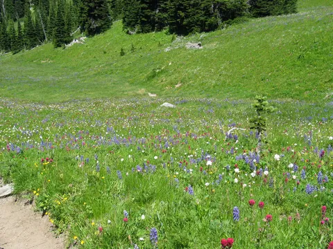
The views towards Mystic Lake didn't seem to indicate there were any valleys on par with Berkeley Park; and that coupled with the distance led us to abandon Mystic lake as a destination and instead retrace our steps to the junction with the Berkeley Park trail.  From here the decent into Berkeley Park was slow, as the wildflowers became richer and richer.  This of all places I have been has the richest flowers - just super.  We spend another hour or so working our way down through the valley ultimately having lunch near the base of Skysraper Mountain.

Then alas it was time to return back to the banality of normal life.  On our return we spiced things up by taking the trail around Shadow Lake to see what was new down there.  In the past I have seen Moutain Goats here, but today we weren't so lucky.  In the end we made it back to Sunrise around 6 and were to my surprise able to get some ice cream   A very nice way to end an excellent fun filled day!

Photos 61

Highest rated first
Reviews 2

Skyscraper Mt.

★★★★☆
Milt · Sep 23, 2010 · Moderate

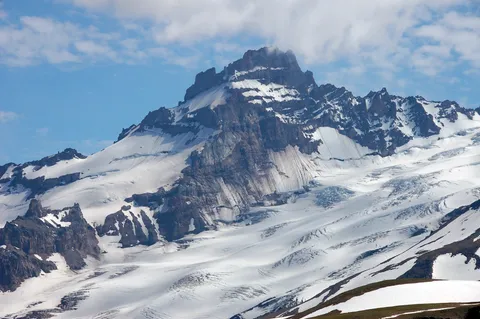
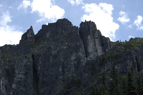
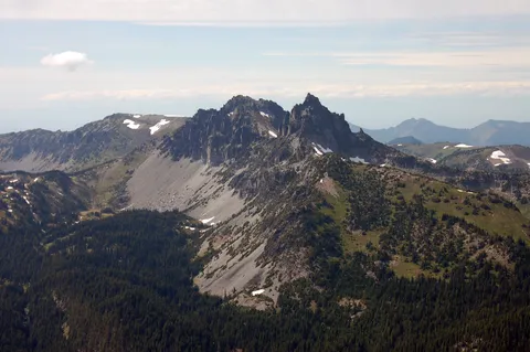
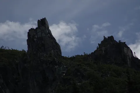
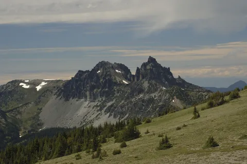
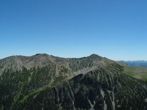
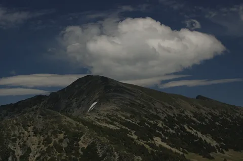
We did the Berkeley Park trail to get ready for a Mt. St.Helens climb. On the way to Berkeley, we noticed a peak high above which we found out later was Skyscraper. The maps that the park hands out show Skyscraper, but no trail to it. After reading about a Skyscraper trail in a couple of Rainier trail books, we thought we would give it a go. Head out to Frozen Lake from Sunrise. Start heading west towards Berkeley Park & Mystic Lake. A short hike later, you will see Skyscraper. It's the mountain with a near perfect 45-ish degree slope on one side.  Keep going west past the Berkeley Park turn off. The trail sort of makes an arc through a valley and back up to the other side. The trail then climbs a bit and then turns sharply to the south. This is where you make the turn off to Skyscraper. There is no trail sign here. You just start heading towards the mountain over a bunch of flat rocks. You will then see an unmaintained trail to the top. At the top, it's a great 360 view. Berkeley Park is below, the Mt. Fremont lookout is to the east and of course, Rainier is front and center. This is a great day hike.
Skyscraper Mountain

★★★★☆
Glenn · Jul 31, 2006 · Moderate +

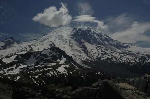
Completed this hike on 31 July 2006.  Seeking a 7.0 +/- mile dayhike that will challenge your hamstrings and test your sensitivity to vertigo while rewarding you with a 360 degree view that captures the essence of The Who's musical lyrics "...I can see for miles and miles..."?  If you nodded affirmative, then consider a dayhike from Sunrise to the top of Skyscraper Mountain.  After verifying with the White River Ranger Station that this was a legitimate hike, I started from Sunrise (6,408 feet) where the temperature at 0930 this late July morning was a balmy 41 degrees.  The trail from Sunrise, up the hill to the Sourdough Trail, then to Frozen Lake was unremarkable other then it peaked at about 6,809 feet and provided some great views of Mount Rainier and the surrounding area.  As you approach Frozen Lake, you'll see Skyscraper Mountain looming in the distance.  Once you pass the trail junction at Frozen Lake, follow the signs to the Wonderland Trail and Mystic Lake.  The trail remains decent--hardpacked dirt with rocks and no snow on the trail.  The Burroughs towers off to the left and today, I could actually hear the conversation of hikers on the Burroughs trail easily a 1/2 mile away.  At about the 2.8 mile point, or about 1.5 miles beyond Frozen Lake, you pass two small creeks (6,303 feet), the only water source on this route.  After passing the creeks, there's a steady 1/2 mile climb to Skyscraper Pass (6,729 feet).  Once at the pass, the 1/4 mile trail to the top of Skyscraper Mountain is visible.  Although only about a 1/4 mile to the top, it is steep in a few places and has several switchbacks.  The trail is primarily loose rock/shale so good hiking footwear and a pole is beneficial.  The final 100 feet to the top warrants caution since it does edge close to a vertical drop off towards Berkeley Park below (I went slowly and grabbed some rocks just to be on the safe side, although visions of the novel "Into Thin Air" did cross my thoughts--but I'm just a cautious hiker).  The Skyscraper Mountain top (7,078 feet feet) has sufficient room for 6-8 hikers and is bowl shaped with several large rocks suitable for sitting.  It was alittle windy today at the top and not for anyone who has a true fear of heights.  Still, it's a great spot for lunch.  But the real reason you made this hike is the 360 degree view.  To the south is Mount Rainier towering above you in all it's glory.  To the north, you can easily view Grand Park and Cascade mountains 20-30 miles distant.  If you gaze east, you can see Mount Fremont and the fire lookout structure.  Finally, a view to the west will reveal Mineral Mountain and several other peaks.  At least for a moment, you are on top of the world, or at least as close as you can get at 7,078 feet.  I followed the same route on my return to Sunrise, where I arrived at 1400 (and the temperature was 57 degrees).  Although I saw only a handful of hikers on my way out, it was busier on the return trip.  Backcountry hikers either heading to Mystic Lake or Sunrise and many dayhikers between Sunrise and Frozen Lake.  Bugs were not a problem today, probably due to the cool weather and a light breeze.  Critters--saw 4-5 well fed marmots and a platoon of ground chipmunks.  Since this trail is fully exposed to the sun, bring some sunscreen along with your camera and binoculars.  I would categorize this dayhike as moderately difficult.  I'd leave young children at home and not invite my friends who believe bowling is the ultimate cardio-vascular activity.  Finally, if you are uncomfortable with heights, and 7,000+ feet can make one uncomfortable, stay at Skyscraper Pass for lunch.  Happy Trails!

Log in or sign up to write a review.