
Shriner Peak

4.8 out of 5, (10) Mt. Rainier National Park, WA Moderate 1 trip report · 100 photos
Round trip
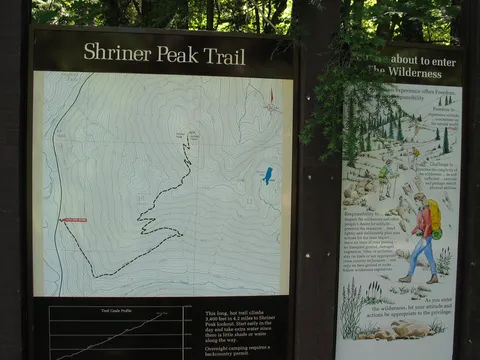
9 mi
Elevation gain
3,400 ft
High point
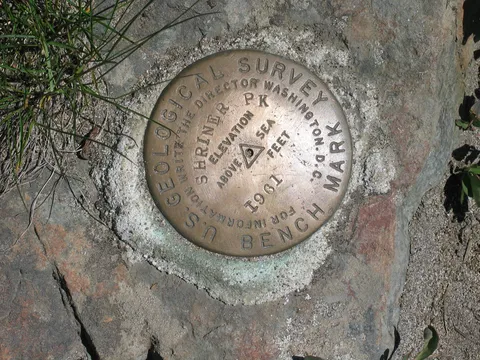
5,834 ft
Difficulty
Moderate
Season
May – Nov
Pass
None
Dogs
No usually
Trip report

July 4, 2004

Moderate 5 hours Verdict: Great
★★★★★ 4.8 out of 5 from 10 votes · log in to vote

Directions: From Seattle take Interstate 5 South to 405 North. Take 405 North to the Highway 167 South. Go about 20 miles South, go east on Highway 410. Follow 410 through Bonney Lake, Buckley and Enumclaw up for about 60 miles. Go past the Sunrise turn off contine straight until there is a Y in the road, one part going over Chinook pass. Take the other road, down driving along about 6 miles. Look carefully on the left for the trail. If you later in the day there will be cars. If you miss the parking just go down the road 1/4 mile; there is a turn around.

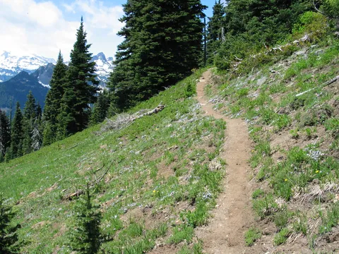
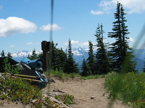
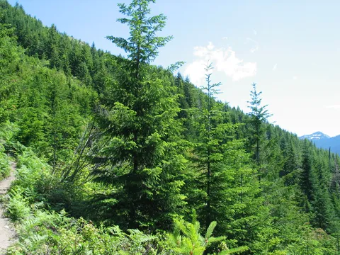
Trail notes: This hike it super! Mad props need to be given to the Shiner Peak trail builders for gaining 3400 feet in such a way that it is hardly noticable. The trail starts off in a second growth pinion surroundings. The trail wastes little time getting to work. At first I found myself waiting for the steepness to really kick in, but it never really materialized.

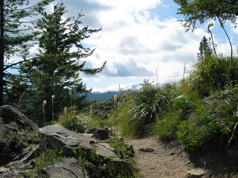
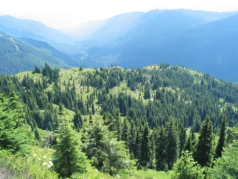
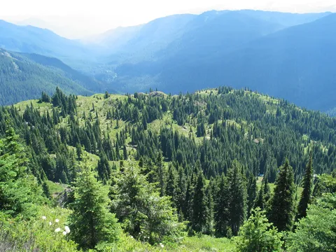
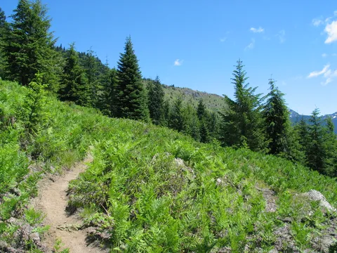
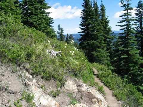
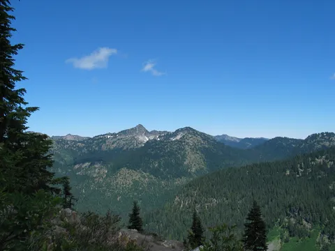
The first 45 minutes or so are spent under the cover of trees and the air though relativly tranquil was cool. The forest cover will quickly give way to open area's more remenicent of Avalanche chutes than alpine meadows. The tranition to open forest cover comes before the conclusion of the first switchback.

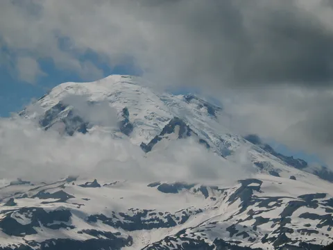
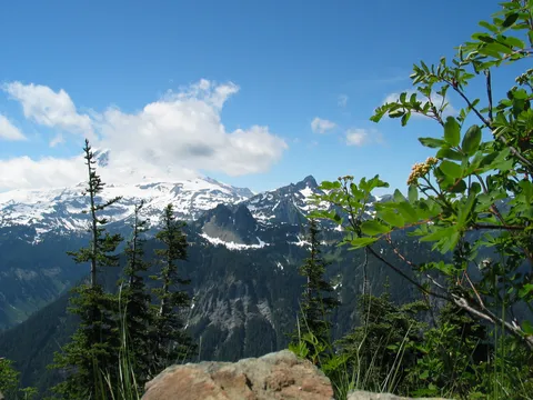
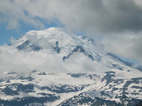
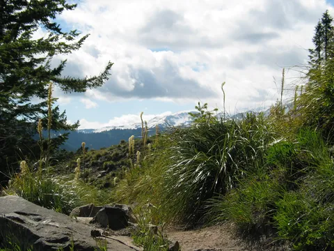
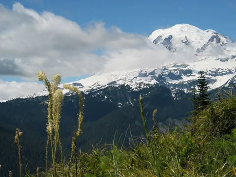
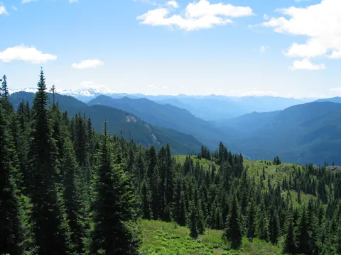
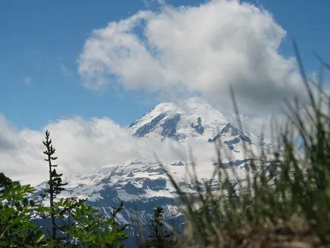
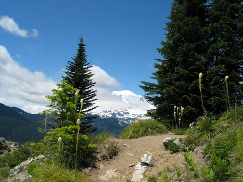
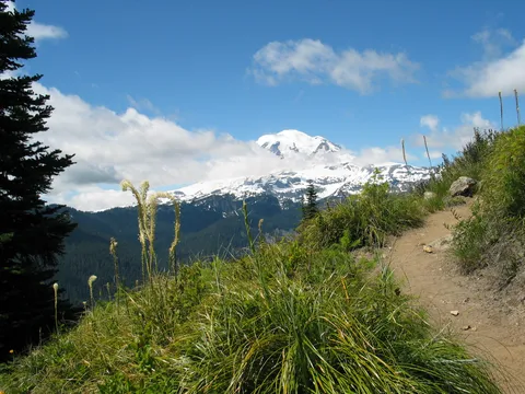
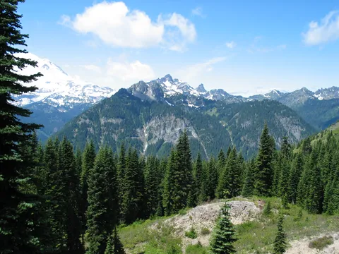
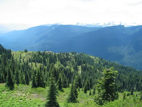
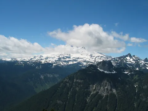
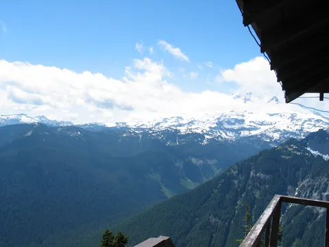
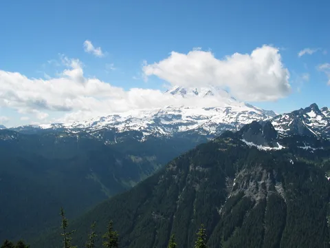
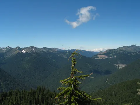
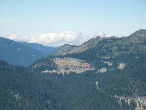
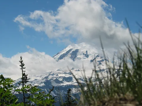
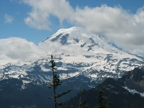
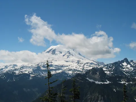
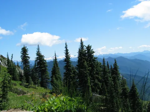
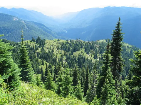
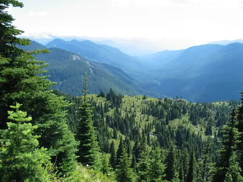
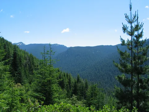
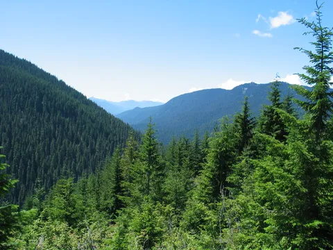
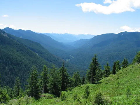
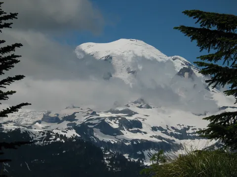
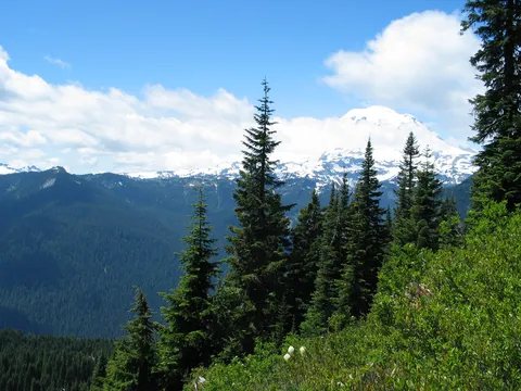
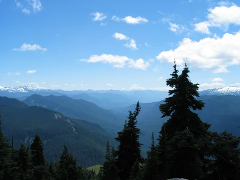
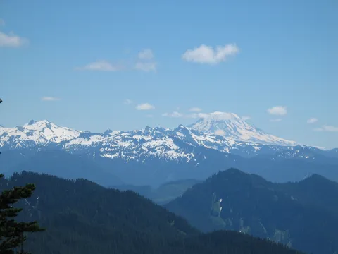
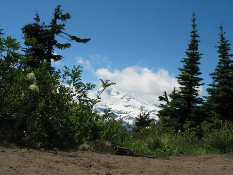
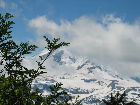
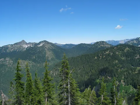
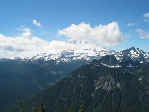
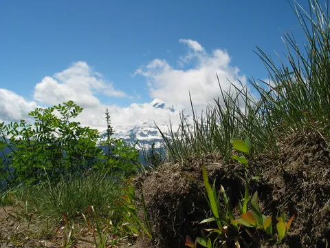
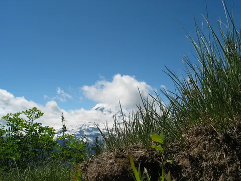
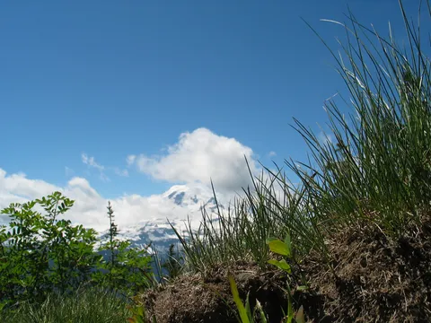
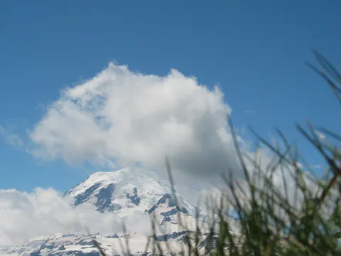
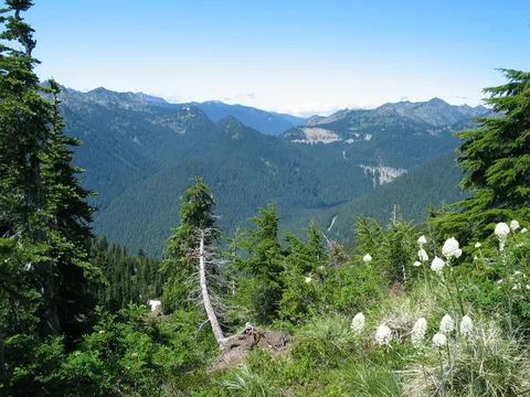
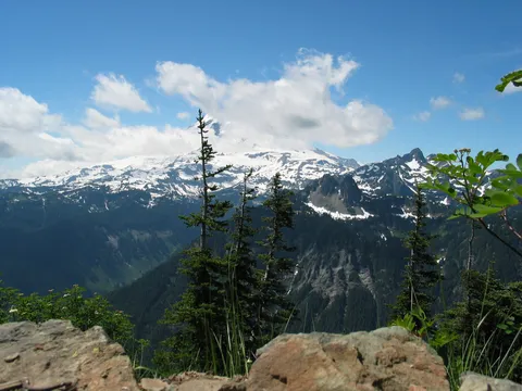
At this point there are some views of Panther Creek valley though not remarkable are still a nice change from having walked through the trees. Now too the sun will become your companion for the bulk of the remainder of the trip. I found it very pleasent to have a sun hat with me, you might too. In any event the trail continues its' gentle meander up the slope and at the second switchback you are rewarded with your first view of Mt. Rainier. Very impressive!

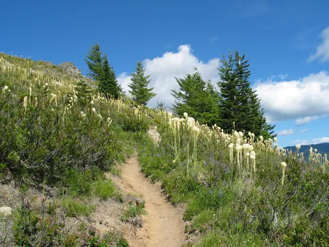
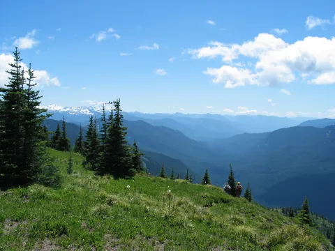
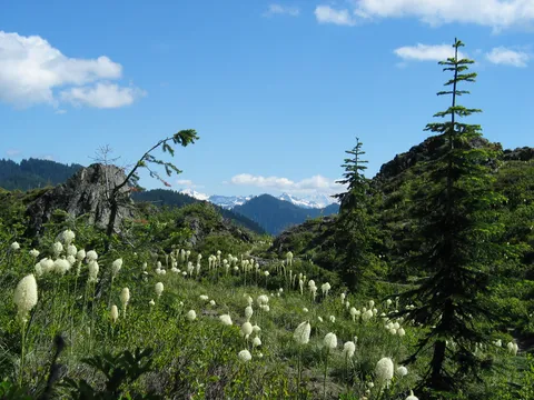
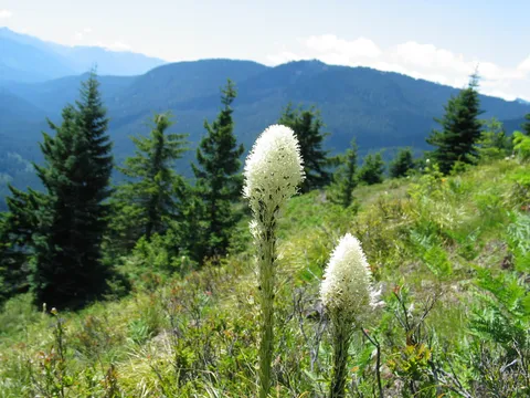
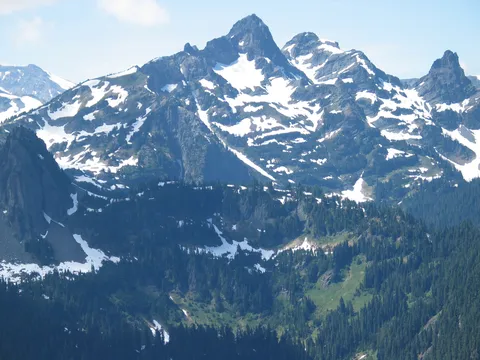
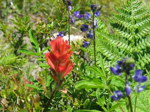
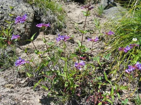
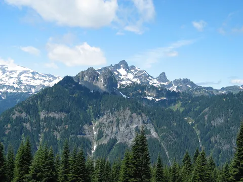
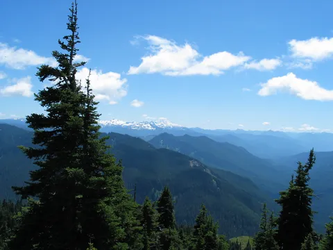
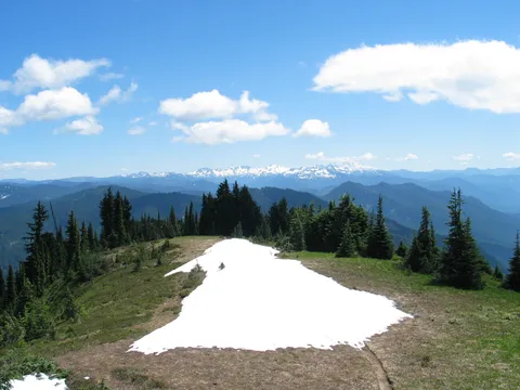
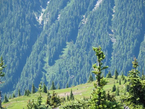
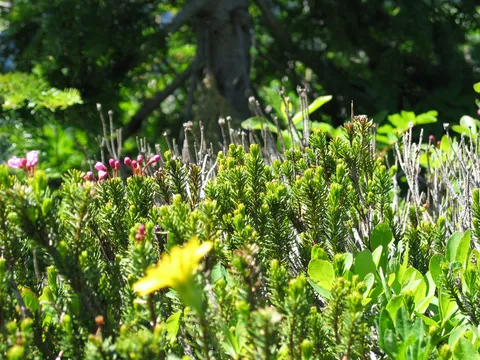
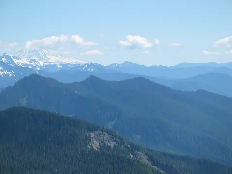
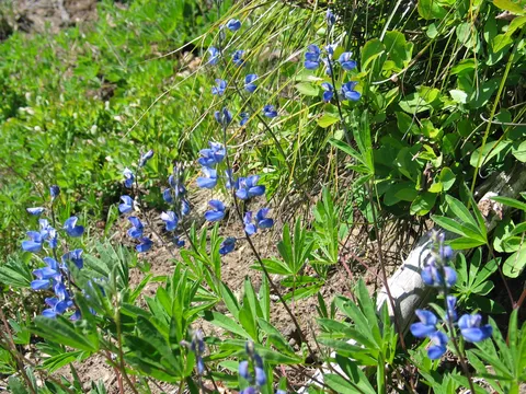
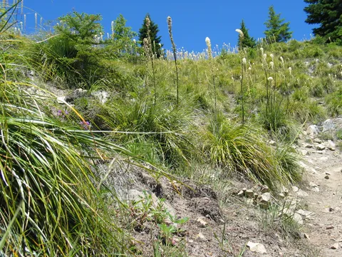
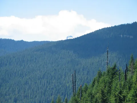
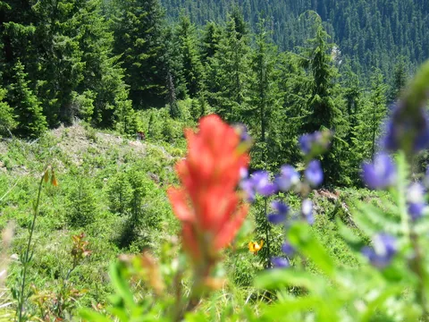
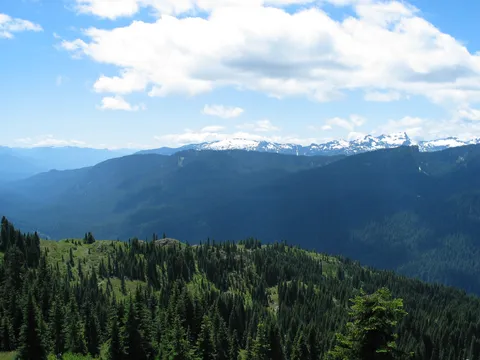
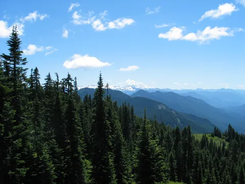
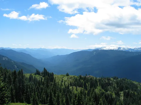
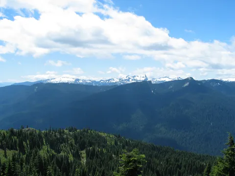
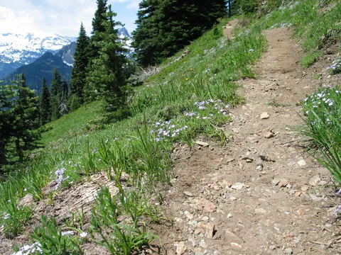
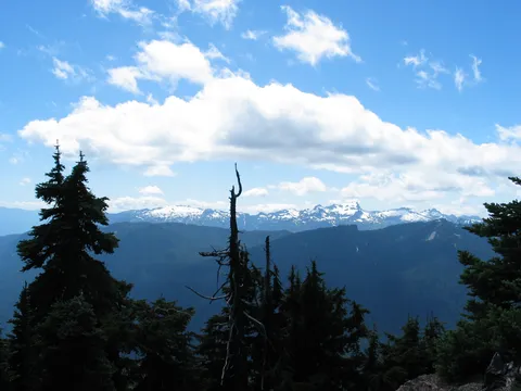
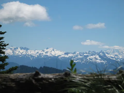
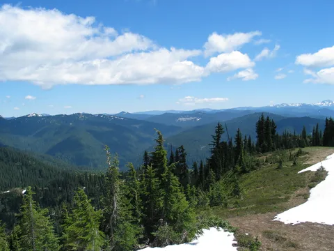
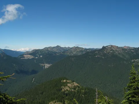
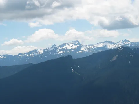
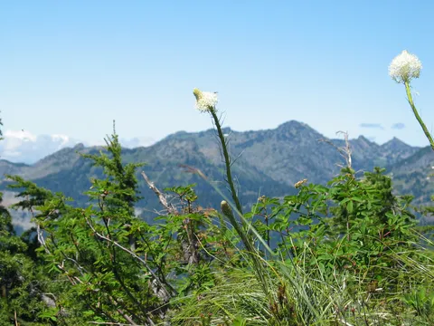
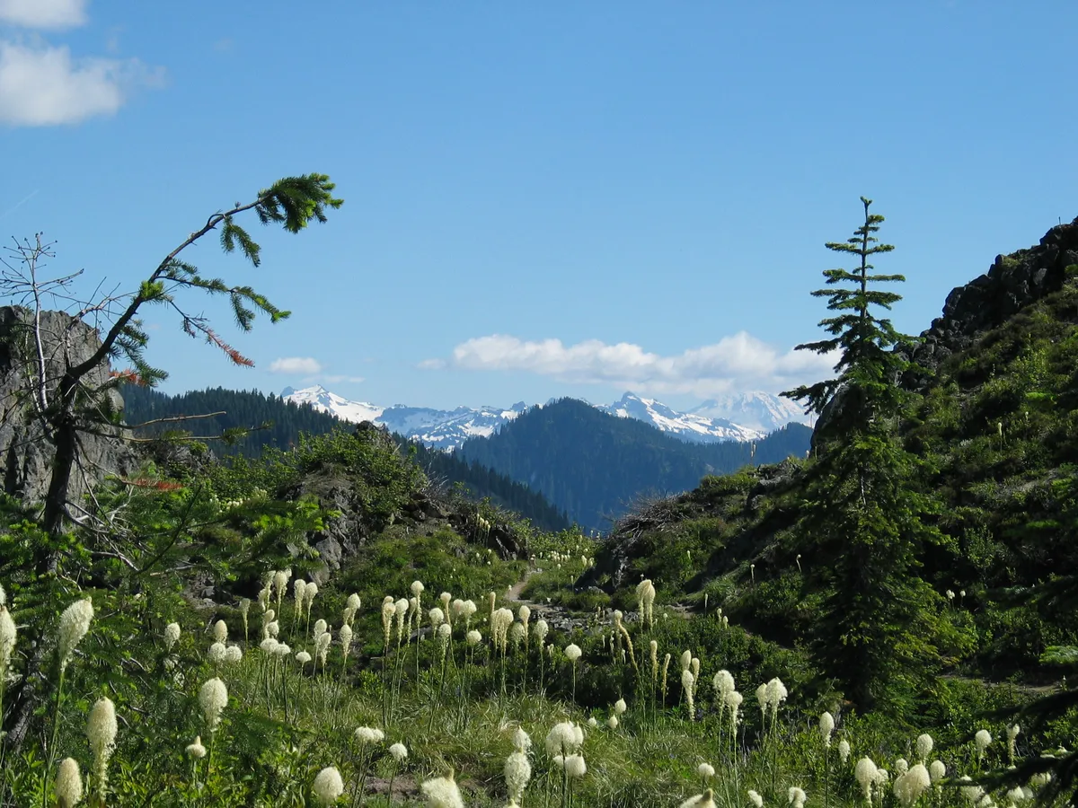
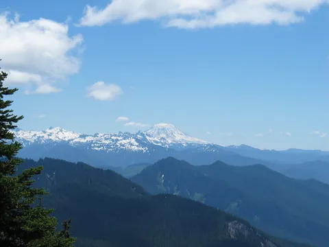
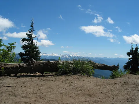
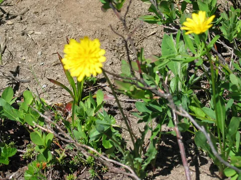
Also it is here that the wildflowers really start coming alive, like fireworks in the sky on the Fourth of July (which it is today!)! From here on for another thirty minutes or so, the surroundings are very 'alpine meadowish' with almost constant views of Mt. Rainier, Mt. Adams, Two Peaks, and Ohanapecosh valley.

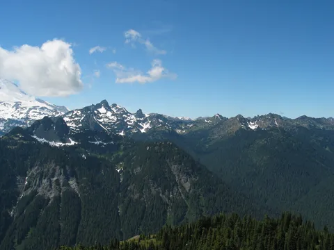
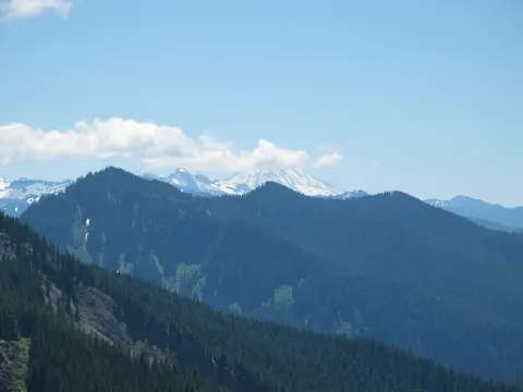
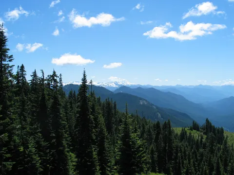
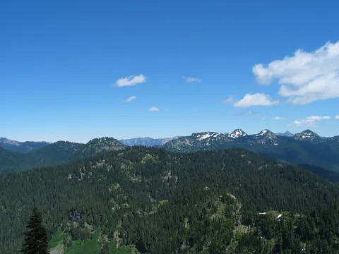
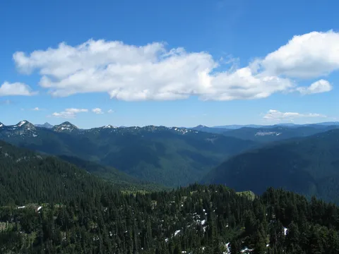
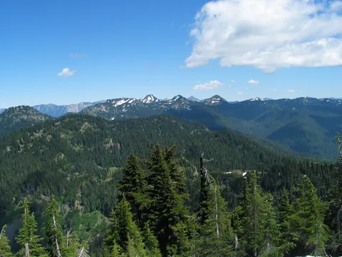
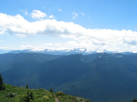
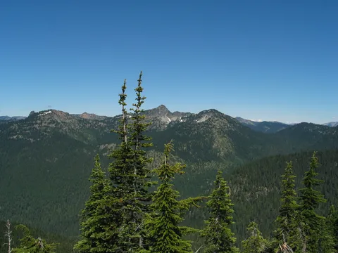
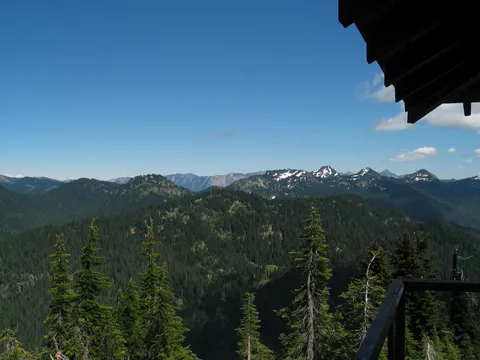
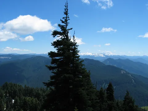
Overall, the view from Shriner Peak is very nice, offering views of Mt. Rainier, Mt. Adams, Mt. Hood and maybe Mt. St. Helens. There were just enough clouds that I can't say for sure say whether one can see Mt. St. Helens. There is no water, at least no reliable water on the trail, so bring some extra. Also, I recommend a sun hat of some type, and of course some sunscreen. With all that you will have one super time!

Photos 100

Highest rated first
Reviews 11

Shriner Peak 9/27/12

★★★★★
Bill Bunch · Sep 29, 2012 · Moderate +

Lea lot of actionft parking lot @ 9am & two of us made it to the top @ 12:30pm.  One guy there, and while we were there, 4 more showed up.  Seven on a weekday in late September is a lot of activity.  Smoky conditions due to Cascade Mts fires.  Nice warm day up there.  Trail in great condition.  Climbing some 3,300 feet is a lot of elevation gain in 4.2 miles.  Trip well worth the effort.  I have been to all 4 Rainier NP lookouts since 2006.  This one needs some "tlc" or it will someday fall into disrepair.  Trust that will not happen.

Awesome hike

★★★★★
Chad · Nov 13, 2009 · Moderate

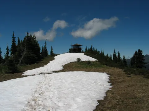
Of the four lookouts at Rainier, the hike to Shriner Peak was my favorite.  Despite the fact that this is the only one you dont see the lookout until you are there (take an altimeter to measure your progress), the hike itself is fun going over one peak after another.  You start out in thick treed forest and continue through the first half of your hike.  The second half is over one hill after another and you constantly wonder if this is the peak that will have the lookout.  I really enjoyed climbing over one hill after another.  They dont call this the lonely hike of Rainier for nothing.  This was the only hike I have ever been on where I didnt see another hiker during the entire time.  Really cool hike.
Berries!

★★★★☆
Hiking.Glory · Sep 26, 2009 · Moderate

If you like wild berries, this hike is for you!! The hill sides are full of huckleberries and some blueberries, we just could not eat enough. There is a lot of fall colour. Views on a clear day are just breathtaking. With 3500ft elevation gain, its a workout, but totally worth it. At this point, the trail is very well maintained, but there is no water on the trail. We took about 3 hrs to hike up, plus more than 30 min berry ticking, and 2 hrs to come down. http://picasaweb.google.com/hiking.glory/ShrinerPeak#

Foggy & cool

★★★☆☆
Milt · Aug 7, 2009 · Moderate

Just got back from the peak today (Aug 7, '09). From what I've heard, this trail is buggy and you roast in the sun the last half of the trail. So I saved it for a cloudy day.  First off, the trailhead is just a small sign without a name. The parking "lot" (more like a turnout) is several yards to the North of the trail and looks like it could hold 8 cars.  The first part of the trail is in the woods. Lots of downed trees and huge burnt stumps from a fire decades ago. Once I got out of the forrest, I started noticing that every 1 foot diameter tree had it's lower bark scraped off. I was told that bears do that to get at the sap (bears?!).  I started to check the trail for pawprints, but it was all bootprints (good for me).
I was the only one on the way up. There was only two areas of the trail that I really had to be careful on. Some parts of the trail was soft sand and hard to get traction. The fog was everywhere and covered the plants and trees with dew. My pants and shoes were soaked from brushing up against it.  There were also several false trails that one could get confused on, but hikers placed rocks and branches to keep you on the right track.

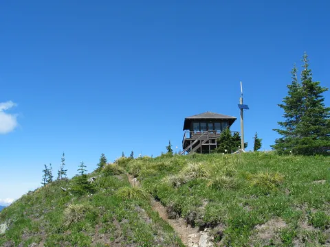
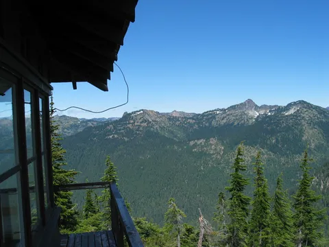
I finally got to the top and ran into two rangers and three of their friends that spent the night at the lookout. Some of them used the campsite several yards away. There is a toilet at the top also. No view unfortunately because of the fog. While snacking on a sandwich, I got mobbed by a half dozen palm sized chipmunks running all over the deck.  I started a 9am and didn't get back to my car until 3pm. That's with a hour lunch at the lookout. The best thing with the fog was no bugs! Not one.

Shriner Peak

★★★★★
b brooks · Aug 4, 2009 · Moderate

Went on 7/31/09

Have done lots of hiking in MRNP, but for some reason I have never done this one until now. It was fantastic!  The trail was all uphill, but regularly flattened out for just a few steps, enough to catch your breath.  There were tons of little wild strawberries growing in the sunny patches on the way up, we stopped and munched on  them (don't tell the bears!) We only saw two other groups we saw on the trail, and so it felt like we had the mountain all to ourselves.  A ranger at Paradise had said that it was one of the buggiest years he could remember -- probably why we got eaten alive!  Bug spray, sunscreen, and a sun hat are musts for this hike.

WOW

★★★★★
Chris J · Jun 13, 2009 · Strenuous

WOW!  We were sent to Fort Lewis and we decided to try and make the most of our time here. I gathered up the guys and a gal. When we arrived it was about to storm but we didn't let that stop us. The entrance to the trail was quite inviting and sent our lungs into scavenger mode for any available oxygen considering we had been on the West Coast for two days. The hike was just the workout we were looking for. The view of Mount Rainier and other places was unlike anything we had seen before considering most of us were from Florida. If you go near Washington and do not experience this hike, you have cheated yourself of one God's gifts to mankind. Seven out of eleven soldiers that went to that hike on June 13, 2009 hiked the trail. The others are in deep regret (whether or not they want to admit it).

Teh Awesomes

★★★★☆
shivani · Jul 9, 2008 · Moderate

This hike would have been great, however there was a lot of fog that day. We only managed to get up to about 4800 ft before hitting snow fields which meant that we couldn't find the trail and there were no footprints to be found.

On the plus side on the way back we saw a baby black bear about 15m away. It was so cute! We made lots of noise on the way back to keep the Mother away.

To find the hike - it is past the turn off to sunrise on the right going South. We thought that we had missed it so we kept going for a while until we saw some cars at a parking spot (which is the parking spot for Shriner Peak). The trail head is just 2 mins walk south of that. There is a sign marking it.

Good hike on a clear day!

★★★★☆
Anonymous · Jun 30, 2008 · Moderate +

We did this hike yesterday (6/29/08) - first thing to know is that there is still a lot of snow on the trail - mostly the last mile or so. At some points it's really difficult to find the path. We were following the footsteps and I'm sure we didn't follow the 'actual' trail. But the snow is mostly packed and we did finally reach the peak! If you don't want to hike on snow, you should probably wait for a month at least before you try this hike.
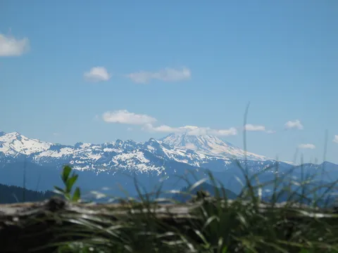
It's definitely a great hike on a clear day. The view of Mt Rainier is amazing and it appears suddenly in your view out of nowhere! We didn't see Mt St Helens - that's probably because it was too cloudy by the time we reached the top.

Stunning Views

★★★★☆
drobertsrn · Sep 8, 2005 · Strenuous

Great hike but definitely a good workout. You definitely feel the 3400 feet of gain if you're out of shape. I got to the top in about 2 1/2 hours stopping to pick and eat huckleberries found on the upper 1/3 of the trail.  Good stuff!! High reward hike!! 3 liters of water is good for the climb.

Great hike....

★★★★★
Geoff · Aug 6, 2005 · Moderate

Having just moved out to the great NW from Chicago, this was my first hike in Mt. Rainier Nat. Park....and it was incredible. I"ve done a couple out on I-90, but those didn't come anywhere close to comparing with the beauty of this hike. About 75% of the hike is spent with wonderful views. It's steep...but not too steep. I think the steepest part was possibly the shaded climb through the trees. I'm just getting back into hiking, and had no problem finishing this hike(let's not talk about the blisters though, time for new boots). The view and relaxing atmosthere at the peak is very rewarding. A few notes....the trailhead was about 8 miles from the Y-split, not 6. There is another trail to some lake at 6 miles which I mistakenly stopped at....and at the Y-split you should follow the road on the right(Toward Portland). Also, get here early....for parking, and temparature. I started at 7am and was on my way back down when most people were coming up....just as it was getting hot. You really are out in the sun for most of this hike. Saw about 7 groups of hikers total.
It Looks Like It Hasn't Changed a Bit!

★★★★★
bnurd · Apr 17, 2005 · Moderate +

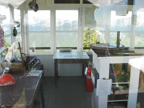
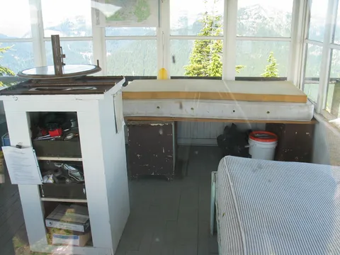
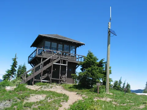
Fifty two years ago I was the Park Service lookout at Shriner Peak. I made the hike more than once that summer, but I never returned to Shriner Peak after my time there. To read the current review today (4/16/05) took me back to that wonderful summer. The hiking narrative and accompanying pictures are just as I remember it. The ultimate view is breathtaking and worth every step. The pictures of the interior of the lookout yanked me back to the days and I nights I spent there. It even looks like the same stove. And, yep, there's that Heckman firesight right in the middle of the room. It was an important summer for me. I now live in Honolulu and in my visits to the Northwest I have never thought about hiking up to Shriner Peak again. After reading the review and seeing the pictures, I'll try to work it in. These old legs ought to be able to handle it. I'll remember my sun hat and water. I can still see the views vividly in my memory. It feels like time to update the memory bank.

Log in or sign up to write a review.