
Directions: From Darrington drive north about 5 miles to where Highway 530 crosses the river (don't worry you won't miss it). Instead of following 530 on the far side of the river take Suiattle River Road (Forest Service road 26)about 19 miles to Forest Service road 2680. The trailhead is at the end of this road.
Trail notes: We'll we finally made our way to Green Mountain after finding out last weekend that the Mountain Loop Highway was closed. So this time we went in from the Darrington side and did indeed make our way to Green Mountain.
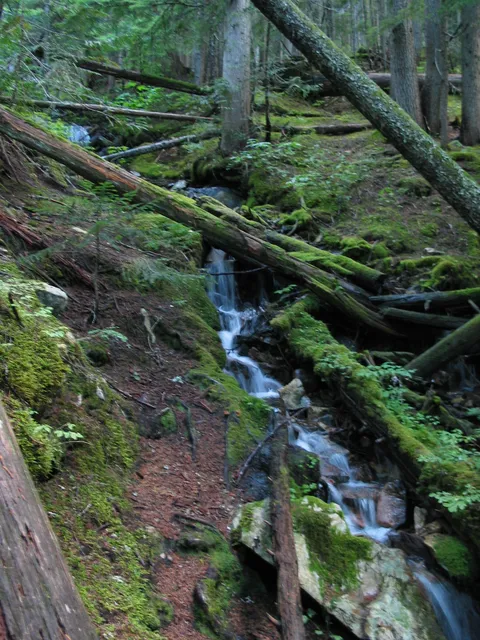
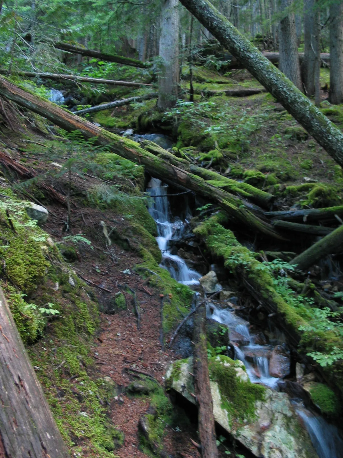
This trail starts off easily enough making its' way through what appears to be old growth timber, though the bulk of the trees seem to young for such to be the case. Still there were no real stumps to speak of so maybe this is right.
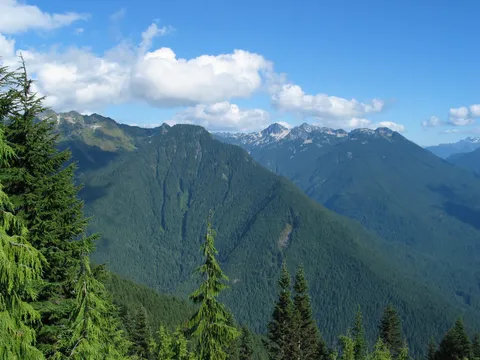
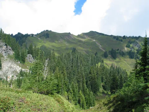
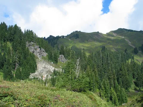
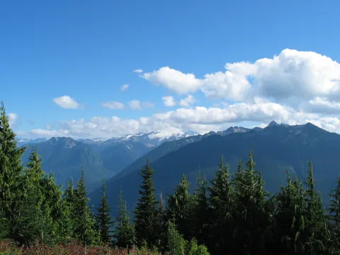
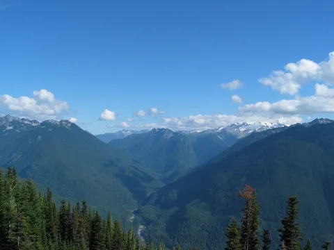
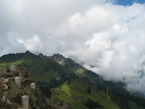
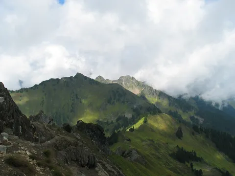
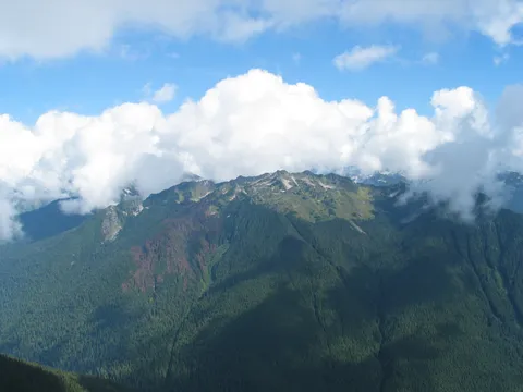
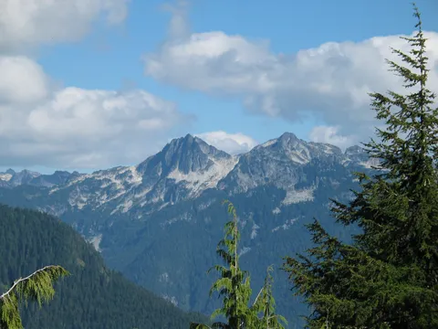
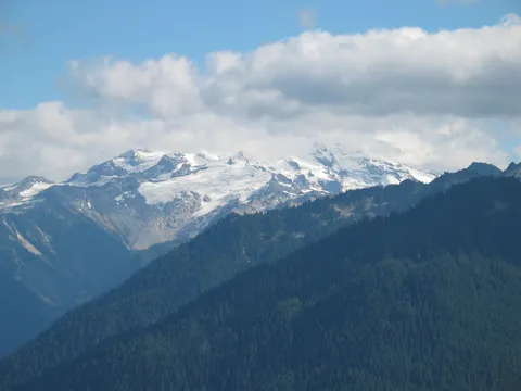
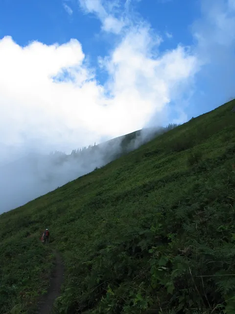
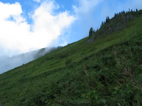
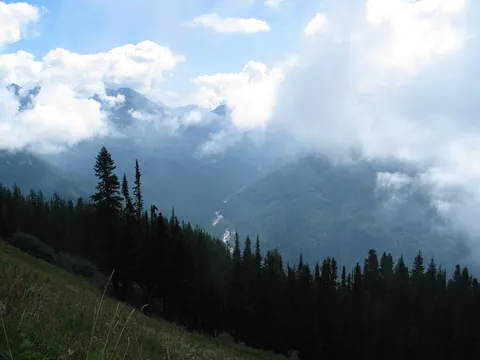
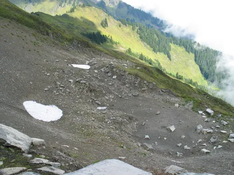
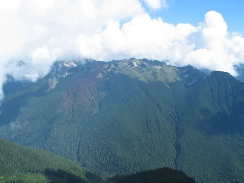
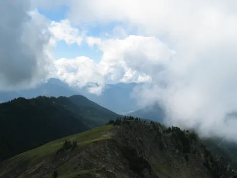
Still the weather today was supposed to be partly cloudy with sun breaks in the afternoon. The forecast was in fact right the beginning of this hike after a brief inspection of the washed out section of Forest Service road 26, had us starting at 11am. When we did this hike everything was in the clouds so visibility was pretty sketchy and this shows in the photos
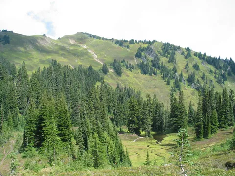
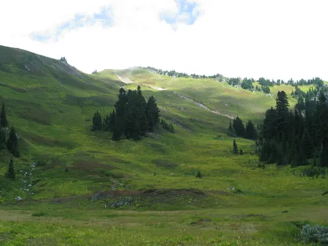
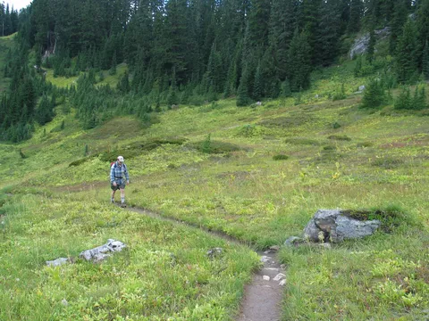
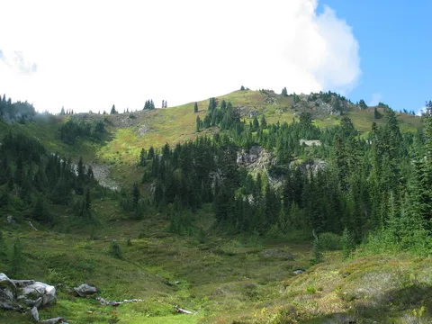
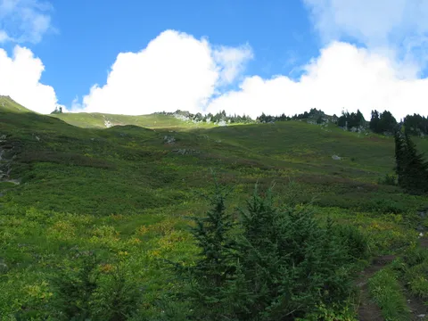
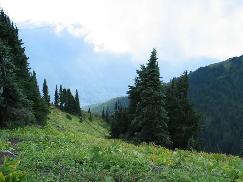
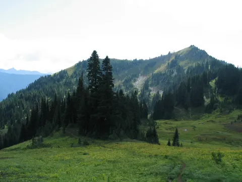
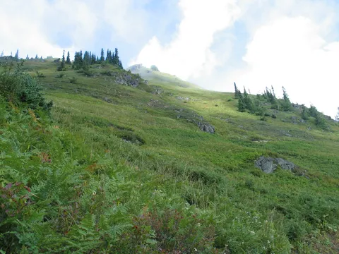
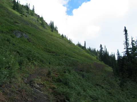
The first part of the trail is very easy, and the trail maintained. After about one half hour you will make your way out of the trees to green meadows which are on a pretty steep slope. Fret not the trail navigates the terrain with great ease. For the next bit the trail switchbacks, working its way up to the top of the ridge, which coincidently isn't as high as the peak you will probably be fixated on; no not Glacier peak the one above you
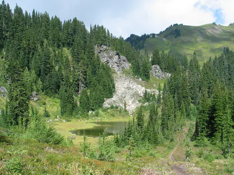
After another 20-30 minutes or so you will make your way back into some forest and the trail levels even more. Then the trail takes a quick steep to get over a notch into the Green Mountain valley and a little lake there.
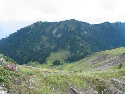
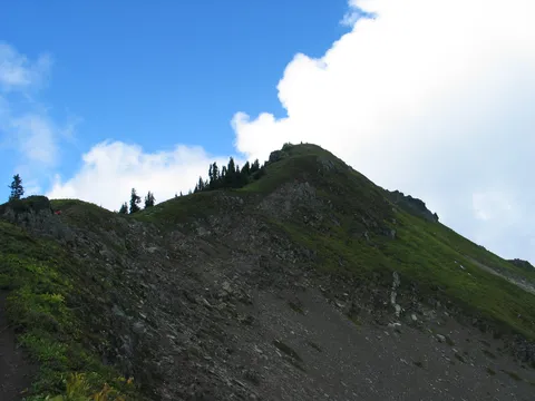
From the lake you will spy Green Mountain ahead of you, and though it looks far is really not that far away. From here the trail begins to steepen getting ever steeper as you near the upper reaches of the trail.
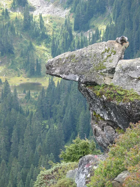
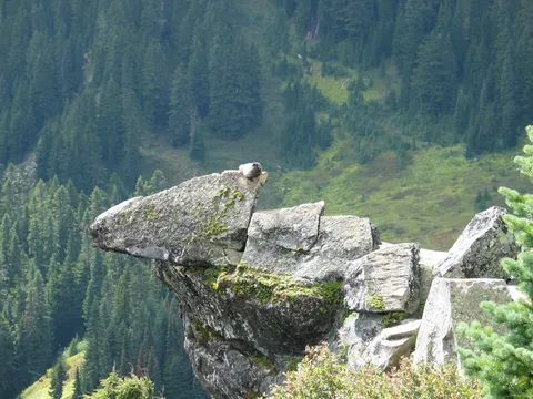
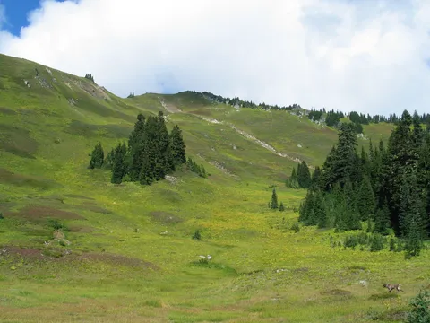
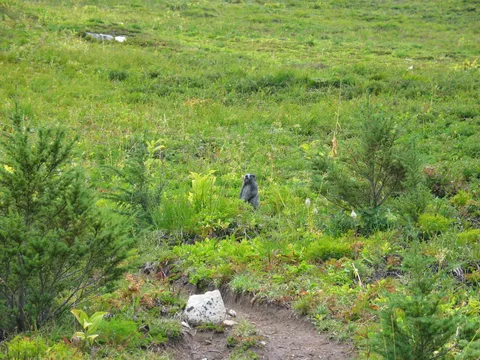
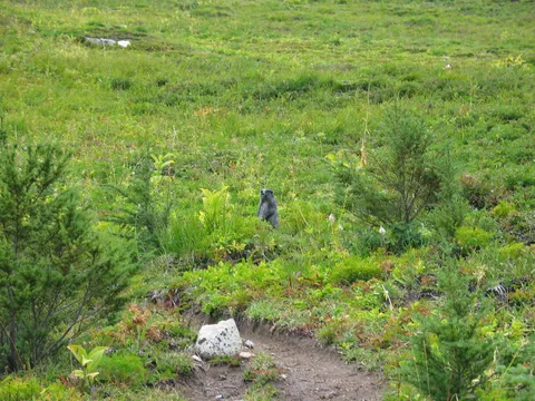
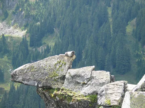
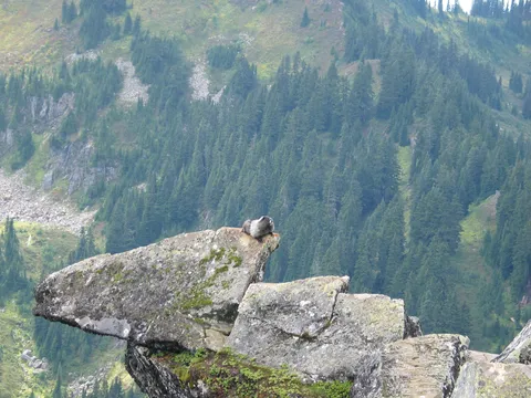
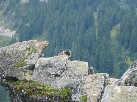
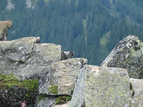
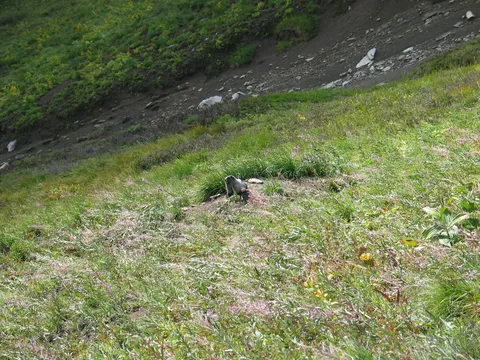
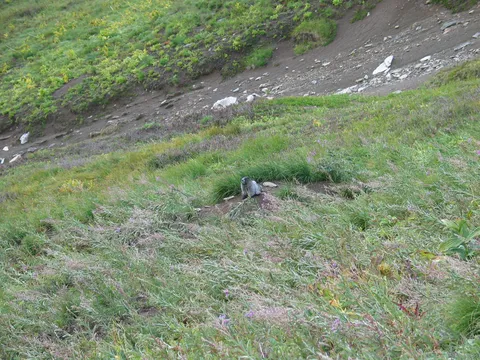
Take heart as the going becomes steeper the reasons for taking a break increase too. There are Marmots everywhere! You will hear their high pitched warning whistles as you make your way through the green meadows. Old marmots, young marmots, everywhere a marmot! Don't know that I have seen this density of Marmots anywhere.
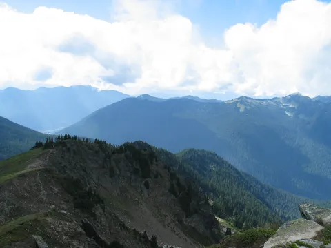
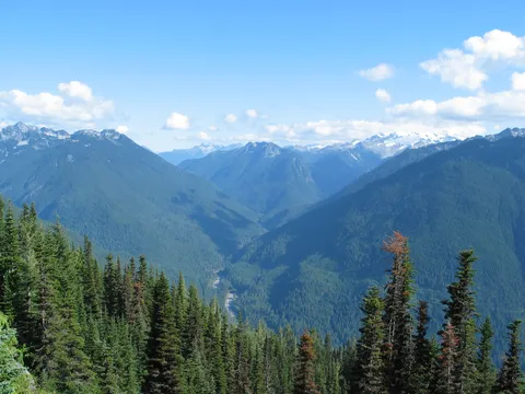
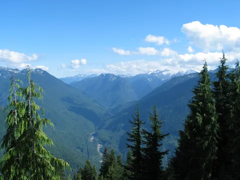
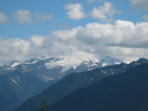
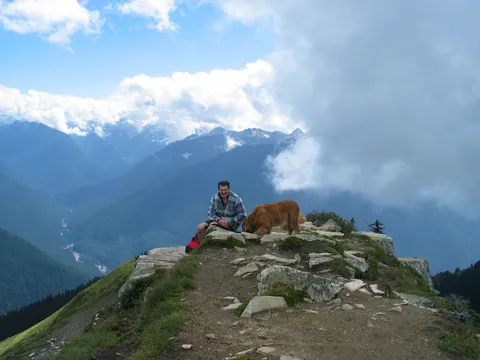
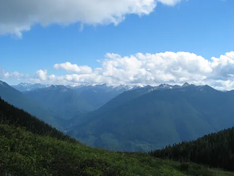
After leaving the bulk of the Marmots behind you slip into a patch of trees, gain the ridge edge and the going becomes steeper still, though only a couple minutes separates you from the top. Hmmm, a perfect time to look around and see what you can spy. Today, the views weren't so good for us, though it appears on a clearer day the view of Glacier Peak would be outstanding.
On effort to payout I think this hike scores pretty well. Still, it wasn't quite the uphill I was looking for, and the weather wasn't giving much in the way of view out. If you are looking for solitude, this hike isn't a prime candidate. However, it isn't exactly Mt. Si either, and this is Labor Day weekend... Four stars.
Photos 46
Highest rated first